Battcock's Island

Island in Huntingdonshire Huntingdonshire

England

Battcock's Island

Houghton Mill near Huntingdon This is the view, looking west. At this time the mill was a very popular youth hostel as well as a National Trust property. That arrangement ceased in 1982.

The image has been scanned with some difficulty from an underexposed Gratispool transparency from summer 1965.
Houghton Mill near Huntingdon Credit: Roger D Kidd

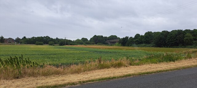
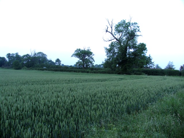
Battcock's Island is a small, uninhabited island located in Huntingdonshire, England. Situated along the River Great Ouse, it is part of the larger Ouse Washes, a vast area of wetland and floodplain. The island is approximately 4 acres in size and is characterized by its lush vegetation and diverse wildlife.

Access to Battcock's Island is limited due to its protected status as a nature reserve. It is a designated Site of Special Scientific Interest (SSSI) and forms an important part of the Ouse Washes Nature Reserve. The island's unique habitat attracts a wide range of bird species, making it a popular spot for birdwatching enthusiasts.

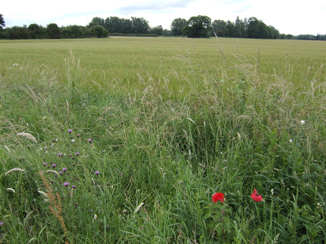
The vegetation on Battcock's Island is primarily composed of reeds, grasses, and willows, which provide shelter and nesting sites for various waterfowl and wading birds. The surrounding waters are home to fish species such as pike, perch, and roach.

Due to its remote location and lack of human disturbance, Battcock's Island serves as a crucial breeding and feeding ground for many rare and protected bird species. It is particularly known for hosting large populations of waders, including lapwings, redshanks, and snipes.

Visitors to Battcock's Island can observe the abundant birdlife from designated viewing points on the riverbank. The island's peaceful and serene environment offers a tranquil escape for nature lovers and provides valuable insight into the diverse ecosystems found within the Ouse Washes.

If you have any feedback on the listing, please let us know in the comments section below.

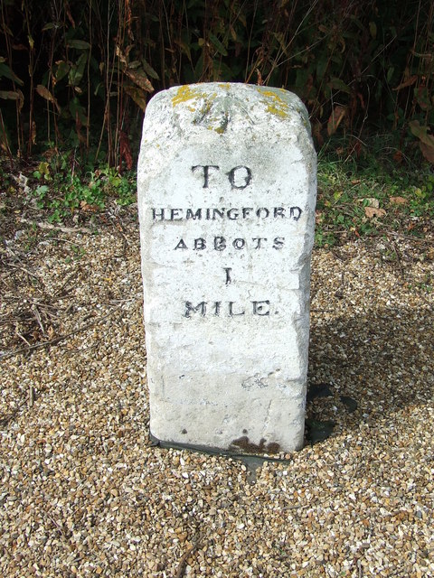
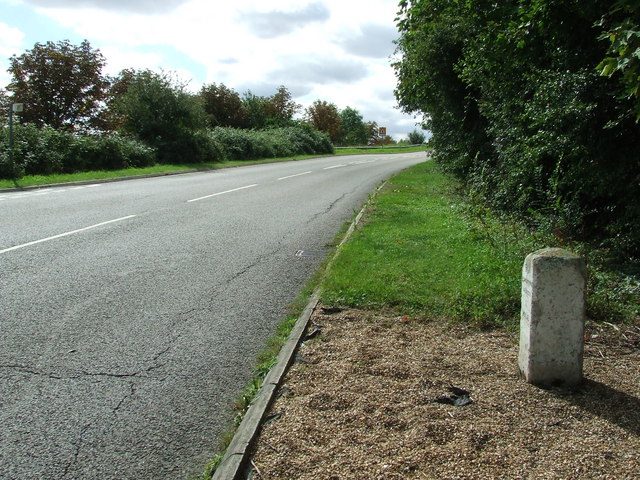
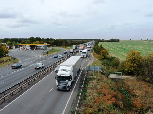
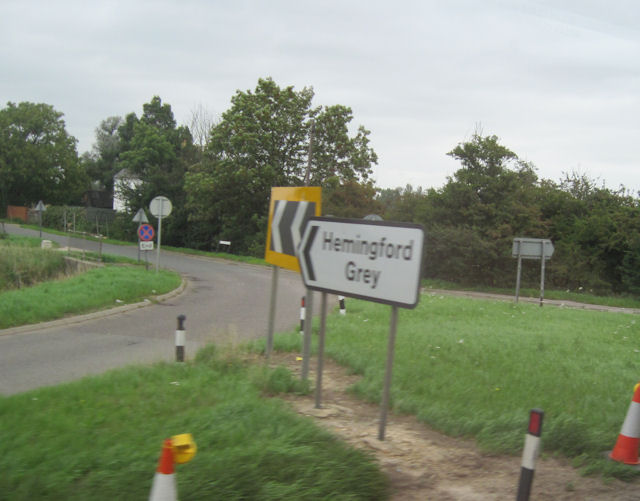
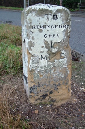
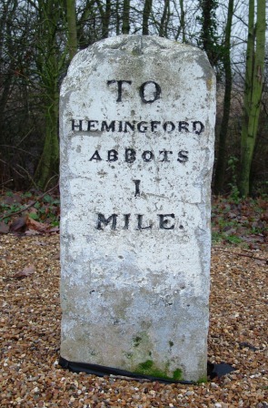
Battcock's Island Images

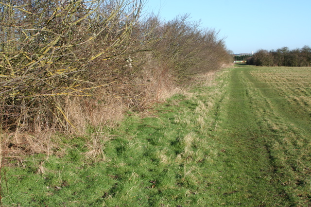
Images are sourced within 2km of 52.323337/-0.11636146 or Grid Reference TL2871. Thanks to Geograph Open Source API. All images are credited.

Houghton Mill near Huntingdon This is the view, looking west. At this time the mill was a very popular youth hostel as well as a National Trust property. That arrangement ceased in 1982.

The image has been scanned with some difficulty from an underexposed Gratispool transparency from summer 1965.
Houghton Mill near Huntingdon
This is the view, looking west. At this time the mill was a very popular youth hostel as well as a National Trust property. That arrangement ceased in 1982. The image has been scanned with some difficulty from an underexposed Gratispool transparency from summer 1965.
View towards the A1307 south of Hemingford Abbots
Junction with New Road
Field alongside New Road
Services on the A14 near to Hemingford Abbots
Rideaway from the A14 overbridge
Barley field Between Hemingford Grey and the A14. Galley Hill Farm is in amongst the trees in the distance.
Barley field
Between Hemingford Grey and the A14. Galley Hill Farm is in amongst the trees in the distance.
Field boundary west of Moat's Way Farm Facing north towards the A14, where a lorry can just be seen passing between the trees. This field is west of the deserted Moat's Way Farm.
Field boundary west of Moat's Way Farm
Facing north towards the A14, where a lorry can just be seen passing between the trees. This field is west of the deserted Moat's Way Farm.
Old Milestone Old milestone near to Hemingford Abbots, Cambridgeshire. For overall view see <a title="https://www.geograph.org.uk/photo/1461091" href="https://www.geograph.org.uk/photo/1461091">Link</a>
Old Milestone
Old milestone near to Hemingford Abbots, Cambridgeshire. For overall view see Link
Old Milestone Old milestone near to Hemingford Abbots, Cambridgeshire. For close up view see <a title="https://www.geograph.org.uk/photo/1461085" href="https://www.geograph.org.uk/photo/1461085">Link</a>
Old Milestone
Old milestone near to Hemingford Abbots, Cambridgeshire. For close up view see Link
The busy A14 trunk road Consultation is currently (late 2009) taking place to widen the A14 between Ellington and Fen Ditton.
The busy A14 trunk road
Consultation is currently (late 2009) taking place to widen the A14 between Ellington and Fen Ditton.
Turn off for Hemingford Grey from A14
A14 Hemingford Abbots services
A14 turn near Gore Tree Farm
Looking north from A14
Thatch Craftsmanship at Rectory Farm Appreciation of this beautiful thatched roof is somewhat marred by the cottage's position right next to the A14, which is a murderously busy dual carriageway (on the line of a Roman Road). This section of the A14 will soon be bypassed and hopefully the existing road will become a lot quieter.
Thatch Craftsmanship at Rectory Farm
Appreciation of this beautiful thatched roof is somewhat marred by the cottage's position right next to the A14, which is a murderously busy dual carriageway (on the line of a Roman Road). This section of the A14 will soon be bypassed and hopefully the existing road will become a lot quieter.
Old Milestone by Goretree Road, Hemingford Grey Parish Carved stone post by the UC road, in parish of HEMINGFORD GREY (HUNTINGDONSHIRE District), Goretree Road, just North of junction with A14, on the verge, on West side of road. Erected by an unknown authority in the 19th century. 

Inscription reads:-
TO
HEMINGFORD
GREY
1
MILE  
Carved benchmark on top.  

Milestone Society National ID: HU_HG01.
Old Milestone by Goretree Road, Hemingford Grey Parish
Carved stone post by the UC road, in parish of HEMINGFORD GREY (HUNTINGDONSHIRE District), Goretree Road, just North of junction with A14, on the verge, on West side of road. Erected by an unknown authority in the 19th century. Inscription reads:- TO HEMINGFORD GREY 1 MILE Carved benchmark on top. Milestone Society National ID: HU_HG01.
Old Milestone north of the A1307, Hemingford Abbotts Parish Carved stone post by the UC road, in parish of HEMINGFORD ABBOTS (HUNTINGDONSHIRE District), South of Ridgeway Farm, at junction with new UC road leading from and to the newly dualled A14, on the verge, on West side of road. Stone relocated from its original position by the A14 when that road was upgraded. Originally erected by an unknown authority in the 19th century. 

Inscription reads:-
TO
HEMINGFORD
ABBOTS
1
MILE 
Carved benchmark on top.

Cambridgeshire HER listed
CHER Number: MCB18317 <span class="nowrap"><a title="https://www.heritagegateway.org.uk/Gateway/Results_Single.aspx?uid=MCB18317&resourceID=1000" rel="nofollow ugc noopener" href="https://www.heritagegateway.org.uk/Gateway/Results_Single.aspx?uid=MCB18317&resourceID=1000">Link</a><img style="margin-left:2px;" alt="External link" title="External link - shift click to open in new window" src="https://s1.geograph.org.uk/img/external.png" width="10" height="10"/></span>

Milestone Society National ID: HU_HA01.
Old Milestone north of the A1307, Hemingford Abbotts Parish
Carved stone post by the UC road, in parish of HEMINGFORD ABBOTS (HUNTINGDONSHIRE District), South of Ridgeway Farm, at junction with new UC road leading from and to the newly dualled A14, on the verge, on West side of road. Stone relocated from its original position by the A14 when that road was upgraded. Originally erected by an unknown authority in the 19th century. Inscription reads:- TO HEMINGFORD ABBOTS 1 MILE Carved benchmark on top. Cambridgeshire HER listed CHER Number: MCB18317 LinkExternal link Milestone Society National ID: HU_HA01.
Show me another place!

Battcock's Island is located at Grid Ref: TL2871 (Lat: 52.323337, Lng: -0.11636146)

Administrative County: Cambridgeshire

District: Huntingdonshire

Police Authority: Cambridgeshire

What 3 Words

///stealing.shortens.dwarf. Near Houghton, Cambridgeshire

Related Wikis

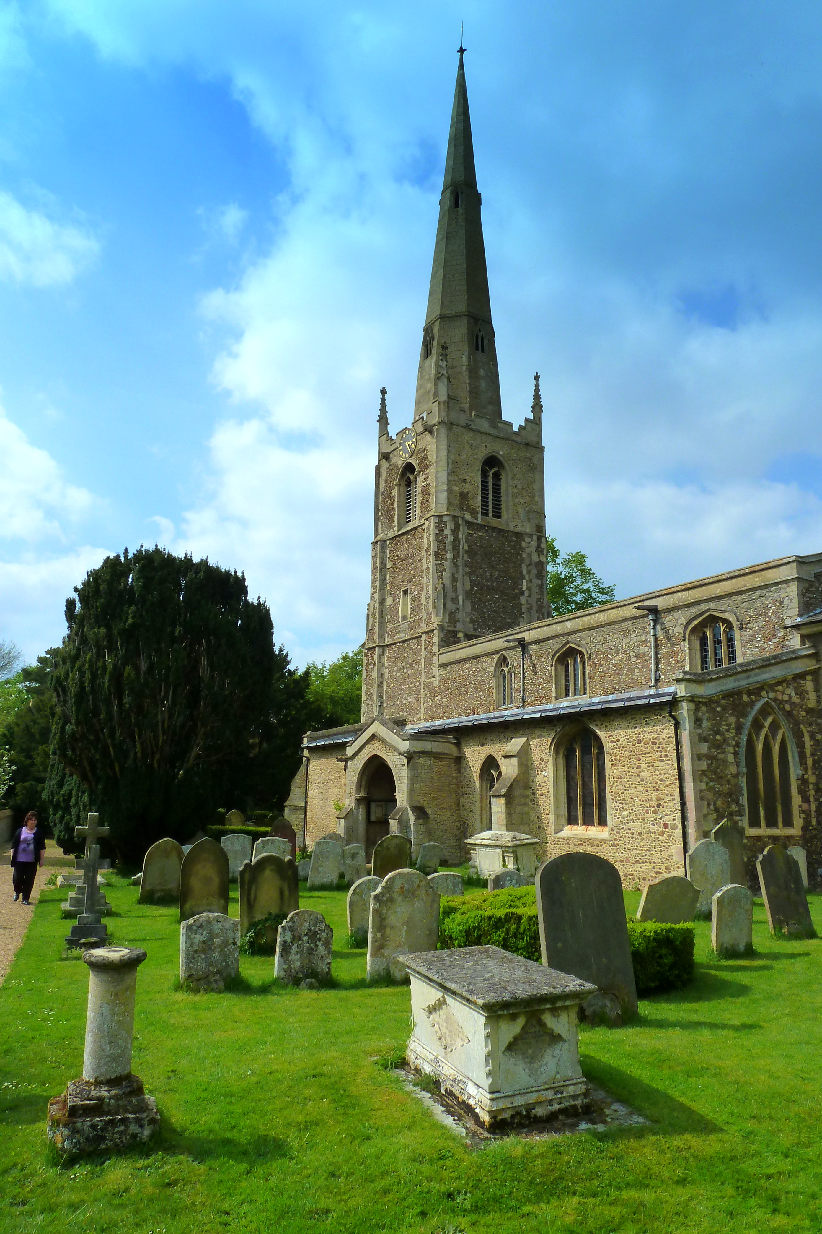
St Margaret's Church, Hemingford Abbots

St Margaret's Church, in Hemingford Abbots is a Church of England church, dedicated to Saint Margaret of Antioch. A church has stood on the site since...

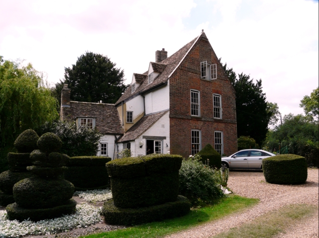
The Manor (Cambridgeshire)

The Manor is a house in the village of Hemingford Grey, Cambridgeshire. It was built in the 1130s and is one of the oldest continuously inhabited houses...
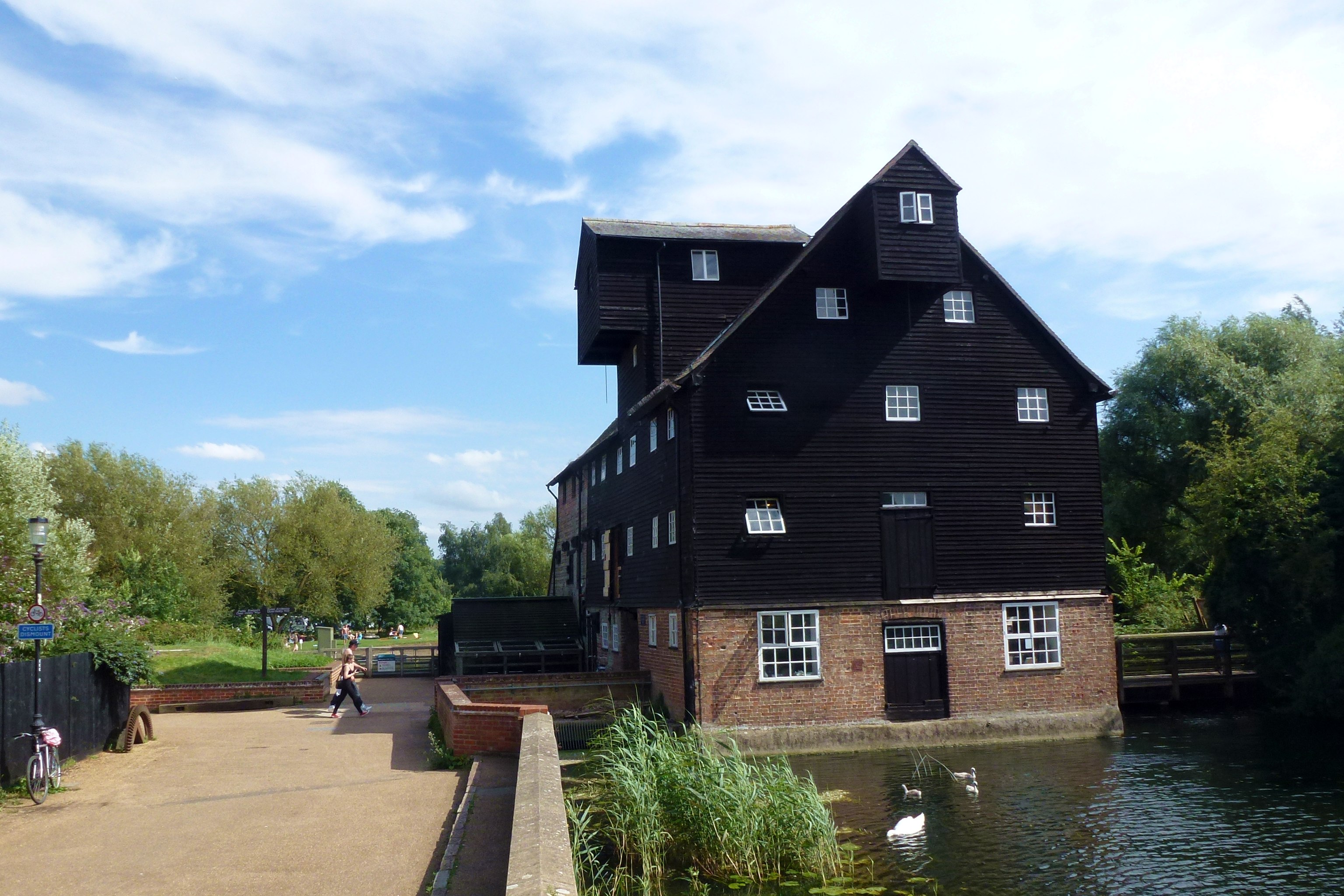
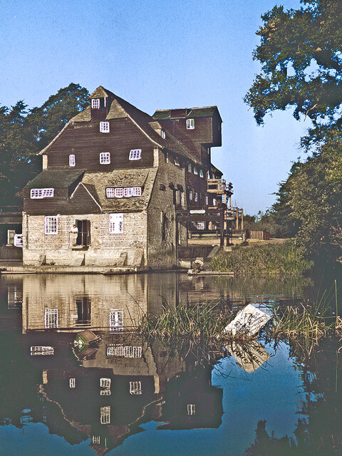
Houghton Mill

Houghton Mill is a water mill located on the Great Ouse in the village of Houghton, Cambridgeshire, England. It is a National Trust property and a Grade...
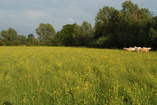
Houghton Meadows

Houghton Meadows is a 4.7-hectare (12-acre) biological Site of Special Scientific Interest (SSSI) between Houghton and St Ives in Cambridgeshire. The SSSI...

Nearby Amenities

Located within 500m of 52.323337,-0.11636146
Hemingford Abbots
Place: village
Lat/Long: 52.3208715/-0.1195242
stump cross
Historic: monument
Lat/Long: 52.3213845/-0.1184583
Bus Stop
Bus: yes
Operator: Whippet
Public Transport: platform
Lat/Long: 52.322265/-0.1189051
Post Box
Post Box Type: pillar
Royal Cypher: EIIR
Royal Cypher Wikidata: Q33102113
Lat/Long: 52.3223511/-0.1190611
Pub
Axe and Compass
Wikidata: Q26615711
Lat/Long: 52.3228011/-0.1194549
Lcn: CambsCC-Huntingdon-StIves
Lat/Long: 52.3229323/-0.1203538
Leisure: playground
Lat/Long: 52.3213586/-0.1193317
Bus Stop
Church Lane
Bus: yes
Naptan AtcoCode: 0500HHEMA001
Naptan Bearing: NW
Naptan CommonName: Church Lane
Naptan Indicator: opp
Naptan Landmark: Church Lane
Naptan NaptanCode: cmbdpdpd
Naptan ShortCommonName: Church Lane
Naptan Street: High Street
Naptan Verified: no
Public Transport: platform
Source: naptan_import
Lat/Long: 52.3223925/-0.1189903
Bus Stop
Church Lane
Bus: yes
Naptan AtcoCode: 0500HHEMA002
Naptan Bearing: SE
Naptan CommonName: Church Lane
Naptan Indicator: near
Naptan Landmark: Church Lane
Naptan NaptanCode: cmbdpdpg
Naptan ShortCommonName: Church Lane
Naptan Street: High Street
Naptan Verified: no
Public Transport: platform
Source: naptan_import
Lat/Long: 52.3226082/-0.1190999
Bus Stop
New Road
Bus: yes
Naptan AtcoCode: 0500HHEMA003
Naptan Bearing: NW
Naptan CommonName: New Road
Naptan Indicator: near
Naptan Landmark: New Road
Naptan NaptanCode: cmbdpdpj
Naptan ShortCommonName: New Road
Naptan Street: High Street
Naptan Verified: no
Public Transport: platform
Source: naptan_import
Lat/Long: 52.3196973/-0.1163167
Bus Stop
New Road
Bus: yes
Naptan AtcoCode: 0500HHEMA004
Naptan Bearing: SE
Naptan CommonName: New Road
Naptan Indicator: opp
Naptan Landmark: New Road
Naptan NaptanCode: cmbdpdpm
Naptan ShortCommonName: New Road
Naptan Street: High Street
Naptan Verified: no
Public Transport: platform
Source: naptan_import
Lat/Long: 52.3194992/-0.1157382
Bbq
Lat/Long: 52.3216096/-0.1196911
Waterway: weir
Lat/Long: 52.3275618/-0.1163744
Waterway: weir
Lat/Long: 52.3211896/-0.1121409
Power: pole
Lat/Long: 52.3233336/-0.109627
Power: pole
Lat/Long: 52.3214911/-0.1109786
Power: pole
Lat/Long: 52.3224615/-0.1102922
Power: pole
Lat/Long: 52.3270487/-0.1194978
Power: pole
Lat/Long: 52.325203/-0.1166013
Power: pole
Lat/Long: 52.3264194/-0.1185054
Power: pole
Lat/Long: 52.3245932/-0.1174274
Power: pole
Lat/Long: 52.3245602/-0.1156354
Power: pole
Lat/Long: 52.3258028/-0.1175669
Power: pole
Lat/Long: 52.3240503/-0.1180038
Power: pole
Lat/Long: 52.3232356/-0.1135865
Power: pole
Lat/Long: 52.3226291/-0.112626
Power: pole
Lat/Long: 52.3238979/-0.1146108
Power: pole
Lat/Long: 52.3220454/-0.1116792
Barrier: kissing_gate
Lat/Long: 52.3206605/-0.1127487
Barrier: kissing_gate
Lat/Long: 52.3209643/-0.1137491
Barrier: stile
Lat/Long: 52.3275222/-0.1162552
Barrier: stile
Lat/Long: 52.3213542/-0.1116817
Information: board
Operator: Parish Council
Tourism: information
Lat/Long: 52.3225762/-0.1190752
Public Bookcase
Telephone box library;Used Book Exchange
Booth: K6
Colour: red
Disused Amenity: telephone
Listed Status: Grade II
Man Made: telephone_box
Old Phone Box: yes
Public Bookcase Type: phone_box
Website: http://vimeo.com/72957294
Wikidata: Q26423414
Lat/Long: 52.3223492/-0.1190309
Barrier: yes
Lat/Long: 52.321317/-0.1120913
Barrier: yes
Lat/Long: 52.3210801/-0.1121758
Bench
Lat/Long: 52.3223875/-0.1190587
Entrance: yes
Lat/Long: 52.3223105/-0.1192025
Information: board
Tourism: information
Lat/Long: 52.3223572/-0.1192298
Defibrillator
Defibrillator Location: outside Hemigford Abbots Village Hall, High Street, Hemingford Abbots - to right of entrance
Emergency: defibrillator
Indoor: no
Lat/Long: 52.3223307/-0.1192387
Generator Method: photovoltaic
Generator Output Electricity: yes
Generator Source: solar
Generator Type: solar_photovoltaic_panel
Location: roof
Power: generator
Lat/Long: 52.3217666/-0.1205546
Generator Method: photovoltaic
Generator Output Electricity: yes
Generator Source: solar
Generator Type: solar_photovoltaic_panel
Location: roof
Power: generator
Lat/Long: 52.323765/-0.1228908
Generator Method: photovoltaic
Generator Output Electricity: yes
Generator Source: solar
Generator Type: solar_photovoltaic_panel
Location: roof
Power: generator
Lat/Long: 52.3237437/-0.1228103
Barrier: yes
Boat: no
Lat/Long: 52.3211857/-0.1124619
Quiet Waters
Place: neighbourhood
Tourism: yes
Website: https://www.quietwaterscaravanpark.co.uk/
Lat/Long: 52.3221965/-0.1175382
Barrier: kissing_gate
Lat/Long: 52.3213134/-0.1165337
Barrier: lift_gate
Lat/Long: 52.3223479/-0.1180185
The data included in this document is from www.openstreetmap.org. The data is made available under ODbL.

Have you been to Battcock's Island?

Leave your review of Battcock's Island below (or comments, questions and feedback).