Houghton Mill
Heritage Site in Huntingdonshire Huntingdonshire
England
Houghton Mill

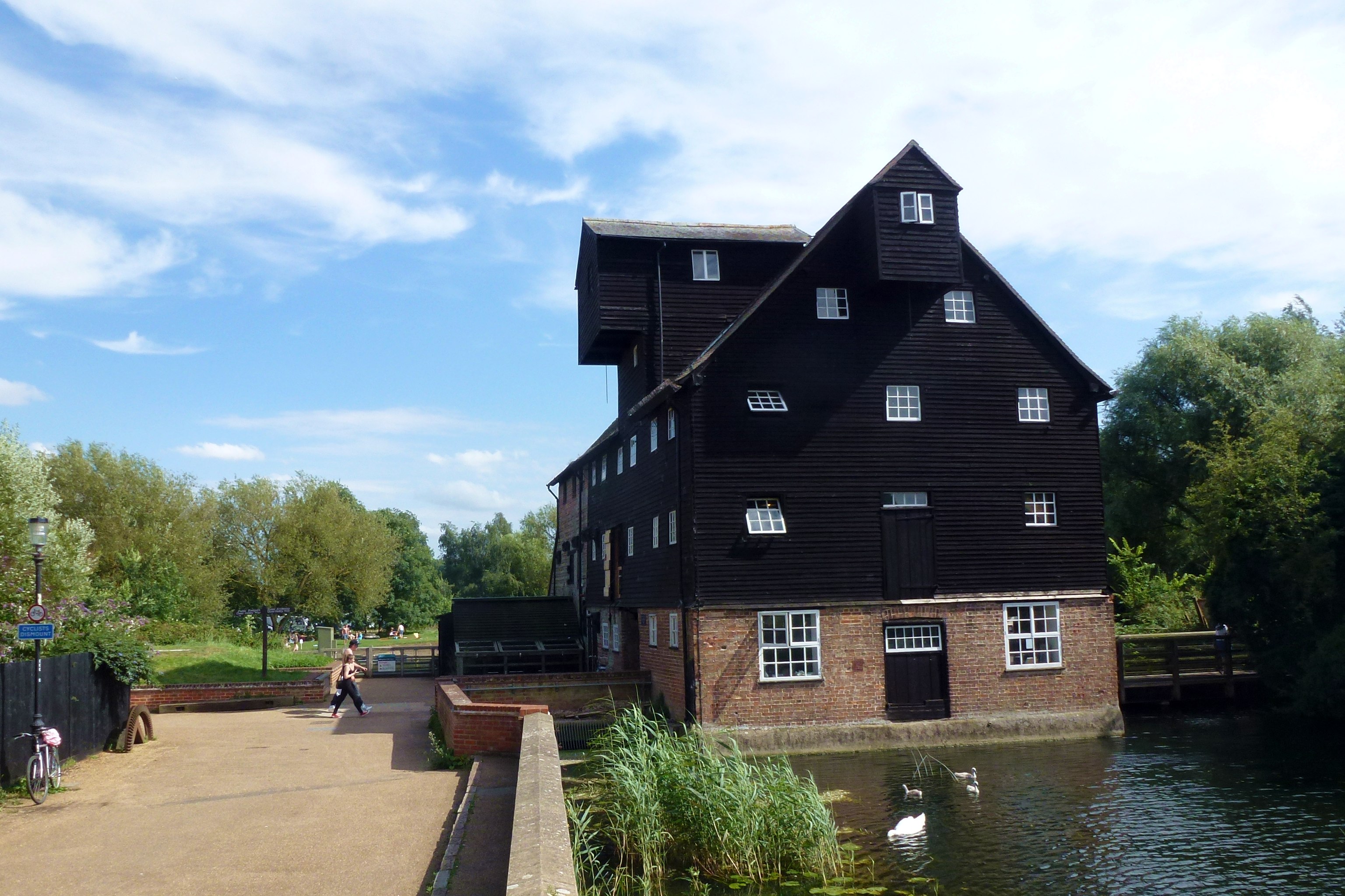
Houghton Mill is a historic water mill located in the picturesque village of Houghton, Huntingdonshire, England. Situated on the banks of the River Great Ouse, this well-preserved mill is a designated heritage site that offers visitors a unique glimpse into the region's agricultural and industrial past.
Dating back to the 17th century, Houghton Mill stands as a testament to the importance of milling in the local economy. The mill is constructed of timber and features a traditional thatched roof, which adds to its charm and historical significance. The waterwheel, which is still fully operational, harnesses the power of the river to turn the millstones and grind wheat into flour.
Visitors to Houghton Mill can explore the various levels of the building, including the working machinery room, where they can see the waterwheel in action. The mill is also home to a small exhibition that showcases the tools and techniques used in milling throughout history. Knowledgeable guides are available to provide visitors with insights into the mill's operation and its role in the community.
The surrounding area offers picturesque views and beautiful walking trails along the river and through the nearby meadows. The mill's idyllic location, combined with its rich history and educational exhibits, make it a popular destination for locals and tourists alike. Whether one is interested in the technical aspects of milling or simply wishes to enjoy the tranquil countryside, Houghton Mill provides a captivating experience for all.
If you have any feedback on the listing, please let us know in the comments section below.
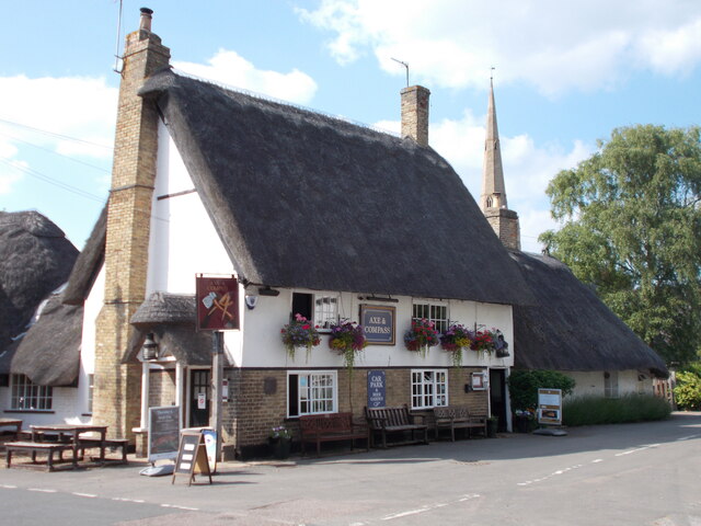
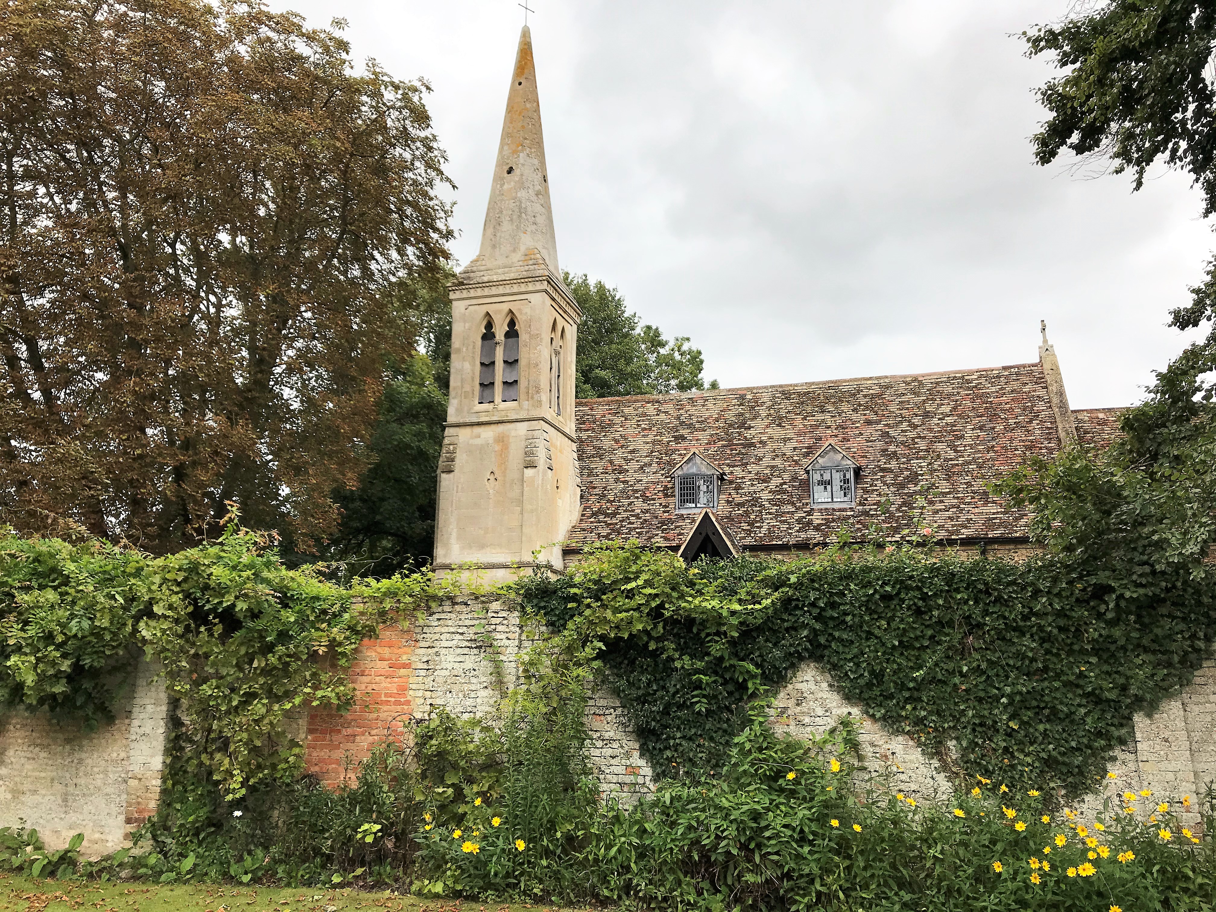
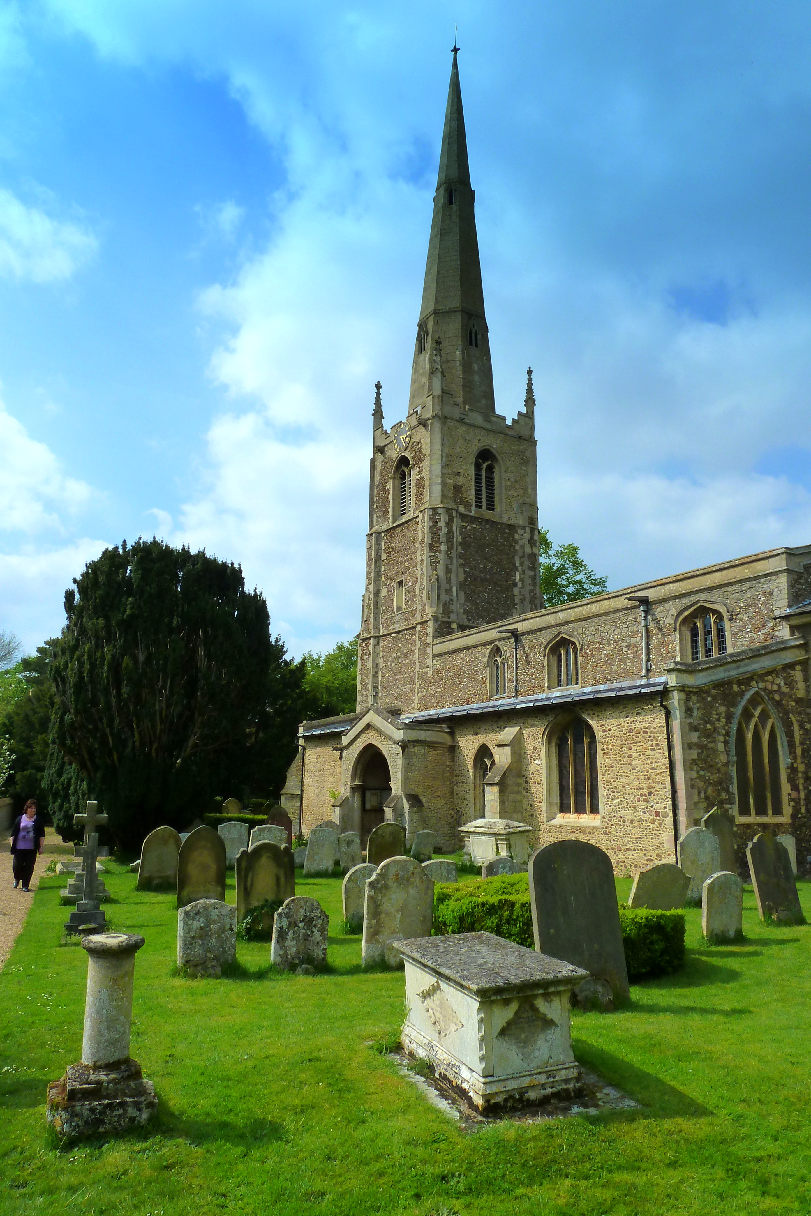
Houghton Mill Images
Images are sourced within 2km of 52.331/-0.12 or Grid Reference TL2871. Thanks to Geograph Open Source API. All images are credited.


Houghton Mill is located at Grid Ref: TL2871 (Lat: 52.331, Lng: -0.12)
Administrative County: Cambridgeshire
District: Huntingdonshire
Police Authority: Cambridgeshire
What 3 Words
///sunbeam.handfuls.nerve. Near Houghton, Cambridgeshire
Nearby Locations
Related Wikis
Houghton Mill
Houghton Mill is a water mill located on the Great Ouse in the village of Houghton, Cambridgeshire, England. It is a National Trust property and a Grade...

Houghton, Cambridgeshire
Houghton is a village and former civil parish, now in the parish of Houghton and Wyton, in Cambridgeshire, England, approximately 3 miles (5 km) east...
Wyton, Cambridgeshire
Wyton is a village and former civil parish, now in the parish of Houghton and Wyton, in Cambridgeshire, England. It lies approximately 2 miles (3 km) east...
St Margaret's Church, Hemingford Abbots
St Margaret's Church, in Hemingford Abbots is a Church of England church, dedicated to Saint Margaret of Antioch. A church has stood on the site since...
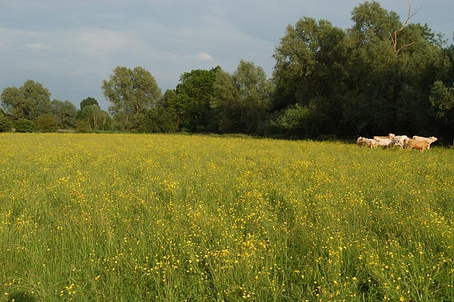
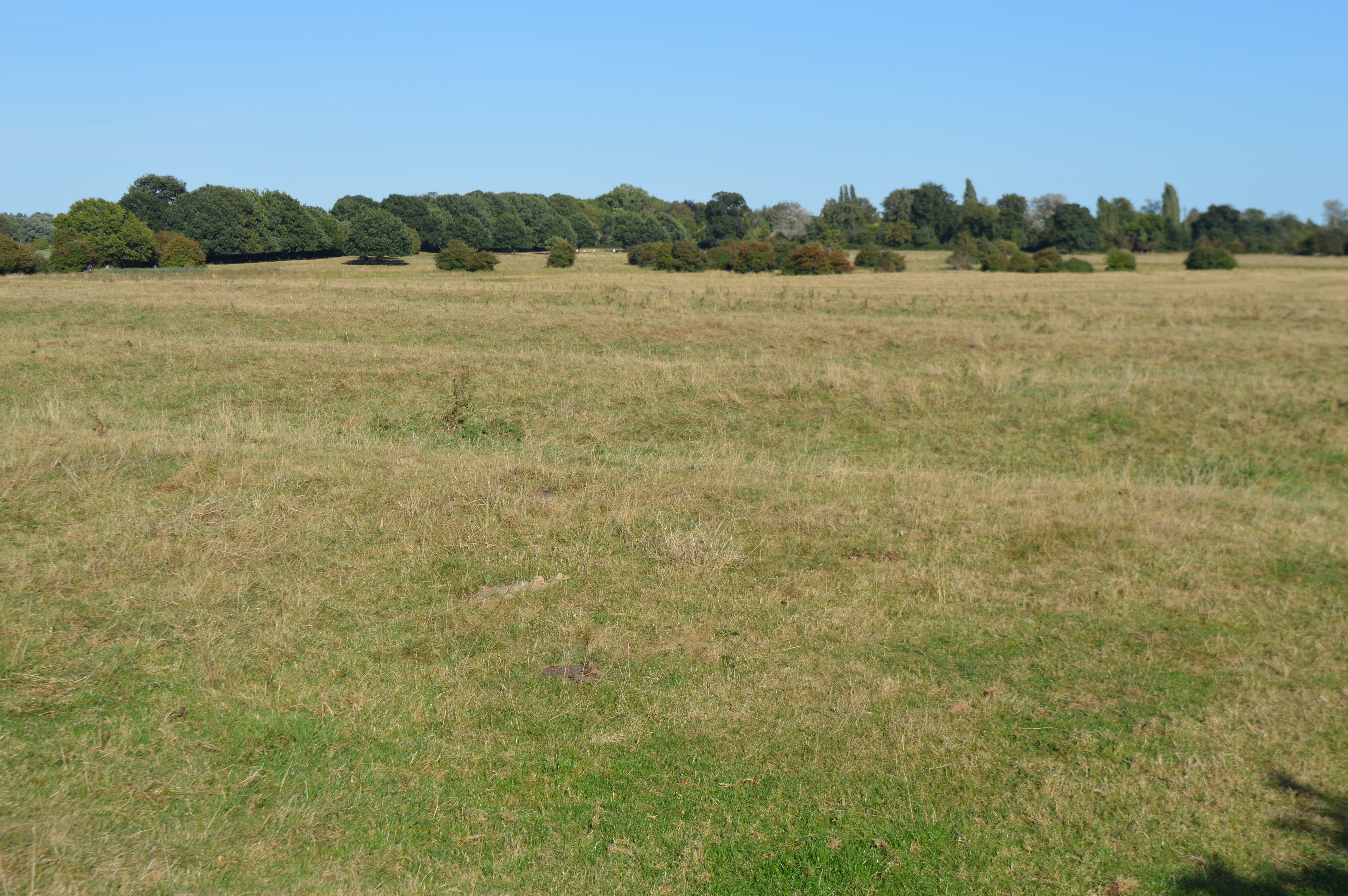
Houghton Meadows
Houghton Meadows is a 4.7-hectare (12-acre) biological Site of Special Scientific Interest (SSSI) between Houghton and St Ives in Cambridgeshire. The SSSI...
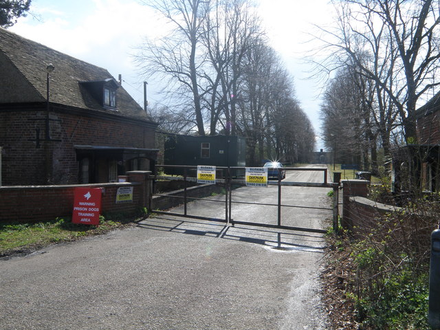
Houghton Poultry Research Station
The Houghton Poultry Research Station was a poultry disease research station in northern Cambridgeshire. By the 1970s, the site was the largest centre...
Godmanchester Eastside Common
Godmanchester Eastside Common is a 29.7-hectare (73-acre) biological Site of Special Scientific Interest east of Godmanchester in Cambridgeshire. The site...
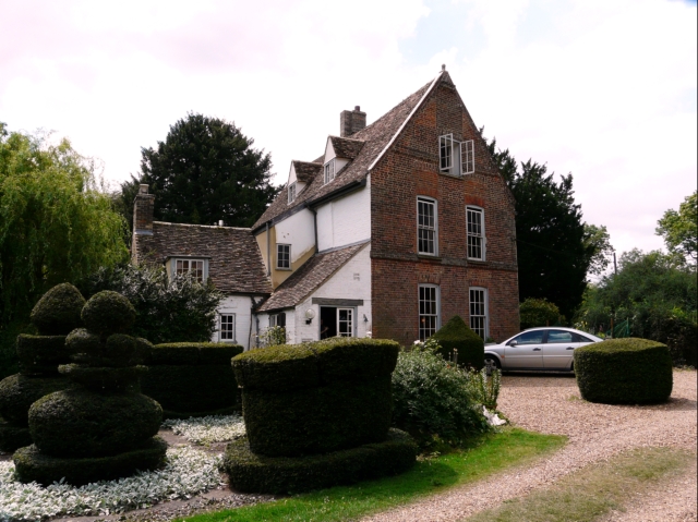
The Manor (Cambridgeshire)
The Manor is a house in the village of Hemingford Grey, Cambridgeshire. It was built in the 1130s and is one of the oldest continuously inhabited houses...
Nearby Amenities
Located within 500m of 52.331,-0.12Have you been to Houghton Mill?
Leave your review of Houghton Mill below (or comments, questions and feedback).