Houghton Meadow

Downs, Moorland in Huntingdonshire Huntingdonshire

England

Houghton Meadow

Houghton Mill near Huntingdon This is the view, looking west. At this time the mill was a very popular youth hostel as well as a National Trust property. That arrangement ceased in 1982.

The image has been scanned with some difficulty from an underexposed Gratispool transparency from summer 1965.
Houghton Mill near Huntingdon Credit: Roger D Kidd

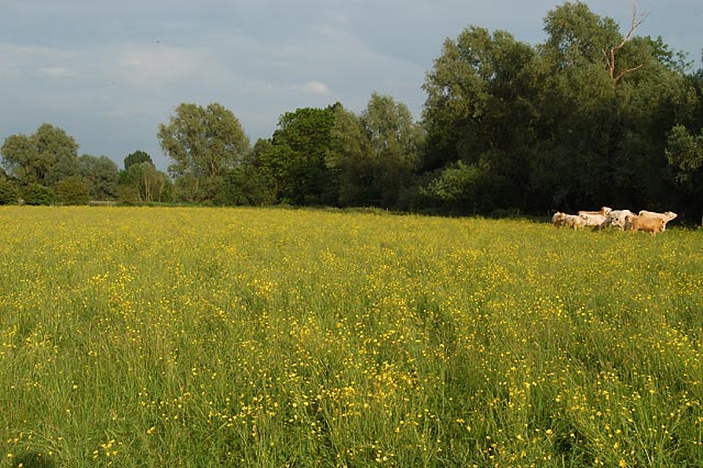
Houghton Meadow is a picturesque natural landscape located in Huntingdonshire, within the county of Cambridgeshire, England. This expansive meadow encompasses an area of lush greenery and diverse wildlife, offering a serene retreat for nature enthusiasts and outdoor enthusiasts alike.

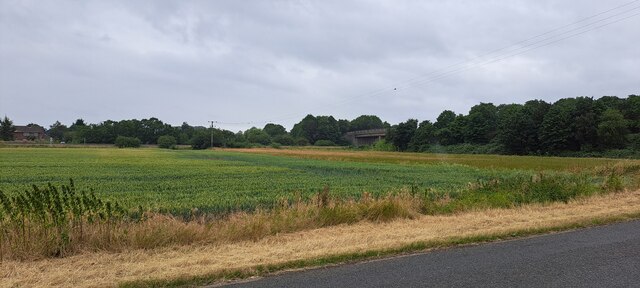
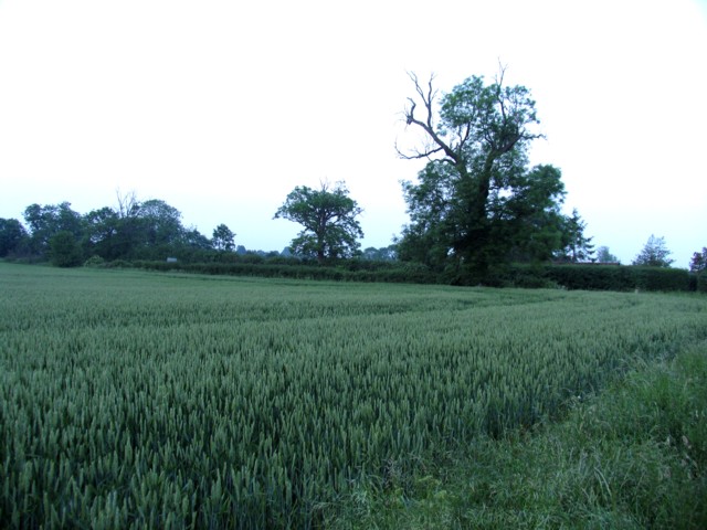
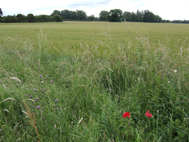
The meadow is characterized by its gently rolling downs and picturesque moorland, creating a varied terrain that is ideal for exploring and leisure activities. The area is adorned with a rich tapestry of vibrant wildflowers, including buttercups, clover, and daisies, which add a burst of color to the landscape during the spring and summer months.

Houghton Meadow is home to a diverse array of local fauna, providing a haven for wildlife enthusiasts and bird watchers. Visitors can catch glimpses of various bird species, such as skylarks, lapwings, and kestrels, soaring through the sky. The meadow is also frequented by small mammals, including rabbits and hares, which can be spotted darting through the fields.

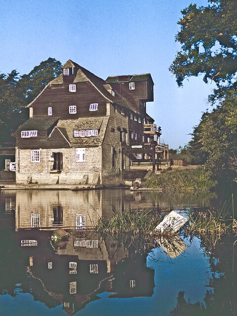
The meadow offers several walking trails and footpaths, allowing visitors to explore the area at their own pace. These trails provide stunning views of the surrounding countryside, including the nearby Houghton Mill and the River Great Ouse, which winds its way through the region.

Houghton Meadow is a cherished natural gem, offering a tranquil escape from the hustle and bustle of everyday life. Whether it be for a leisurely stroll, a picnic amidst the wildflowers, or simply to appreciate the beauty of nature, this idyllic meadow is a must-visit destination in Huntingdonshire.

If you have any feedback on the listing, please let us know in the comments section below.

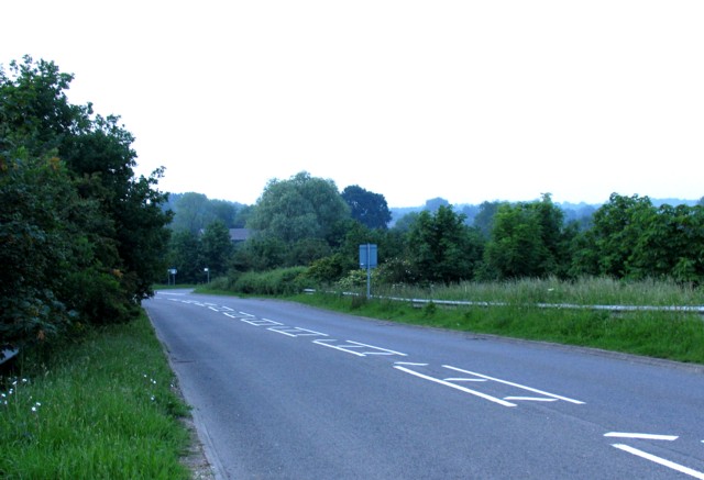
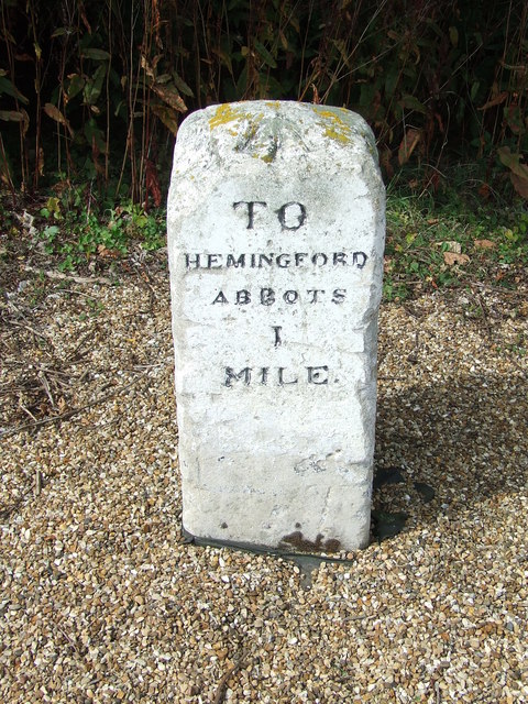
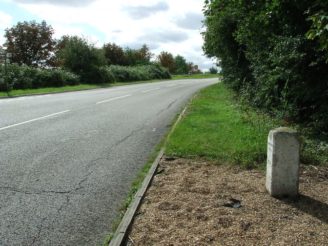
Houghton Meadow Images

Images are sourced within 2km of 52.324225/-0.10947083 or Grid Reference TL2871. Thanks to Geograph Open Source API. All images are credited.

Houghton Mill near Huntingdon This is the view, looking west. At this time the mill was a very popular youth hostel as well as a National Trust property. That arrangement ceased in 1982.

The image has been scanned with some difficulty from an underexposed Gratispool transparency from summer 1965.
Houghton Mill near Huntingdon
This is the view, looking west. At this time the mill was a very popular youth hostel as well as a National Trust property. That arrangement ceased in 1982. The image has been scanned with some difficulty from an underexposed Gratispool transparency from summer 1965.
View towards the A1307 south of Hemingford Abbots
Junction with New Road
Field alongside New Road
Rideaway from the A14 overbridge
Barley field Between Hemingford Grey and the A14. Galley Hill Farm is in amongst the trees in the distance.
Barley field
Between Hemingford Grey and the A14. Galley Hill Farm is in amongst the trees in the distance.
Old Milestone Old milestone near to Hemingford Abbots, Cambridgeshire. For overall view see <a title="https://www.geograph.org.uk/photo/1461091" href="https://www.geograph.org.uk/photo/1461091">Link</a>
Old Milestone
Old milestone near to Hemingford Abbots, Cambridgeshire. For overall view see Link
Old Milestone Old milestone near to Hemingford Abbots, Cambridgeshire. For close up view see <a title="https://www.geograph.org.uk/photo/1461085" href="https://www.geograph.org.uk/photo/1461085">Link</a>
Old Milestone
Old milestone near to Hemingford Abbots, Cambridgeshire. For close up view see Link
The busy A14 trunk road Consultation is currently (late 2009) taking place to widen the A14 between Ellington and Fen Ditton.
The busy A14 trunk road
Consultation is currently (late 2009) taking place to widen the A14 between Ellington and Fen Ditton.
Turn off for Hemingford Grey from A14
A14 Hemingford Abbots services
A14 turn near Gore Tree Farm
Looking north from A14
Thatch Craftsmanship at Rectory Farm Appreciation of this beautiful thatched roof is somewhat marred by the cottage's position right next to the A14, which is a murderously busy dual carriageway (on the line of a Roman Road). This section of the A14 will soon be bypassed and hopefully the existing road will become a lot quieter.
Thatch Craftsmanship at Rectory Farm
Appreciation of this beautiful thatched roof is somewhat marred by the cottage's position right next to the A14, which is a murderously busy dual carriageway (on the line of a Roman Road). This section of the A14 will soon be bypassed and hopefully the existing road will become a lot quieter.
Old Milestone by Goretree Road, Hemingford Grey Parish Carved stone post by the UC road, in parish of HEMINGFORD GREY (HUNTINGDONSHIRE District), Goretree Road, just North of junction with A14, on the verge, on West side of road. Erected by an unknown authority in the 19th century. 

Inscription reads:-
TO
HEMINGFORD
GREY
1
MILE  
Carved benchmark on top.  

Milestone Society National ID: HU_HG01.
Old Milestone by Goretree Road, Hemingford Grey Parish
Carved stone post by the UC road, in parish of HEMINGFORD GREY (HUNTINGDONSHIRE District), Goretree Road, just North of junction with A14, on the verge, on West side of road. Erected by an unknown authority in the 19th century. Inscription reads:- TO HEMINGFORD GREY 1 MILE Carved benchmark on top. Milestone Society National ID: HU_HG01.
Old Milestone north of the A1307, Hemingford Abbotts Parish Carved stone post by the UC road, in parish of HEMINGFORD ABBOTS (HUNTINGDONSHIRE District), South of Ridgeway Farm, at junction with new UC road leading from and to the newly dualled A14, on the verge, on West side of road. Stone relocated from its original position by the A14 when that road was upgraded. Originally erected by an unknown authority in the 19th century. 

Inscription reads:-
TO
HEMINGFORD
ABBOTS
1
MILE 
Carved benchmark on top.

Cambridgeshire HER listed
CHER Number: MCB18317 <span class="nowrap"><a title="https://www.heritagegateway.org.uk/Gateway/Results_Single.aspx?uid=MCB18317&resourceID=1000" rel="nofollow ugc noopener" href="https://www.heritagegateway.org.uk/Gateway/Results_Single.aspx?uid=MCB18317&resourceID=1000">Link</a><img style="margin-left:2px;" alt="External link" title="External link - shift click to open in new window" src="https://s1.geograph.org.uk/img/external.png" width="10" height="10"/></span>

Milestone Society National ID: HU_HA01.
Old Milestone north of the A1307, Hemingford Abbotts Parish
Carved stone post by the UC road, in parish of HEMINGFORD ABBOTS (HUNTINGDONSHIRE District), South of Ridgeway Farm, at junction with new UC road leading from and to the newly dualled A14, on the verge, on West side of road. Stone relocated from its original position by the A14 when that road was upgraded. Originally erected by an unknown authority in the 19th century. Inscription reads:- TO HEMINGFORD ABBOTS 1 MILE Carved benchmark on top. Cambridgeshire HER listed CHER Number: MCB18317 LinkExternal link Milestone Society National ID: HU_HA01.
A14 eastbound - Rideaway Bridge A minor road connecting Hemingford Abbots to the westbound A14.
A14 eastbound - Rideaway Bridge
A minor road connecting Hemingford Abbots to the westbound A14.
A14 eastbound The bridge is for a public bridleway, but probably also for private farm access from Gore Tree Lane.
A14 eastbound
The bridge is for a public bridleway, but probably also for private farm access from Gore Tree Lane.
Show me another place!

Houghton Meadow is located at Grid Ref: TL2871 (Lat: 52.324225, Lng: -0.10947083)

Administrative County: Cambridgeshire

District: Huntingdonshire

Police Authority: Cambridgeshire

What 3 Words

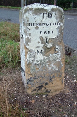
///rank.months.linked. Near Hemingford Grey, Cambridgeshire

Related Wikis

Houghton Meadows

Houghton Meadows is a 4.7-hectare (12-acre) biological Site of Special Scientific Interest (SSSI) between Houghton and St Ives in Cambridgeshire. The SSSI...

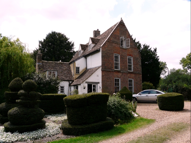
The Manor (Cambridgeshire)

The Manor is a house in the village of Hemingford Grey, Cambridgeshire. It was built in the 1130s and is one of the oldest continuously inhabited houses...

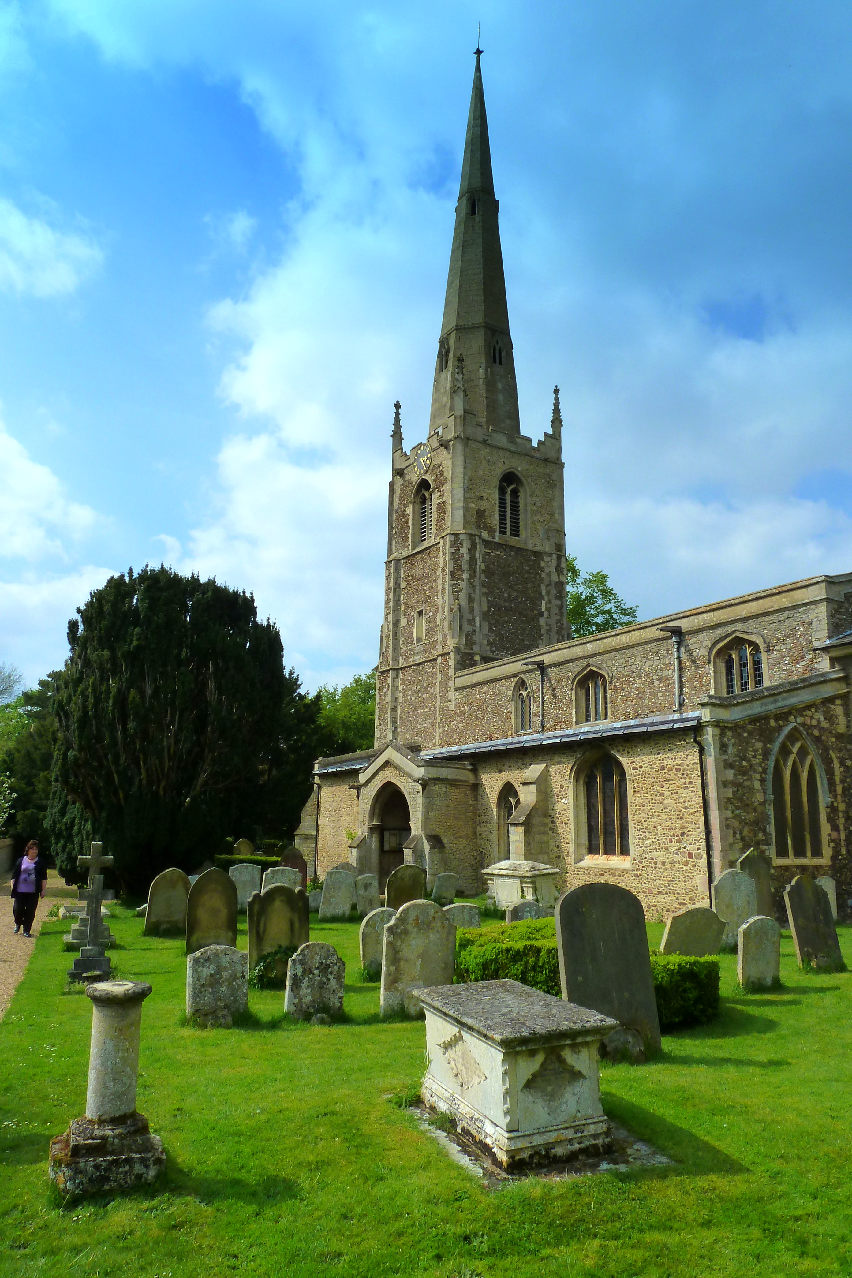
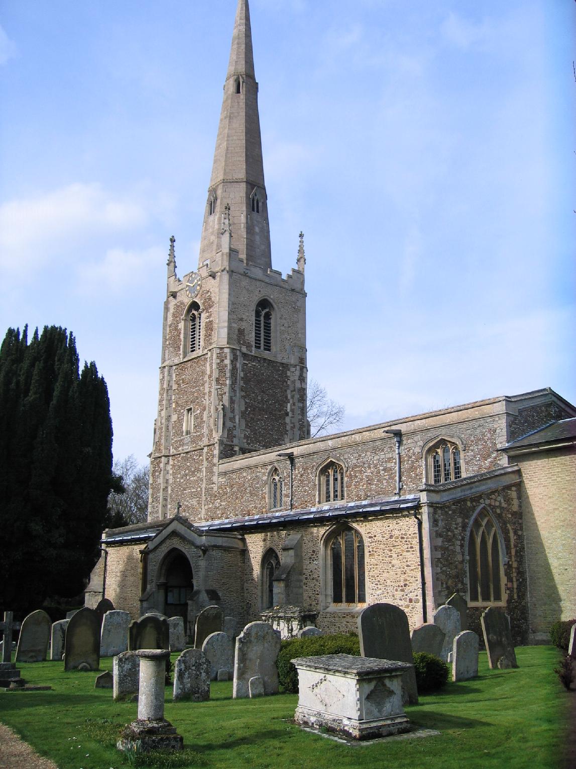
St Margaret's Church, Hemingford Abbots

St Margaret's Church, in Hemingford Abbots is a Church of England church, dedicated to Saint Margaret of Antioch. A church has stood on the site since...

Hemingford Grey

Hemingford Grey is a village and civil parish in Cambridgeshire, England. Hemingford Grey lies approximately 4 miles (6 km) east of Huntingdon. Hemingford...
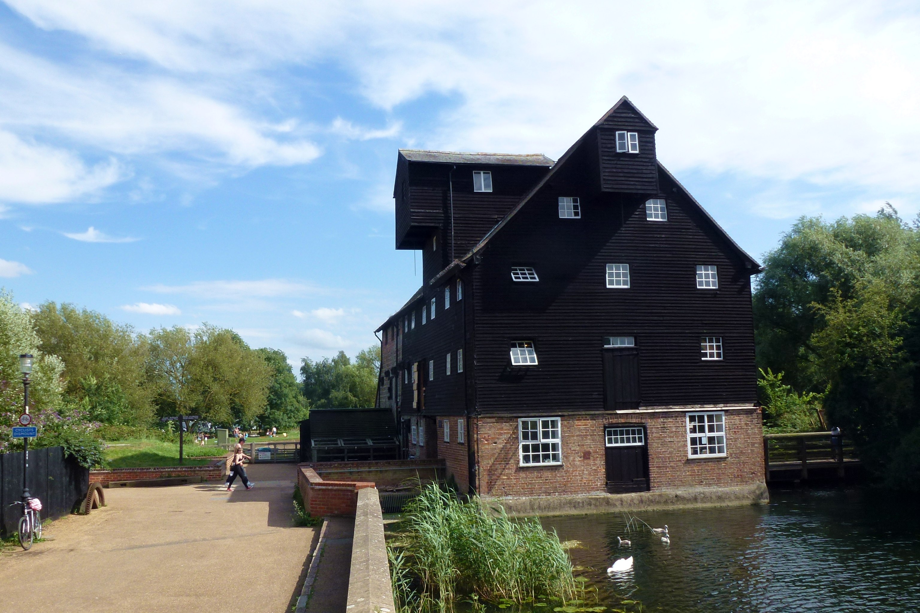
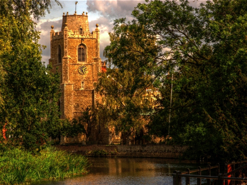
Houghton Mill

Houghton Mill is a water mill located on the Great Ouse in the village of Houghton, Cambridgeshire, England. It is a National Trust property and a Grade...
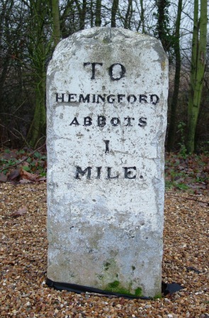
Hemingford Abbots

Hemingford Abbots is a village and civil parish in Cambridgeshire, England. Hemingford Abbots lies approximately 3 miles (5 km) east of Huntingdon, and...

Houghton Poultry Research Station

The Houghton Poultry Research Station was a poultry disease research station in northern Cambridgeshire. By the 1970s, the site was the largest centre...

Houghton, Cambridgeshire

Houghton is a village and former civil parish, now in the parish of Houghton and Wyton, in Cambridgeshire, England, approximately 3 miles (5 km) east...

Nearby Amenities

Located within 500m of 52.324225,-0.10947083
Waterway: weir
Lat/Long: 52.3211896/-0.1121409
Power: pole
Lat/Long: 52.3233336/-0.109627
Power: pole
Lat/Long: 52.324196/-0.1090047
Power: pole
Lat/Long: 52.3250746/-0.10835
Power: pole
Lat/Long: 52.3279598/-0.10621
Power: pole
Lat/Long: 52.3269963/-0.1069213
Power: pole
Lat/Long: 52.326596/-0.1072479
Power: pole
Lat/Long: 52.325966/-0.1076703
Power: pole
Lat/Long: 52.3214911/-0.1109786
Power: pole
Lat/Long: 52.3224615/-0.1102922
Power: pole
Lat/Long: 52.325203/-0.1166013
Power: pole
Lat/Long: 52.3245602/-0.1156354
Power: pole
Lat/Long: 52.3284366/-0.1098051
Power: pole
Lat/Long: 52.3272576/-0.1080987
Power: pole
Lat/Long: 52.3232356/-0.1135865
Power: pole
Lat/Long: 52.3226291/-0.112626
Power: pole
Lat/Long: 52.3238979/-0.1146108
Power: pole
Lat/Long: 52.3220454/-0.1116792
Barrier: kissing_gate
Lat/Long: 52.3206605/-0.1127487
Barrier: kissing_gate
Lat/Long: 52.3209643/-0.1137491
Barrier: stile
Lat/Long: 52.3213542/-0.1116817
Power: pole
Lat/Long: 52.3276172/-0.1093296
Barrier: yes
Lat/Long: 52.321317/-0.1120913
Barrier: yes
Lat/Long: 52.3210801/-0.1121758
Bench
Backrest: yes
Material: wood
Lat/Long: 52.3208083/-0.1053908
Bench
Backrest: yes
Material: wood
Lat/Long: 52.3206151/-0.1054865
Bench
Backrest: yes
Material: wood
Lat/Long: 52.320571/-0.1054971
Bench
Backrest: yes
Material: wood
Lat/Long: 52.3205306/-0.1055152
Bench
Backrest: yes
Material: wood
Lat/Long: 52.320445/-0.1055492
Bench
Backrest: yes
Material: wood
Lat/Long: 52.3204597/-0.1054737
Barrier: yes
Boat: no
Lat/Long: 52.3211857/-0.1124619
The data included in this document is from www.openstreetmap.org. The data is made available under ODbL.

Have you been to Houghton Meadow?

Leave your review of Houghton Meadow below (or comments, questions and feedback).