Broad Water Island
Island in Hertfordshire East Hertfordshire
England
Broad Water Island
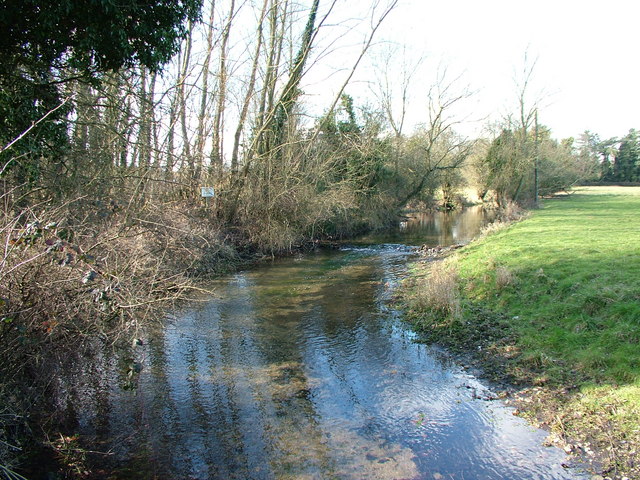
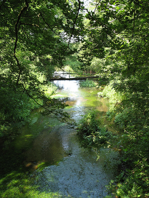
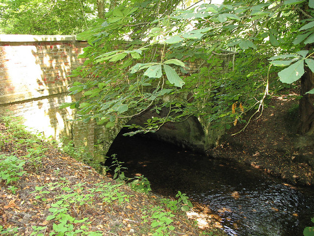
Broad Water Island is a man-made island located in Hertfordshire, England. Situated on the River Lea, the island was created as part of the Lee Valley Regional Park, a popular recreational area spanning across London, Essex, and Hertfordshire. The island covers an area of approximately 80 hectares and is surrounded by the tranquil waters of the River Lea Navigation.
Originally constructed in the 1960s, Broad Water Island was designed as a water storage reservoir to regulate the water levels in the surrounding area. It consists of three interconnected reservoirs, namely King's Mead, Seventy Acres, and Holyfield Marsh. The reservoirs play a crucial role in managing flood risk and maintaining water supply in the region.
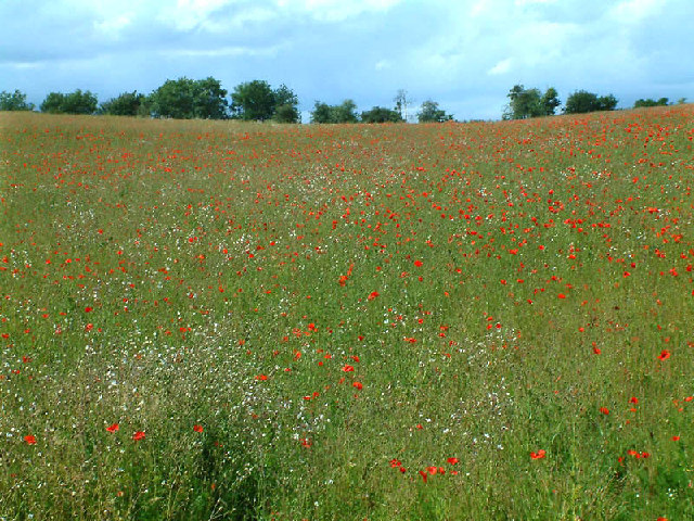
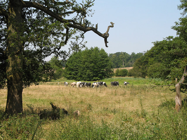
The island is renowned for its rich biodiversity and serves as an important habitat for various bird species, including herons, cormorants, and kingfishers. It is also home to a diverse range of flora and fauna, with numerous species of plants and insects thriving in the wetland environment.
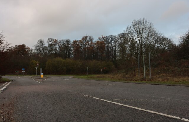
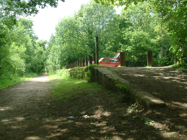
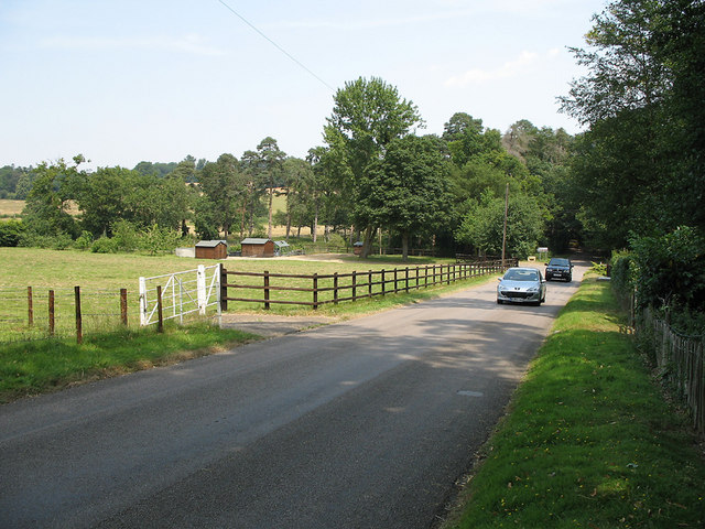
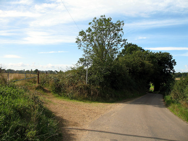
Visitors to Broad Water Island can enjoy a range of recreational activities, such as fishing, birdwatching, and walking along the designated footpaths. The island offers picturesque views of the surrounding countryside and provides a peaceful escape from the bustling city life.
Overall, Broad Water Island is a unique and environmentally significant location within Hertfordshire. Its creation as a water storage facility has not only contributed to the management of water resources in the region but has also provided a valuable natural habitat for wildlife and a tranquil retreat for visitors.
If you have any feedback on the listing, please let us know in the comments section below.
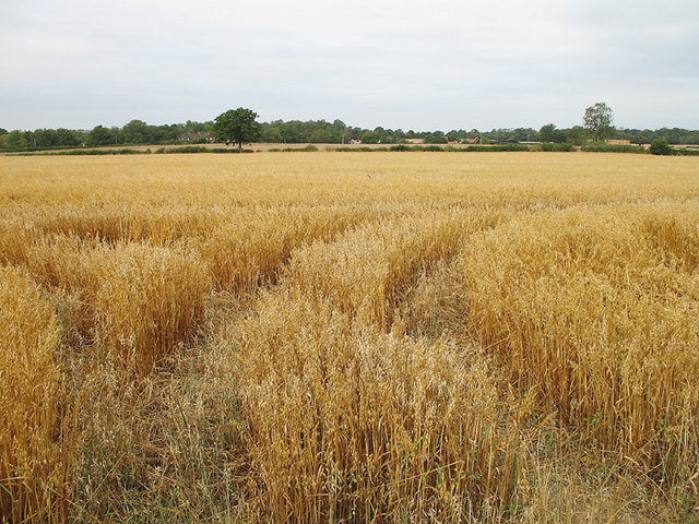
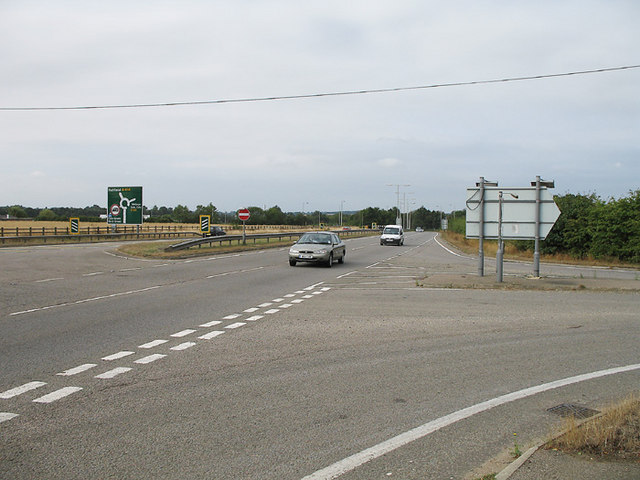
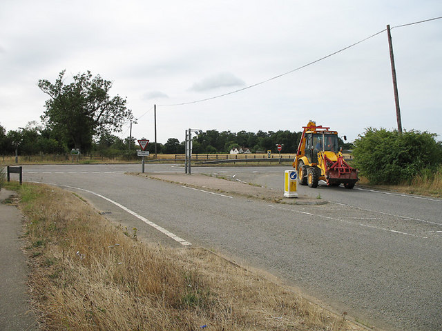
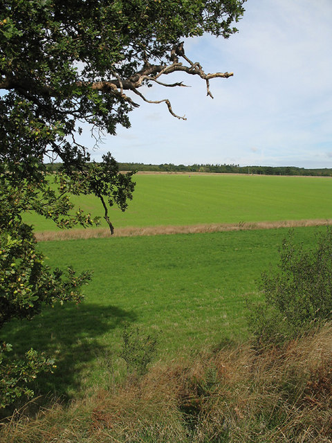
Broad Water Island Images
Images are sourced within 2km of 51.799822/-0.1380714 or Grid Reference TL2812. Thanks to Geograph Open Source API. All images are credited.

Broad Water Island is located at Grid Ref: TL2812 (Lat: 51.799822, Lng: -0.1380714)
Administrative County: Hertfordshire
District: East Hertfordshire
Police Authority: Hertfordshire
What 3 Words
///retail.guilty.bring. Near Hertford, Hertfordshire
Nearby Locations
Related Wikis

Pishiobury
Pishiobury, sometimes spelled Pishobury, was a manor and estate in medieval Sawbridgeworth, Hertfordshire. Its denomination as "Pishiobury" only emerged...

Panshanger
Panshanger was a large country house located between the outer edge of Hertford and Welwyn Garden City in Hertfordshire, England. == History == Earl Cowper...
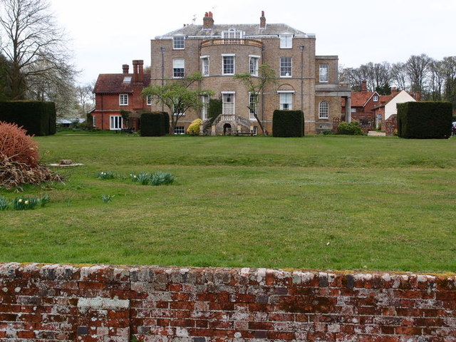
Marden Hill
Marden Hill is a Grade II* listed country house close to the village of Tewin, Hertfordshire.The house, originally Jacobean but substantially rebuilt in...

Cole Green, Hertfordshire
Cole Green is a hamlet in Hertfordshire, England. It is 1 mile (1.6 km) south-east of Welwyn Garden City just off the A414. It is in the Hertingfordbury...

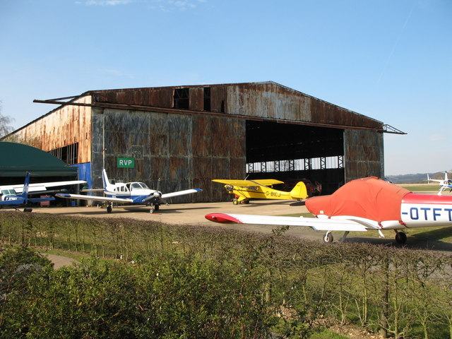
Panshanger Aerodrome
Panshanger Aerodrome (ICAO: EGLG) was a former general aviation aerodrome located on the most eastern tip of Welwyn Garden City, Hertfordshire, England...
Cole Green railway station
Cole Green railway station was a station at Cole Green, Hertfordshire, England, on the Hertford and Welwyn Junction Railway. It was a passenger station...

Letty Green
Letty Green is a village in the parish of Hertingfordbury, Hertfordshire, England. St John’s Church, Letty Green, the deconsecrated former parish church...

St John's Church, Letty Green
St John's Church, Letty Green, is a deconsecrated Gothic Revival church in Letty Green, Hertfordshire, England. The building was designed by George Fowler...
Nearby Amenities
Located within 500m of 51.799822,-0.1380714Have you been to Broad Water Island?
Leave your review of Broad Water Island below (or comments, questions and feedback).