Duck Island
Island in Middlesex
England
Duck Island
Duck Island is a small, picturesque island located in Middlesex County, Massachusetts. Situated in the middle of the Mystic River, this island is a popular destination for nature enthusiasts and birdwatchers. The island spans approximately 2.5 acres and is accessible by boat or kayak.
As its name suggests, Duck Island is known for its abundant waterfowl population. Ducks of various species, including mallards, wood ducks, and Canada geese, can be observed in their natural habitat, making it a haven for bird lovers. The island's tranquil surroundings and lush vegetation provide an ideal breeding ground for these waterfowl.
Aside from its avian residents, Duck Island offers a serene escape from the bustling city life. The island is covered in a mix of tall grasses, shrubs, and trees, providing a peaceful setting for visitors to relax and unwind. The dense vegetation also serves as a habitat for other wildlife species, such as turtles, frogs, and small mammals.
The island's location in the Mystic River makes it an excellent spot for boating and fishing. Anglers can cast their lines from the shores of Duck Island, hoping to catch various fish species, including bass, trout, and perch. Additionally, the island's proximity to other natural attractions, such as the Middlesex Fells Reservation and the Mystic Lakes, makes it a part of a larger outdoor recreational area.
Overall, Duck Island in Middlesex County offers a unique and captivating experience for nature enthusiasts, providing a sanctuary for waterfowl and a serene retreat from urban life.
If you have any feedback on the listing, please let us know in the comments section below.
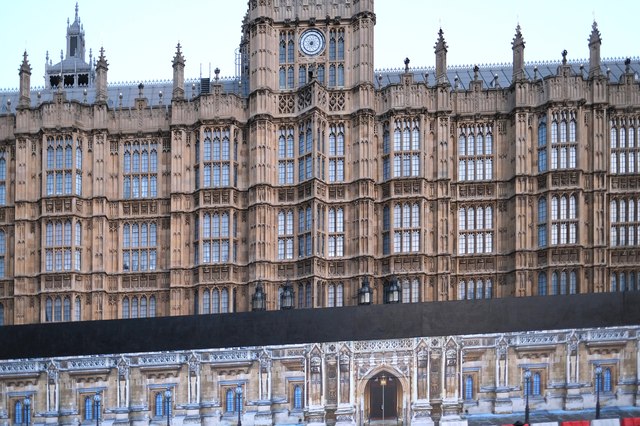
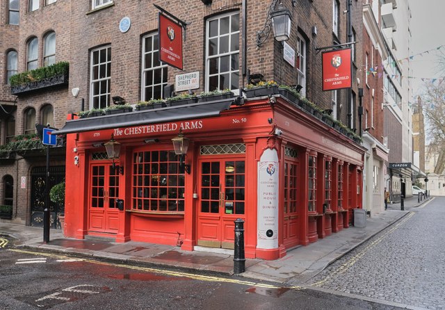
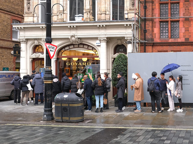
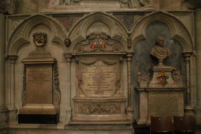
Duck Island Images
Images are sourced within 2km of 51.503152/-0.13101077 or Grid Reference TQ2979. Thanks to Geograph Open Source API. All images are credited.


Duck Island is located at Grid Ref: TQ2979 (Lat: 51.503152, Lng: -0.13101077)
Unitary Authority: Westminster
Police Authority: Metropolitan
What 3 Words
///oath.case.causes. Near London
Related Wikis

India Office
The India Office was a British government department established in London in 1858 to oversee the administration, through a Viceroy and other officials...
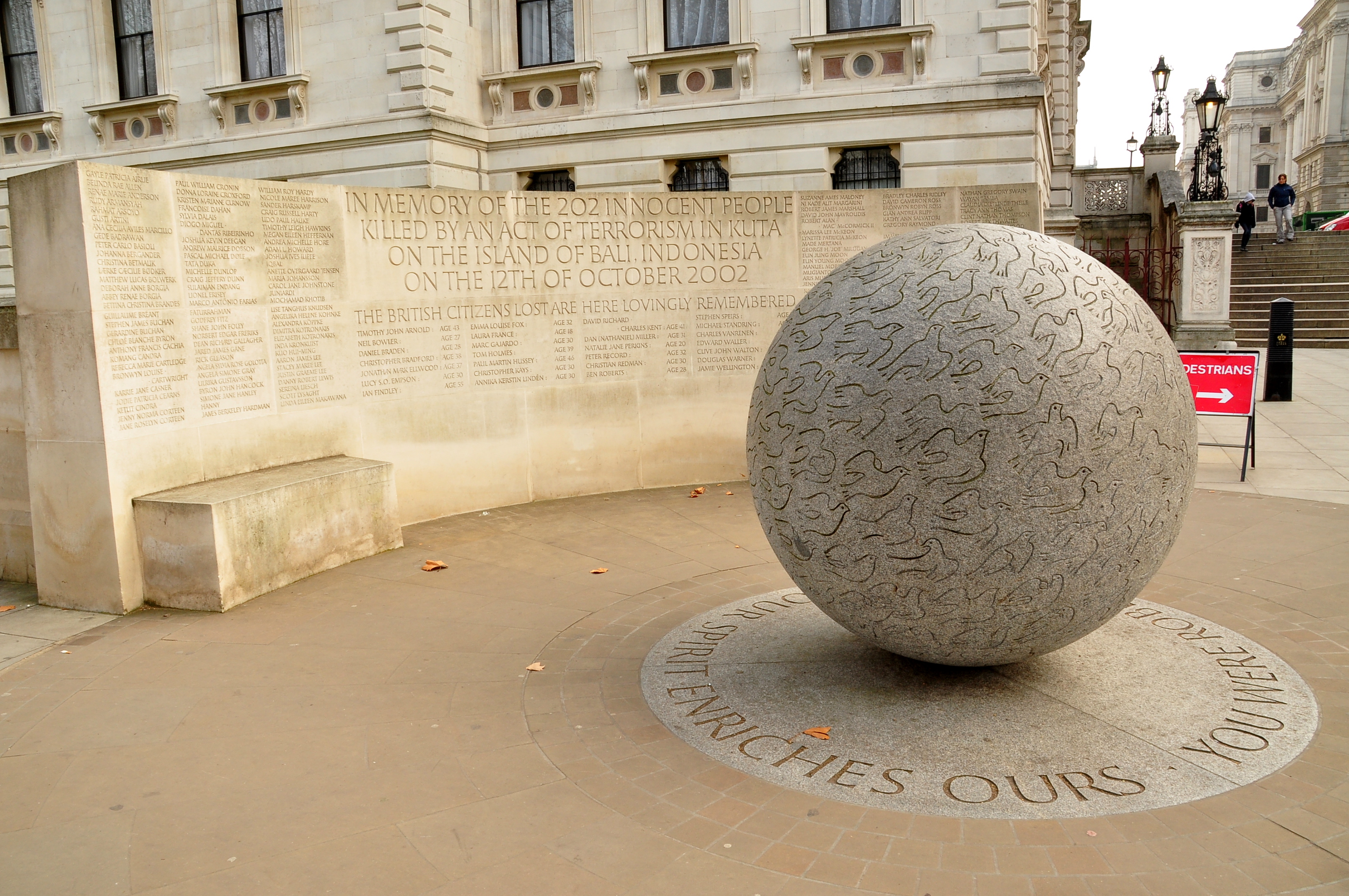
Bali Bombings Memorial, London
The Bali Bombings Memorial is a permanent memorial in central London to victims of the 2002 bombings in Bali, Indonesia. It was designed by Gary Breeze...

Horse Guards Road
Horse Guards Road (or just Horse Guards) is a road in the City of Westminster, London. Located in post code SW1A 2HQ, it runs south from The Mall down...

International Churchill Society
The International Churchill Society (ICS), formerly known as the Churchill Centre, studies the life and works of Winston Churchill. The Society's exhibits...

Statue of Robert Clive, London
A Grade II-listed bronze statue of Robert Clive, 1st Baron Clive, by John Tweed, stands in King Charles Street, Whitehall, London. The work was unveiled...

Statue of the Earl Mountbatten, London
A bronze statue of Admiral of the Fleet Louis Mountbatten, 1st Earl Mountbatten of Burma is located on Mountbatten Green, off Horse Guards Road, Whitehall...
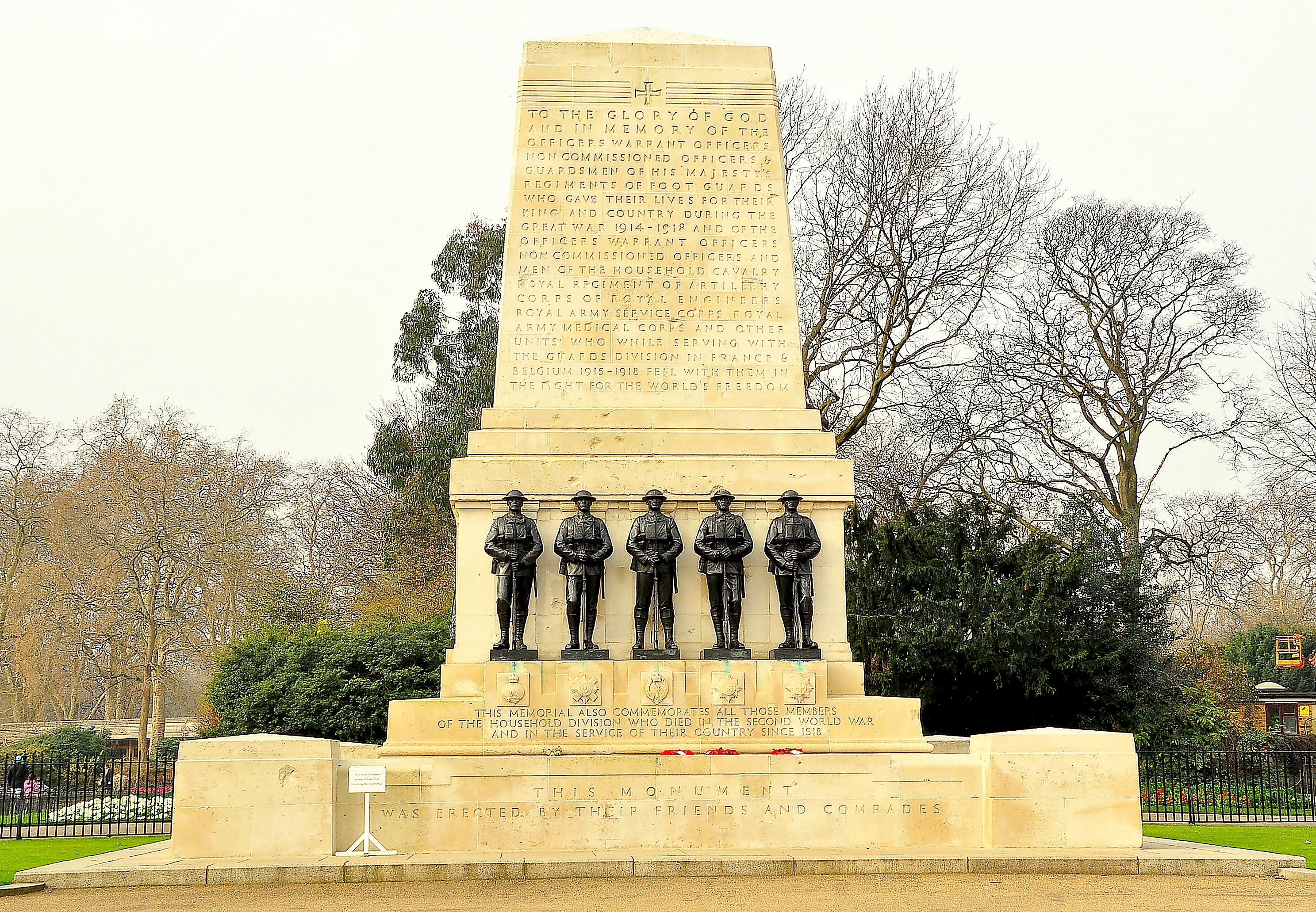
Guards Memorial
The Guards Memorial, also known as the Guards Division War Memorial, is an outdoor war memorial located on the west side of Horse Guards Road, opposite...

Churchill War Rooms
The Churchill War Rooms is a museum in London and one of the five branches of the Imperial War Museum. The museum comprises the Cabinet War Rooms, a historic...
Nearby Amenities
Located within 500m of 51.503152,-0.13101077Have you been to Duck Island?
Leave your review of Duck Island below (or comments, questions and feedback).