Stony Binks
Island in Yorkshire
England
Stony Binks
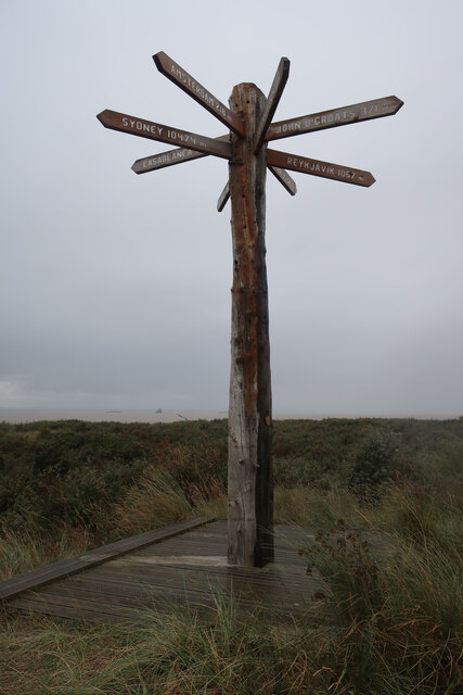
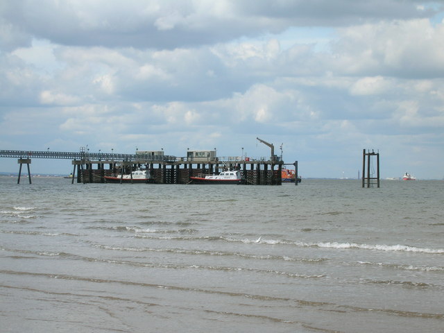
Stony Binks is a picturesque island located off the coast of Yorkshire, England. Situated in the North Sea, it is a popular tourist destination known for its natural beauty and rich history. The island is accessible via ferry from the mainland, and its tranquil atmosphere and stunning landscapes make it a haven for nature lovers and those seeking a peaceful retreat.
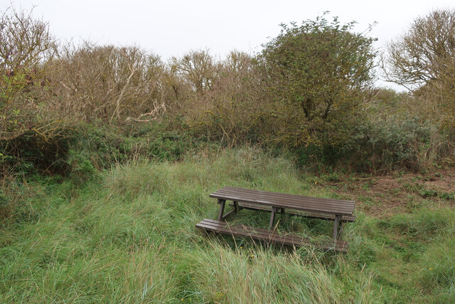
Covered in lush greenery and surrounded by rugged cliffs, Stony Binks offers breathtaking views of the coastline and the vast expanse of the sea. The island is home to a diverse range of flora and fauna, including rare bird species and wildflowers, making it an ideal spot for birdwatching and nature walks. The rugged cliffs also provide opportunities for adventurous activities like rock climbing and hiking.
Stony Binks is steeped in history, with evidence of human settlement dating back thousands of years. Visitors can explore ancient ruins, stone circles, and burial mounds, which offer fascinating insights into the island's past. The island also boasts a charming village with traditional cottages, quaint shops, and a few cozy cafes where visitors can enjoy local delicacies.
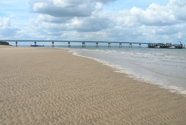
For those seeking relaxation, the island's sandy beaches provide an idyllic setting to unwind and soak up the sun. The clear waters surrounding Stony Binks are perfect for swimming, sailing, and other water sports. Additionally, the island offers various accommodations, including cozy bed and breakfasts and self-catering cottages, ensuring a comfortable stay for visitors.
Overall, Stony Binks is a hidden gem in Yorkshire, offering a unique blend of natural beauty, history, and tranquility.
If you have any feedback on the listing, please let us know in the comments section below.
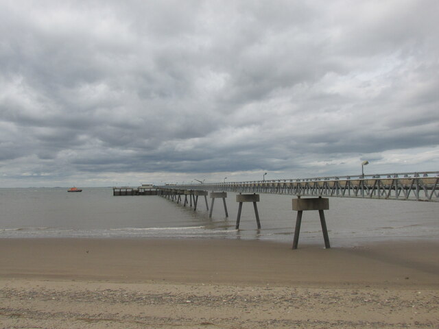
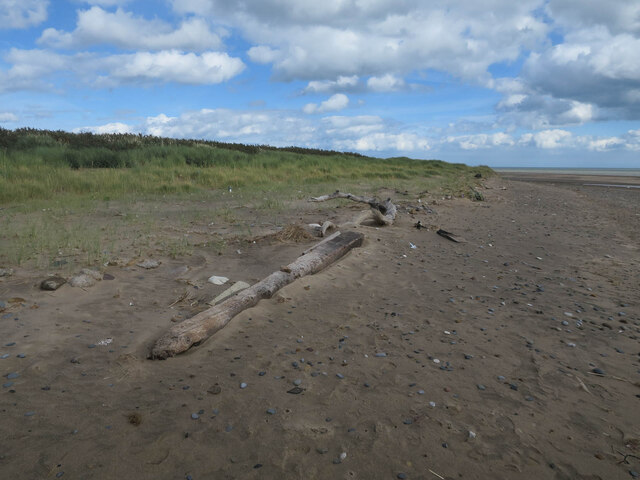
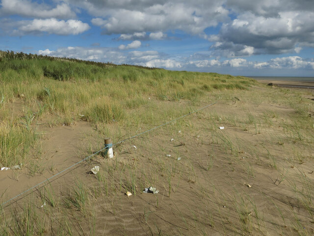
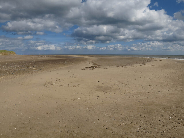
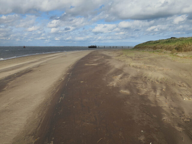
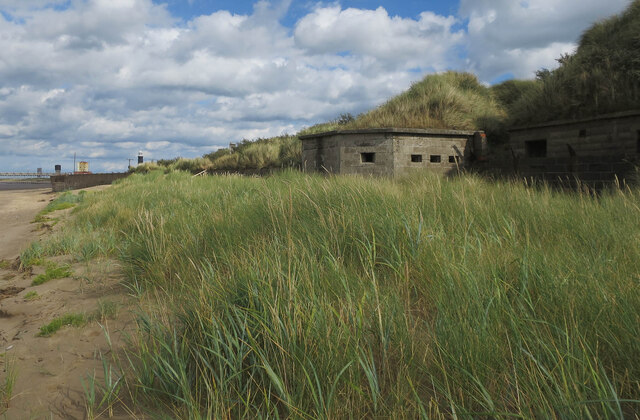
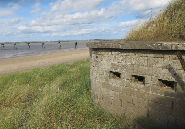
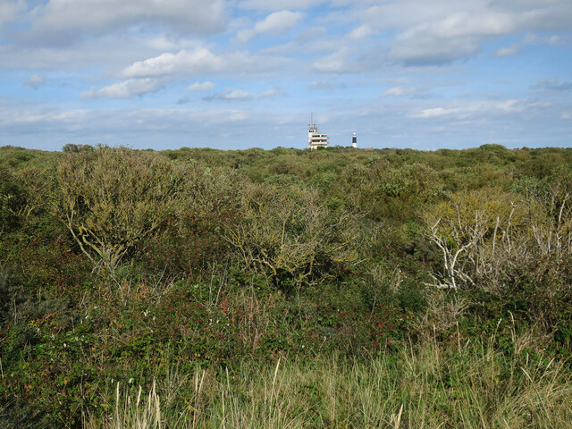
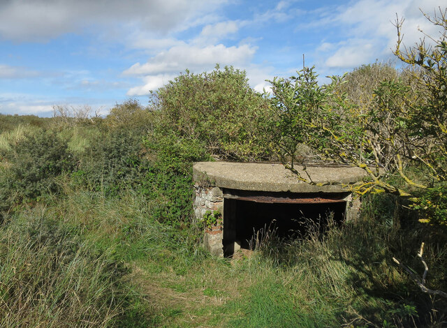
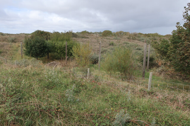
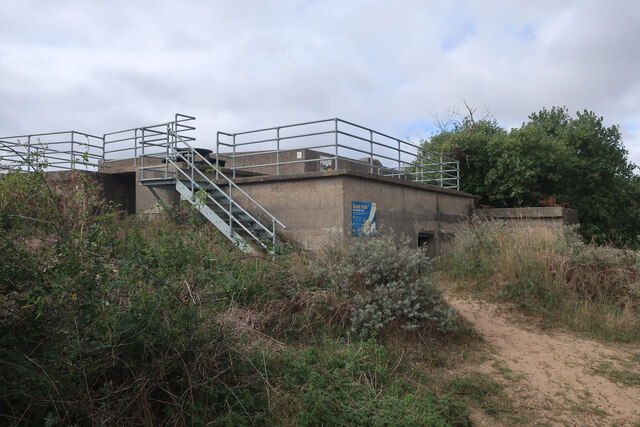
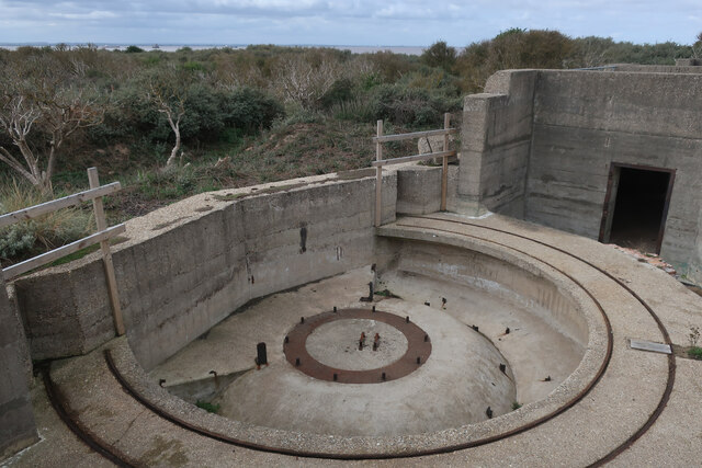
Stony Binks Images
Images are sourced within 2km of 53.570968/0.11437861 or Grid Reference TA4010. Thanks to Geograph Open Source API. All images are credited.
Stony Binks is located at Grid Ref: TA4010 (Lat: 53.570968, Lng: 0.11437861)
Division: East Riding
Unitary Authority: East Riding of Yorkshire
Police Authority: Humberside
What 3 Words
///annual.springing.tens. Near Easington, North Yorkshire
Nearby Locations
Related Wikis

Spurn
Spurn is a narrow sand tidal island located off the tip of the coast of the East Riding of Yorkshire, England that reaches into the North Sea and forms...
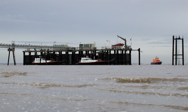
Humber Lifeboat Station
The Humber Lifeboat Station originally was located on Spurn Point in the East Riding of Yorkshire, England, but now is located in Grimsby. The station...

Ravensrodd (Parliament of England constituency)
Ravensrodd, also spelt Ravenser Odd, was a constituency of the House of Commons of the Parliament of England, first represented in the Model Parliament...

Ravenser Odd
Ravenser Odd, also spelled Ravensrodd, was a port in the East Riding of Yorkshire, England, during the medieval period, built on the sandbanks at the mouth...
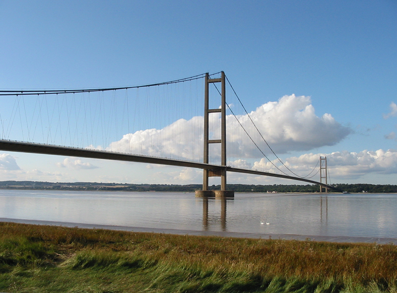
Humber
The Humber is a large tidal estuary on the east coast of Northern England. It is formed at Trent Falls, Faxfleet, by the confluence of the tidal rivers...

Spurn Point military railway
The Spurn Point military railway was a railway line in the East Riding of Yorkshire, England. It extended for 3+3⁄4 miles (6 km), connecting Kilnsea with...

Ravenspurn
Ravenspurn was a town in the East Riding of Yorkshire, England, which was lost due to coastal erosion, one of more than 30 along the Holderness Coast which...

Church of St Helen, Kilnsea
The Church of St Helen, Kilnsea, Holderness, East Riding of Yorkshire, England, is a redundant parish church dating from 1864–5. It was designed by the...
Nearby Amenities
Located within 500m of 53.570968,0.11437861Have you been to Stony Binks?
Leave your review of Stony Binks below (or comments, questions and feedback).