Old Island
Island in Yorkshire
England
Old Island

The requested URL returned error: 429 Too Many Requests
If you have any feedback on the listing, please let us know in the comments section below.
Old Island Images
Images are sourced within 2km of 53.641869/-0.08236139 or Grid Reference TA2617. Thanks to Geograph Open Source API. All images are credited.


Old Island is located at Grid Ref: TA2617 (Lat: 53.641869, Lng: -0.08236139)
Division: East Riding
Unitary Authority: East Riding of Yorkshire
Police Authority: Humberside
What 3 Words
///headset.forgives.tortoises. Near Sunk Island, East Yorkshire
Nearby Locations
Related Wikis

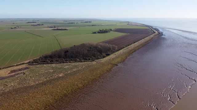
Sunk Island
Sunk Island is a Crown Estate village and civil parish in the East Riding of Yorkshire, England. It lies 3+1⁄2 miles (6 km) south of Ottringham and 1...
RAF Patrington
RAF Patrington (or Royal Air Force Patrington), was a Ground-controlled interception (GCI) station of the Royal Air Force in the East Riding of Yorkshire...
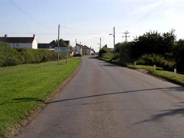
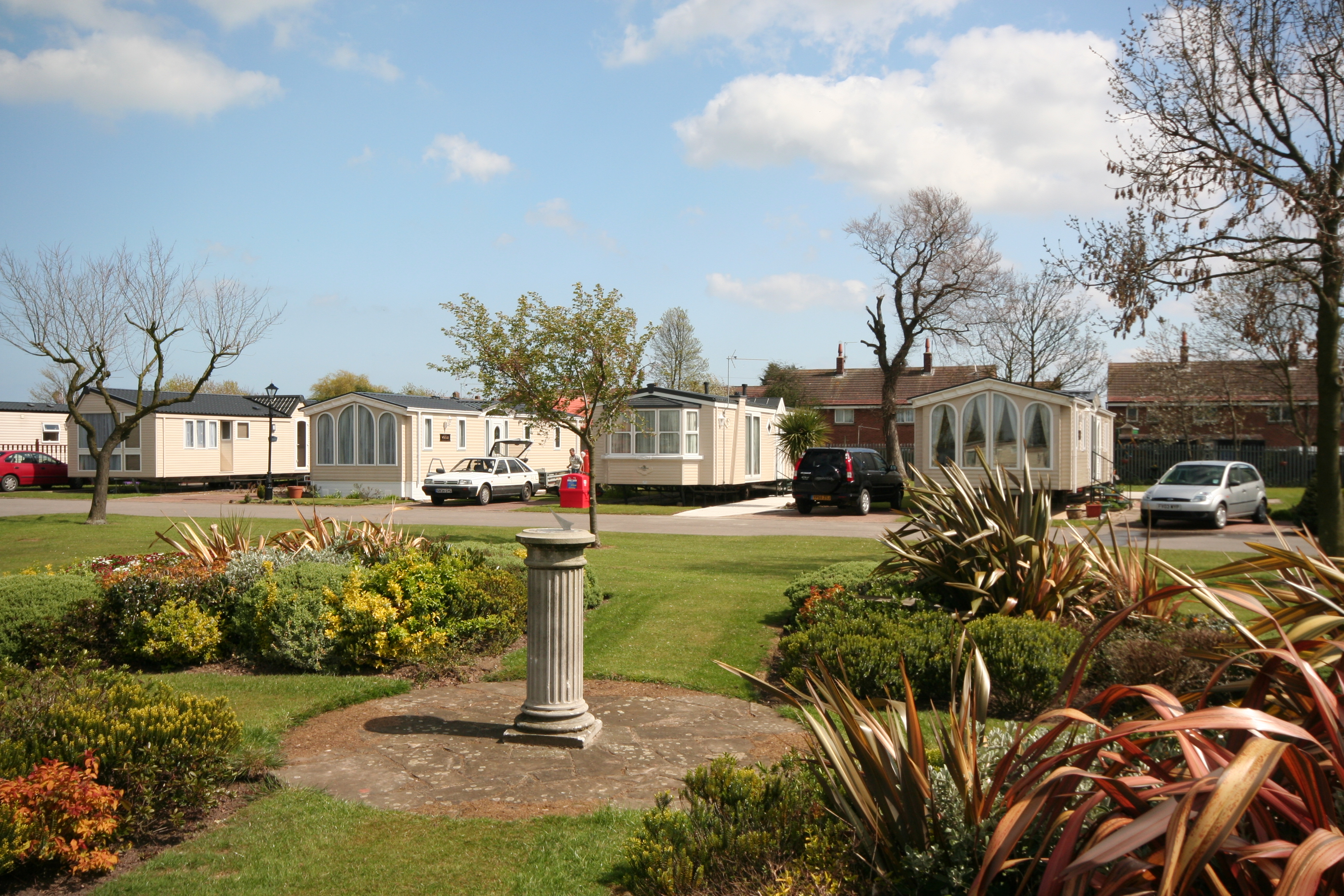
Patrington Haven
Patrington Haven is a hamlet in the East Riding of Yorkshire, England, in an area known as Holderness. It is situated approximately 8 miles (13 km) south...
North Wall, Lincolnshire
The North Wall is a tidal defence wall which runs for several miles along the banks of the river Humber from Moody Lane in Grimsby along the coast to the...
Related Videos

SUNK ISLAND: East Riding of Yorkshire Parish #26 of 172
Time for an actual island! Yes it's been a while since the channel covered Canvey Island a long time ago now, so I think one is ...

Sunk Island Harvesting
Clip of Harvesting, Sunk Island. Permission Granted.
Nearby Amenities
Located within 500m of 53.641869,-0.08236139Have you been to Old Island?
Leave your review of Old Island below (or comments, questions and feedback).