Round Nap Island
Island in Hampshire Havant
England
Round Nap Island
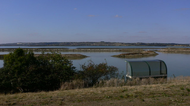
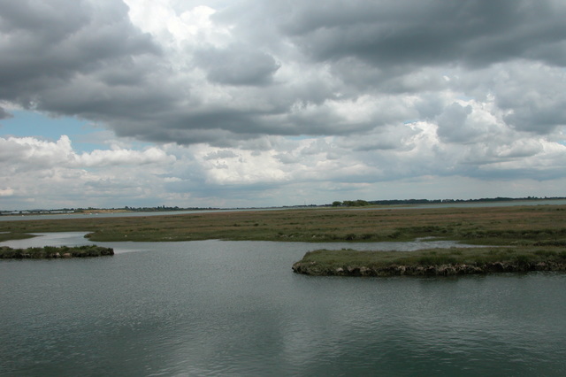
Round Nap Island is a small, uninhabited island located off the coast of Hampshire, England. Situated in the Solent, between the mainland and the Isle of Wight, it is part of the New Forest National Park. The island spans an area of approximately 0.5 hectares and is characterized by its round shape, from which it derives its name.
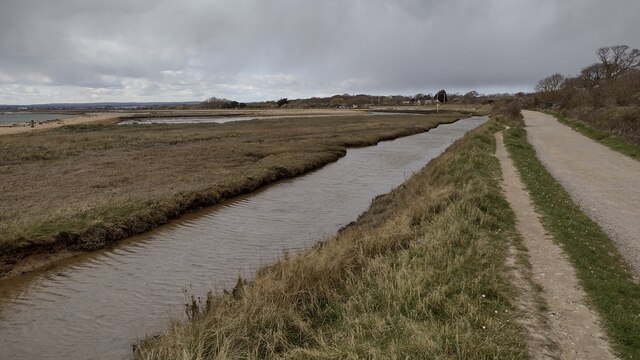
The island is known for its rich biodiversity and is designated as a Site of Special Scientific Interest (SSSI). It is home to a variety of bird species, including nesting seabirds such as the black-headed gull and the great black-backed gull. The surrounding waters are also teeming with marine life, making it a popular spot for divers and snorkelers.
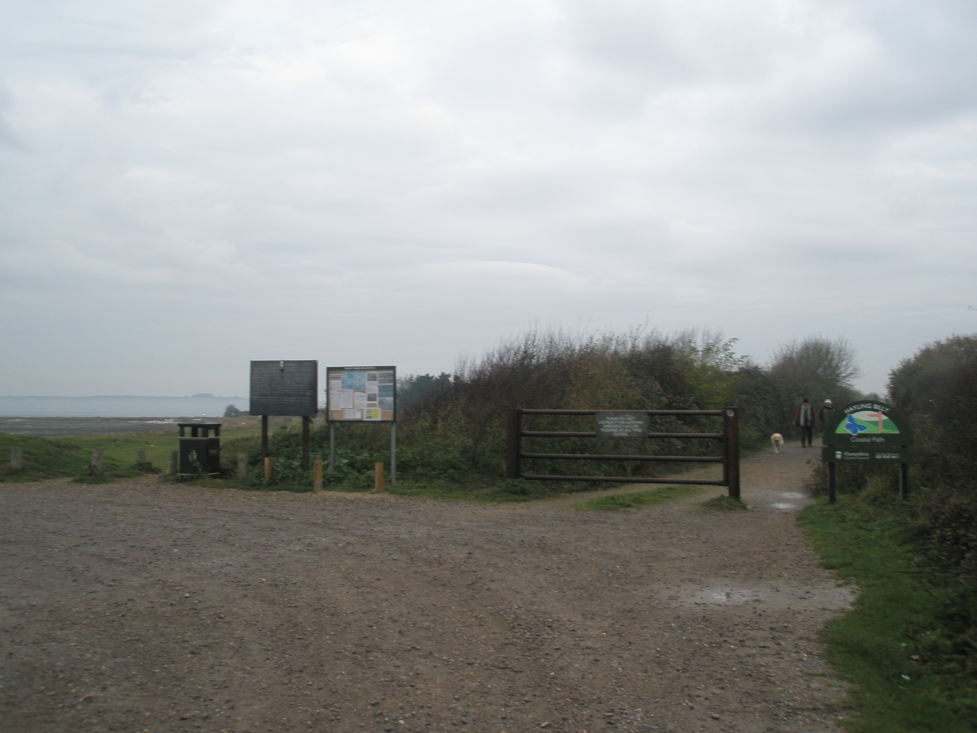
Access to Round Nap Island is restricted due to its protected status, and landing is only permitted for research and conservation purposes. As a result, the island remains largely untouched by human activity. Its natural beauty and peaceful atmosphere attract nature enthusiasts and birdwatchers who enjoy observing the island's wildlife from nearby vantage points on the mainland or from boats.
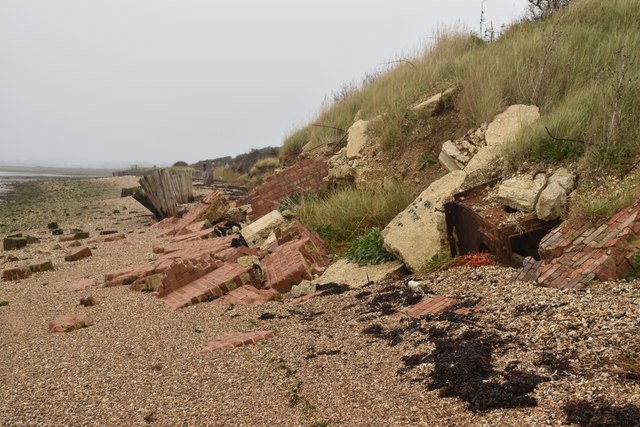
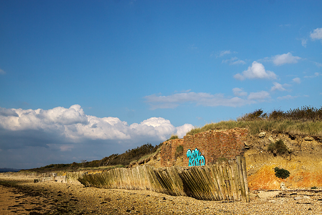
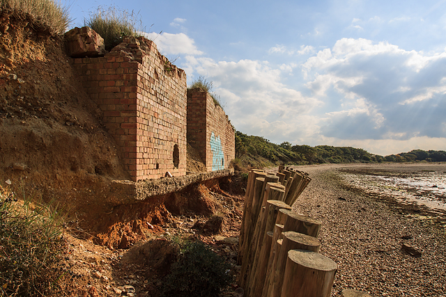
While Round Nap Island lacks any permanent structures or amenities, it holds historical significance. During World War II, the island was used as a lookout point for monitoring enemy activity in the Solent. The remnants of a concrete bunker can still be seen on the island, serving as a reminder of its wartime role.
In summary, Round Nap Island is a small, protected island off the coast of Hampshire renowned for its circular shape, diverse birdlife, and historical significance. It offers a haven for wildlife and serves as a picturesque spot for nature enthusiasts to enjoy the natural beauty of the Solent.
If you have any feedback on the listing, please let us know in the comments section below.
Round Nap Island Images
Images are sourced within 2km of 50.826529/-1.0034449 or Grid Reference SU7003. Thanks to Geograph Open Source API. All images are credited.


Round Nap Island is located at Grid Ref: SU7003 (Lat: 50.826529, Lng: -1.0034449)
Administrative County: Hampshire
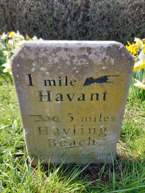
District: Havant
Police Authority: Hampshire
What 3 Words
///bride.design.dragon. Near Havant, Hampshire
Nearby Locations
Related Wikis

South Binness Island
South Binness Island is an island in Langstone Harbour. It is 600 metres (660 yd) long and up to 240 metres (260 yd) wide but only rises to 2 metres (7...

Long Island (Hampshire)
Long Island is an island in Langstone Harbour in Hampshire, England. It is 750 metres (820 yd) long and up to 250 metres (270 yd) wide. Three Bronze Age...
Baker's Island
Baker's Island is an island in Langstone Harbour, Hampshire, England. It is 400 m (1,300 ft) long and up to 300 m (980 ft) wide but only rises to a little...

Langstone Harbour
Langstone Harbour is a 2,085.4-hectare (5,153-acre) biological Site of Special Scientific Interest in Hampshire. It is an inlet of the English Channel...
West Hayling
West Hayling is a 76.2-hectare (188-acre) Local Nature Reserve on Hayling Island in Hampshire. It is owned by Havant Borough Council and managed by the...
North Hayling railway station
North Hayling station was a halt on the single track Hayling Island branch, most often used to load oysters caught by local fishermen, but also ornithologists...
North Binness Island
North Binness Island is an island in Langstone Harbour It is 900 metres (980 yd) long and up to 250 metres (270 yd) wide but only rises to 2.5 metres...
Stoke, Hayling Island
Stoke is a village on Hayling Island in the Havant district, in the county of Hampshire, England. The village lies on the Havant A3023 road between North...
Nearby Amenities
Located within 500m of 50.826529,-1.0034449Have you been to Round Nap Island?
Leave your review of Round Nap Island below (or comments, questions and feedback).