Deadman's Head
Coastal Marsh, Saltings in Hampshire Havant
England
Deadman's Head
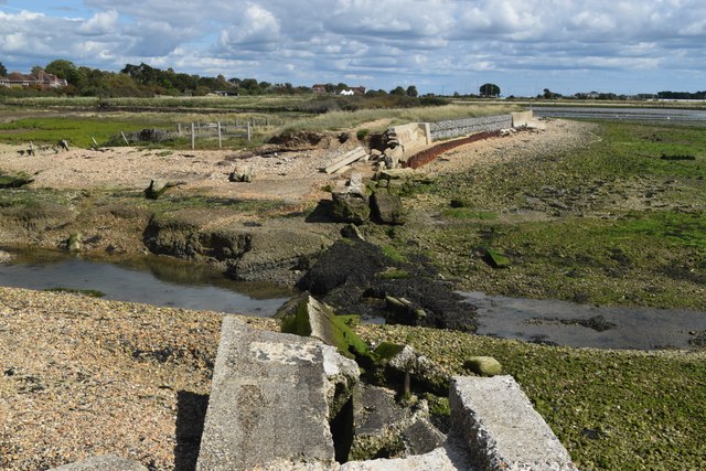
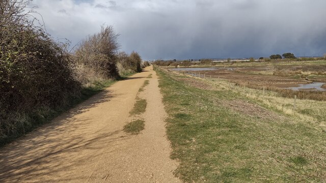
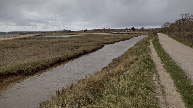
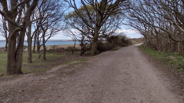
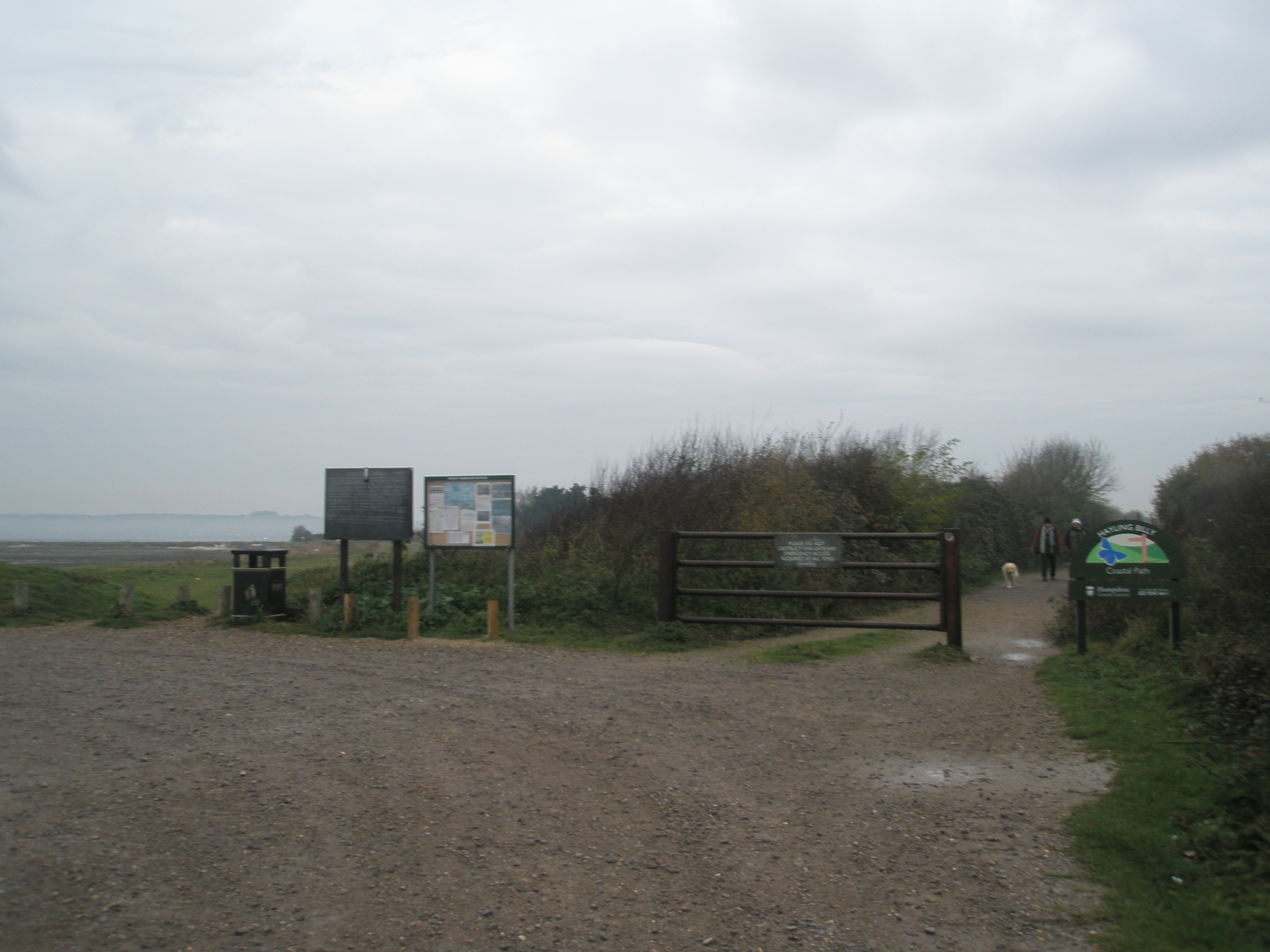
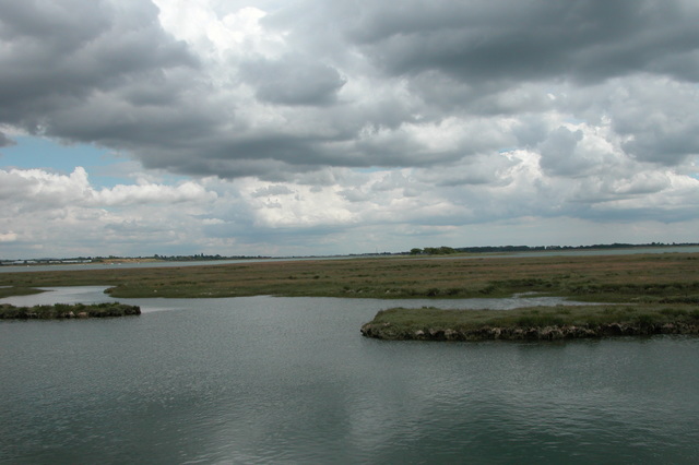
Deadman's Head is a prominent geographical feature located in Hampshire, England. It is a coastal marsh area known for its extensive saltings, which are large expanses of low-lying land frequently flooded by seawater during high tides. This unique ecosystem provides a diverse range of habitats for various plant and animal species.
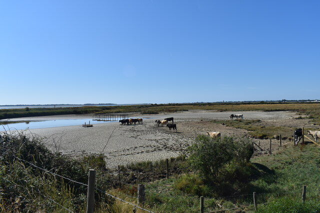
Situated on the southern coast of Hampshire, Deadman's Head encompasses an area of approximately 4 square kilometers. The landscape is characterized by vast mudflats, salt marshes, and shallow lagoons, which are largely influenced by the ebb and flow of the nearby sea. These saltings are crucial for the survival and reproduction of numerous bird species, including wading birds, waterfowl, and seabirds that rely on the area for feeding and nesting.
The marshlands of Deadman's Head are also home to a variety of plant species that have adapted to the saline conditions. Salt-tolerant grasses, samphires, and glassworts are commonly found, along with vibrant wildflowers that bloom during the summer months, adding a splash of color to the landscape.
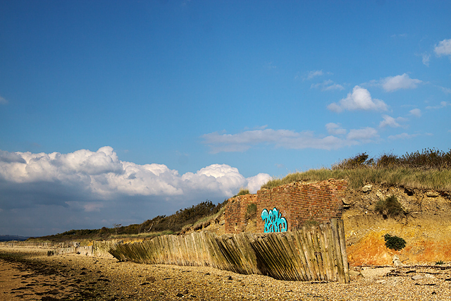
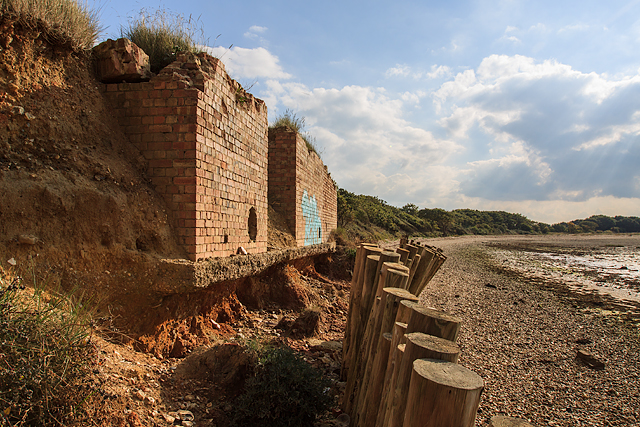
The site is of significant importance not only for its ecological value but also for its archaeological interest. It has been a site of human activity for thousands of years, with evidence of prehistoric settlements and Roman occupation. Archaeological excavations have unearthed artifacts, including pottery fragments and tools, shedding light on the region's rich history.
Deadman's Head, with its diverse ecosystems and historical significance, is a notable destination for nature enthusiasts, birdwatchers, and those interested in exploring the region's past. The area is protected and managed by local conservation organizations to ensure the preservation of its natural and cultural heritage.
If you have any feedback on the listing, please let us know in the comments section below.
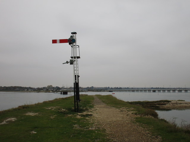
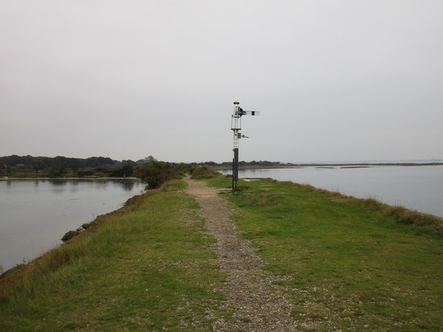
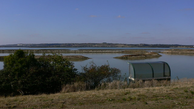
Deadman's Head Images
Images are sourced within 2km of 50.823773/-1.0060591 or Grid Reference SU7003. Thanks to Geograph Open Source API. All images are credited.


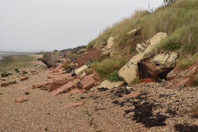


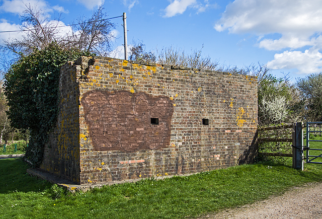
![WWII Hampshire: Hayling Island - West Lane pillbox (13) -
Pillbox (type FW3/22): DoB ID: S0012783
One side of this pillbox has been knocked through at some time to create a shelter for livestock. Constructed with brick shuttering, its coastal location on the west side of the island just south of the Naval Bombing Decoy control bunker is probably no coincidence. [<a title="https://www.geograph.org.uk/photo/5154399" href="https://www.geograph.org.uk/photo/5154399">Link</a>]
<a href="https://www.geograph.org.uk/photo/5321525">SU7101 : WWII Hampshire: Hayling Island - West Lane pillbox (14)</a>](https://s3.geograph.org.uk/geophotos/05/32/15/5321523_df94eff6.jpg)

Deadman's Head is located at Grid Ref: SU7003 (Lat: 50.823773, Lng: -1.0060591)
Administrative County: Hampshire
District: Havant
Police Authority: Hampshire
What 3 Words
///debate.remit.senses. Near Havant, Hampshire
Nearby Locations
Related Wikis

South Binness Island
South Binness Island is an island in Langstone Harbour. It is 600 metres (660 yd) long and up to 240 metres (260 yd) wide but only rises to 2 metres (7...

Langstone Harbour
Langstone Harbour is a 2,085.4-hectare (5,153-acre) biological Site of Special Scientific Interest in Hampshire. It is an inlet of the English Channel...
Baker's Island
Baker's Island is an island in Langstone Harbour, Hampshire, England. It is 400 m (1,300 ft) long and up to 300 m (980 ft) wide but only rises to a little...

Long Island (Hampshire)
Long Island is an island in Langstone Harbour in Hampshire, England. It is 750 metres (820 yd) long and up to 250 metres (270 yd) wide. Three Bronze Age...
West Hayling
West Hayling is a 76.2-hectare (188-acre) Local Nature Reserve on Hayling Island in Hampshire. It is owned by Havant Borough Council and managed by the...

Staunton Way
The Staunton Way is a 20.5 mile recreational circular walk in Hampshire, southern England, that connects Queen Elizabeth Country Park to Staunton Country...
North Hayling railway station
North Hayling station was a halt on the single track Hayling Island branch, most often used to load oysters caught by local fishermen, but also ornithologists...
North Binness Island
North Binness Island is an island in Langstone Harbour It is 900 metres (980 yd) long and up to 250 metres (270 yd) wide but only rises to 2.5 metres...
Nearby Amenities
Located within 500m of 50.823773,-1.0060591Have you been to Deadman's Head?
Leave your review of Deadman's Head below (or comments, questions and feedback).