The Island

Island in Yorkshire

England

The Island

Traffic lights for Sutton Bridge Looking along Elvington Lane towards the bridge over the Derwent.
Traffic lights for Sutton Bridge Credit: DS Pugh

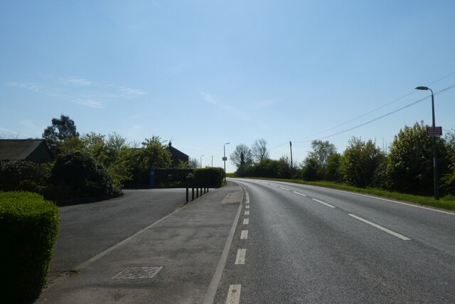
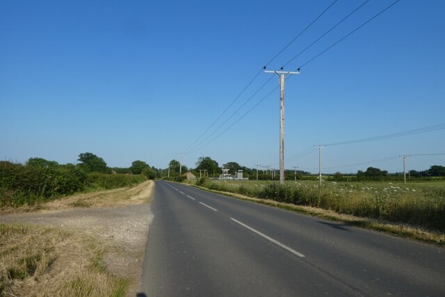
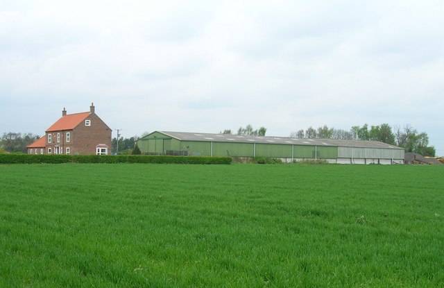
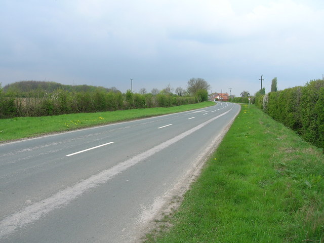
The Island, Yorkshire, also known as Island, is a small village located in the East Riding of Yorkshire, England. Situated on the banks of the River Derwent, it is part of the civil parish of Wressle. The village can be accessed via the A63 road, which runs between Selby and Kingston upon Hull.

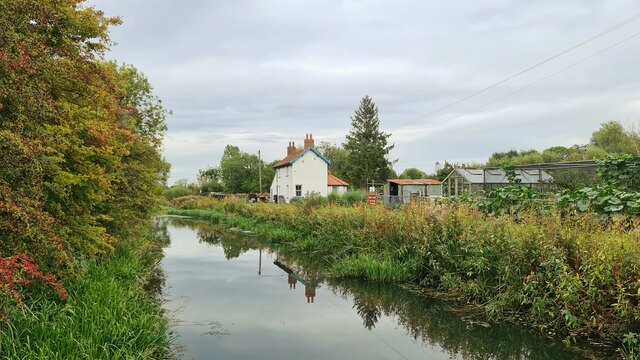
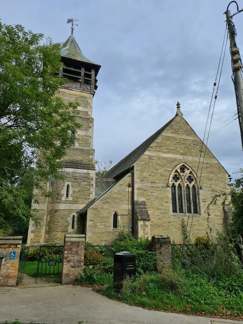
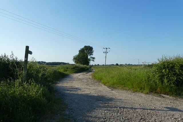
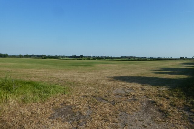
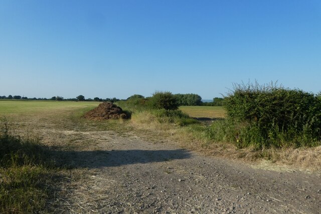
The Island is known for its picturesque and tranquil setting, surrounded by beautiful countryside and farmland. The River Derwent flows through the village, offering residents and visitors a scenic spot for leisure activities such as fishing and boating. The village is also home to a number of historic buildings, including a charming church and a few traditional cottages.

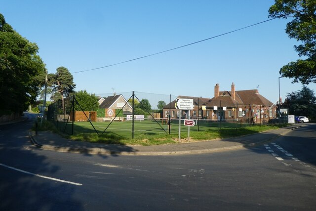
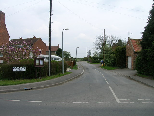
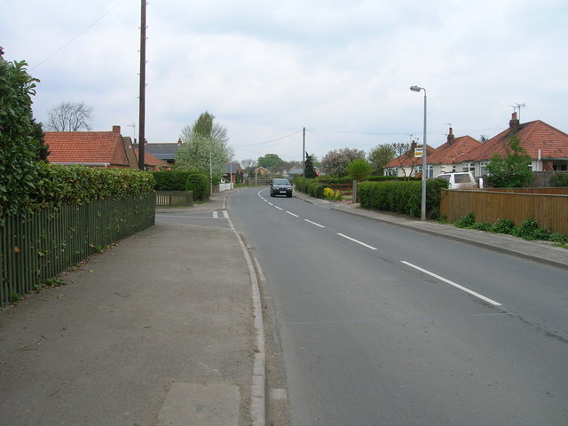
Despite its small size, the Island has a close-knit community that fosters a friendly and welcoming atmosphere. The villagers actively organize various social events and gatherings throughout the year, fostering a sense of community spirit. The local pub is a popular meeting place for residents and visitors alike, serving traditional pub fare and beverages.

The Island is well-positioned for outdoor enthusiasts, with ample opportunities for walking and exploring the nearby countryside. The village is also within easy reach of other attractions in the area, including the historic city of York and the Yorkshire Wolds.

Overall, the Island offers a peaceful and idyllic retreat for those seeking a slower pace of life and a connection to nature.

If you have any feedback on the listing, please let us know in the comments section below.
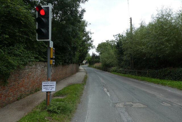
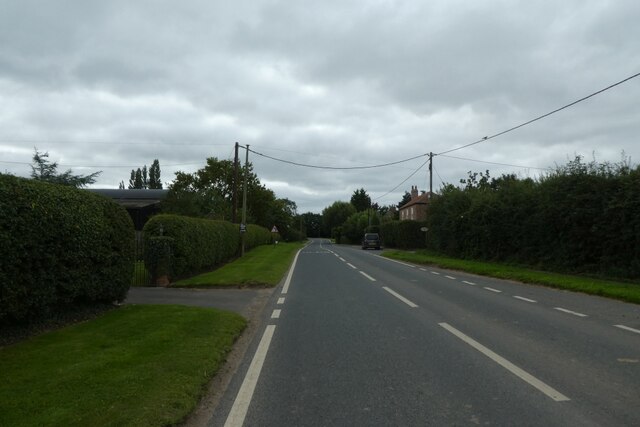
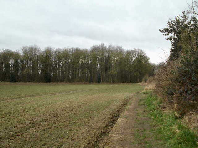
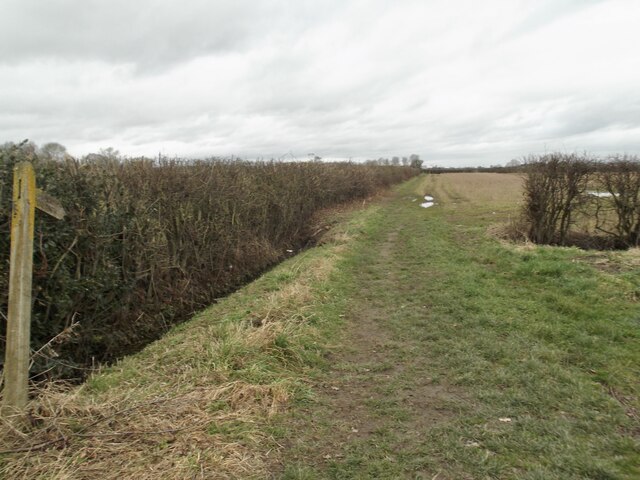
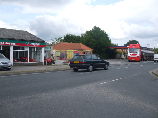
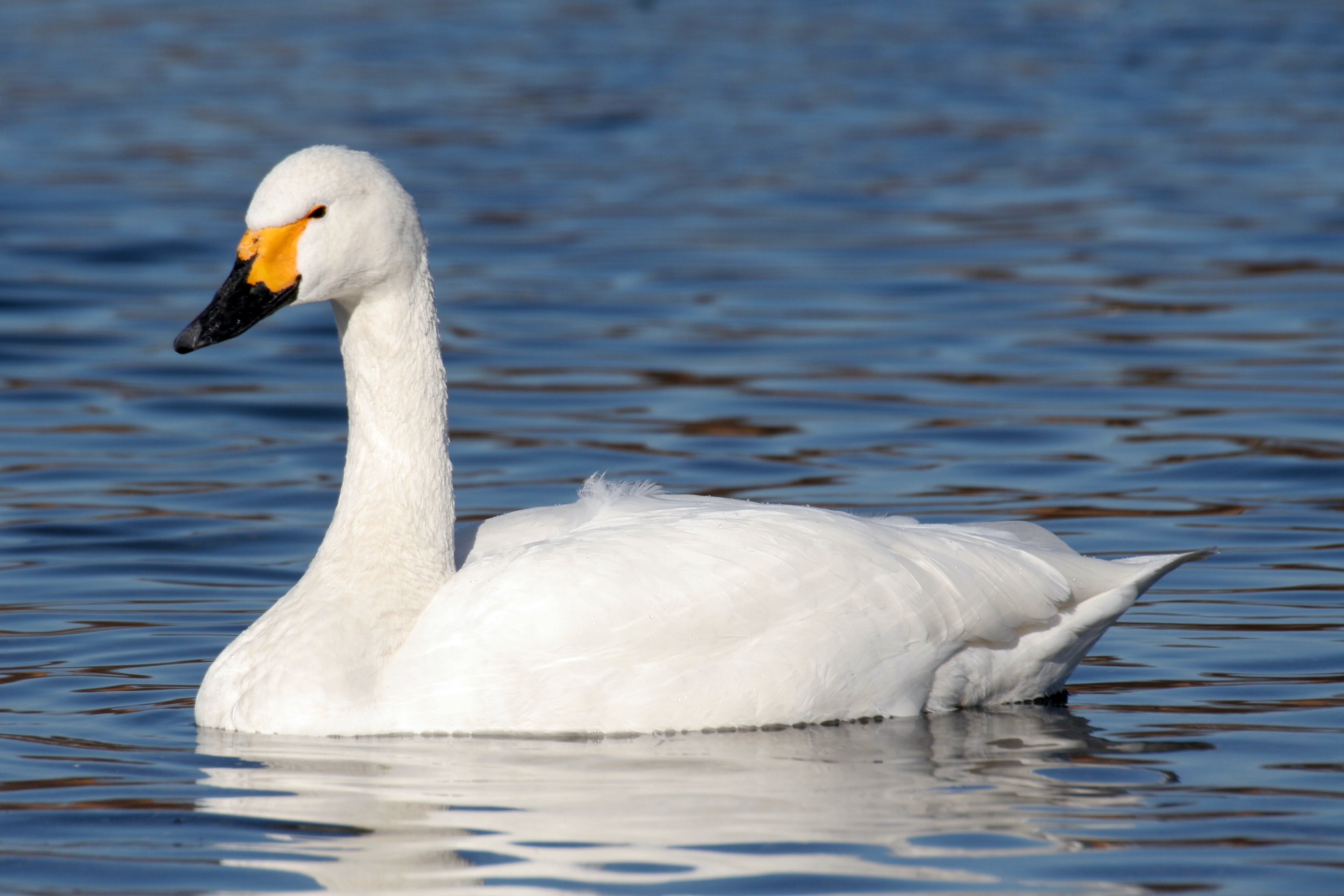
The Island Images

Images are sourced within 2km of 53.918152/-0.92888812 or Grid Reference SE7047. Thanks to Geograph Open Source API. All images are credited.

Traffic lights for Sutton Bridge Looking along Elvington Lane towards the bridge over the Derwent.
Traffic lights for Sutton Bridge
Looking along Elvington Lane towards the bridge over the Derwent.
Main Street, Sutton upon Derwent Looking along Main Street in the village.
Main Street, Sutton upon Derwent
Looking along Main Street in the village.
Gravelpit Plantation
Footpath on Prickett Fields
Old garage along Common Lane Looking along Common Lane in Sutton Upon Derwent.
Old garage along Common Lane
Looking along Common Lane in Sutton Upon Derwent.
Sutton Bridge Crossing the Derwent
Sutton Bridge
Crossing the Derwent
The Island and Lock House Sutton on Derwent
The Island and Lock House
Sutton on Derwent
Holy Trinity Church, Elvington Holy Trinity Church, 1877; <span class="nowrap"><a title="https://historicengland.org.uk/listing/the-list/list-entry/1148520?section=official-list-entry" rel="nofollow ugc noopener" href="https://historicengland.org.uk/listing/the-list/list-entry/1148520?section=official-list-entry">Link</a><img style="margin-left:2px;" alt="External link" title="External link - shift click to open in new window" src="https://s1.geograph.org.uk/img/external.png" width="10" height="10"/></span>

Although this record says 1801; <span class="nowrap"><a title="http://elvingtonhistory.org.uk/" rel="nofollow ugc noopener" href="http://elvingtonhistory.org.uk/">Link</a><img style="margin-left:2px;" alt="External link" title="External link - shift click to open in new window" src="https://s1.geograph.org.uk/img/external.png" width="10" height="10"/></span>

Both are right. The original church went back a lot further to Norman times; <span class="nowrap"><a title="https://www.genuki.org.uk/big/eng/YKS/ERY/Elvington/PhotoFrames/ElvingtonHolyTrintiy_1" rel="nofollow ugc noopener" href="https://www.genuki.org.uk/big/eng/YKS/ERY/Elvington/PhotoFrames/ElvingtonHolyTrintiy_1">Link</a><img style="margin-left:2px;" alt="External link" title="External link - shift click to open in new window" src="https://s1.geograph.org.uk/img/external.png" width="10" height="10"/></span>

And; <span class="nowrap"><a title="http://www.elvington.net/about-elvington/history/" rel="nofollow ugc noopener" href="http://www.elvington.net/about-elvington/history/">Link</a><img style="margin-left:2px;" alt="External link" title="External link - shift click to open in new window" src="https://s1.geograph.org.uk/img/external.png" width="10" height="10"/></span>
Holy Trinity Church, Elvington
Holy Trinity Church, 1877; LinkExternal link Although this record says 1801; LinkExternal link Both are right. The original church went back a lot further to Norman times; LinkExternal link And; LinkExternal link
Tennis club in Sutton upon Derwent At the junction of Sandhill Lane and Main Street.
Tennis club in Sutton upon Derwent
At the junction of Sandhill Lane and Main Street.
Track north of Sandhill Lane Looking along a footpath which heads north towards Sutton Wood.
Track north of Sandhill Lane
Looking along a footpath which heads north towards Sutton Wood.
Junction with High Lane Sandhill Lane between Sutton upon Derwent and Allerthorpe Common.
Junction with High Lane
Sandhill Lane between Sutton upon Derwent and Allerthorpe Common.
Fields south of Sandhill Lane Looking across fields of lawn turf.
Fields south of Sandhill Lane
Looking across fields of lawn turf.
Along Sandhill Lane Sandhill Lane east of Sutton upon Derwent.
Along Sandhill Lane
Sandhill Lane east of Sutton upon Derwent.
Fields north of Sandhill Lane Looking across farmland to the east of Sutton upon Derwent.
Fields north of Sandhill Lane
Looking across farmland to the east of Sutton upon Derwent.
Shellwind Farm
Shellwind Farm
Common Lane (B1228) towards Sutton upon Derwent
Wynam Lane, Sutton upon Derwent
Main Street, Sutton upon Derwent
Show me another place!

The Island is located at Grid Ref: SE7047 (Lat: 53.918152, Lng: -0.92888812)

Division: East Riding

Unitary Authority: York

Police Authority: North Yorkshire

What 3 Words

///kinder.strumming.disgraced. Near Sutton upon Derwent, East Yorkshire

Related Wikis

Sutton Bridge, Yorkshire

Sutton Bridge is a historic bridge in Yorkshire, in England. The bridge crosses the River Derwent, linking Elvington in the City of York with Sutton-upon...

Elvington, North Yorkshire

Elvington is a village and civil parish in the City of York, lying approximately 7 miles (11 km) south-east of York, England, on the B1228 York-Howden...

Sutton upon Derwent

Sutton upon Derwent is a small village and civil parish on the River Derwent in the East Riding of Yorkshire, England, approximately 8 miles (13 km) to...

Derwent Ings

Derwent Ings is a Site of Special Scientific Interest (SSSI) divided between North Yorkshire and the East Riding of Yorkshire, England. Derwent Ings is...

Nearby Amenities

Located within 500m of 53.918152,-0.92888812
Pub
St. Vincent Arms
Addr City: York
Addr Postcode: YO41 4BN
Addr Street: Main Street
Addr Suburb: Sutton upon Derwent
Beer Garden: yes
Floor Material: carpet
Parking: yes
Real Ale: 8 or so beers
Wheelchair: limited
Wheelchair Description: Steps at entrance
Wikidata: Q26455687
Lat/Long: 53.9158055/-0.924055
Bus Stop
Sutton On Derwent Main Street
Naptan AtcoCode: 2200YEA01687
Naptan Bearing: N
Naptan CommonName: Sutton On Derwent Main Street
Naptan Landmark: Community Hall
Naptan Street: Main Street
Naptan Verified: no
Source: naptan_import
Lat/Long: 53.9166511/-0.9244255
Waterway: lock_gate
Lat/Long: 53.9181368/-0.9293514
Waterway: lock_gate
Lat/Long: 53.917998/-0.9296451
Barrier: kissing_gate
Lat/Long: 53.9187427/-0.9341918
Traffic Signals
Note: On north of road, for traffic approaching from west. Separate lights to control car and horse traffic. Button for horse traffic.
Traffic Signals Direction: forward
Lat/Long: 53.9201141/-0.9304852
Barrier: kissing_gate
Lat/Long: 53.9204278/-0.9245176
Post Box
Post Box Type: pillar
Lat/Long: 53.9203083/-0.9352465
Bench
Lat/Long: 53.9202539/-0.9353176
The Village Store
Addr City: York
Addr Postcode: YO41 4HG
Addr Street: Main Street
Addr Suburb: Elvington
Shop: convenience
Lat/Long: 53.9203641/-0.9347484
Telephone
Booth: K6
Covered: booth
Listed Status: Grade II
Lat/Long: 53.9202907/-0.9351608
The Old Rectory
Addr City: York
Addr Postcode: YO41 4BX
Addr Street: Sandhill Lane
Addr Suburb: Sutton upon Derwent
Tourism: hotel
Wikidata: Q26455669
Lat/Long: 53.9173713/-0.9235005
Post Office
Sutton On Derwent Post Office
Addr City: York
Addr Country: GB
Addr Housename: Village Hall
Addr Postcode: YO41 4BN
Addr Street: Main Street
Addr Village: Sutton on Derwent
Brand: Post Office
Brand Wikidata: Q1783168
Opening Hours: Mo-Th 09:00-12:00
Ref Pol Id: 10224
Website: https://www.postoffice.co.uk/branch-finder/2583496/sutton-on-derwent
Lat/Long: 53.9167009/-0.9241374
Post Box
Post Box Type: lamp
Royal Cypher: GVIR
Royal Cypher Wikidata: Q33102169
Lat/Long: 53.9166964/-0.9242224
Entrance: yes
Lat/Long: 53.9201292/-0.9348119
Bus Stop
Village Hall
Bus: yes
Departures Board: timetable
Naptan AtcoCode: 3290YYA00631
Naptan NaptanCode: 32900631
Public Transport: platform
Shelter: yes
Website: http://deps.at/?32900631
Lat/Long: 53.9201861/-0.9344435
Rectory
Addr City: York
Addr Housename: The Old Rectory
Addr Postcode: YO41 4AD
Addr Street: Church Lane
Addr Suburb: Elvington
Building: yes
Lat/Long: 53.9187879/-0.9352108
Defibrillator
Access: yes
Defibrillator Location: On outside wall of Elvington Village Hall, at the North West corner facing Main Street.
Emergency: defibrillator
Indoor: no
Ref GB The Circuit: EA003AA3-F585-49C8-82D7-AFC000EC8576
Survey Date: 2024-04-21
Lat/Long: 53.9201825/-0.9347723
Defibrillator
Defibrillator Location: Outside Sutton upon Derwent Village Hall, next to post box.
Emergency: defibrillator
Indoor: no
Lat/Long: 53.9166818/-0.924199
Information: guidepost
Tourism: information
Lat/Long: 53.9202933/-0.9287498
Traffic Signals
Note: On west of road, for traffic from south, lights only
Traffic Signals Direction: backward
Lat/Long: 53.9202397/-0.9278893
Traffic Signals
Note: On north of road, for traffic approaching from west. Lights to control cycle traffic. Button for cyclists.
Traffic Signals Direction: backward
Lat/Long: 53.9203614/-0.9289378
Traffic Signals
Note: On west of road, for traffic approaching from south. Separate lights to control car and horse traffic. Button for horse traffic.
Traffic Signals Direction: backward
Lat/Long: 53.9201173/-0.9277627
Traffic Signals
Note: On west of road, for traffic approaching from north. Lights to control car traffic. Button for car drivers to push.
Traffic Signals Direction: forward
Lat/Long: 53.9202972/-0.9295596
Traffic Signals
Note: On west of road, for traffic approaching from north. Lights to control car traffic. Button for car drivers to push.
Traffic Signals Direction: forward
Lat/Long: 53.9203847/-0.9290003
Bus Stop
Village Hall
Bus: yes
Departures Board: no
Physically Present: yes
Public Transport: platform
Shelter: no
Lat/Long: 53.9202505/-0.93444
The data included in this document is from www.openstreetmap.org. The data is made available under ODbL.

Have you been to The Island?

Leave your review of The Island below (or comments, questions and feedback).