Isle of Wight
Island in Hampshire
England
Isle of Wight
The Isle of Wight, located off the south coast of England, is a picturesque island in Hampshire, known for its stunning natural beauty and rich history. With a population of around 140,000, the island is a popular tourist destination, attracting visitors from both the UK and abroad.
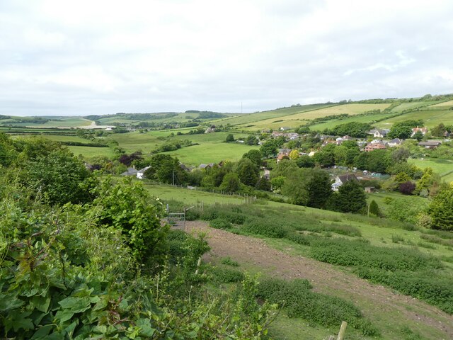
Renowned for its stunning coastline, the Isle of Wight offers visitors a variety of beautiful beaches, cliffs, and coves. The iconic Needles, a series of chalk stacks rising from the sea, are a prominent feature of the island's western coastline. The island also boasts stunning landscapes, including rolling hills, lush forests, and charming villages.
The Isle of Wight has a rich history dating back thousands of years. It was once home to Queen Victoria, who built Osborne House, a magnificent Italianate palace and gardens that are now open to the public. The island also played a significant role in the D-Day landings during World War II, with many historic sites and museums commemorating this important event.
The island is well-known for its festivals, including the famous Isle of Wight Festival, which attracts top international musicians and has been a music hotspot since the 1960s. Other popular events include the Cowes Week sailing regatta and the Garlic Festival, celebrating the island's agricultural heritage.
Transportation to the island is easily accessible via ferry or hovercraft from the mainland. Once on the island, visitors can explore the many attractions, including amusement parks, wildlife centers, and the historic towns of Newport and Ryde.
With its stunning landscapes, rich history, and vibrant cultural scene, the Isle of Wight offers a diverse range of experiences for visitors, making it a must-visit destination for nature lovers, history enthusiasts, and festival-goers alike.
If you have any feedback on the listing, please let us know in the comments section below.
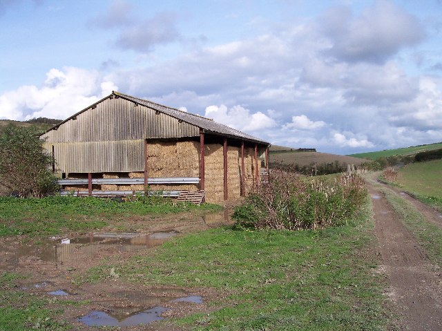
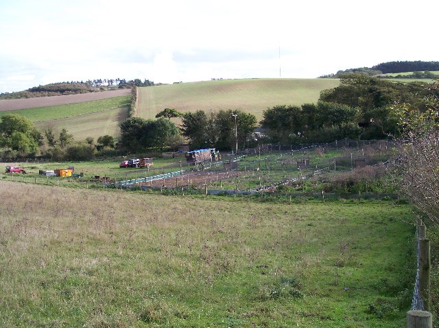
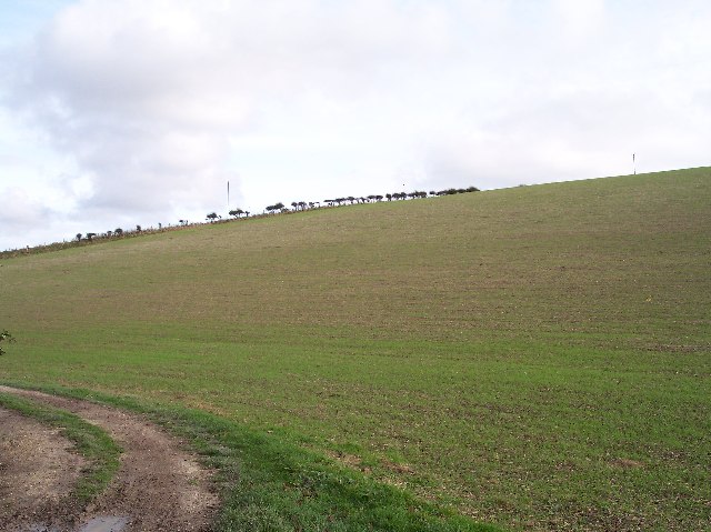
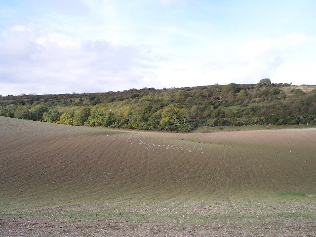
Isle of Wight Images
Images are sourced within 2km of 50.671311/-1.3336296 or Grid Reference SZ4785. Thanks to Geograph Open Source API. All images are credited.


Isle of Wight is located at Grid Ref: SZ4785 (Lat: 50.671311, Lng: -1.3336296)
Unitary Authority: Isle of Wight
Police Authority: Hampshire
What 3 Words
///rural.staple.pausing. Near Newport, Isle of Wight
Nearby Locations
Related Wikis

Bowcombe
Bowcombe is a hamlet on the Isle of Wight. It has an elevation of 144 feet (44 m) and is located 2+1⁄2 miles (4 km) southwest of Newport in the centre...

Garstons Down
Garston's Down is an area of downland on the Isle of Wight, rising to an altitude of 151 m (495 ft). It is located in the centre of the island, south of...

Isle of Wight (UK Parliament constituency)
Isle of Wight ( WYTE) is a constituency represented in the House of Commons of the UK Parliament since 2017 by Bob Seely, a Conservative. Created by the...
Isle of Wight Rural District
The Isle of Wight Rural District was a rural district on the Isle of Wight from 1894 to 1974 covering most of the island, apart from urban areas. In 1933...
Rowridge Valley
Rowridge Valley is a 39.8-hectare (98-acre) Site of Special Scientific Interest (SSSI) that is 2 km (1.2 mi) east of the village of Calbourne and just...

Apesdown
Apesdown is a hamlet on the Isle of Wight towards the west in an area known as West Wight. It is situated on the B3401 road between Carisbrooke and Calbourne...

Whitecroft Hospital
Whitecroft Hospital was a mental health facility near to Gatcombe on the Isle of Wight, England. The clock tower is a Grade II listed building. == History... ==

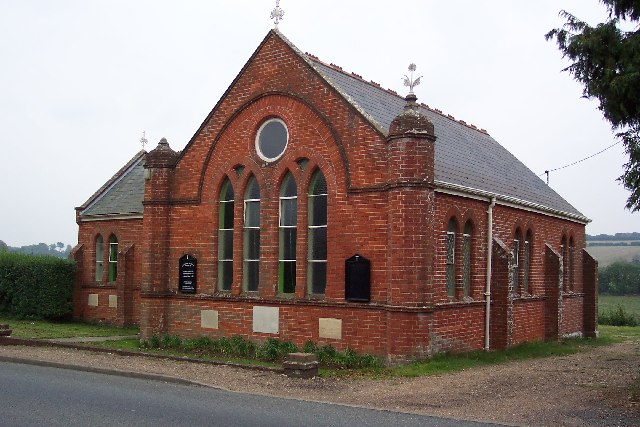
St Olave's Church, Gatcombe
St Olave's Church, Gatcombe is a parish church in the Church of England located in Gatcombe, Isle of Wight. It is grouped with Sts Thomas Minster, Newport...
Related Videos

Shepherds Trail | Isle of Wight Walks | Shorwell to Carisbrooke | Cool Dudes Walking Club
A walk along the Shepherds Trail on the Isle of Wight from Shorwell to Carisbrooke. If you enjoyed this video, and want to help me ...

Family holiday (day 3)
Visiting carisbrooke castle and the beach.

Walking the dog
It's early and Harry thought it is the perfect time to walk the dog around one of our islands castles.

Isle of Wight May-2023; Family time at Carisbrooke Castle
Exploring historic Carisbrooke Castle on the Isle of Wight in the sunshine. A perfect way to spend a Bank Holiday. Intro music: ...
Nearby Amenities
Located within 500m of 50.671311,-1.3336296Have you been to Isle of Wight?
Leave your review of Isle of Wight below (or comments, questions and feedback).