Barcham's Copse
Wood, Forest in Hampshire
England
Barcham's Copse
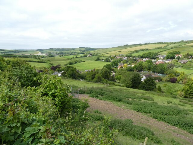
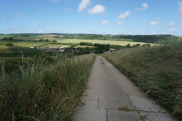
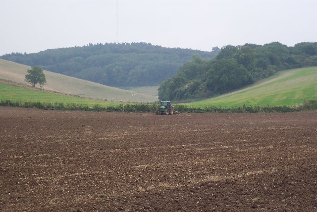
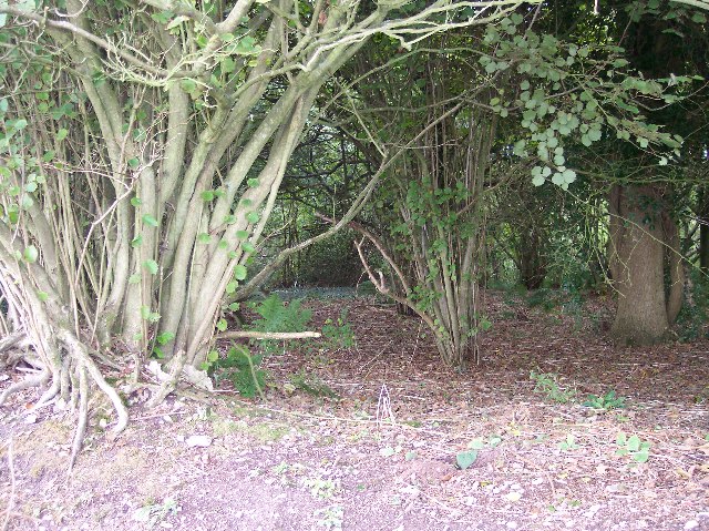
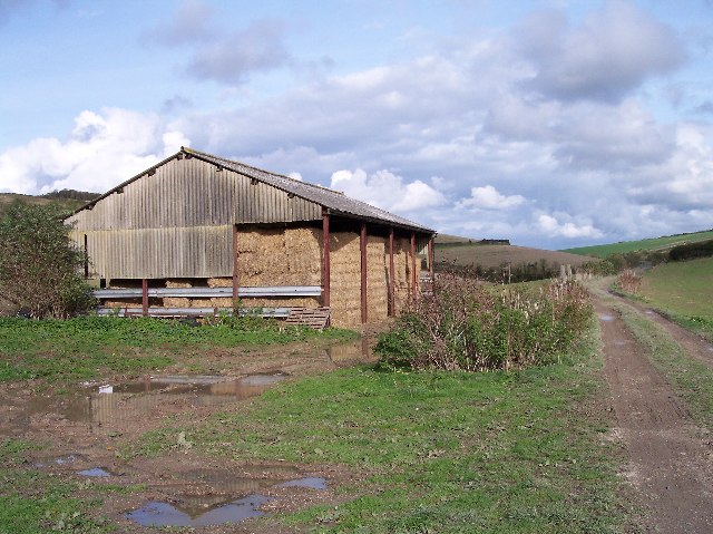
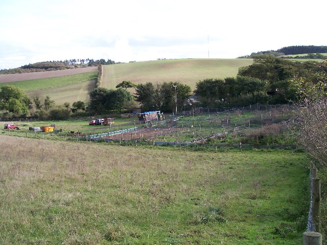
Barcham's Copse is a charming wood located in the county of Hampshire, England. With an area spanning over 100 acres, this beautiful forest offers a tranquil and picturesque setting for visitors to explore and enjoy.
The copse is predominantly composed of broadleaf trees, including oak, beech, and birch, which create a dense and lush canopy overhead. The woodland floor is adorned with a diverse array of flora, such as bluebells, primroses, and wood anemones, adding bursts of color throughout the seasons.
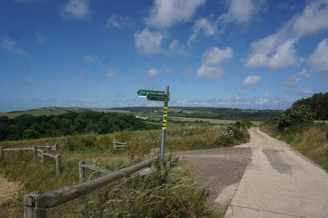
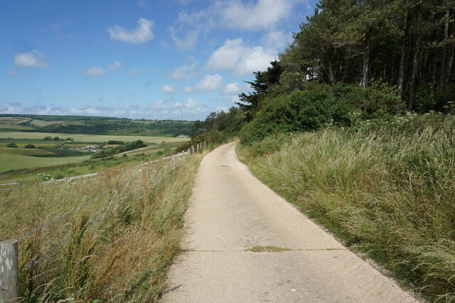
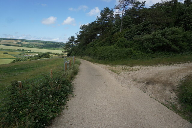
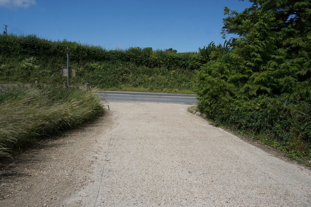
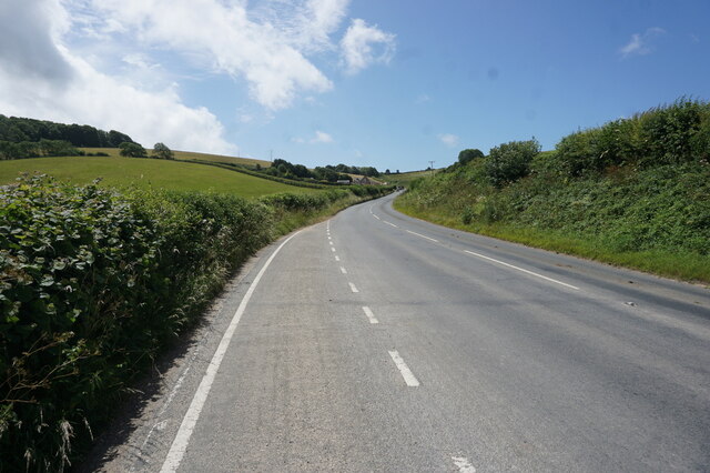
Numerous walking trails wind their way through the copse, providing visitors with the opportunity to immerse themselves in nature. These paths range from easy strolls to more challenging hikes, catering to all abilities and preferences. Along the way, visitors can admire the ancient trees that have stood for centuries, some of which have impressive girths and towering heights.
Wildlife is abundant in Barcham's Copse, and it serves as a vital habitat for various species. Birdwatchers may spot woodpeckers, owls, and warblers, while those with a keen eye may catch a glimpse of elusive deer or foxes. The copse also supports a diverse range of insects, including butterflies and bees, making it a haven for nature enthusiasts and photographers.
Barcham's Copse is a cherished natural gem in Hampshire, offering a peaceful retreat for those seeking solace in the beauty of the countryside. Whether it's a leisurely walk, a spot of birdwatching, or simply enjoying the serenity of the forest, this wood provides a captivating experience for all who visit.
If you have any feedback on the listing, please let us know in the comments section below.
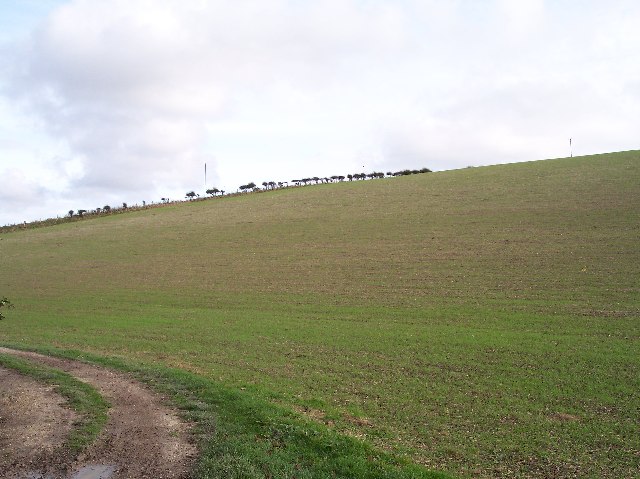
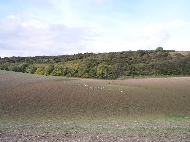
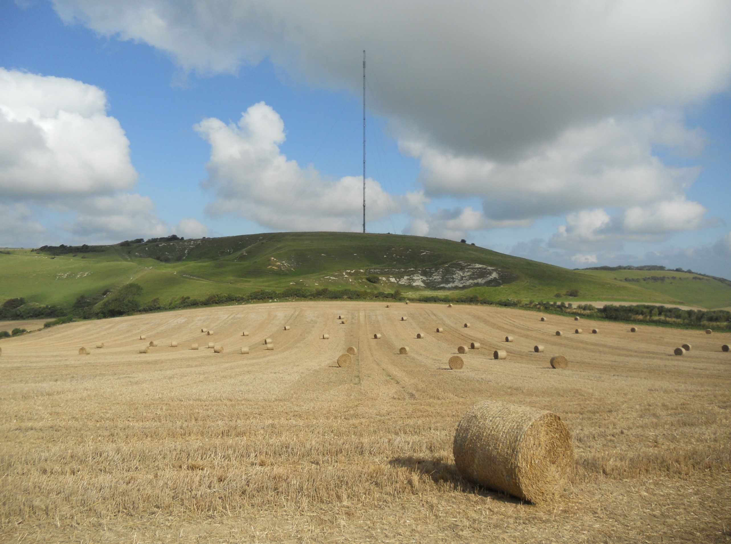
Barcham's Copse Images
Images are sourced within 2km of 50.669206/-1.3335037 or Grid Reference SZ4785. Thanks to Geograph Open Source API. All images are credited.


Barcham's Copse is located at Grid Ref: SZ4785 (Lat: 50.669206, Lng: -1.3335037)
Unitary Authority: Isle of Wight
Police Authority: Hampshire
What 3 Words
///ventures.obviously.mystery. Near Newport, Isle of Wight
Nearby Locations
Related Wikis

Bowcombe
Bowcombe is a hamlet on the Isle of Wight. It has an elevation of 144 feet (44 m) and is located 2+1⁄2 miles (4 km) southwest of Newport in the centre...

Garstons Down
Garston's Down is an area of downland on the Isle of Wight, rising to an altitude of 151 m (495 ft). It is located in the centre of the island, south of...
Isle of Wight Rural District
The Isle of Wight Rural District was a rural district on the Isle of Wight from 1894 to 1974 covering most of the island, apart from urban areas. In 1933...

Isle of Wight (UK Parliament constituency)
Isle of Wight ( WYTE) is a constituency represented in the House of Commons of the UK Parliament since 2017 by Bob Seely, a Conservative. Created by the...
Rowridge Valley
Rowridge Valley is a 39.8-hectare (98-acre) Site of Special Scientific Interest (SSSI) that is 2 km (1.2 mi) east of the village of Calbourne and just...
Chillerton Down
Chillerton Down is downland between the villages of Shorwell and Chillerton, on the Isle of Wight, England. == Description == The highest point of the...

St Olave's Church, Gatcombe
St Olave's Church, Gatcombe is a parish church in the Church of England located in Gatcombe, Isle of Wight. It is grouped with Sts Thomas Minster, Newport...
Gatcombe House
Gatcombe House is a 15,234 sq ft (1,415.3 m2) manor house in Gatcombe on the Isle of Wight, England. The original building was constructed by the Stur...
Nearby Amenities
Located within 500m of 50.669206,-1.3335037Have you been to Barcham's Copse?
Leave your review of Barcham's Copse below (or comments, questions and feedback).