Dukem Down
Downs, Moorland in Hampshire
England
Dukem Down
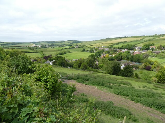
Dukem Down is a picturesque region located in Hampshire, England. It encompasses a vast area comprising of downs, moorland, and stunning natural landscapes. It is a popular destination for nature enthusiasts, hikers, and those seeking tranquility away from the hustle and bustle of city life.
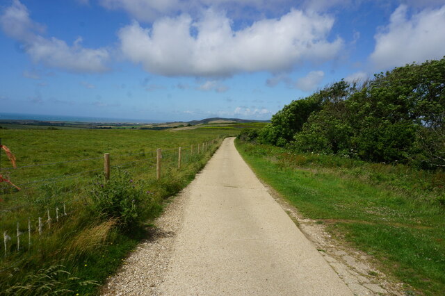
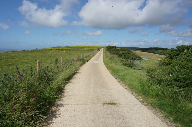
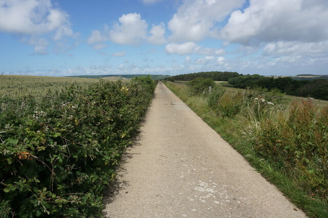
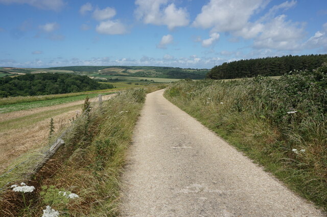
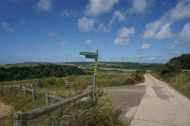
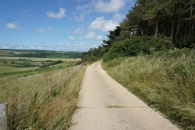
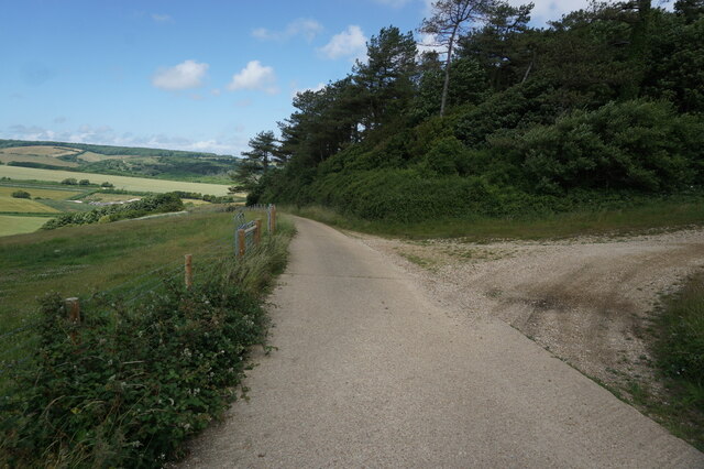
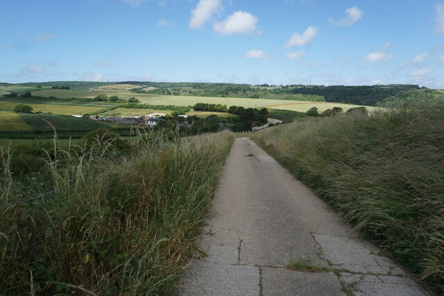
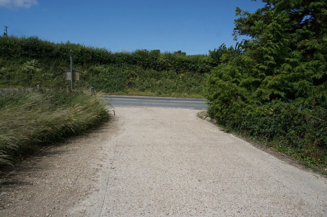
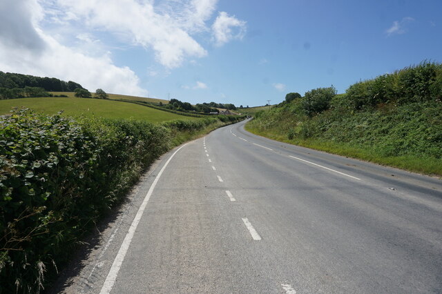
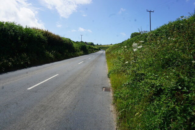
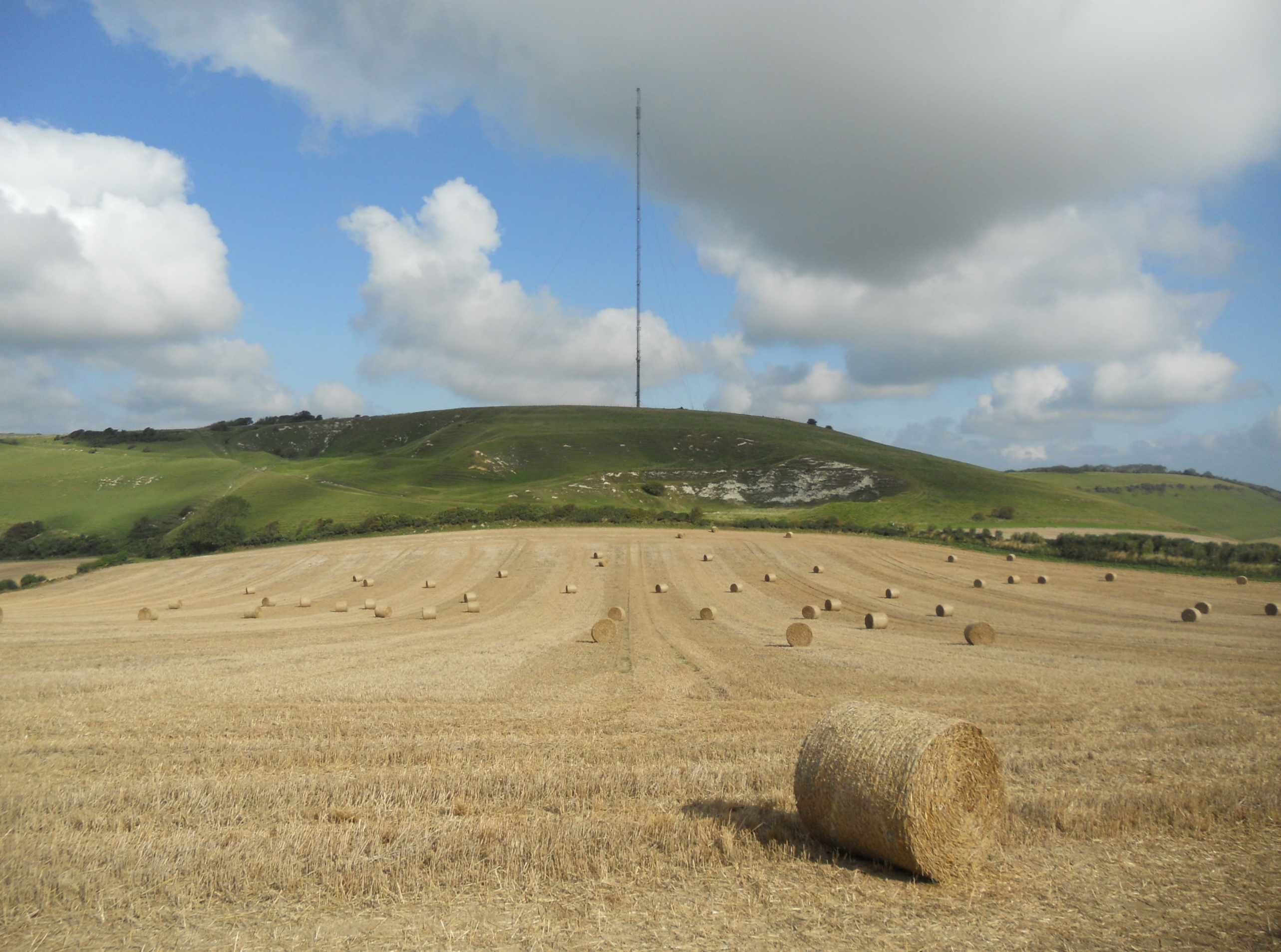
The downs in Dukem Down are characterized by their rolling hills and expansive grasslands. These open spaces provide a breathtaking view of the surrounding countryside and are often dotted with grazing sheep and wildflowers. The area is ideal for leisurely walks, picnics, and kite flying.
The moorland in Dukem Down is a unique feature of the region. It is characterized by its heather-covered hills, scattered with ancient trees and rocky outcrops. The moorland offers an opportunity for visitors to immerse themselves in the beauty of nature and observe the diverse wildlife that inhabits the area. It is also a popular spot for birdwatching, with several species of birds making their homes amidst the moorland.
Dukem Down is not only known for its natural beauty but also for its historical significance. The area is home to several archaeological sites, including ancient burial mounds and remnants of Bronze Age settlements. These artifacts offer a glimpse into the rich history of the region and provide a fascinating insight into the lives of its past inhabitants.
Overall, Dukem Down, Hampshire (Downs, Moorland) is a captivating destination that showcases the best of Hampshire's natural beauty and historical heritage. With its stunning downs, enchanting moorland, and rich history, it offers a truly immersive and unforgettable experience for visitors.
If you have any feedback on the listing, please let us know in the comments section below.
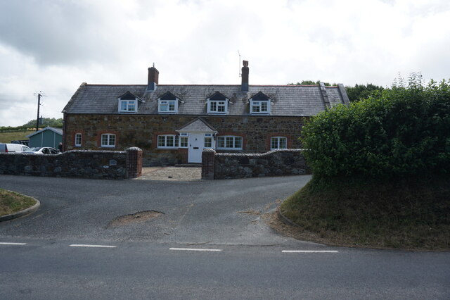
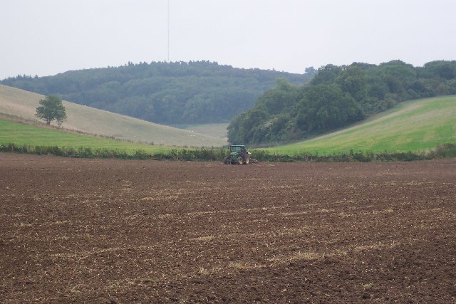
Dukem Down Images
Images are sourced within 2km of 50.666043/-1.3356002 or Grid Reference SZ4785. Thanks to Geograph Open Source API. All images are credited.


Dukem Down is located at Grid Ref: SZ4785 (Lat: 50.666043, Lng: -1.3356002)
Unitary Authority: Isle of Wight
Police Authority: Hampshire
What 3 Words
///heats.thinkers.blotches. Near Brighstone, Isle of Wight
Nearby Locations
Related Wikis

Garstons Down
Garston's Down is an area of downland on the Isle of Wight, rising to an altitude of 151 m (495 ft). It is located in the centre of the island, south of...

Bowcombe
Bowcombe is a hamlet on the Isle of Wight. It has an elevation of 144 feet (44 m) and is located 2+1⁄2 miles (4 km) southwest of Newport in the centre...
Isle of Wight Rural District
The Isle of Wight Rural District was a rural district on the Isle of Wight from 1894 to 1974 covering most of the island, apart from urban areas. In 1933...
Chillerton Down
Chillerton Down is downland between the villages of Shorwell and Chillerton, on the Isle of Wight, England. == Description == The highest point of the...
Nearby Amenities
Located within 500m of 50.666043,-1.3356002Have you been to Dukem Down?
Leave your review of Dukem Down below (or comments, questions and feedback).