Garstons Down
Downs, Moorland in Hampshire
England
Garstons Down

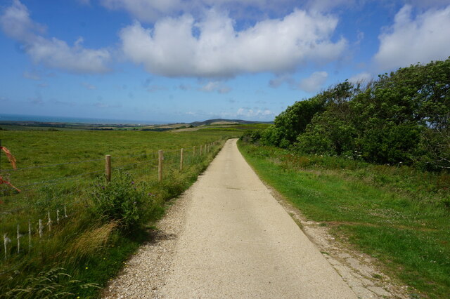
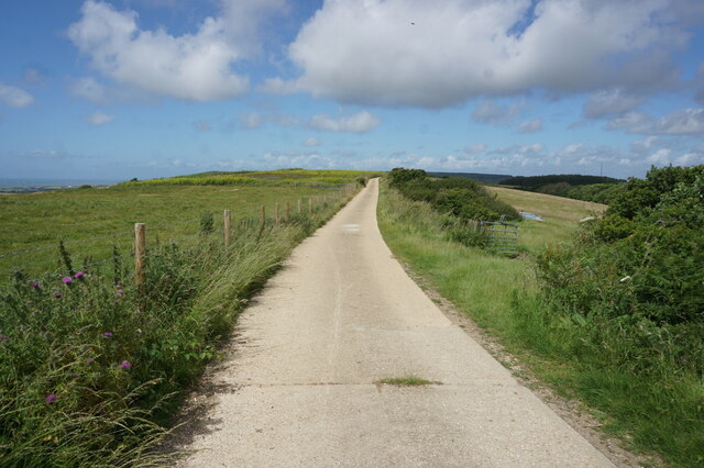
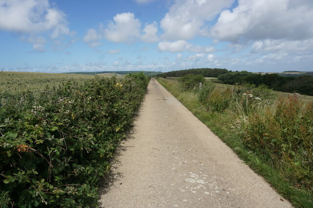
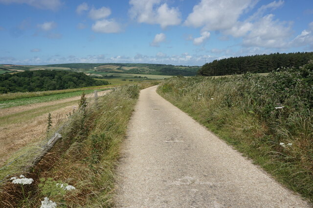
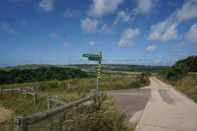
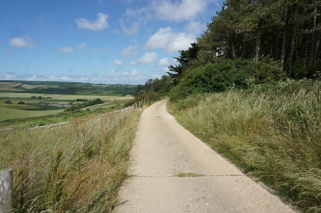
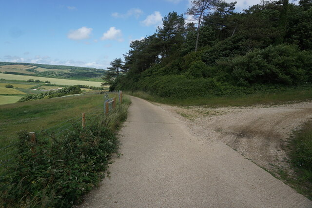
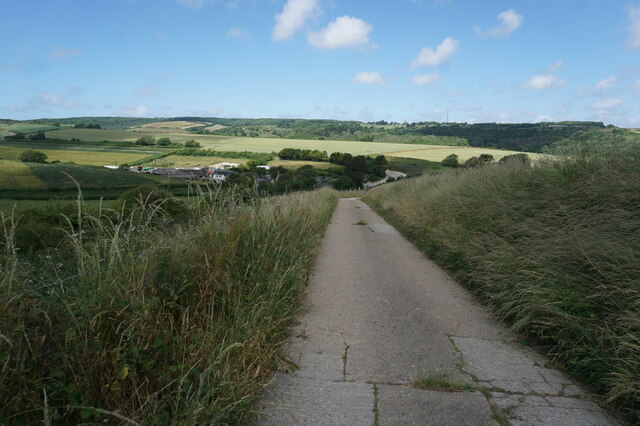
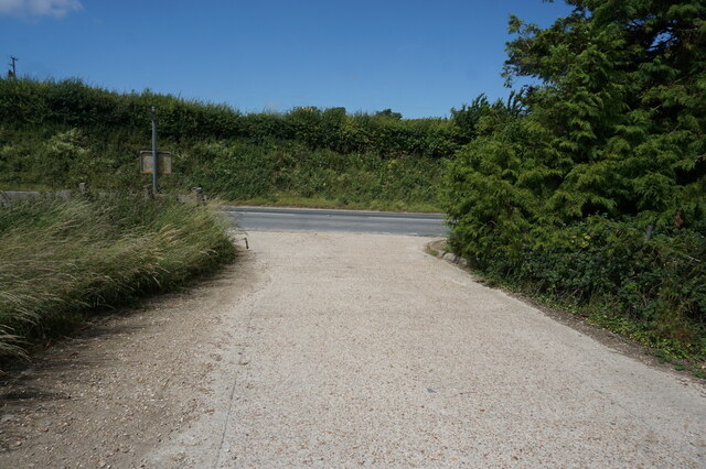
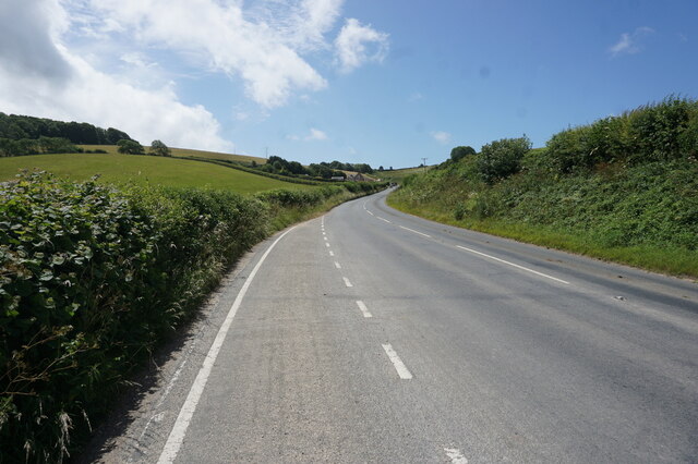
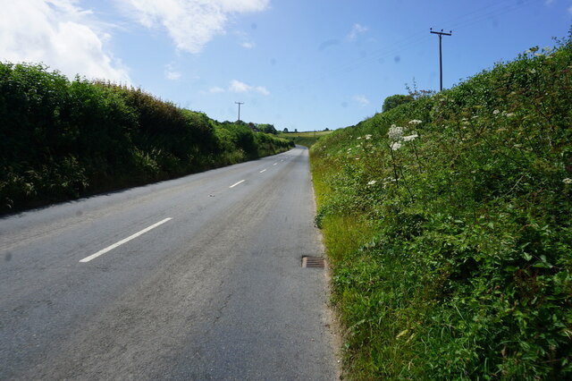
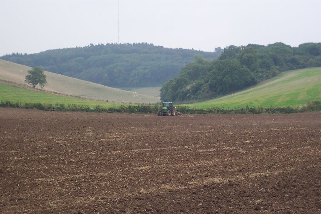
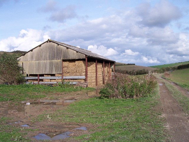
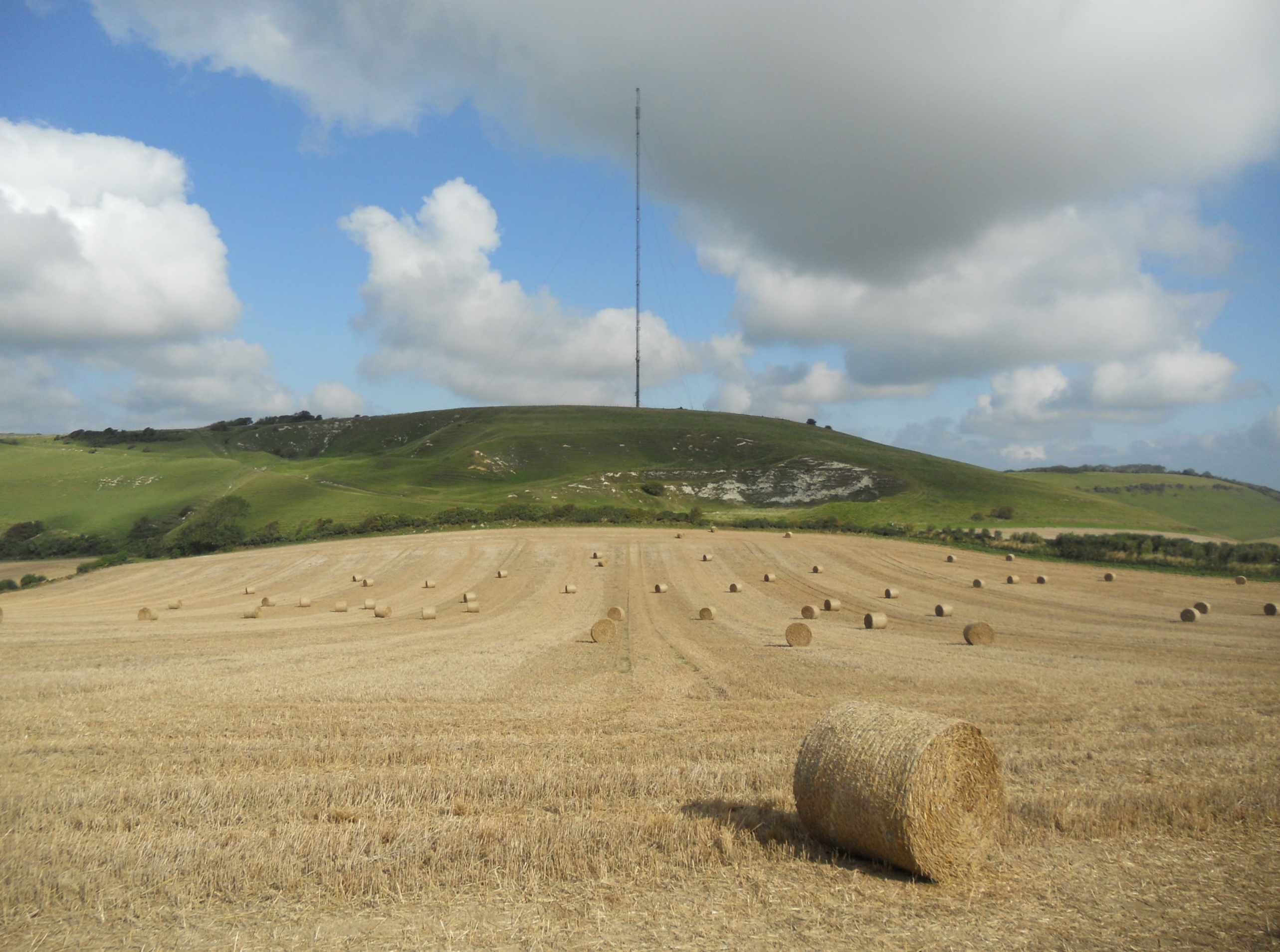
Garstons Down is a picturesque area located in Hampshire, England. Spread across vast expanses of land, it is known for its stunning downs and moorland landscapes. The area is characterized by rolling hills, lush greenery, and panoramic views that stretch for miles.
The downs of Garstons Down are covered in vibrant grass and rare wildflowers, creating a colorful and vibrant atmosphere. The undulating terrain offers a perfect setting for outdoor activities such as hiking, walking, and horseback riding. Visitors can explore the numerous footpaths and trails that crisscross the downs, providing ample opportunities to enjoy the serene beauty of the area.
The moorlands of Garstons Down are equally captivating, with their heather-covered hills and rocky outcrops. This unique habitat supports a variety of wildlife, including birds, small mammals, and rare plant species. Nature enthusiasts can observe and appreciate the diverse flora and fauna that thrive in this untouched landscape.
Garstons Down also has historical significance, as it is home to several ancient burial mounds and archaeological sites. These remnants from the past offer a glimpse into the area's rich history and heritage.
With its combination of natural beauty, recreational opportunities, and historical significance, Garstons Down is a popular destination for locals and tourists alike. Whether one seeks solitude and tranquility or an adventurous outdoor experience, this idyllic Hampshire landscape has something to offer for everyone.
If you have any feedback on the listing, please let us know in the comments section below.
Garstons Down Images
Images are sourced within 2km of 50.665666/-1.3293797 or Grid Reference SZ4785. Thanks to Geograph Open Source API. All images are credited.


Garstons Down is located at Grid Ref: SZ4785 (Lat: 50.665666, Lng: -1.3293797)
Unitary Authority: Isle of Wight
Police Authority: Hampshire
What 3 Words
///upward.advancing.score. Near Newport, Isle of Wight
Nearby Locations
Related Wikis

Garstons Down
Garston's Down is an area of downland on the Isle of Wight, rising to an altitude of 151 m (495 ft). It is located in the centre of the island, south of...
Isle of Wight Rural District
The Isle of Wight Rural District was a rural district on the Isle of Wight from 1894 to 1974 covering most of the island, apart from urban areas. In 1933...

Bowcombe
Bowcombe is a hamlet on the Isle of Wight. It has an elevation of 144 feet (44 m) and is located 2+1⁄2 miles (4 km) southwest of Newport in the centre...
Chillerton Down
Chillerton Down is downland between the villages of Shorwell and Chillerton, on the Isle of Wight, England. == Description == The highest point of the...

St Olave's Church, Gatcombe
St Olave's Church, Gatcombe is a parish church in the Church of England located in Gatcombe, Isle of Wight. It is grouped with Sts Thomas Minster, Newport...
Gatcombe House
Gatcombe House is a 15,234 sq ft (1,415.3 m2) manor house in Gatcombe on the Isle of Wight, England. The original building was constructed by the Stur...
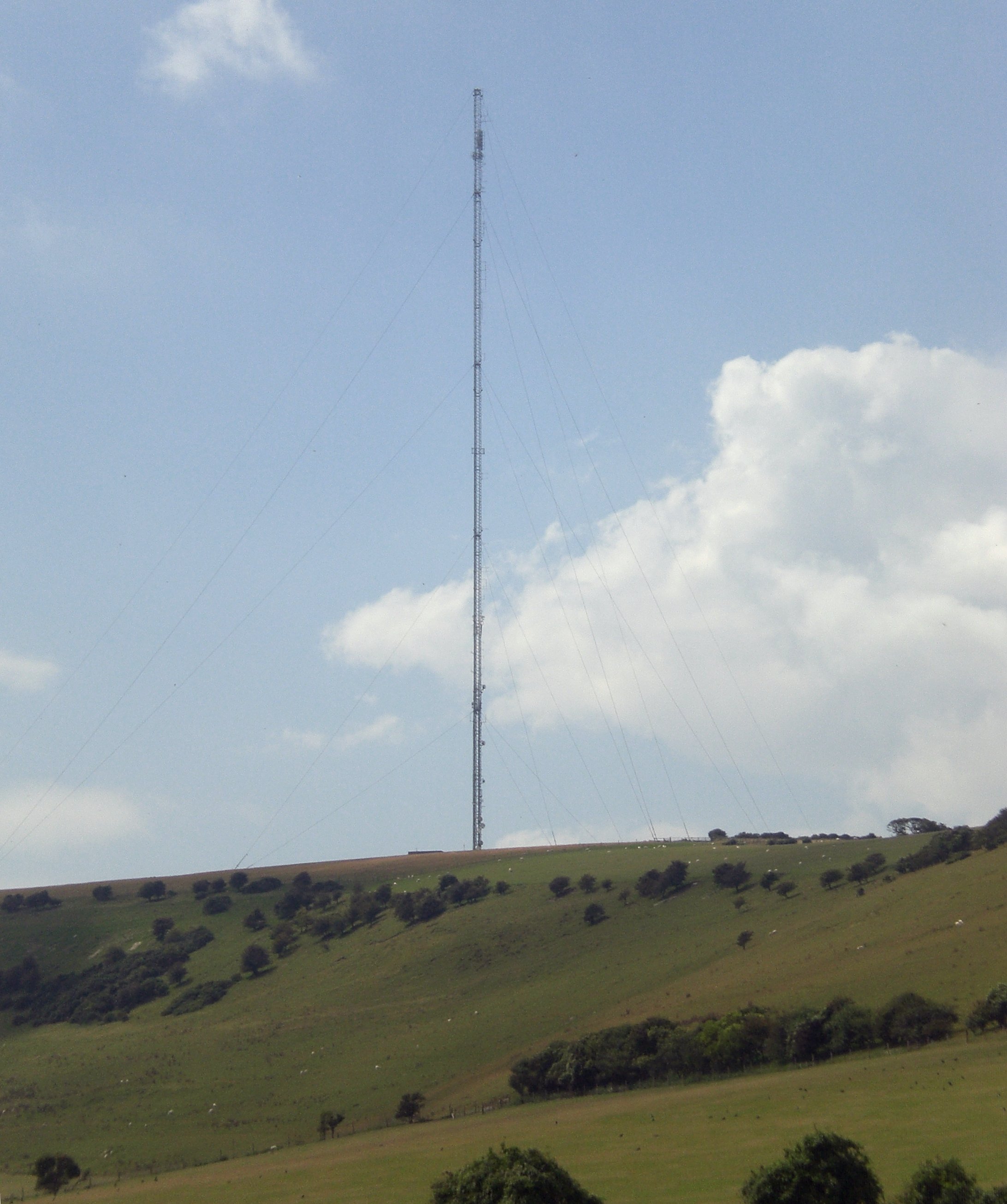
Chillerton Down transmitting station
The Chillerton Down transmitting station is a broadcasting facility for FM and DAB radio at Chillerton Down, above the village of Chillerton on the Isle...
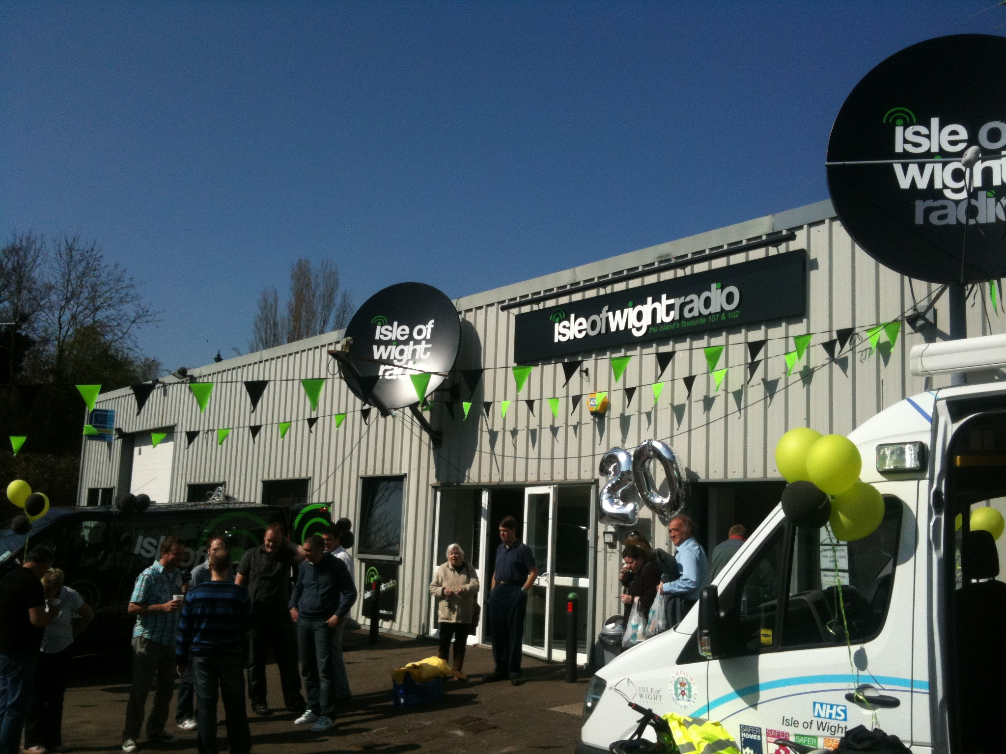
Isle of Wight Radio
Isle of Wight Radio is an Independent Local Radio station in Newport on the Isle of Wight. The station began transmitting on 1242 kHz from Briddlesford...
Nearby Amenities
Located within 500m of 50.665666,-1.3293797Have you been to Garstons Down?
Leave your review of Garstons Down below (or comments, questions and feedback).