Scottle Holm
Island in Shetland
Scotland
Scottle Holm
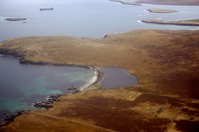
Scottle Holm is a small uninhabited island located in the Shetland archipelago, off the northeast coast of Scotland. It is situated in the North Sea, approximately 2 miles east of the mainland of Shetland. The island covers an area of about 7 acres and is composed of steep cliffs and rocky terrain.
Scottle Holm is known for its diverse bird population, particularly seabirds. It serves as an important breeding ground for species such as puffins, guillemots, razorbills, and fulmars. The island's cliffs provide ideal nesting sites for these birds, offering protection from predators.
Access to Scottle Holm is limited due to its remote location and the absence of any infrastructure or facilities on the island. Visitors can only reach the island by boat, and caution is advised due to the rocky coastline. The island is not open to the public, as it is designated as a nature reserve to protect its wildlife and habitat.
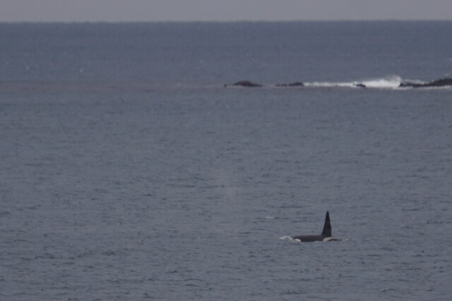
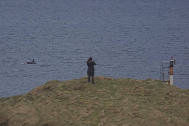
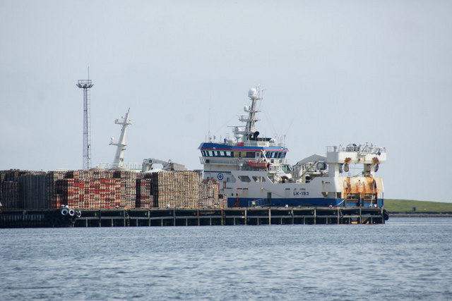
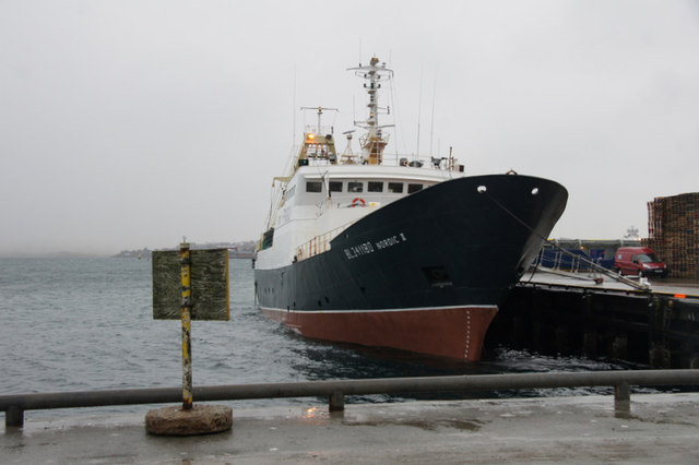
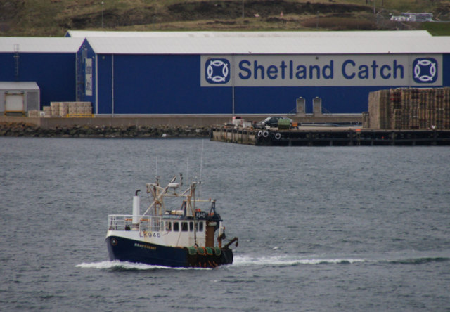
The surrounding waters of Scottle Holm are also home to a variety of marine life, including seals, dolphins, and porpoises. The island's location in the North Sea provides a rich environment for these animals, as well as for fishing activities in the region.
Overall, Scottle Holm is a small, uninhabited island off the coast of Shetland, cherished for its thriving bird population and natural beauty. It serves as an important sanctuary for seabirds and contributes to the biodiversity of the Shetland archipelago.
If you have any feedback on the listing, please let us know in the comments section below.
Scottle Holm Images
Images are sourced within 2km of 60.184968/-1.1506834 or Grid Reference HU4744. Thanks to Geograph Open Source API. All images are credited.


Scottle Holm is located at Grid Ref: HU4744 (Lat: 60.184968, Lng: -1.1506834)
Unitary Authority: Shetland Islands
Police Authority: Highlands and Islands
What 3 Words
///pancakes.purifier.solid. Near Lerwick, Shetland Islands
Nearby Locations
Related Wikis
Böd of Gremista
The Böd of Gremista, situated at the north end of Lerwick, Shetland, Scotland, is a typical 18th century Shetland fishing booth (or böd). It is protected...
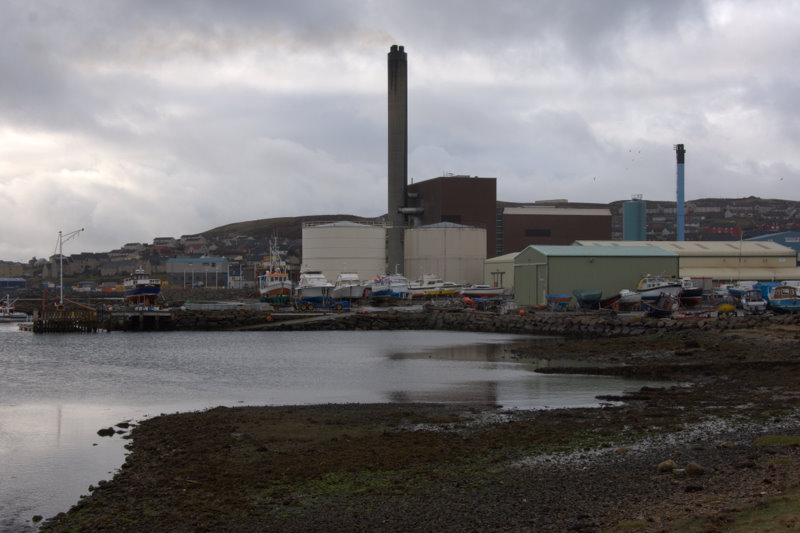
Lerwick Power Station
The main power supply for Shetland is provided by Lerwick Power Station, located in Gremista, 2 kilometres (1.2 mi) northwest of Lerwick town centre. This...

Mareel
Mareel is a multi-purpose entertainment venue located on the waterfront of Lerwick, the capital of Shetland. Opening in 2012, the facility includes a music...
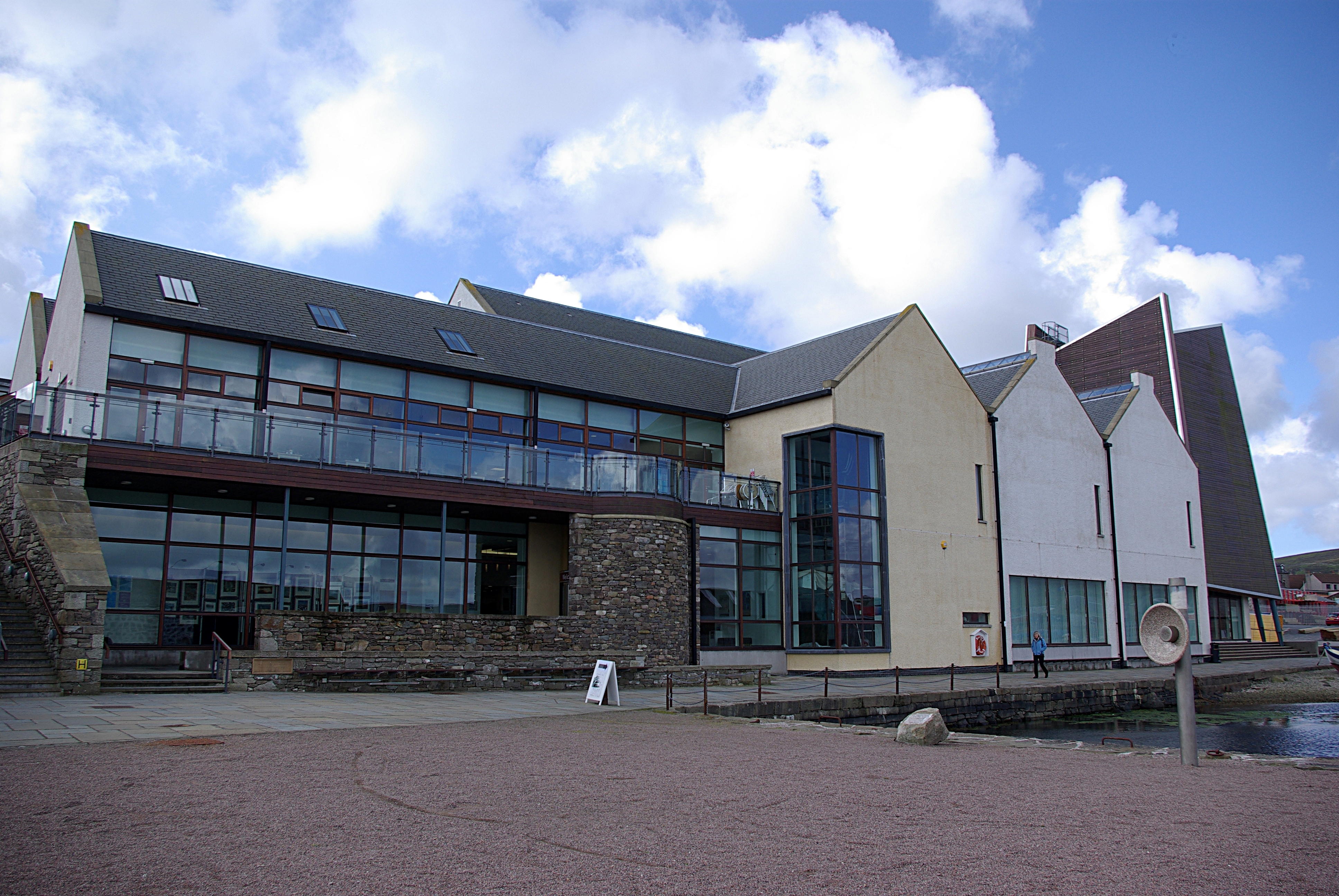
Shetland Museum
The Shetland Museum and Archives is a museum in Lerwick, Shetland, Scotland. The new Shetland Museum at Hay's Dock was officially opened on 31 May 2007...

Breiwick
Breiwick is a village on the island of Mainland in Shetland, Scotland. Breiwick is in the parish of Tingwall, and is 1.6 mi (2.5 km) north-east of Gott...

Viking bus station
Viking Bus Station is a bus station in Lerwick, Shetland, Scotland. The station is used both by passengers and for freight, which is transported by bus...

Gardie House
Gardie House is an 18th-century estate house on Bressay in Shetland, Scotland. Located opposite Lerwick, across the Bressay Sound, Gardie is described...
SIBC
Shetland Islands Broadcasting Company (SIBC) is an Independent Local Radio station broadcasting in the Shetland Islands. Its coverage area is Shetland...
Nearby Amenities
Located within 500m of 60.184968,-1.1506834Have you been to Scottle Holm?
Leave your review of Scottle Holm below (or comments, questions and feedback).