Beach of Turrataing
Beach in Shetland
Scotland
Beach of Turrataing
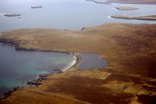
The Beach of Turrataing is a stunning and picturesque beach located in the Shetland Islands, an archipelago in Scotland. Situated on the west coast of the mainland, this beach offers visitors a serene and tranquil setting amidst breathtaking natural beauty.
The Beach of Turrataing is renowned for its pristine white sands, crystal-clear turquoise waters, and dramatic rocky cliffs. It stretches for approximately one kilometer and is flanked by rugged cliffs on one side and rolling hills on the other, creating a dramatic and awe-inspiring landscape.
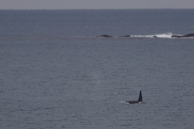
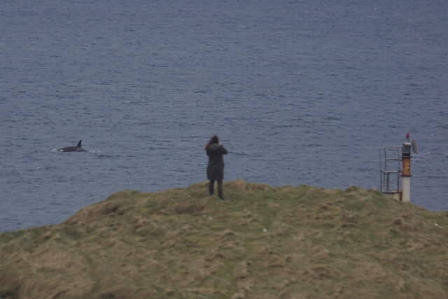
This remote beach is relatively secluded and not as frequented by tourists, making it an ideal spot for those seeking a peaceful and undisturbed escape. Its remote location also makes it an excellent spot for wildlife enthusiasts, as seals and various seabirds can often be spotted along the coastline.
The Beach of Turrataing offers a range of activities for visitors to enjoy. The calm and clear waters make it perfect for swimming, while the sandy shores are ideal for sunbathing and picnicking. The beach is also a popular spot for fishing and birdwatching, with the surrounding waters teeming with marine life.
Access to the Beach of Turrataing is relatively easy, with a small car park located nearby. From there, a short walk will lead visitors to the beach, where they can immerse themselves in the tranquil beauty of this hidden gem in the Shetland Islands.
If you have any feedback on the listing, please let us know in the comments section below.
Beach of Turrataing Images
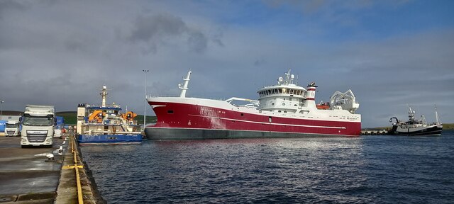
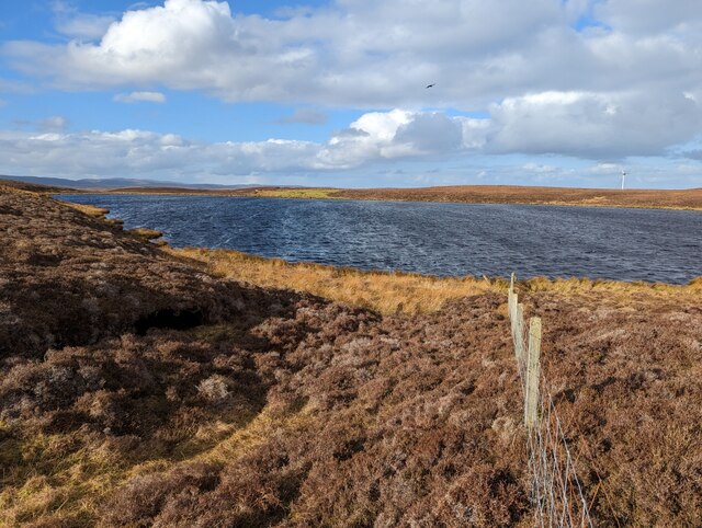
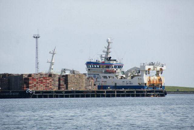
Images are sourced within 2km of 60.180463/-1.1441296 or Grid Reference HU4744. Thanks to Geograph Open Source API. All images are credited.


Beach of Turrataing is located at Grid Ref: HU4744 (Lat: 60.180463, Lng: -1.1441296)
Unitary Authority: Shetland Islands
Police Authority: Highlands and Islands
What 3 Words
///seashell.love.trifle. Near Lerwick, Shetland Islands
Nearby Locations
Related Wikis
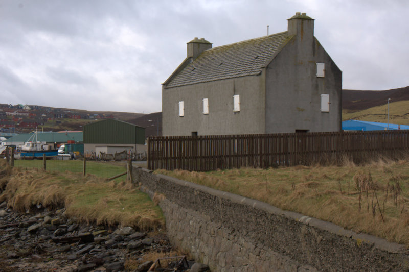
Böd of Gremista
The Böd of Gremista, situated at the north end of Lerwick, Shetland, Scotland, is a typical 18th century Shetland fishing booth (or böd). It is protected...
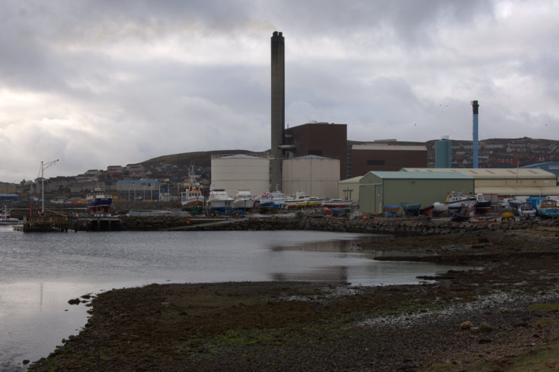
Lerwick Power Station
The main power supply for Shetland is provided by Lerwick Power Station, located in Gremista, 2 kilometres (1.2 mi) northwest of Lerwick town centre. This...

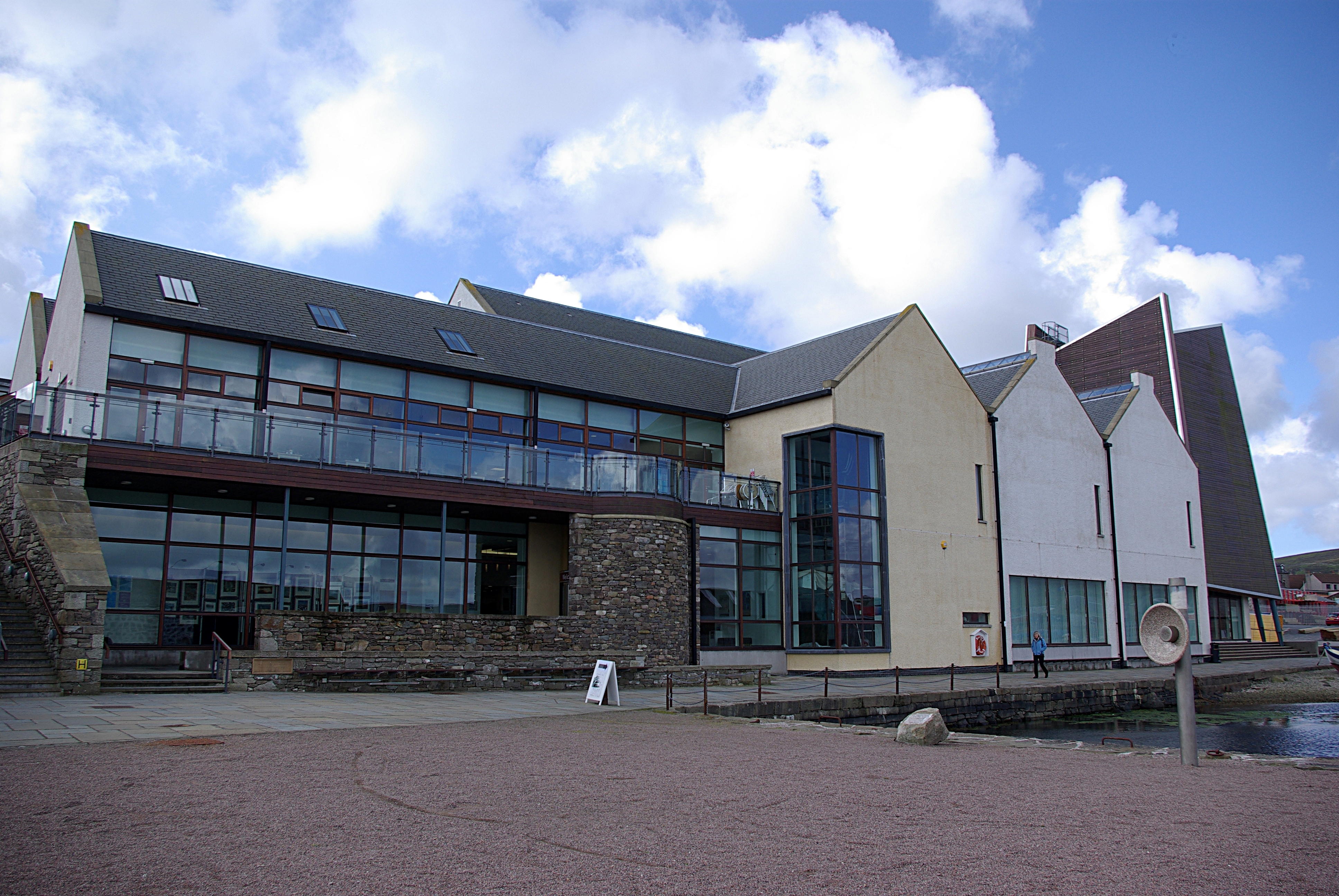
Mareel
Mareel is a multi-purpose entertainment venue located on the waterfront of Lerwick, the capital of Shetland. Opening in 2012, the facility includes a music...
Shetland Museum
The Shetland Museum and Archives is a museum in Lerwick, Shetland, Scotland. The new Shetland Museum at Hay's Dock was officially opened on 31 May 2007...

Gardie House
Gardie House is an 18th-century estate house on Bressay in Shetland, Scotland. Located opposite Lerwick, across the Bressay Sound, Gardie is described...

Viking bus station
Viking Bus Station is a bus station in Lerwick, Shetland, Scotland. The station is used both by passengers and for freight, which is transported by bus...

Garrison Theatre
The Garrison Theatre is a 280-capacity venue in Lerwick, Shetland, Scotland, with a sprung proscenium stage with fixed raked seating. The auditorium has...
SIBC
Shetland Islands Broadcasting Company (SIBC) is an Independent Local Radio station broadcasting in the Shetland Islands. Its coverage area is Shetland...
Nearby Amenities
Located within 500m of 60.180463,-1.1441296Have you been to Beach of Turrataing?
Leave your review of Beach of Turrataing below (or comments, questions and feedback).