Ayre of Scudillswick

Beach in Shetland

Scotland

Ayre of Scudillswick

Burn of Grunnawater Small road bridge over the Burn of Grunnawater
Burn of Grunnawater Credit: Mat Tuck

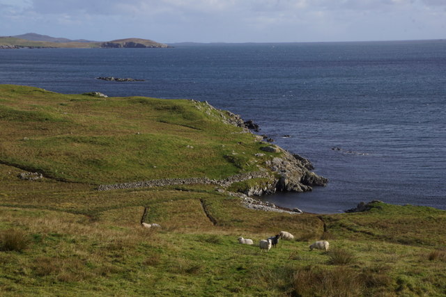
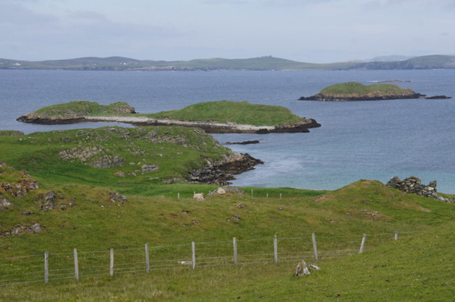
Ayre of Scudillswick is a picturesque beach located in the Shetland Islands, an archipelago off the northeast coast of Scotland. Situated on the east coast of the main island, it is a hidden gem known for its natural beauty and tranquility.

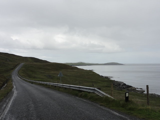
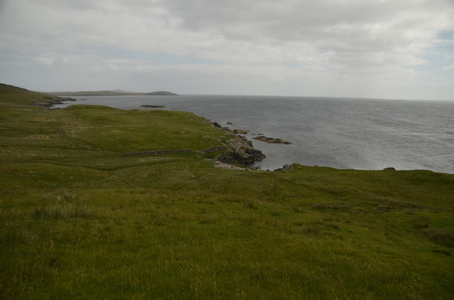
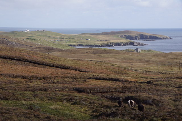
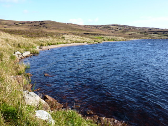
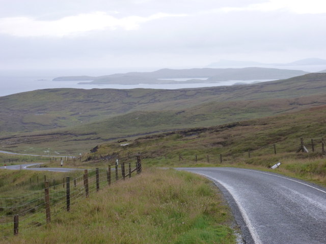
The beach is characterized by its pristine white sands and crystal-clear turquoise waters, which provide a stunning contrast against the rugged cliffs that surround it. With a backdrop of rolling green hills, Ayre of Scudillswick offers visitors a breathtaking view of the Shetland landscape.

The beach is relatively secluded, ensuring a peaceful and undisturbed experience for those who venture here. It is perfect for those seeking solitude or a romantic getaway. The absence of crowds and noise allows for a serene atmosphere, making it an ideal spot for relaxation or quiet contemplation.

Nature enthusiasts will appreciate the diverse wildlife that can be observed at Ayre of Scudillswick. Seals are often spotted basking on the nearby rocks, while a variety of seabirds can be seen soaring above the cliffs. The beach is also home to a rich marine ecosystem, making it an excellent location for snorkeling or diving.

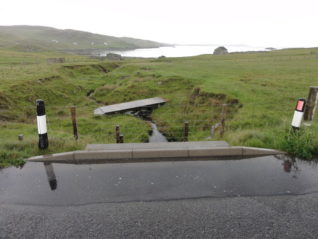
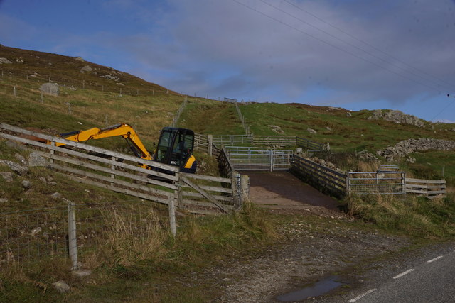
Access to Ayre of Scudillswick is relatively easy, with a car park located nearby. From there, a short walk along a well-maintained path leads to the beach. Visitors should be aware that facilities are limited, so it is advisable to bring any necessary supplies.

Overall, Ayre of Scudillswick is a hidden gem in the Shetland Islands, offering visitors a peaceful and unspoiled natural environment that is sure to leave a lasting impression.

If you have any feedback on the listing, please let us know in the comments section below.

Ayre of Scudillswick Images

Images are sourced within 2km of 60.289161/-1.1434796 or Grid Reference HU4756. Thanks to Geograph Open Source API. All images are credited.

Burn of Grunnawater Small road bridge over the Burn of Grunnawater
Burn of Grunnawater
Small road bridge over the Burn of Grunnawater
Muckle Ayre View out to the sea at Muckle Ayre
Muckle Ayre
View out to the sea at Muckle Ayre
Coastal road View along the B9075 road
Coastal road
View along the B9075 road
Boadie Geo, South Nesting, Shetland Part of the coastline on the east coast of mainland Shetland
Boadie Geo, South Nesting, Shetland
Part of the coastline on the east coast of mainland Shetland
Grunna Taing, South Nesting
Kirkabister and Hill of Neap from Mossy Hill, Nesting
Boadie Geo, South Nesting
Digger at Clubb of Newing, South Nesting
New comms mast at Kirk Ward, Nesting
Loch of Bellister, Nesting Some of the plant for the initial phases of the controversial Viking Energy wind farm can be seen on the peat at the far end of the loch.
Loch of Bellister, Nesting
Some of the plant for the initial phases of the controversial Viking Energy wind farm can be seen on the peat at the far end of the loch.
Loch of Skellister A shingly bay on the NW shore of the Loch of Skellister.
Loch of Skellister
A shingly bay on the NW shore of the Loch of Skellister.
Loch of Skellister A bright and breezy day shows how this beach was formed on the Loch of Skellister.
Loch of Skellister
A bright and breezy day shows how this beach was formed on the Loch of Skellister.
Brettabister: the B9075 approaches from the north Looking along the B9075 as it heads towards Brettabister from Laxo; having just come over Mossy Hill it's downhill virtually all the way from here into the village.
Brettabister: the B9075 approaches from the north
Looking along the B9075 as it heads towards Brettabister from Laxo; having just come over Mossy Hill it's downhill virtually all the way from here into the village.
Brettabister: postbox № ZE2 60 A small postbox on the B9075, emptied at 9:30 on weekday and Saturday mornings.
Brettabister: postbox № ZE2 60
A small postbox on the B9075, emptied at 9:30 on weekday and Saturday mornings.
Brettabister: the B9075 heads for Laxo Looking west at this point, but actually northbound, on the B9075 as it leaves Brettabister and ascends Mossy Hill on its way to Laxo.
Brettabister: the B9075 heads for Laxo
Looking west at this point, but actually northbound, on the B9075 as it leaves Brettabister and ascends Mossy Hill on its way to Laxo.
Brettabister: the war memorial The war memorial for North Nesting parish stands on Lambs Knowe, a craggy slope in the hamlet of Brettabister. South Nesting Bay is in the background.
Brettabister: the war memorial
The war memorial for North Nesting parish stands on Lambs Knowe, a craggy slope in the hamlet of Brettabister. South Nesting Bay is in the background.
Calf Holm, East Voe of Skellister From Skellister.
Calf Holm, East Voe of Skellister
From Skellister.
Corn Holm, off Brough, South Nesting Further out is Cunning Holm.
Corn Holm, off Brough, South Nesting
Further out is Cunning Holm.
Show me another place!

Ayre of Scudillswick is located at Grid Ref: HU4756 (Lat: 60.289161, Lng: -1.1434796)

Unitary Authority: Shetland Islands

Police Authority: Highlands and Islands

What 3 Words

///reflect.shoppers.rewrites. Near Symbister, Shetland Islands

Related Wikis

Brettabister

Brettabister is a settlement on the island of Mainland in Shetland, Scotland. It is in the parish of Nesting. St. Ola's parish church lies to the east...

Nesting, Shetland

Nesting is a parish in the Shetland Islands, Scotland. It includes a part of the east Shetland Mainland, measuring about twelve by four miles (19 by 6...

Geopark Shetland

Geopark Shetland is the name used by the Geopark formally established in September 2009 on its entry into the European Geoparks Network. The Geopark extends...

RAF Catfirth

RAF Catfirth was a First World War seaplane base located on the island of Mainland in the Shetland Islands, Scotland. The base was under the control of...

Freester

Freester is a settlement on Mainland, Shetland, Scotland. It is in the parish of Nesting. == References == == External links == Canmore - Hard Knowe site...

Neap

Neap is a small village in the east coast of the Mainland of the Shetland Islands, Scotland. Neap is situated at the end of the road from Brettabister...

Billister

Billister is a settlement in the parish of Nesting, on the island of Mainland, in Shetland, Scotland. It is on Lax Firth. Billister was formerly the terminal...

Viking Wind Farm

Viking Wind Farm is a large on-shore wind farm under construction in the Shetland Islands which is being developed by Viking Energy, a partnership between...

Nearby Amenities

Located within 500m of 60.289161,-1.1434796
Power: pole
Lat/Long: 60.2925973/-1.1387718
Power: pole
Lat/Long: 60.2922818/-1.1397543
Power: pole
Lat/Long: 60.291929/-1.1408846
Power: pole
Lat/Long: 60.2915469/-1.1421013
Power: pole
Lat/Long: 60.291264/-1.1430064
Power: pole
Lat/Long: 60.2909315/-1.1440594
Power: pole
Lat/Long: 60.2903635/-1.1449964
Power: pole
Lat/Long: 60.2897627/-1.1459675
Power: pole
Lat/Long: 60.2892814/-1.1467521
Power: pole
Lat/Long: 60.288764/-1.1475662
Power: pole
Lat/Long: 60.2883481/-1.1485419
Power: pole
Lat/Long: 60.2878837/-1.1493788
Power: pole
Lat/Long: 60.2875422/-1.1499769
Power: pole
Lat/Long: 60.2869312/-1.1505955
The data included in this document is from www.openstreetmap.org. The data is made available under ODbL.

Have you been to Ayre of Scudillswick?

Leave your review of Ayre of Scudillswick below (or comments, questions and feedback).