Black Skerry

Island in Shetland

Scotland

Black Skerry

Muckle Ayre View out to the sea at Muckle Ayre
Muckle Ayre Credit: Mat Tuck

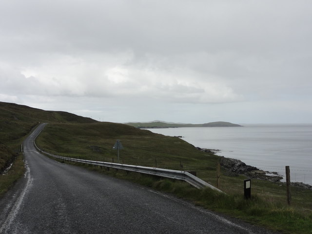
Black Skerry is a small island located off the coast of Shetland, an archipelago in Scotland. It is situated in the North Sea, approximately 1.5 kilometers northeast of the larger island of Papa Stour. The island is privately owned and uninhabited, making it a secluded and peaceful destination for nature enthusiasts.

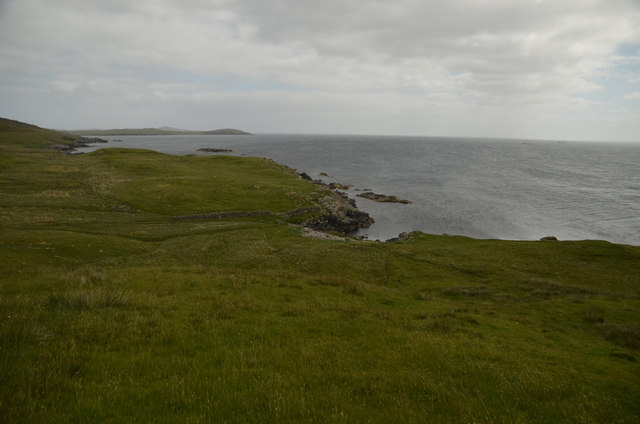
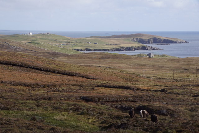
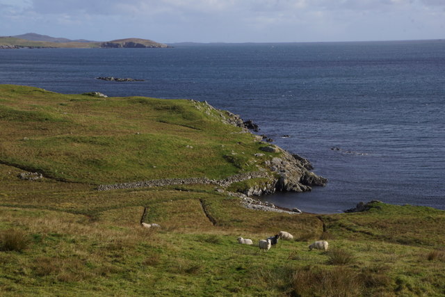
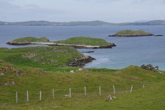
Black Skerry is known for its rugged and dramatic coastline, characterized by towering cliffs and sea stacks. The island is relatively small, measuring around 0.2 square kilometers in size, and is mainly composed of rocky terrain. The highest point on the island reaches only about 30 meters above sea level.

The surrounding waters of Black Skerry are teeming with marine life, making it a popular spot for birdwatchers and wildlife enthusiasts. Seabirds such as puffins, guillemots, and kittiwakes can be observed nesting along the cliffs, while seals and otters are often spotted in the surrounding waters.

Access to Black Skerry is only possible by boat, as there are no regular ferry services to the island. Visitors can arrange private boat trips from nearby Papa Stour or other Shetland islands to explore the island's natural beauty and enjoy its tranquil atmosphere. However, it is important to note that due to its status as private property, camping and overnight stays are not permitted on the island.

Overall, Black Skerry offers a unique opportunity to experience the untouched beauty of the Shetland Islands, with its dramatic cliffs, diverse birdlife, and serene surroundings.

If you have any feedback on the listing, please let us know in the comments section below.
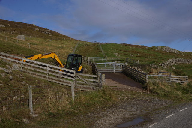
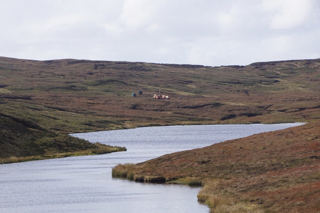
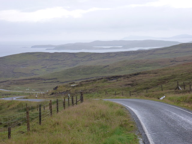
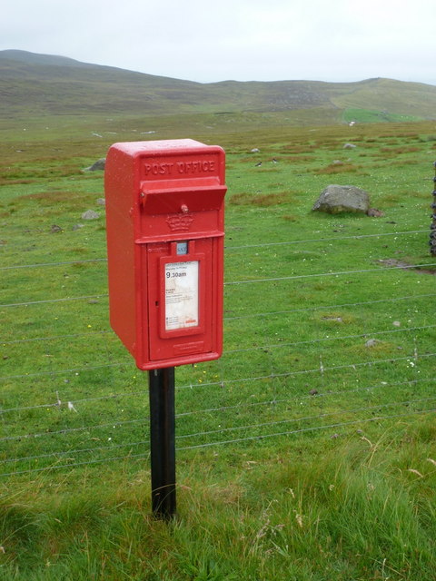
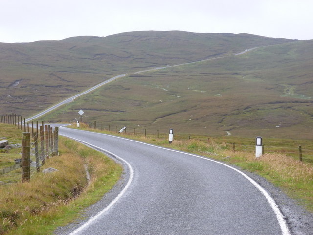
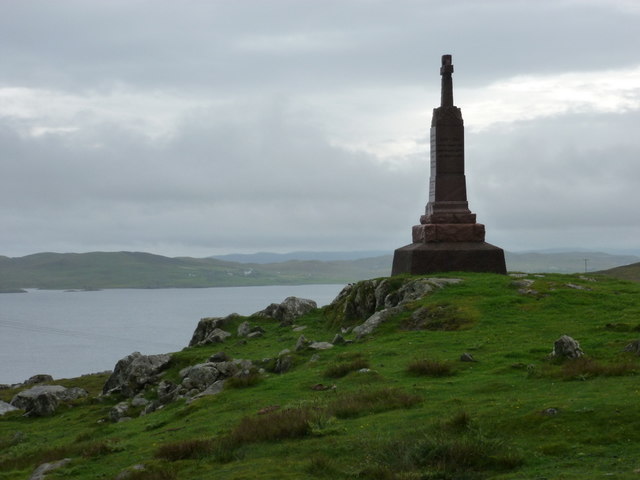
Black Skerry Images

Images are sourced within 2km of 60.292151/-1.1351712 or Grid Reference HU4756. Thanks to Geograph Open Source API. All images are credited.

Muckle Ayre View out to the sea at Muckle Ayre
Muckle Ayre
View out to the sea at Muckle Ayre
Coastal road View along the B9075 road
Coastal road
View along the B9075 road
Vegetation by old quarry Vegetation growing by old quarry.
Vegetation by old quarry
Vegetation growing by old quarry.
Boadie Geo, South Nesting, Shetland Part of the coastline on the east coast of mainland Shetland
Boadie Geo, South Nesting, Shetland
Part of the coastline on the east coast of mainland Shetland
Grunna Taing, South Nesting
Kirkabister and Hill of Neap from Mossy Hill, Nesting
Boadie Geo, South Nesting
Digger at Clubb of Newing, South Nesting
New comms mast at Kirk Ward, Nesting
Loch of Bellister, Nesting Some of the plant for the initial phases of the controversial Viking Energy wind farm can be seen on the peat at the far end of the loch.
Loch of Bellister, Nesting
Some of the plant for the initial phases of the controversial Viking Energy wind farm can be seen on the peat at the far end of the loch.
Loch of Skellister A bright and breezy day shows how this beach was formed on the Loch of Skellister.
Loch of Skellister
A bright and breezy day shows how this beach was formed on the Loch of Skellister.
Brettabister: the B9075 approaches from the north Looking along the B9075 as it heads towards Brettabister from Laxo; having just come over Mossy Hill it's downhill virtually all the way from here into the village.
Brettabister: the B9075 approaches from the north
Looking along the B9075 as it heads towards Brettabister from Laxo; having just come over Mossy Hill it's downhill virtually all the way from here into the village.
Brettabister: postbox № ZE2 60 A small postbox on the B9075, emptied at 9:30 on weekday and Saturday mornings.
Brettabister: postbox № ZE2 60
A small postbox on the B9075, emptied at 9:30 on weekday and Saturday mornings.
Brettabister: the B9075 heads for Laxo Looking west at this point, but actually northbound, on the B9075 as it leaves Brettabister and ascends Mossy Hill on its way to Laxo.
Brettabister: the B9075 heads for Laxo
Looking west at this point, but actually northbound, on the B9075 as it leaves Brettabister and ascends Mossy Hill on its way to Laxo.
Brettabister: the war memorial The war memorial for North Nesting parish stands on Lambs Knowe, a craggy slope in the hamlet of Brettabister. South Nesting Bay is in the background.
Brettabister: the war memorial
The war memorial for North Nesting parish stands on Lambs Knowe, a craggy slope in the hamlet of Brettabister. South Nesting Bay is in the background.
View across South Nesting Bay towards Noss
Corn Holm, off Brough, South Nesting Further out is Cunning Holm.
Corn Holm, off Brough, South Nesting
Further out is Cunning Holm.
Looking south down B9075 After a day of showers on Unst, Yell and Whalsay, the sun came out as I drove south to Lerwick.  The grey distant hills are on Noss (far left) and Ward Hill, Bressay (far right).
Looking south down B9075
After a day of showers on Unst, Yell and Whalsay, the sun came out as I drove south to Lerwick. The grey distant hills are on Noss (far left) and Ward Hill, Bressay (far right).
Show me another place!

Black Skerry is located at Grid Ref: HU4756 (Lat: 60.292151, Lng: -1.1351712)

Unitary Authority: Shetland Islands

Police Authority: Highlands and Islands

What 3 Words

///gilding.exact.mocking. Near Symbister, Shetland Islands

Related Wikis

Brettabister

Brettabister is a settlement on the island of Mainland in Shetland, Scotland. It is in the parish of Nesting. St. Ola's parish church lies to the east...

Nesting, Shetland

Nesting is a parish in the Shetland Islands, Scotland. It includes a part of the east Shetland Mainland, measuring about twelve by four miles (19 by 6...

Neap

Neap is a small village in the east coast of the Mainland of the Shetland Islands, Scotland. Neap is situated at the end of the road from Brettabister...

Billister

Billister is a settlement in the parish of Nesting, on the island of Mainland, in Shetland, Scotland. It is on Lax Firth. Billister was formerly the terminal...

Geopark Shetland

Geopark Shetland is the name used by the Geopark formally established in September 2009 on its entry into the European Geoparks Network. The Geopark extends...

RAF Catfirth

RAF Catfirth was a First World War seaplane base located on the island of Mainland in the Shetland Islands, Scotland. The base was under the control of...

Freester

Freester is a settlement on Mainland, Shetland, Scotland. It is in the parish of Nesting. == References == == External links == Canmore - Hard Knowe site...

Viking Wind Farm

Viking Wind Farm is a large on-shore wind farm under construction in the Shetland Islands which is being developed by Viking Energy, a partnership between...

Nearby Amenities

Located within 500m of 60.292151,-1.1351712
Power: pole
Lat/Long: 60.2963209/-1.1333023
Power: pole
Lat/Long: 60.2958171/-1.1335479
Power: pole
Lat/Long: 60.2950474/-1.1339231
Power: pole
Lat/Long: 60.294351/-1.1342393
Power: pole
Lat/Long: 60.2939723/-1.1349898
Power: pole
Lat/Long: 60.2935339/-1.135854
Power: pole
Lat/Long: 60.2932871/-1.1365908
Power: pole
Lat/Long: 60.2928351/-1.1380372
Power: pole
Lat/Long: 60.2925973/-1.1387718
Power: pole
Lat/Long: 60.2922818/-1.1397543
Power: pole
Lat/Long: 60.291929/-1.1408846
Power: pole
Lat/Long: 60.2915469/-1.1421013
Power: pole
Lat/Long: 60.291264/-1.1430064
The data included in this document is from www.openstreetmap.org. The data is made available under ODbL.

Have you been to Black Skerry?

Leave your review of Black Skerry below (or comments, questions and feedback).