Croga
Island in Shetland
Scotland
Croga
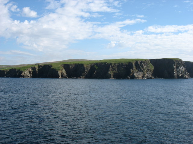
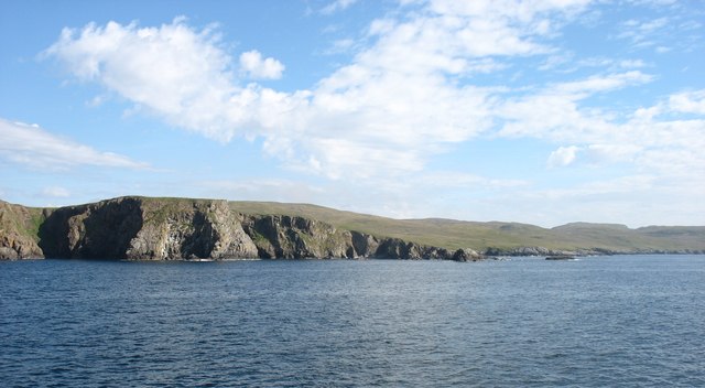
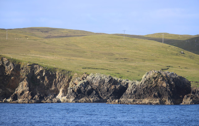
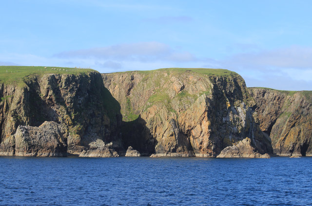
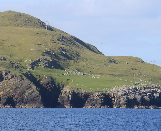
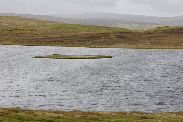
Croga is a small island located in the Shetland archipelago, which is situated off the northeast coast of Scotland. It is one of the many islands that make up the Shetland Islands, known for their rugged landscapes, rich history, and diverse wildlife. Croga is situated between the larger islands of Yell and Fetlar, and covers an area of around 4 square kilometers.
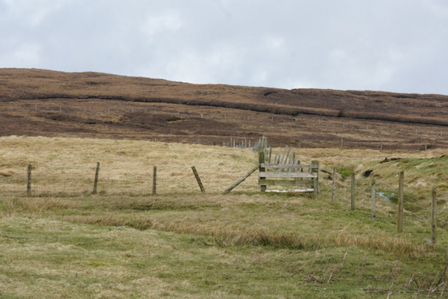
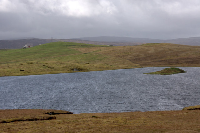
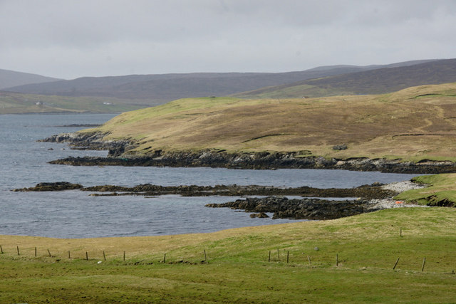
Despite its small size, Croga boasts stunning natural beauty. The island is characterized by rolling hills, rocky cliffs, and picturesque beaches. The coastline is dotted with sea stacks and caves, providing a haven for seabirds such as puffins, gannets, and kittiwakes. Additionally, seals and otters can often be spotted in the surrounding waters.
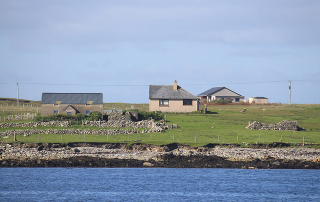
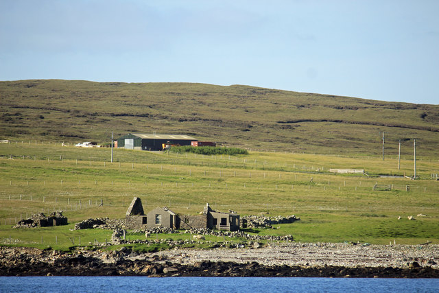
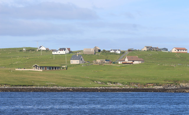
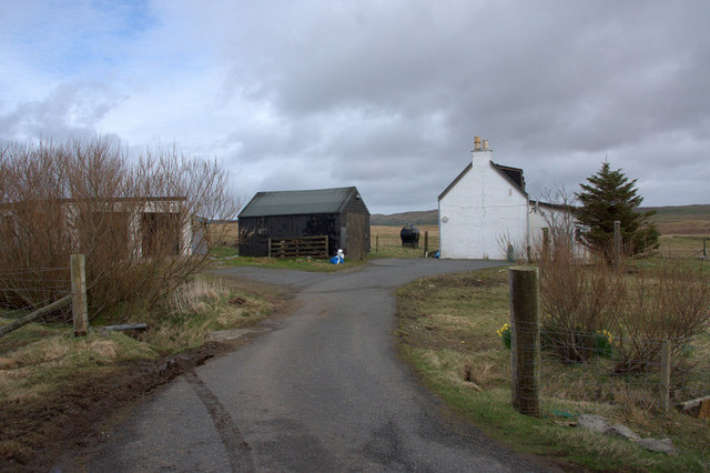
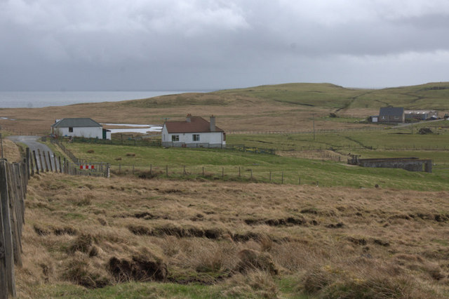
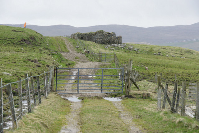
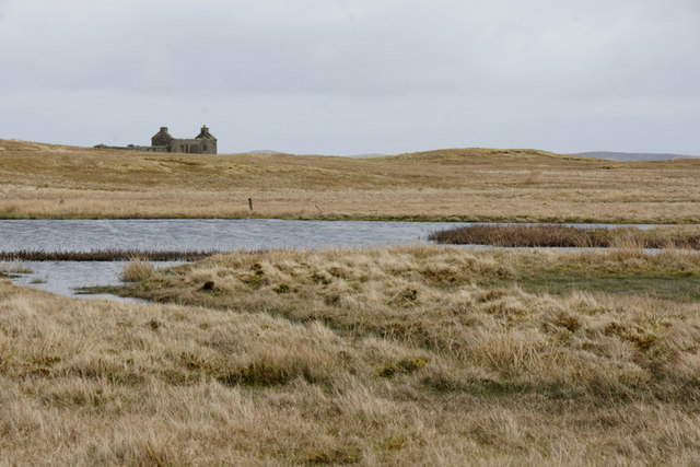
Croga has a sparse population, with only a handful of residents who mainly engage in traditional occupations such as fishing and crofting. The island is accessible only by boat, adding to its secluded charm. There are no shops or amenities on Croga, so visitors are advised to bring their own supplies.
For those seeking outdoor adventures, Croga offers excellent opportunities for hiking, birdwatching, and photography. The island is also a popular spot for fishing and wildlife enthusiasts due to its rich marine life. Visitors can explore the island's trails and enjoy panoramic views of the surrounding landscapes.
In conclusion, Croga is a small, secluded island in the Shetland archipelago, known for its rugged beauty, diverse wildlife, and tranquil atmosphere. It is a place where visitors can escape the hustle and bustle of daily life and immerse themselves in the raw natural splendor of the Shetland Islands.
If you have any feedback on the listing, please let us know in the comments section below.
Croga Images
Images are sourced within 2km of 60.34904/-1.1334123 or Grid Reference HU4763. Thanks to Geograph Open Source API. All images are credited.
Croga is located at Grid Ref: HU4763 (Lat: 60.34904, Lng: -1.1334123)
Unitary Authority: Shetland Islands
Police Authority: Highlands and Islands
What 3 Words
///tastings.possibly.peroxide. Near Vidlin, Shetland Islands
Nearby Locations
Related Wikis

Vidlin
Vidlin (from Old Norse: Vaðill meaning a ford) is a small village located on Mainland, Shetland, Scotland. The settlement is within the parish of Nesting...

Billister
Billister is a settlement in the parish of Nesting, on the island of Mainland, in Shetland, Scotland. It is on Lax Firth. Billister was formerly the terminal...

Laxo
Laxo is a small settlement at the end of Laxo Voe in Vidlin, Shetland, Scotland. A ferry from the Mainland to Symbister in Whalsay operates from the nearby...

Little Linga
Little Linga is a small island in the Shetland Islands. It is near West Linga and Vidlin on Mainland, Shetland. It is 20 metres (66 ft) at its highest...

Neap
Neap is a small village in the east coast of the Mainland of the Shetland Islands, Scotland. Neap is situated at the end of the road from Brettabister...

Nesting, Shetland
Nesting is a parish in the Shetland Islands, Scotland. It includes a part of the east Shetland Mainland, measuring about twelve by four miles (19 by 6...

Brettabister
Brettabister is a settlement on the island of Mainland in Shetland, Scotland. It is in the parish of Nesting. St. Ola's parish church lies to the east...

West Linga
West Linga is an uninhabited island located between Mainland and Whalsay in Shetland, Scotland. == Geography and geology == West Linga is a long narrow...
Have you been to Croga?
Leave your review of Croga below (or comments, questions and feedback).