Skerries of Watsness
Island in Shetland
Scotland
Skerries of Watsness
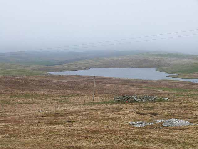
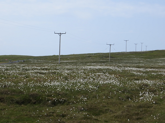
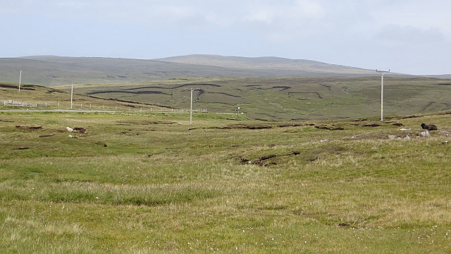
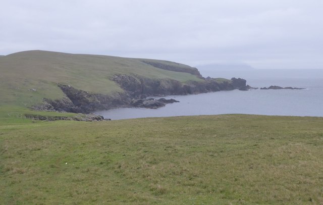
The Skerries of Watsness is a group of small islands located off the coast of Shetland, an archipelago in Scotland. Situated in the North Atlantic Ocean, these islands are known for their rugged and picturesque landscapes, rich wildlife, and historical significance.
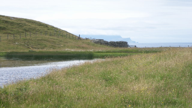
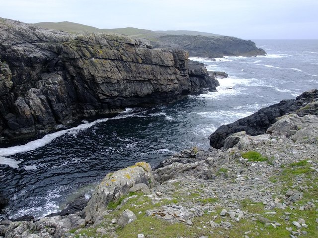
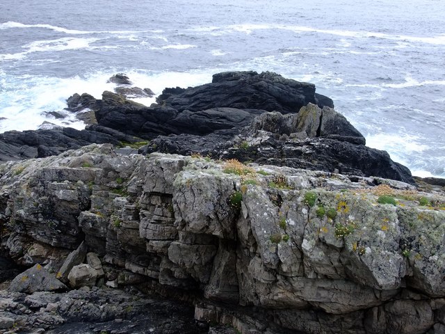
The Skerries consist of several islets, with the largest ones being Housay, Bruray, and Little Skerry. These islands are characterized by their rocky shores, towering cliffs, and grassy hills. The surrounding waters are home to an array of marine life, including seals, otters, and numerous seabird species such as puffins, guillemots, and kittiwakes. This makes the Skerries a popular destination for birdwatchers and nature enthusiasts.
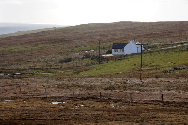
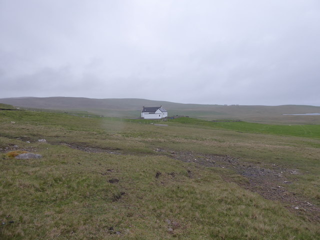
In addition to its natural beauty, the Skerries also hold historical importance. Housay, the main island, was once inhabited by a small community of fishermen and their families. The remnants of their dwellings, known as "haa houses," can still be seen today. Visitors can explore these ruins and gain insight into the lives of the people who once called the Skerries home.
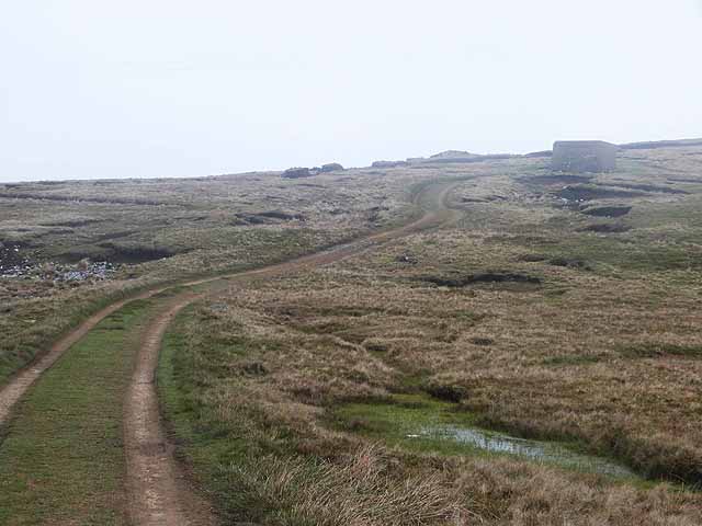
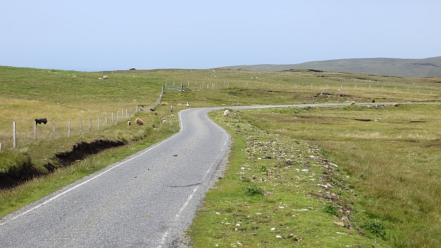
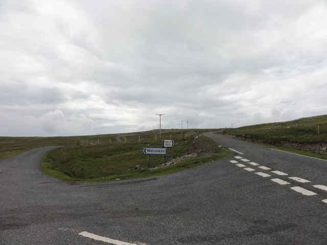
Access to the Skerries of Watsness is primarily by boat, with regular ferry services available from the nearby mainland. There are also opportunities for guided tours and day trips, allowing visitors to fully experience the breathtaking scenery and observe the diverse wildlife that thrives in this remote and unspoiled corner of Shetland.
If you have any feedback on the listing, please let us know in the comments section below.
Skerries of Watsness Images
Images are sourced within 2km of 60.234513/-1.6920098 or Grid Reference HU1750. Thanks to Geograph Open Source API. All images are credited.


Skerries of Watsness is located at Grid Ref: HU1750 (Lat: 60.234513, Lng: -1.6920098)
Unitary Authority: Shetland Islands
Police Authority: Highlands and Islands
What 3 Words
///hammocks.acoustics.retina. Near Walls, Shetland Islands
Nearby Locations
Related Wikis

Burrastow
Burrastow is a location on the west shore of Vaila Sound near the village of Walls on the Shetland Mainland, Scotland. There are two small piers and the...

Walls, Shetland
Walls, known locally as Waas (Old Norse: Vagar = "Sheltered Bays" (voes) - the Ordnance Survey added the "ll" as they thought it was a corruption of "walls...

Linga, Vaila Sound
Linga is one of the Shetland Islands, near Vaila and Walls on Mainland, Shetland. Its highest elevation is 28 metres (91 ft). In 2014 and 2018 it was...
Vaila
Vaila (Old Norse: "Valey") is an island in Shetland, Scotland, lying south of the Westland peninsula of the Shetland Mainland. It has an area of 327 hectares...
Have you been to Skerries of Watsness?
Leave your review of Skerries of Watsness below (or comments, questions and feedback).