Silde Geo
Coastal Feature, Headland, Point in Shetland
Scotland
Silde Geo
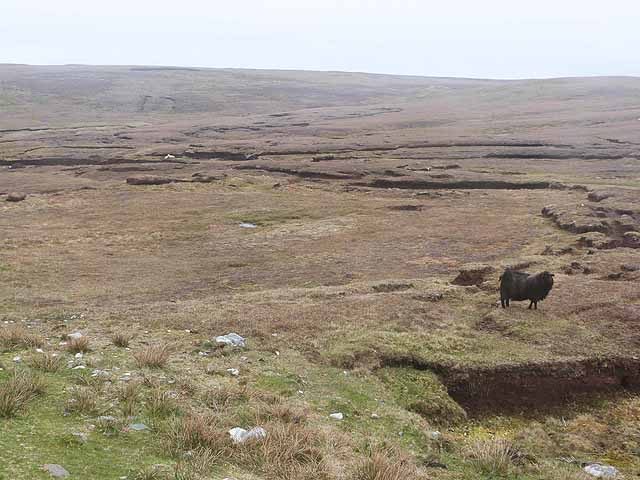
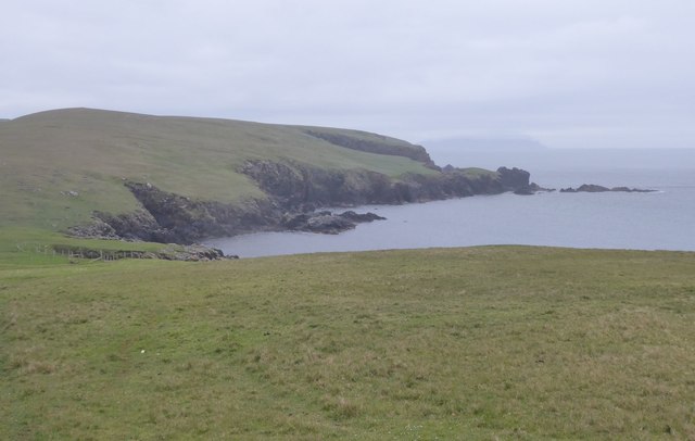
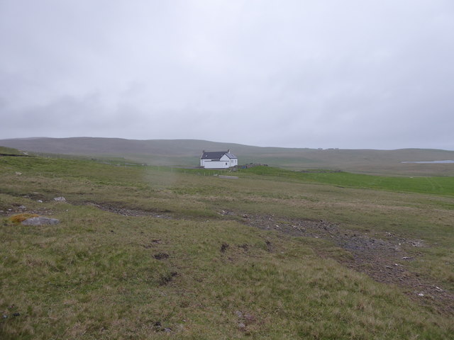
Sile Geo is a prominent coastal feature located on the island of Shetland, Scotland. It is classified as a headland, specifically a point that juts out into the North Sea. The name "Sile Geo" is derived from the Old Norse language, with "sile" meaning "gravel" and "geo" referring to a narrow inlet or cove.
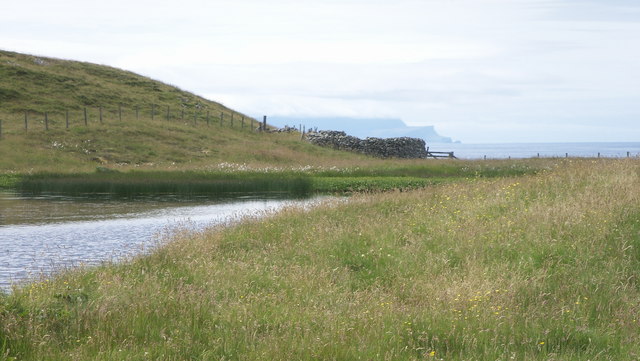
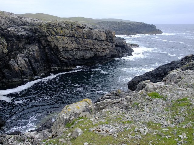
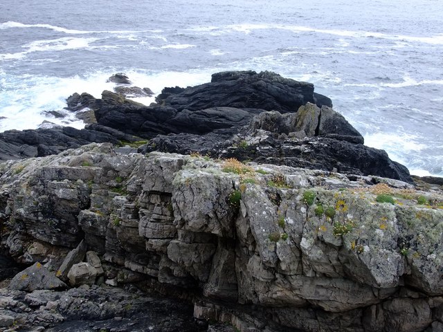
This headland is characterized by its dramatic cliffs, which rise steeply from the surrounding shoreline. The cliffs are composed of layers of sedimentary rock, showcasing different geological formations and providing important insights into the region's geological history. The exposed rock formations at Sile Geo are particularly fascinating for geologists and visitors alike.
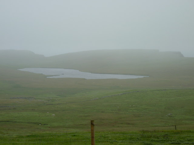
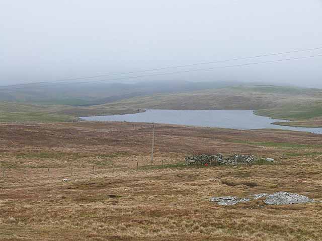
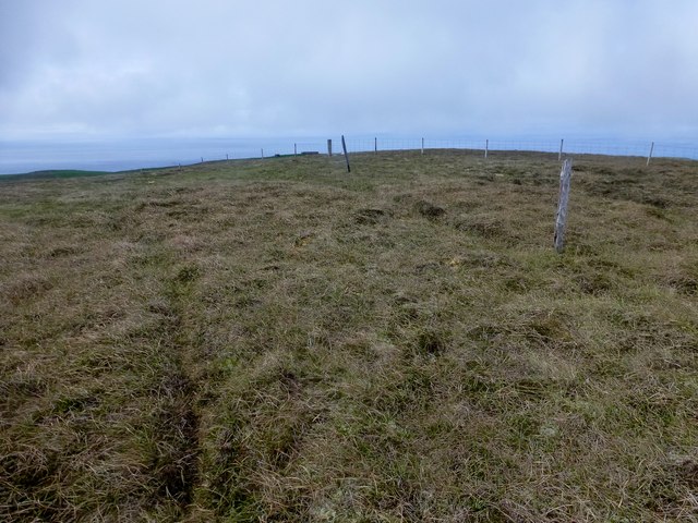
The headland offers breathtaking views of the surrounding coastline, with sweeping vistas of the North Sea and the rugged landscape of Shetland. It is also a popular spot for birdwatching, as numerous seabirds can be spotted nesting on the cliffs during the breeding season. Species such as puffins, guillemots, and fulmars can often be observed, providing a unique opportunity for nature enthusiasts and photographers.
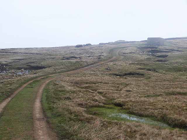
Access to Sile Geo is relatively easy, with a well-maintained path leading visitors to the headland. However, caution is advised when approaching the cliff edges, as they can be unstable and dangerous. Visitors are encouraged to adhere to safety guidelines and respect the natural environment.
Overall, Sile Geo is a captivating coastal feature in Shetland, offering a glimpse into the region's geological past and providing a stunning backdrop for nature lovers and explorers.
If you have any feedback on the listing, please let us know in the comments section below.
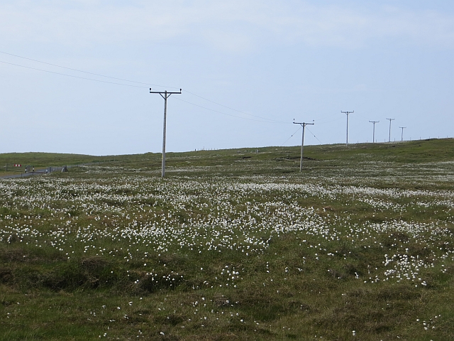
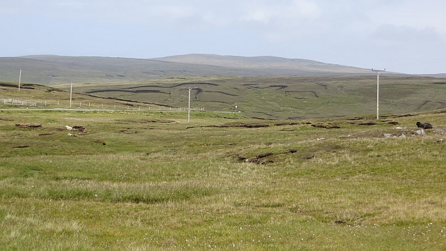
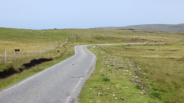
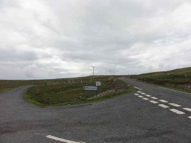
Silde Geo Images
Images are sourced within 2km of 60.234188/-1.6873003 or Grid Reference HU1750. Thanks to Geograph Open Source API. All images are credited.

Silde Geo is located at Grid Ref: HU1750 (Lat: 60.234188, Lng: -1.6873003)
Unitary Authority: Shetland Islands
Police Authority: Highlands and Islands
What 3 Words
///tonality.jammy.quantity. Near Walls, Shetland Islands
Nearby Locations
Related Wikis

Burrastow
Burrastow is a location on the west shore of Vaila Sound near the village of Walls on the Shetland Mainland, Scotland. There are two small piers and the...

Walls, Shetland
Walls, known locally as Waas (Old Norse: Vagar = "Sheltered Bays" (voes) - the Ordnance Survey added the "ll" as they thought it was a corruption of "walls...

Linga, Vaila Sound
Linga is one of the Shetland Islands, near Vaila and Walls on Mainland, Shetland. Its highest elevation is 28 metres (91 ft). In 2014 and 2018 it was...
Vaila
Vaila (Old Norse: "Valey") is an island in Shetland, Scotland, lying south of the Westland peninsula of the Shetland Mainland. It has an area of 327 hectares...
Have you been to Silde Geo?
Leave your review of Silde Geo below (or comments, questions and feedback).