Mea Geo
Coastal Feature, Headland, Point in Shetland
Scotland
Mea Geo
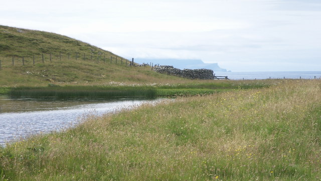
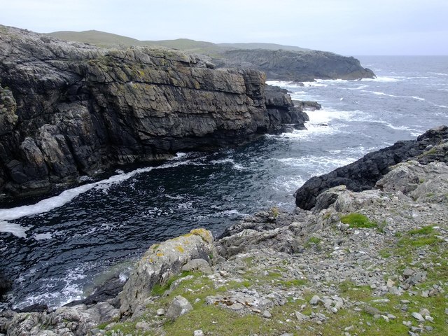
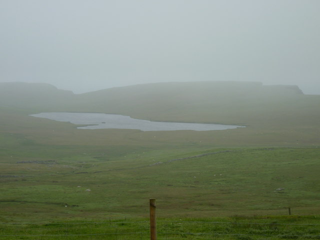
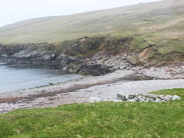
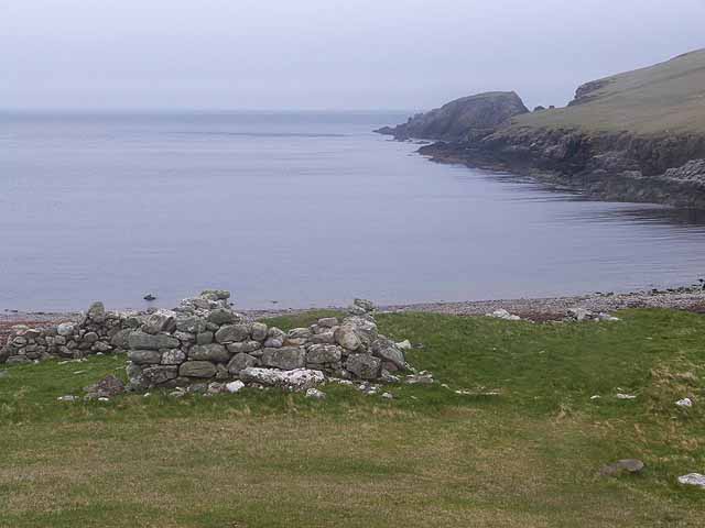
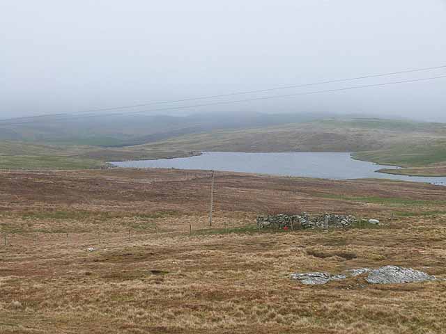
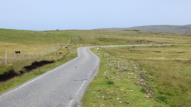
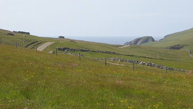
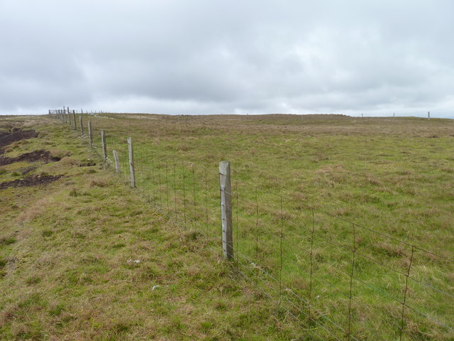
Mea Geo is a prominent coastal feature located on the Shetland Islands, an archipelago in the North Atlantic Ocean. Specifically, it is a headland or point that juts out into the sea, offering stunning views of the surrounding landscape. Mea Geo is situated on the west coast of the main island, known as Mainland, and is recognized for its rugged cliffs and dramatic scenery.
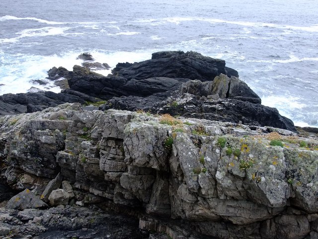
The headland is characterized by its steep cliffs, which reach heights of up to 100 meters (328 feet) above sea level. These cliffs are composed of sedimentary rocks, such as sandstone and shale, which have been shaped and eroded by the relentless force of the ocean. The result is a striking geological formation that showcases the power and beauty of nature.
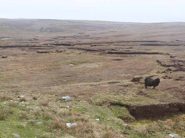
Mea Geo is also home to a diverse range of flora and fauna. The cliff faces provide nesting sites for various seabirds, including puffins, guillemots, and kittiwakes. In addition, the surrounding coastal waters are teeming with marine life, making it a popular spot for fishing and wildlife watching.
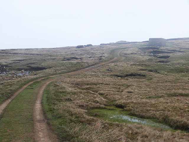
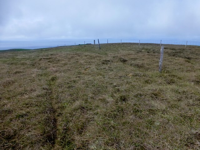
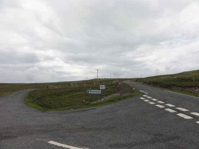
For visitors, Mea Geo offers a chance to experience the untamed beauty of the Shetland Islands. The headland can be accessed via a walking trail that winds along the coastline, allowing hikers to take in the awe-inspiring views and immerse themselves in the natural surroundings. Whether it's the rugged cliffs, the crashing waves, or the abundant wildlife, Mea Geo is a must-see destination for nature enthusiasts and adventure seekers alike.
If you have any feedback on the listing, please let us know in the comments section below.
Mea Geo Images
Images are sourced within 2km of 60.238182/-1.6905849 or Grid Reference HU1750. Thanks to Geograph Open Source API. All images are credited.


Mea Geo is located at Grid Ref: HU1750 (Lat: 60.238182, Lng: -1.6905849)
Unitary Authority: Shetland Islands
Police Authority: Highlands and Islands
What 3 Words
///arrive.emerald.cork. Near Walls, Shetland Islands
Nearby Locations
Related Wikis

Burrastow
Burrastow is a location on the west shore of Vaila Sound near the village of Walls on the Shetland Mainland, Scotland. There are two small piers and the...

Walls, Shetland
Walls, known locally as Waas (Old Norse: Vagar = "Sheltered Bays" (voes) - the Ordnance Survey added the "ll" as they thought it was a corruption of "walls...

Sandness
Sandness (the "d" is not pronounced locally) is a headland and district in the west of Shetland Mainland, Scotland. Sandness was a civil parish, which...

Linga, Vaila Sound
Linga is one of the Shetland Islands, near Vaila and Walls on Mainland, Shetland. Its highest elevation is 28 metres (91 ft). In 2014 and 2018 it was...
Nearby Amenities
Located within 500m of 60.238182,-1.6905849Have you been to Mea Geo?
Leave your review of Mea Geo below (or comments, questions and feedback).