The Pallians
Island in Shetland
Scotland
The Pallians
The Pallians is a small village located on the island of Shetland, which is situated in the North Atlantic Ocean, approximately 170 kilometers north of mainland Scotland. Shetland is an archipelago of about 100 islands, with the largest and most populous being the mainland island, also known as Mainland.
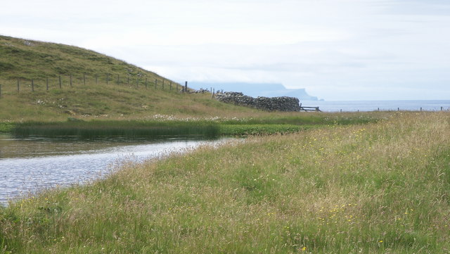
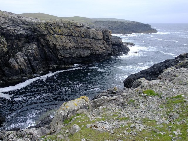
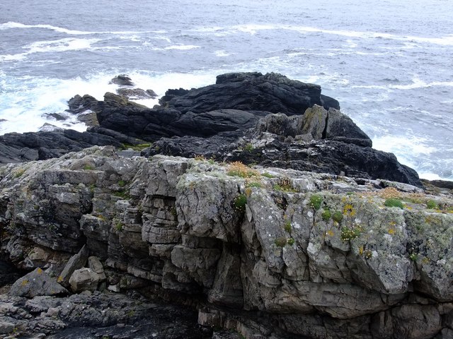
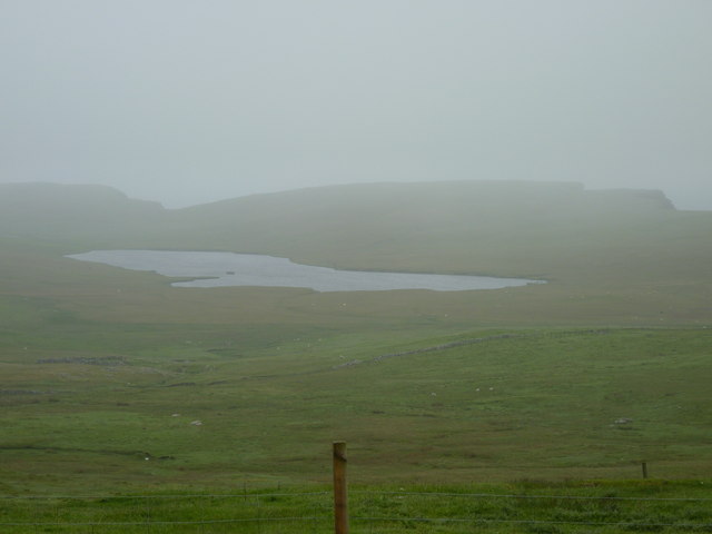
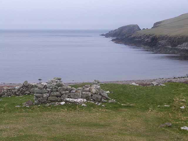
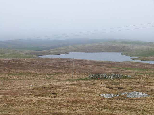
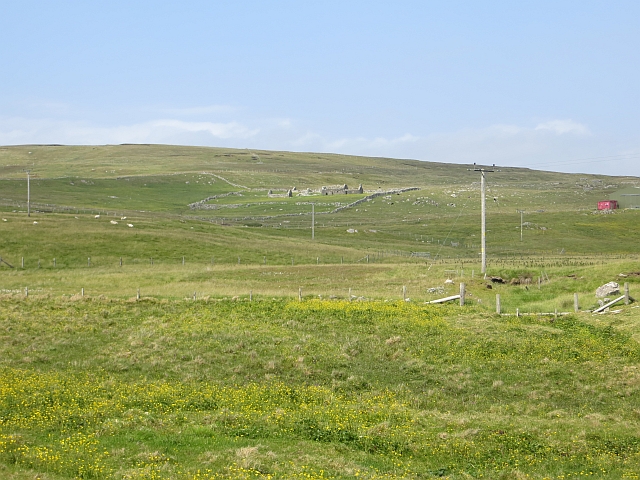
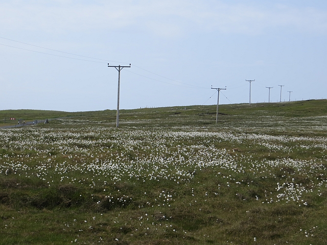
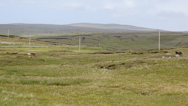
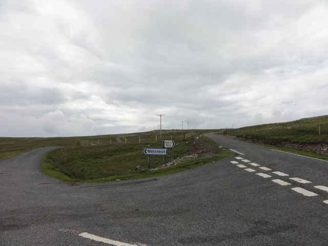
The Pallians, with its picturesque setting, is nestled on the western coast of Mainland, surrounded by stunning natural beauty. The village offers breathtaking views of the rugged coastline, with cliffs and sea stacks that showcase the raw power of the North Sea.
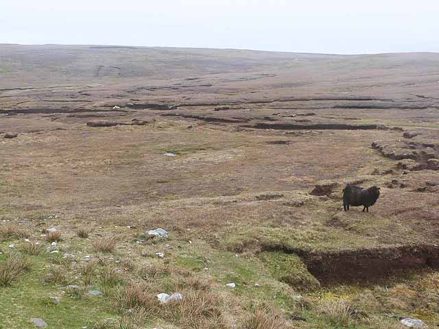
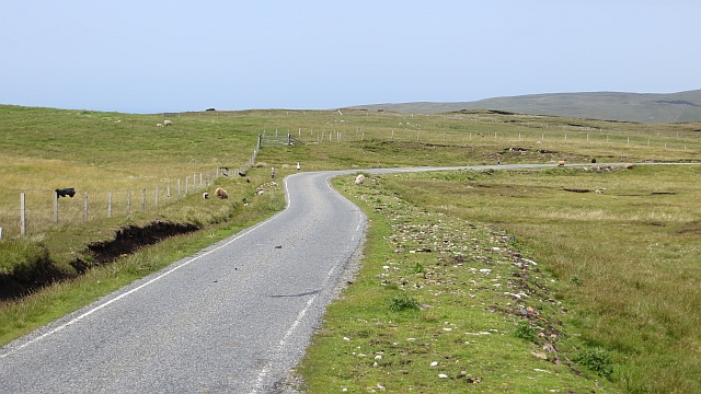
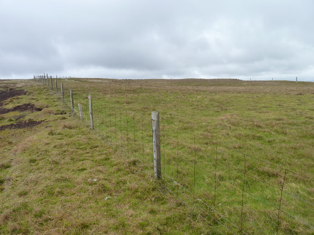
With a population of around 200 residents, The Pallians maintains a close-knit community atmosphere. The village is primarily residential, with a few small businesses catering to the locals and visitors. The main economic activities in the area are fishing, agriculture, and tourism.
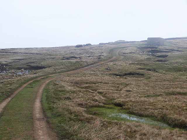
The Pallians is an ideal location for outdoor enthusiasts, offering a range of activities such as hiking, birdwatching, and fishing. The nearby cliffs are home to various seabird colonies, including puffins, guillemots, and razorbills, making it a popular spot for birdwatchers.
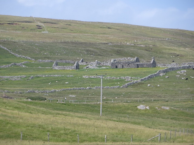
Visitors to The Pallians can also explore the surrounding areas, which are rich in archaeological sites and historical landmarks. The village is in close proximity to the notable Mousa Broch, an Iron Age tower that stands as one of the best-preserved examples of its kind in Scotland.
Overall, The Pallians on Shetland Island provides a tranquil and scenic destination for nature lovers and those seeking a peaceful retreat amidst the stunning landscapes of the North Atlantic.
If you have any feedback on the listing, please let us know in the comments section below.
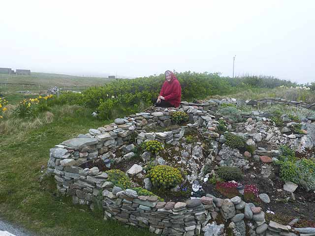
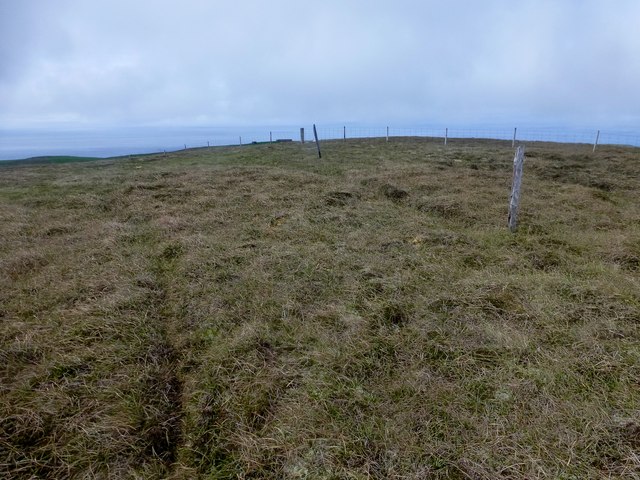
The Pallians Images
Images are sourced within 2km of 60.235892/-1.6827879 or Grid Reference HU1750. Thanks to Geograph Open Source API. All images are credited.

The Pallians is located at Grid Ref: HU1750 (Lat: 60.235892, Lng: -1.6827879)
Unitary Authority: Shetland Islands
Police Authority: Highlands and Islands
What 3 Words
///sweeten.asset.variation. Near Walls, Shetland Islands
Nearby Locations
Related Wikis

Burrastow
Burrastow is a location on the west shore of Vaila Sound near the village of Walls on the Shetland Mainland, Scotland. There are two small piers and the...

Walls, Shetland
Walls, known locally as Waas (Old Norse: Vagar = "Sheltered Bays" (voes) - the Ordnance Survey added the "ll" as they thought it was a corruption of "walls...

Linga, Vaila Sound
Linga is one of the Shetland Islands, near Vaila and Walls on Mainland, Shetland. Its highest elevation is 28 metres (91 ft). In 2014 and 2018 it was...
Vaila
Vaila (Old Norse: "Valey") is an island in Shetland, Scotland, lying south of the Westland peninsula of the Shetland Mainland. It has an area of 327 hectares...
Nearby Amenities
Located within 500m of 60.235892,-1.6827879Have you been to The Pallians?
Leave your review of The Pallians below (or comments, questions and feedback).