Gorsendi Geo
Coastal Feature, Headland, Point in Shetland
Scotland
Gorsendi Geo
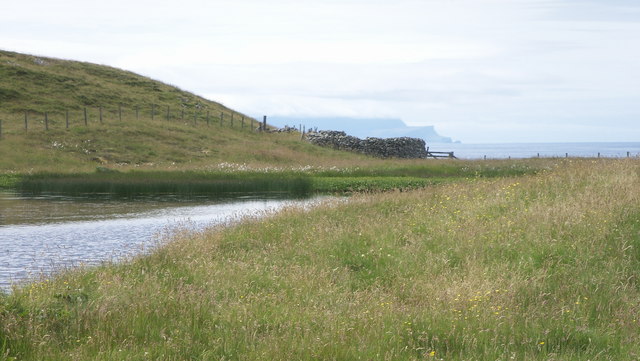
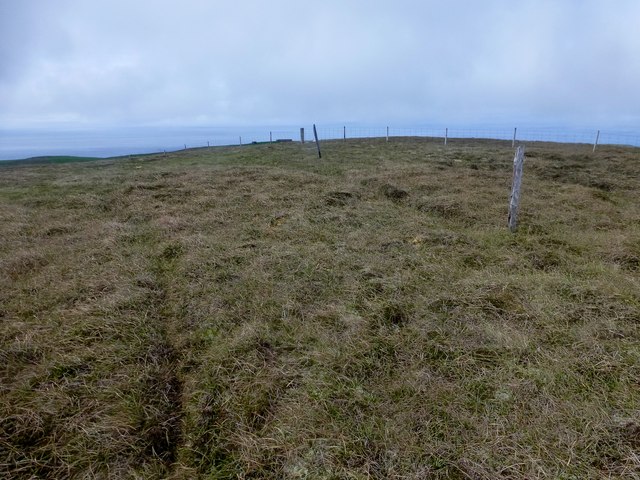
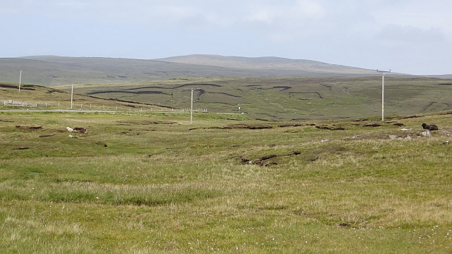
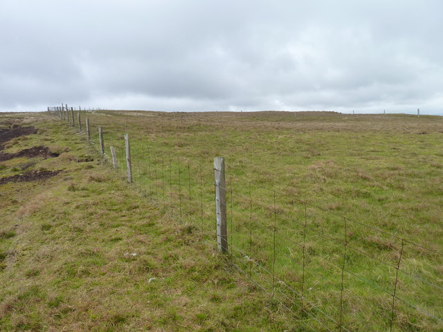
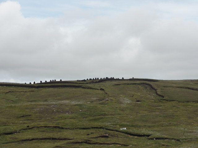
Gorsendi Geo is a prominent coastal feature located in the Shetland Islands, which are part of Scotland. Situated on the western coast of the mainland, Gorsendi Geo is a stunning headland that juts out into the North Atlantic Ocean. The term "geo" is used in Shetland to describe a narrow inlet or cove, which makes Gorsendi Geo an ideal location for those interested in coastal geography and natural beauty.
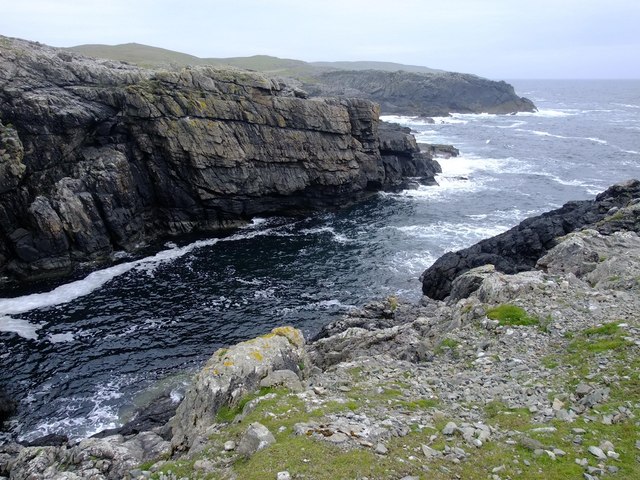
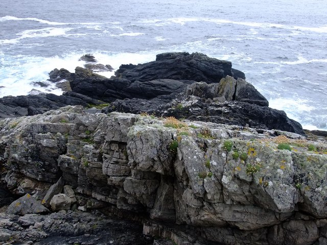
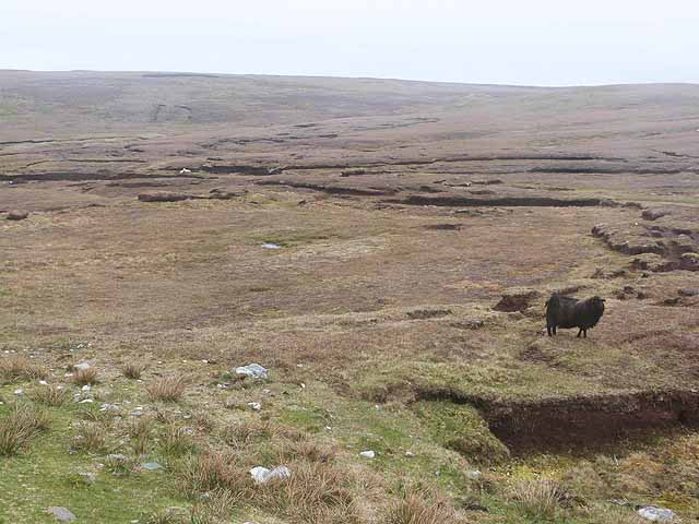
The headland is known for its rugged and dramatic cliffs that reach heights of up to 100 meters (328 feet) above sea level. These cliffs are formed from layers of sedimentary rocks, including sandstone and shale, which provide fascinating insights into the geological history of the area. The exposed rock formations also attract geologists and rock climbers alike, who are drawn to the challenges and unique formations found here.
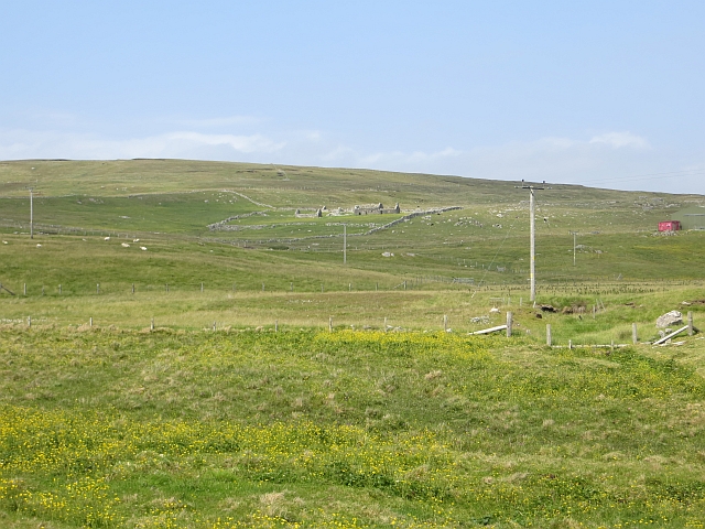
Gorsendi Geo offers breathtaking views of the surrounding coastline, with the clear blue waters of the North Atlantic contrasting against the rugged cliffs and green vegetation. The headland is also home to numerous seabird colonies, including puffins, guillemots, and razorbills, which nest in the cliff faces during the breeding season. Birdwatchers flock to Gorsendi Geo to witness these spectacular displays of nature.
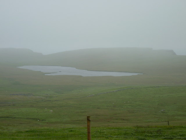
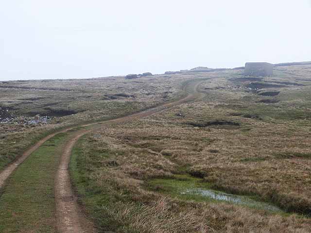
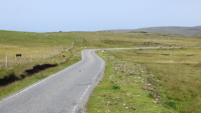
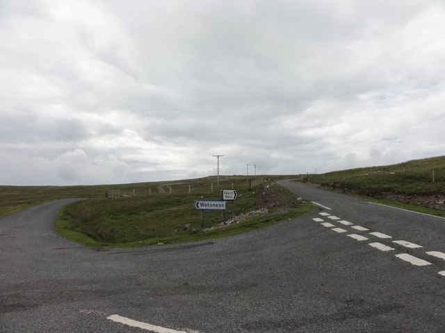
Access to Gorsendi Geo is relatively easy, with a public footpath leading to the headland from the nearby village. Visitors are advised to take caution when exploring the area, as the cliffs can be unstable and slippery. However, for those willing to venture out, Gorsendi Geo offers a unique opportunity to experience the raw power and beauty of the Shetland coastline.
If you have any feedback on the listing, please let us know in the comments section below.
Gorsendi Geo Images
Images are sourced within 2km of 60.23531/-1.6798504 or Grid Reference HU1750. Thanks to Geograph Open Source API. All images are credited.

Gorsendi Geo is located at Grid Ref: HU1750 (Lat: 60.23531, Lng: -1.6798504)
Unitary Authority: Shetland Islands
Police Authority: Highlands and Islands
What 3 Words
///inclines.trumped.mandolin. Near Walls, Shetland Islands
Nearby Locations
Related Wikis

Burrastow
Burrastow is a location on the west shore of Vaila Sound near the village of Walls on the Shetland Mainland, Scotland. There are two small piers and the...

Walls, Shetland
Walls, known locally as Waas (Old Norse: Vagar = "Sheltered Bays" (voes) - the Ordnance Survey added the "ll" as they thought it was a corruption of "walls...

Linga, Vaila Sound
Linga is one of the Shetland Islands, near Vaila and Walls on Mainland, Shetland. Its highest elevation is 28 metres (91 ft). In 2014 and 2018 it was...
Vaila
Vaila (Old Norse: "Valey") is an island in Shetland, Scotland, lying south of the Westland peninsula of the Shetland Mainland. It has an area of 327 hectares...
Nearby Amenities
Located within 500m of 60.23531,-1.6798504Have you been to Gorsendi Geo?
Leave your review of Gorsendi Geo below (or comments, questions and feedback).