Rams Geo
Coastal Feature, Headland, Point in Shetland
Scotland
Rams Geo
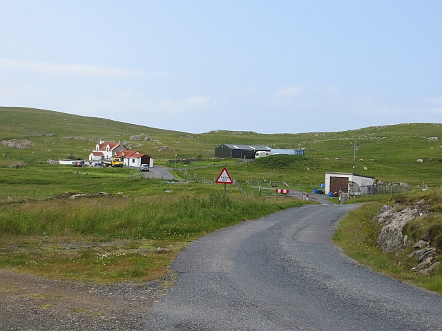
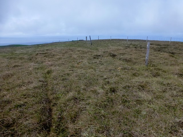
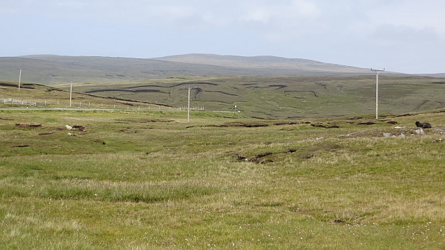
Rams Geo is a prominent coastal feature located on the Shetland Islands, an archipelago in Scotland. It is a headland that juts out into the North Sea, forming a distinct point within the landscape. The geo, a term used in Shetland to describe narrow inlets or coves, is characterized by its steep cliffs and rocky terrain.
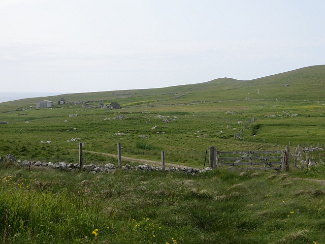
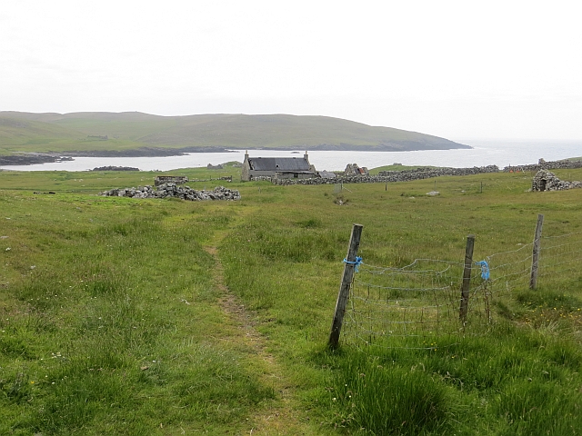
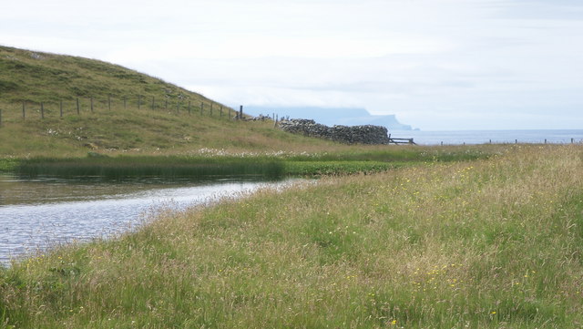
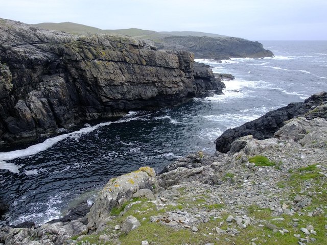
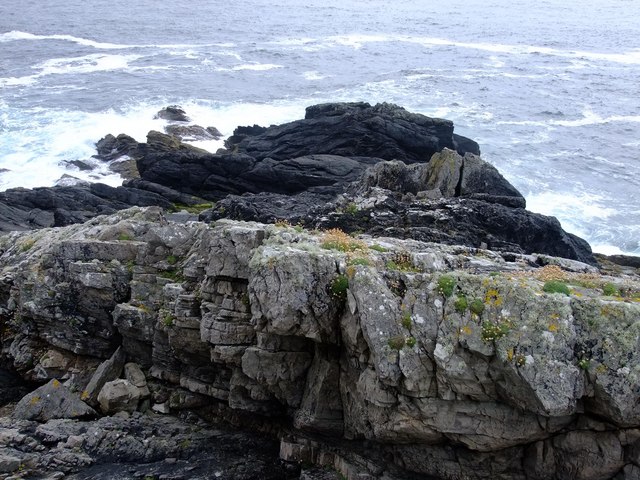
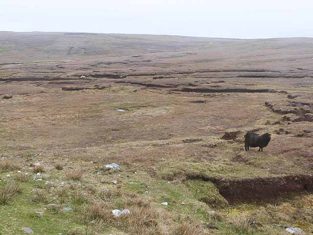
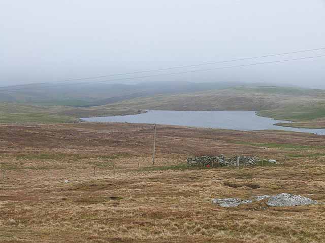
Situated on the eastern coast of Shetland, Rams Geo offers breathtaking views of the surrounding sea and the dramatic cliffs that line its edges. The headland is composed of layers of sedimentary rock, showcasing the geological history of the area. These rock formations have been shaped by thousands of years of erosion caused by the crashing waves and strong winds.
Known for its abundant birdlife, Rams Geo is a haven for various seabird species. It serves as a nesting site for puffins, kittiwakes, and guillemots, among others, making it a popular destination for birdwatchers and nature enthusiasts. The surrounding waters are also home to a diverse range of marine life, including seals and dolphins.
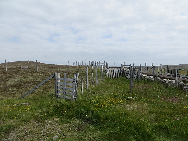
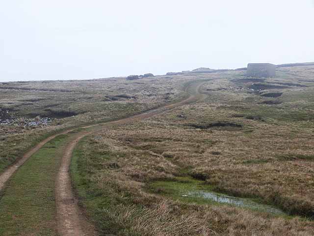
Visitors to Rams Geo can access the headland via a small footpath that winds its way along the cliff edge. The path provides stunning panoramic views of the coastline and the North Sea, offering an immersive experience in nature. However, it is important to exercise caution while exploring the area, as the cliffs can be hazardous and unstable.
Overall, Rams Geo is a captivating coastal feature that showcases the natural beauty and biodiversity of the Shetland Islands. Its rugged cliffs, rich birdlife, and stunning vistas make it an ideal destination for those seeking a unique and awe-inspiring coastal experience.
If you have any feedback on the listing, please let us know in the comments section below.
Rams Geo Images
Images are sourced within 2km of 60.233324/-1.6755004 or Grid Reference HU1849. Thanks to Geograph Open Source API. All images are credited.

Rams Geo is located at Grid Ref: HU1849 (Lat: 60.233324, Lng: -1.6755004)
Unitary Authority: Shetland Islands
Police Authority: Highlands and Islands
What 3 Words
///shelving.stared.bribing. Near Walls, Shetland Islands
Nearby Locations
Related Wikis

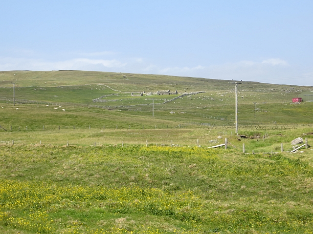
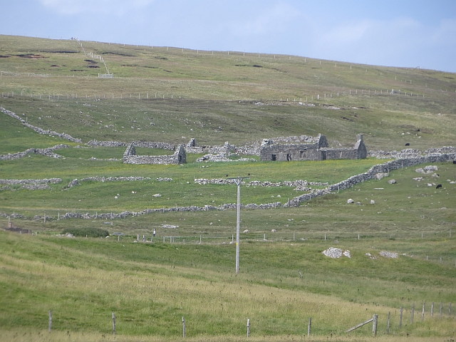
Burrastow
Burrastow is a location on the west shore of Vaila Sound near the village of Walls on the Shetland Mainland, Scotland. There are two small piers and the...

Walls, Shetland
Walls, known locally as Waas (Old Norse: Vagar = "Sheltered Bays" (voes) - the Ordnance Survey added the "ll" as they thought it was a corruption of "walls...

Linga, Vaila Sound
Linga is one of the Shetland Islands, near Vaila and Walls on Mainland, Shetland. Its highest elevation is 28 metres (91 ft). In 2014 and 2018 it was...
Vaila
Vaila (Old Norse: "Valey") is an island in Shetland, Scotland, lying south of the Westland peninsula of the Shetland Mainland. It has an area of 327 hectares...
Nearby Amenities
Located within 500m of 60.233324,-1.6755004Have you been to Rams Geo?
Leave your review of Rams Geo below (or comments, questions and feedback).