Catti Geo
Coastal Feature, Headland, Point in Shetland
Scotland
Catti Geo

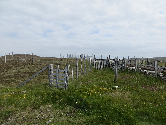
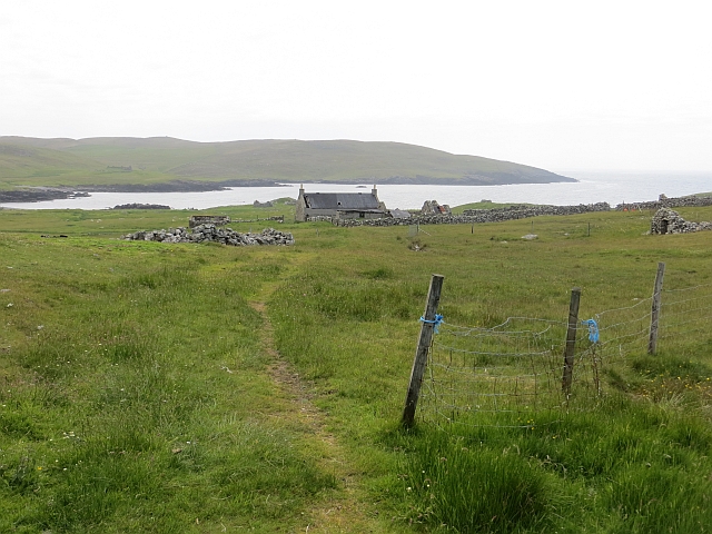
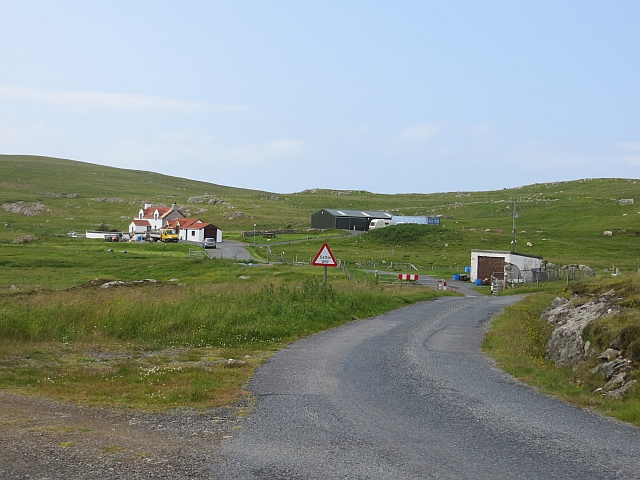
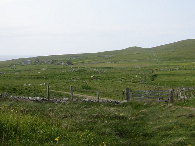
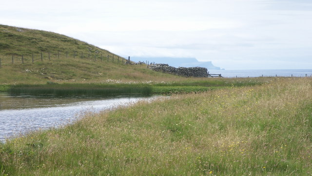
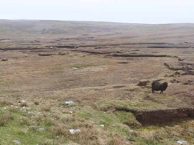
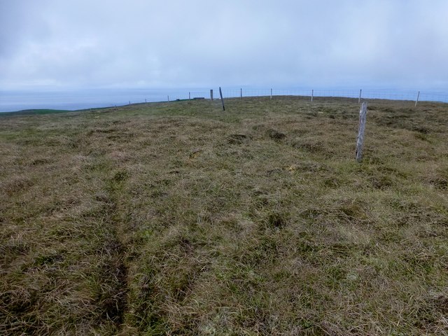
Catti Geo is a prominent coastal feature located in the Shetland Islands, an archipelago in Scotland. Specifically, it is situated on the mainland of Shetland, on the east coast of the Northmavine peninsula. Catti Geo is characterized as a headland or point, jutting out into the North Sea.
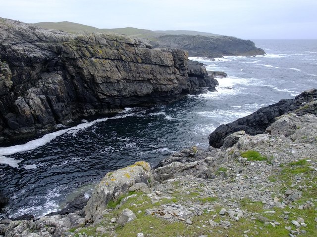
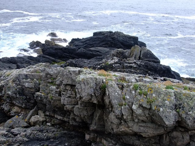
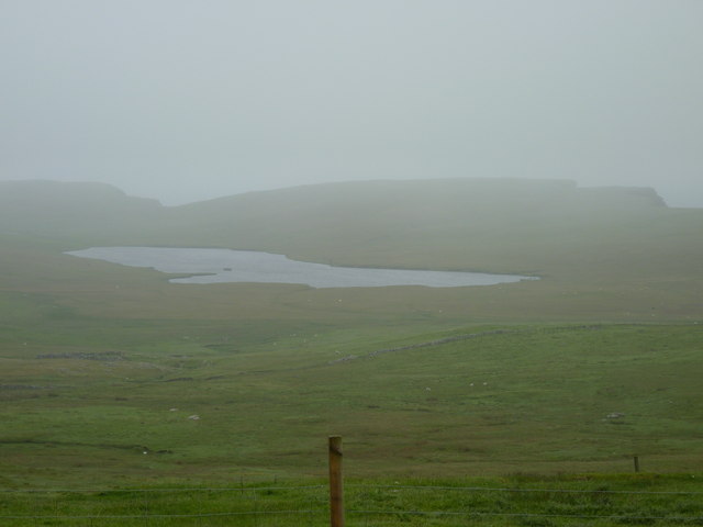
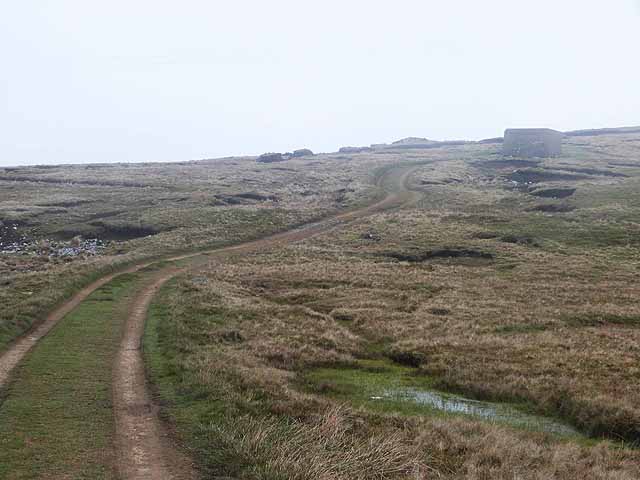
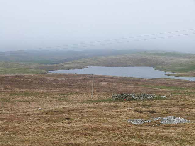
This coastal feature is known for its stunning natural beauty and rugged landscape. It is composed of rocky cliffs and steep slopes that drop down to the sea below. The area is rich in flora and fauna, with various species of seabirds, including puffins and fulmars, making their homes on the cliffs. Additionally, Catti Geo offers breathtaking panoramic views of the surrounding coastline and the vast expanse of the North Sea.
The name "Catti Geo" is derived from the Old Norse language, which was once spoken in the Shetland Islands. The term "Geo" refers to a narrow, steep-sided inlet or cove, often formed by the erosion of softer rock layers. Catti Geo's formation is believed to be the result of millions of years of coastal erosion, shaping the landscape into its present form.
Due to its striking beauty and unique geological features, Catti Geo attracts both locals and tourists alike. It offers opportunities for hiking, birdwatching, and photography, allowing visitors to immerse themselves in the natural wonders of the Shetland Islands.
If you have any feedback on the listing, please let us know in the comments section below.
Catti Geo Images
Images are sourced within 2km of 60.232844/-1.6700525 or Grid Reference HU1849. Thanks to Geograph Open Source API. All images are credited.


Catti Geo is located at Grid Ref: HU1849 (Lat: 60.232844, Lng: -1.6700525)
Unitary Authority: Shetland Islands
Police Authority: Highlands and Islands
What 3 Words
///unloading.teaching.pasting. Near Walls, Shetland Islands
Nearby Locations
Related Wikis

Burrastow
Burrastow is a location on the west shore of Vaila Sound near the village of Walls on the Shetland Mainland, Scotland. There are two small piers and the...

Walls, Shetland
Walls, known locally as Waas (Old Norse: Vagar = "Sheltered Bays" (voes) - the Ordnance Survey added the "ll" as they thought it was a corruption of "walls...

Linga, Vaila Sound
Linga is one of the Shetland Islands, near Vaila and Walls on Mainland, Shetland. Its highest elevation is 28 metres (91 ft). In 2014 and 2018 it was...
Vaila
Vaila (Old Norse: "Valey") is an island in Shetland, Scotland, lying south of the Westland peninsula of the Shetland Mainland. It has an area of 327 hectares...
Have you been to Catti Geo?
Leave your review of Catti Geo below (or comments, questions and feedback).