Smuggan
Coastal Feature, Headland, Point in Shetland
Scotland
Smuggan
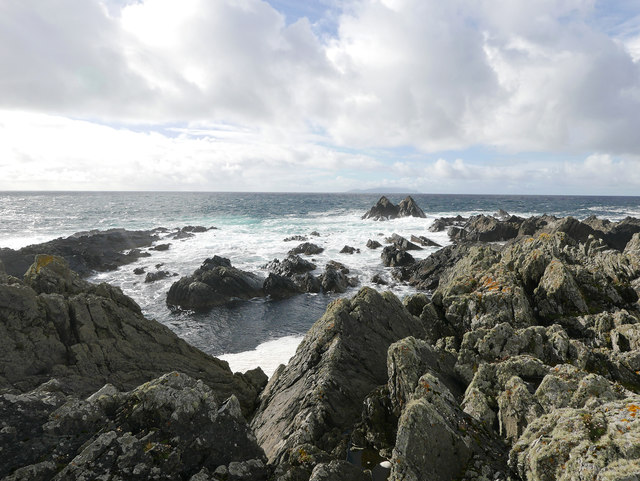
Smuggan is a prominent coastal feature located in the Shetland Islands, an archipelago in Scotland. It is specifically situated on the west coast of the island of Mainland, near the village of Walls. Smuggan is characterized as a headland or point, jutting out into the North Atlantic Ocean.
The headland is known for its rugged and dramatic cliffs, reaching heights of up to 100 meters (330 feet) above sea level. These cliffs are composed of layered sedimentary rocks, displaying the geological history of the area. They provide a stunning backdrop to the surrounding landscape and offer breathtaking views of the ocean and the neighboring islands.
Smuggan is also known for its unique wildlife and natural habitats. The coastal waters around the headland are home to a diverse range of marine species, including seals, dolphins, and various seabirds. The surrounding heathland and grassy slopes are also important nesting sites for seabird colonies, such as puffins and guillemots.
Due to its remote location and rugged terrain, Smuggan has a certain allure that attracts nature enthusiasts, hikers, and photographers. Several walking trails and paths traverse the area, allowing visitors to explore the headland and its surroundings. These paths offer opportunities to immerse oneself in the stunning coastal scenery and observe the rich biodiversity that thrives in this part of the Shetland Islands.
Overall, Smuggan is a captivating coastal feature in Shetland, boasting impressive cliffs, diverse wildlife, and stunning natural vistas. It is a must-visit destination for those seeking an authentic and awe-inspiring experience in the Scottish archipelago.
If you have any feedback on the listing, please let us know in the comments section below.
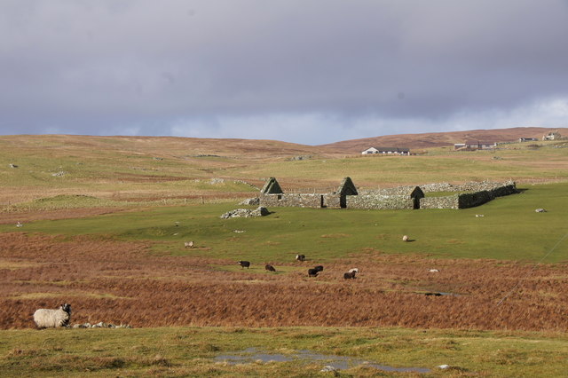
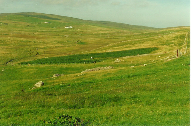
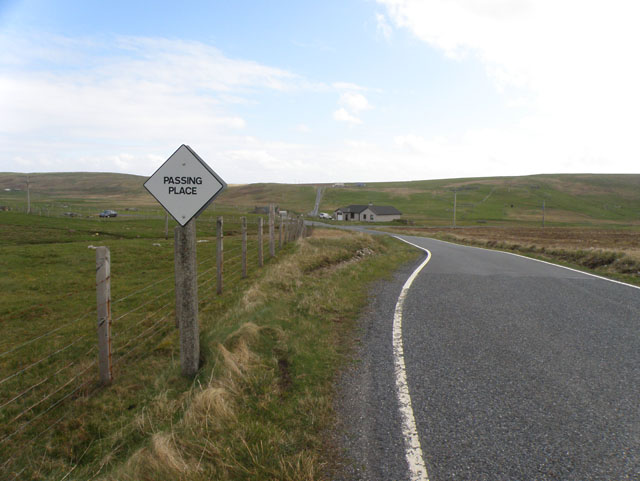
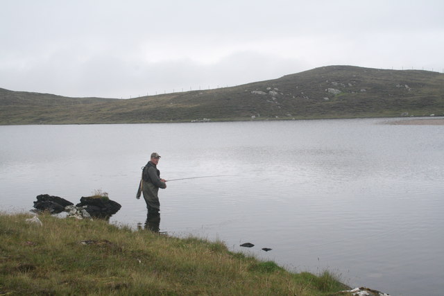
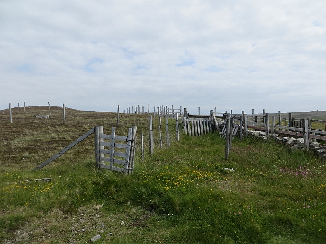
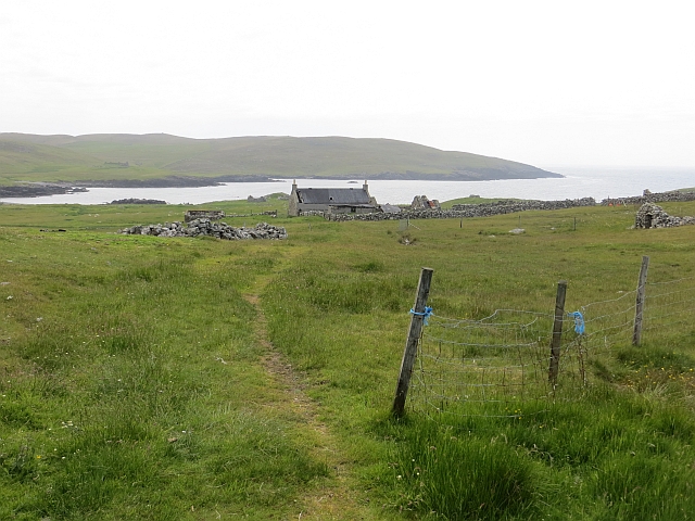
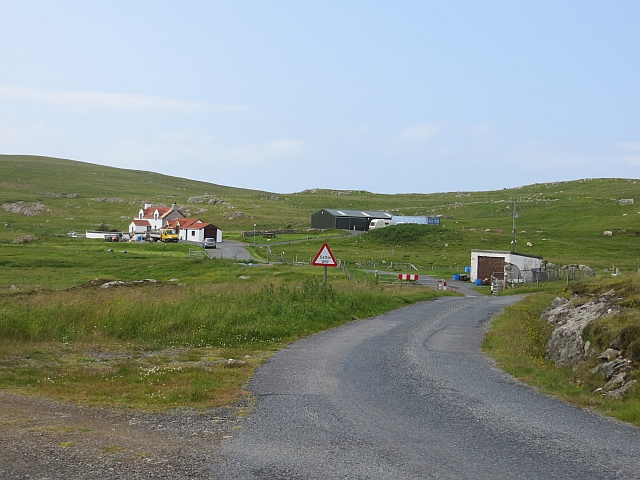
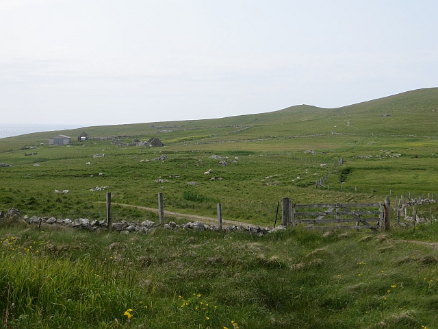
Smuggan Images
Images are sourced within 2km of 60.228177/-1.6602969 or Grid Reference HU1849. Thanks to Geograph Open Source API. All images are credited.


Smuggan is located at Grid Ref: HU1849 (Lat: 60.228177, Lng: -1.6602969)
Unitary Authority: Shetland Islands
Police Authority: Highlands and Islands
What 3 Words
///stoops.builds.sideburns. Near Walls, Shetland Islands
Nearby Locations
Related Wikis

Burrastow
Burrastow is a location on the west shore of Vaila Sound near the village of Walls on the Shetland Mainland, Scotland. There are two small piers and the...

Linga, Vaila Sound
Linga is one of the Shetland Islands, near Vaila and Walls on Mainland, Shetland. Its highest elevation is 28 metres (91 ft). In 2014 and 2018 it was...

Walls, Shetland
Walls, known locally as Waas (Old Norse: Vagar = "Sheltered Bays" (voes) - the Ordnance Survey added the "ll" as they thought it was a corruption of "walls...
Vaila
Vaila (Old Norse: "Valey") is an island in Shetland, Scotland, lying south of the Westland peninsula of the Shetland Mainland. It has an area of 327 hectares...
Have you been to Smuggan?
Leave your review of Smuggan below (or comments, questions and feedback).