Black Head
Coastal Feature, Headland, Point in Shetland
Scotland
Black Head
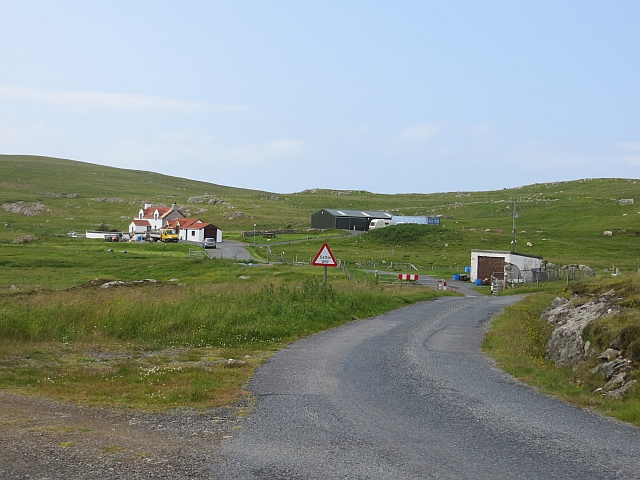
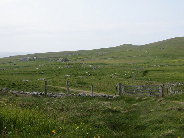
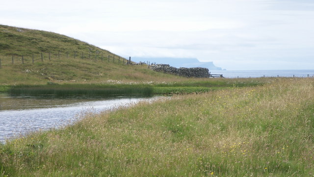
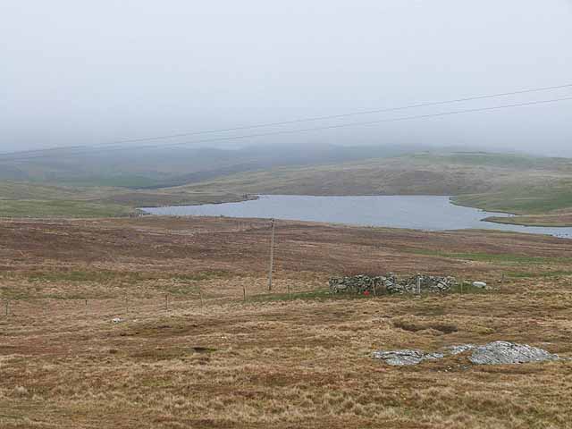
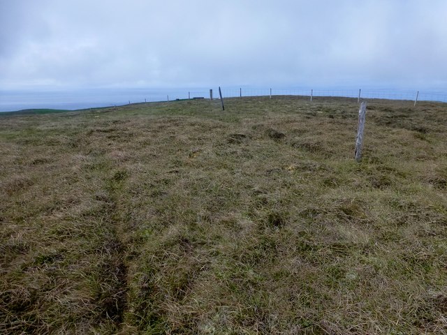
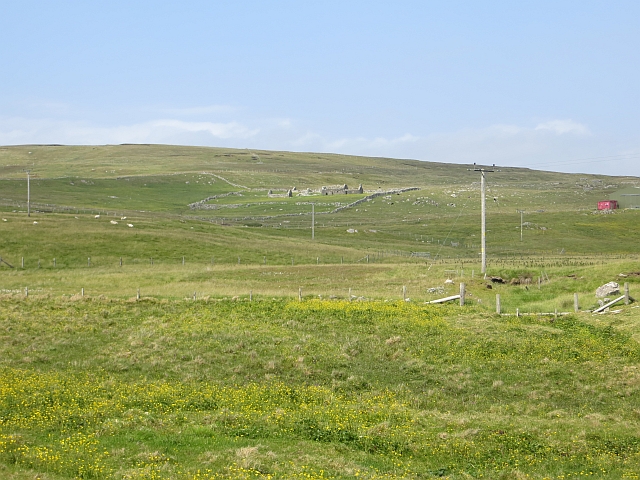
Black Head is a prominent coastal feature located in the Shetland Islands, an archipelago situated off the northeast coast of Scotland. It is a rugged headland that extends into the North Sea, forming a distinct point on the island's coastline.
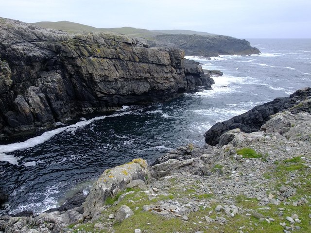
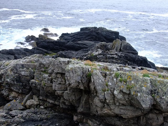
The headland is characterized by its steep cliffs, which rise dramatically from the sea, creating a striking visual spectacle. These cliffs are composed of layers of sedimentary rocks, including sandstone and shale, which exhibit various hues of dark gray and black, giving the headland its name.
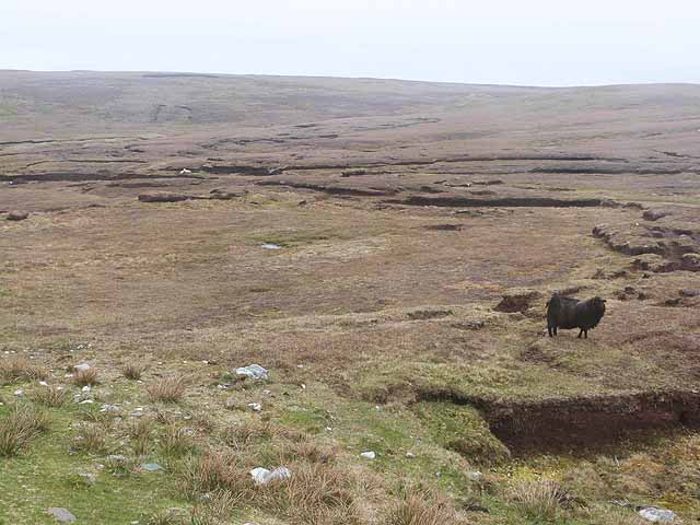
With its exposed location, Black Head is subject to the full force of the Atlantic Ocean, making it a challenging environment for both flora and fauna. The area is known for its diverse bird population, including seabirds such as puffins, guillemots, and kittiwakes, which nest on the cliff ledges. Visitors to the headland can often witness these birds in their natural habitat, soaring above the crashing waves.
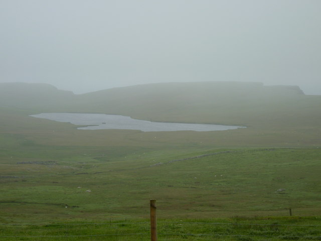
Black Head is a popular destination for nature enthusiasts and hikers due to its scenic beauty and unique geological formations. The headland offers breathtaking panoramic views of the surrounding coastline, the open sea, and the distant horizon. It is also a great spot for photography, as the interplay of light and shadow on the cliffs creates a dramatic backdrop.
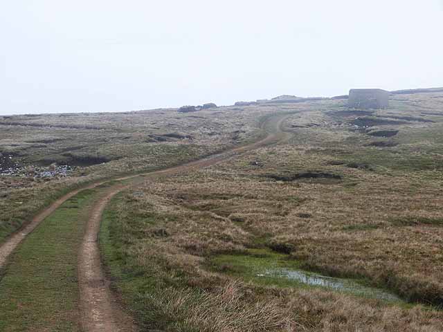
Access to Black Head is relatively easy, with a well-maintained footpath leading from the nearby village. However, caution is advised while exploring the headland, as the cliffs can be hazardous, especially during inclement weather.
If you have any feedback on the listing, please let us know in the comments section below.
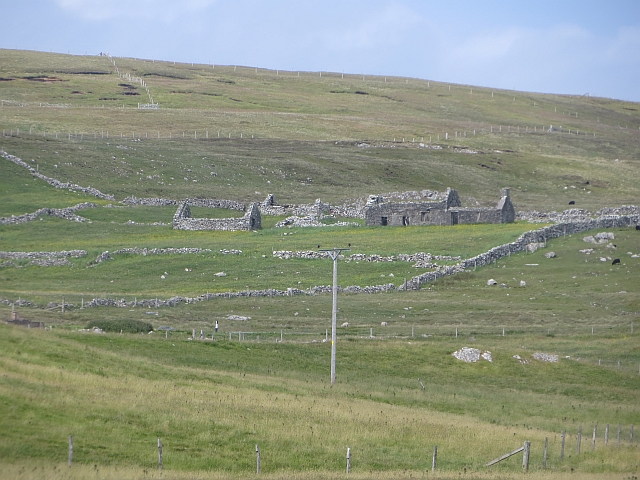
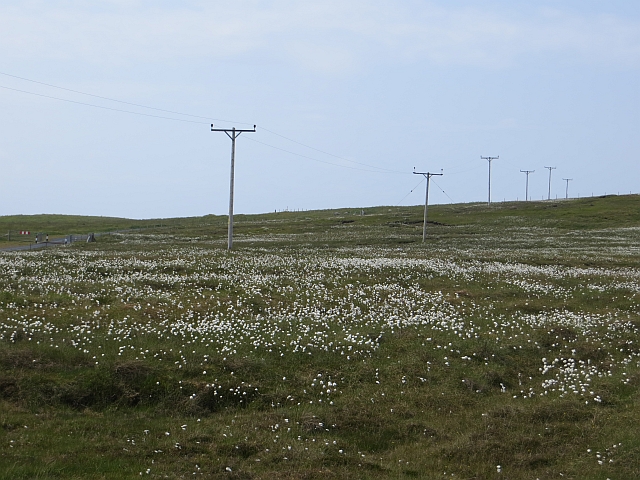
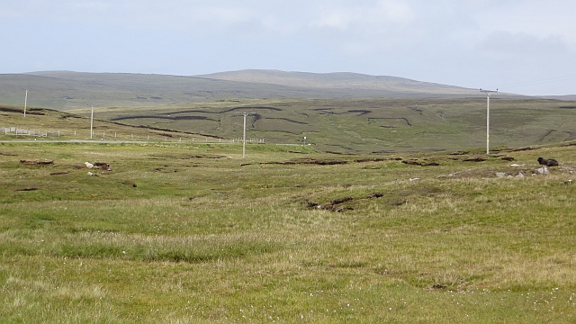
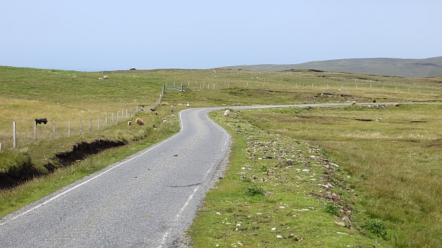
Black Head Images
Images are sourced within 2km of 60.233812/-1.6764525 or Grid Reference HU1849. Thanks to Geograph Open Source API. All images are credited.

Black Head is located at Grid Ref: HU1849 (Lat: 60.233812, Lng: -1.6764525)
Unitary Authority: Shetland Islands
Police Authority: Highlands and Islands
What 3 Words
///paths.colleague.blackmail. Near Walls, Shetland Islands
Nearby Locations
Related Wikis

Burrastow
Burrastow is a location on the west shore of Vaila Sound near the village of Walls on the Shetland Mainland, Scotland. There are two small piers and the...

Walls, Shetland
Walls, known locally as Waas (Old Norse: Vagar = "Sheltered Bays" (voes) - the Ordnance Survey added the "ll" as they thought it was a corruption of "walls...

Linga, Vaila Sound
Linga is one of the Shetland Islands, near Vaila and Walls on Mainland, Shetland. Its highest elevation is 28 metres (91 ft). In 2014 and 2018 it was...
Vaila
Vaila (Old Norse: "Valey") is an island in Shetland, Scotland, lying south of the Westland peninsula of the Shetland Mainland. It has an area of 327 hectares...
Nearby Amenities
Located within 500m of 60.233812,-1.6764525Have you been to Black Head?
Leave your review of Black Head below (or comments, questions and feedback).