Murrapund
Bay in Shetland
Scotland
Murrapund

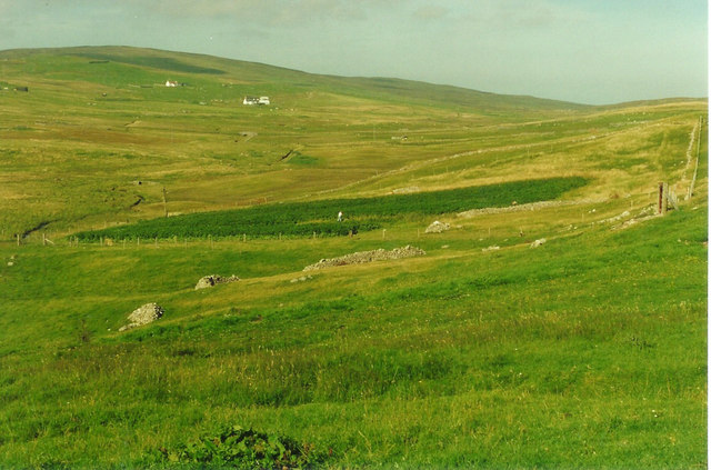
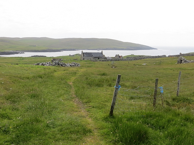
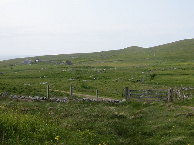
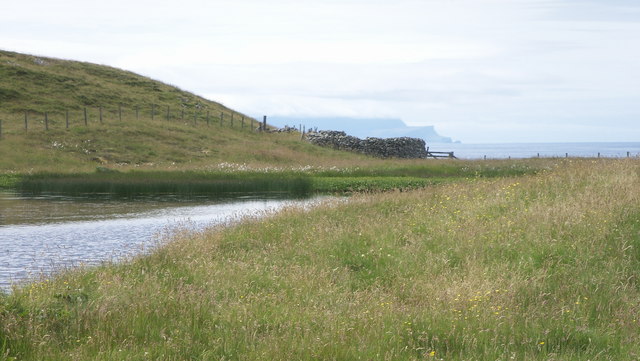
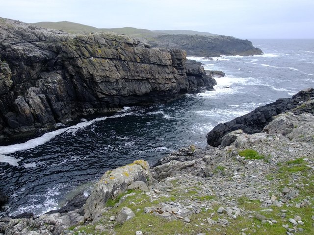
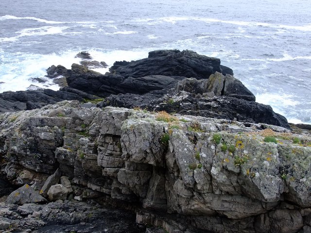
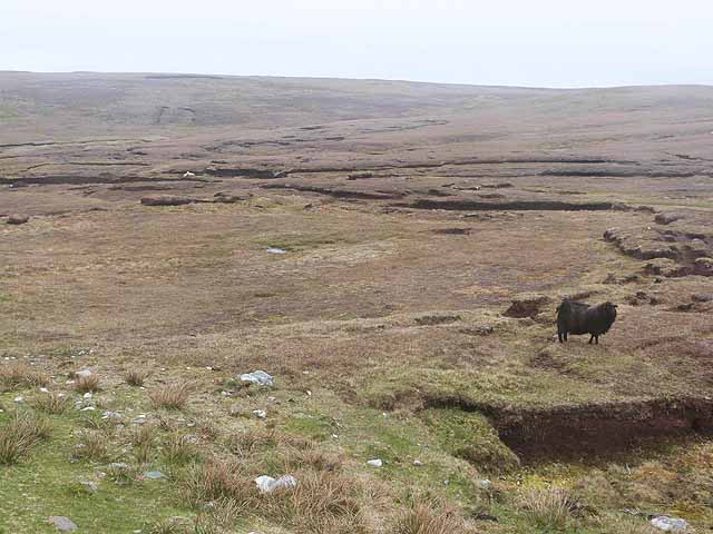
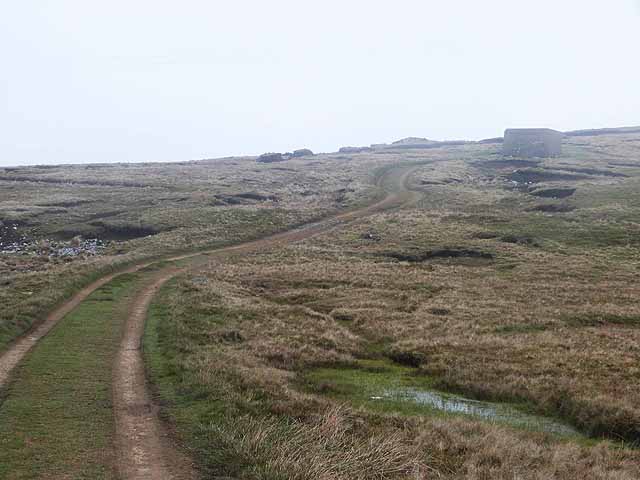
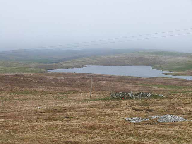
Murrapund is a picturesque bay located on the island of Shetland, which is part of Scotland, United Kingdom. Situated on the east coast of Shetland, Murrapund offers stunning views of the North Sea and is surrounded by scenic cliffs and rolling green hills.
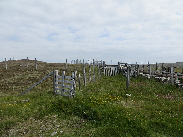
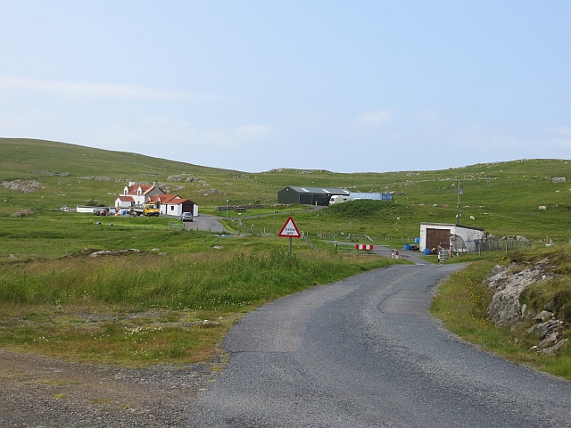
The bay is known for its tranquil and secluded atmosphere, making it a popular destination for those seeking a peaceful getaway. Its remote location adds to its charm, as it is far away from the hustle and bustle of city life. Visitors can enjoy the serenity of the bay, take leisurely walks along the sandy beach, or simply relax and soak in the natural beauty of the surroundings.
The wildlife in Murrapund is diverse and abundant, attracting nature enthusiasts and birdwatchers. Numerous species of seabirds, including puffins, gannets, and fulmars, can be spotted nesting along the cliffs. Seals can often be seen basking on the rocks, while otters play in the clear waters.
For history enthusiasts, Murrapund has its own unique story. The bay was once a thriving fishing village, and remnants of its past can still be seen in the form of old fishing huts and boathouses. The local community takes pride in preserving this heritage, and visitors can learn about the area's history through guided tours and exhibitions.
Overall, Murrapund in Shetland is a hidden gem that offers a perfect blend of natural beauty, tranquility, and historical significance. It is a place where visitors can unwind, immerse themselves in nature, and appreciate the rich culture and history of the area.
If you have any feedback on the listing, please let us know in the comments section below.
Murrapund Images
Images are sourced within 2km of 60.229969/-1.6658569 or Grid Reference HU1849. Thanks to Geograph Open Source API. All images are credited.


Murrapund is located at Grid Ref: HU1849 (Lat: 60.229969, Lng: -1.6658569)
Unitary Authority: Shetland Islands
Police Authority: Highlands and Islands
What 3 Words
///composer.unloads.deed. Near Walls, Shetland Islands
Nearby Locations
Related Wikis

Burrastow
Burrastow is a location on the west shore of Vaila Sound near the village of Walls on the Shetland Mainland, Scotland. There are two small piers and the...

Linga, Vaila Sound
Linga is one of the Shetland Islands, near Vaila and Walls on Mainland, Shetland. Its highest elevation is 28 metres (91 ft). In 2014 and 2018 it was...

Walls, Shetland
Walls, known locally as Waas (Old Norse: Vagar = "Sheltered Bays" (voes) - the Ordnance Survey added the "ll" as they thought it was a corruption of "walls...
Vaila
Vaila (Old Norse: "Valey") is an island in Shetland, Scotland, lying south of the Westland peninsula of the Shetland Mainland. It has an area of 327 hectares...
Have you been to Murrapund?
Leave your review of Murrapund below (or comments, questions and feedback).