Wats Ness
Coastal Feature, Headland, Point in Shetland
Scotland
Wats Ness
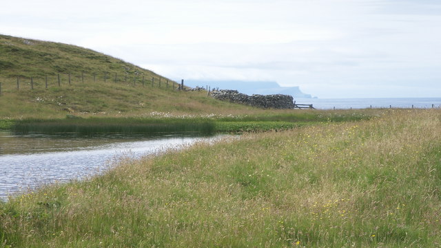
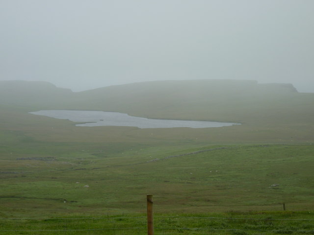
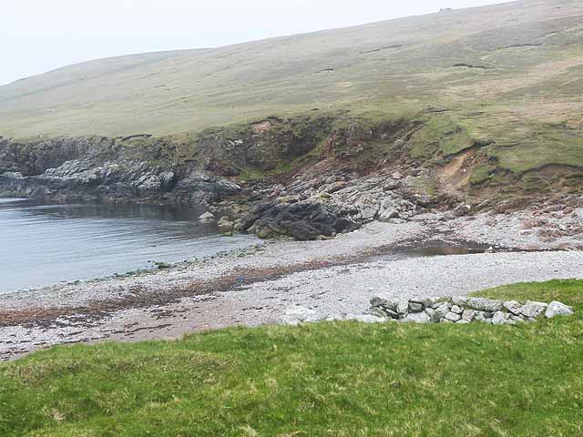
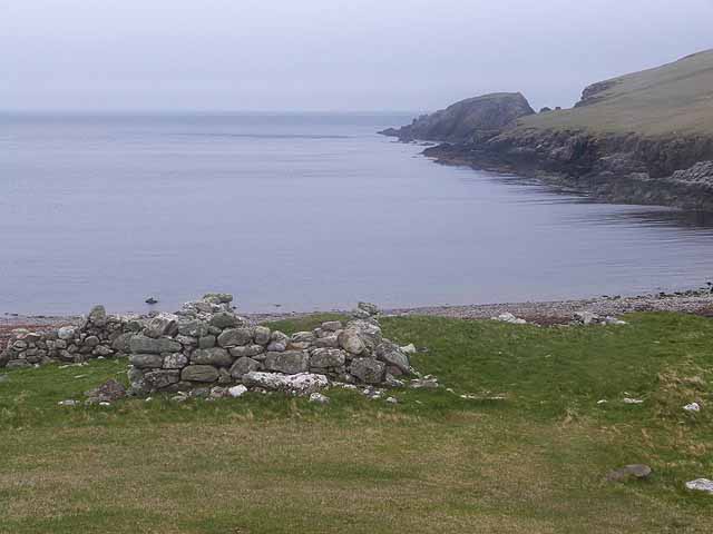
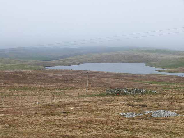
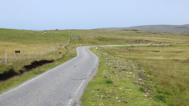
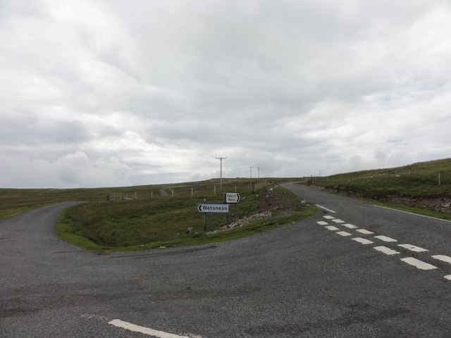
Wats Ness is a prominent coastal feature located on the northeastern coast of Shetland, an archipelago in Scotland. It is situated on the mainland of Shetland, specifically on the east side of the island of Yell. Wats Ness is classified as a headland or a point, as it juts out into the North Sea, forming a distinctive and recognizable landform.
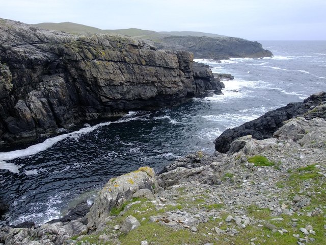
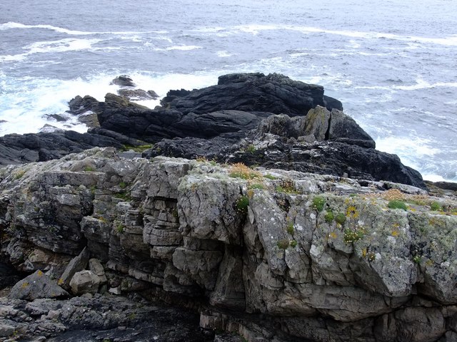
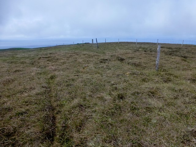
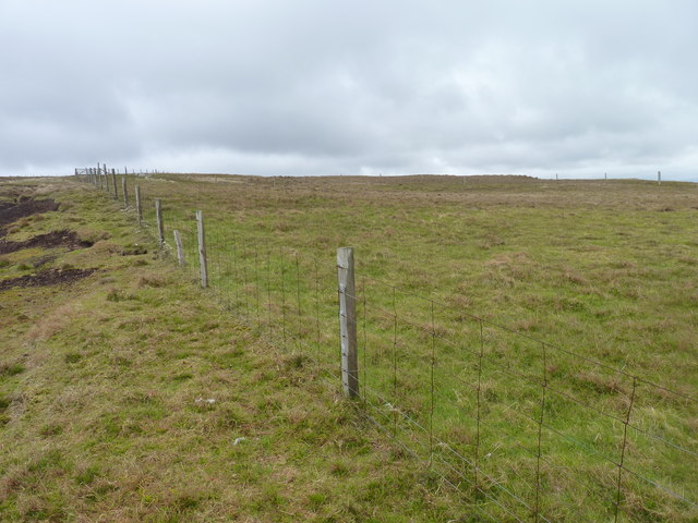
This coastal feature is characterized by its rugged and rocky terrain, with steep cliffs that rise up to impressive heights. The cliffs are mainly composed of sedimentary rock layers that have been shaped over millions of years by the relentless pounding of the sea. The constant erosion and weathering have created unique geological formations, including sea caves and natural arches, adding to the allure of Wats Ness.
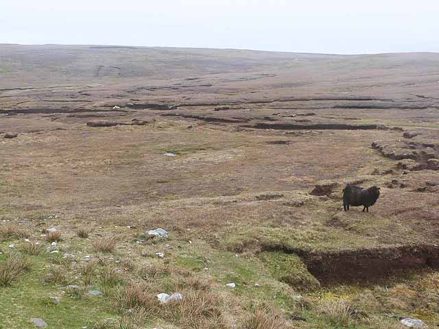
The headland offers breathtaking panoramic views of the surrounding coastline and the vast expanse of the North Sea. It is a popular spot for nature enthusiasts, hikers, and photographers who come to admire the dramatic beauty of the landscape and the abundant wildlife that inhabits the area. Seabirds such as puffins, guillemots, and razorbills can be seen nesting on the cliffs, while seals and otters can often be spotted in the waters below.
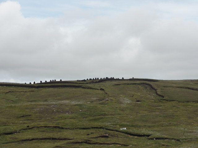
Wats Ness is also of historical significance, as it was once home to an Iron Age broch, a type of ancient roundhouse fortified with thick stone walls. Remnants of the broch can still be seen today, providing a glimpse into the island's distant past.
Overall, Wats Ness is a captivating coastal feature that showcases the raw power of nature and the rich history of the Shetland Islands.
If you have any feedback on the listing, please let us know in the comments section below.
Wats Ness Images
Images are sourced within 2km of 60.237367/-1.687595 or Grid Reference HU1750. Thanks to Geograph Open Source API. All images are credited.


Wats Ness is located at Grid Ref: HU1750 (Lat: 60.237367, Lng: -1.687595)
Unitary Authority: Shetland Islands
Police Authority: Highlands and Islands
What 3 Words
///rationing.risk.clinking. Near Walls, Shetland Islands
Nearby Locations
Related Wikis

Burrastow
Burrastow is a location on the west shore of Vaila Sound near the village of Walls on the Shetland Mainland, Scotland. There are two small piers and the...

Walls, Shetland
Walls, known locally as Waas (Old Norse: Vagar = "Sheltered Bays" (voes) - the Ordnance Survey added the "ll" as they thought it was a corruption of "walls...

Linga, Vaila Sound
Linga is one of the Shetland Islands, near Vaila and Walls on Mainland, Shetland. Its highest elevation is 28 metres (91 ft). In 2014 and 2018 it was...
Vaila
Vaila (Old Norse: "Valey") is an island in Shetland, Scotland, lying south of the Westland peninsula of the Shetland Mainland. It has an area of 327 hectares...
Nearby Amenities
Located within 500m of 60.237367,-1.687595Have you been to Wats Ness?
Leave your review of Wats Ness below (or comments, questions and feedback).