Erne's Stack

Island in Shetland

Scotland

Erne's Stack

Dale of Walls: telephone box and cottage This very isolated telephone box cannot surely see much use - well, attempted use, I should say: I lifted the handset and could get no tone whatsoever!
Dale of Walls: telephone box and cottage Credit: Chris Downer

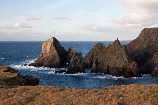
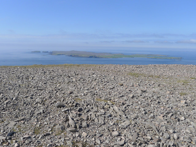
Erne's Stack is a small, uninhabited island located in the Shetland archipelago, which lies off the northeastern coast of Scotland. The island is situated approximately 1.5 kilometers northwest of the larger island of Noss and can be accessed by boat from the nearby town of Lerwick.

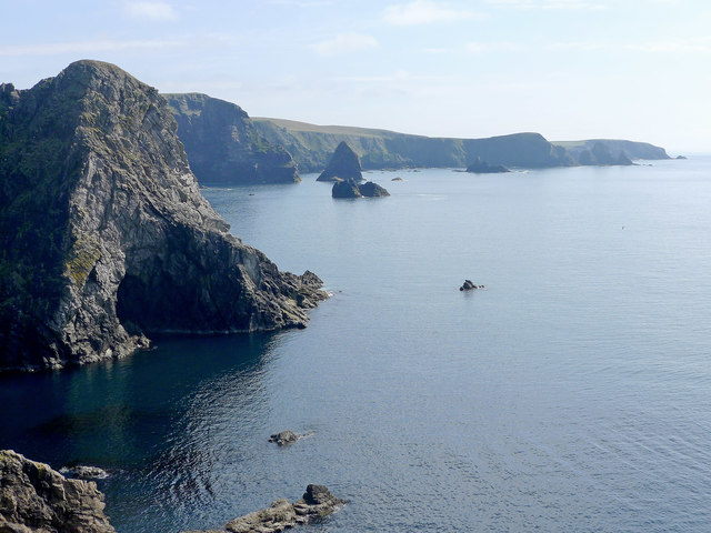
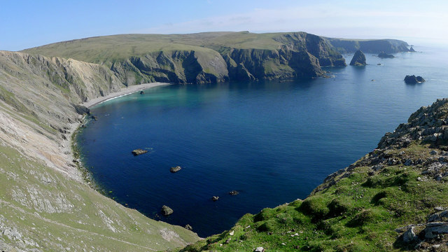
Measuring just 80 meters in length and 40 meters in width, Erne's Stack is known for its striking geological formations. The island consists of sheer cliffs that rise dramatically from the surrounding sea, reaching heights of up to 50 meters. These cliffs are composed of columnar basalt, a type of volcanic rock that forms distinct vertical columns as a result of volcanic activity and subsequent cooling.

The island provides a vital breeding ground for seabirds, particularly fulmars, guillemots, and kittiwakes. These birds nest on the ledges and crevices of the cliffs, creating a cacophony of sounds and a vibrant display of wildlife during the breeding season.

Erne's Stack is a popular destination for birdwatchers and nature enthusiasts who can observe the birds from a safe distance using binoculars or telescopes. Boat trips are available from Lerwick, allowing visitors to get close to the island and appreciate its rugged beauty and diverse avian population.

Due to its isolated location and lack of amenities, Erne's Stack is not suitable for overnight stays or recreational activities. However, it offers a unique opportunity to witness the raw power of nature and the abundance of wildlife in the Shetland Islands.

If you have any feedback on the listing, please let us know in the comments section below.
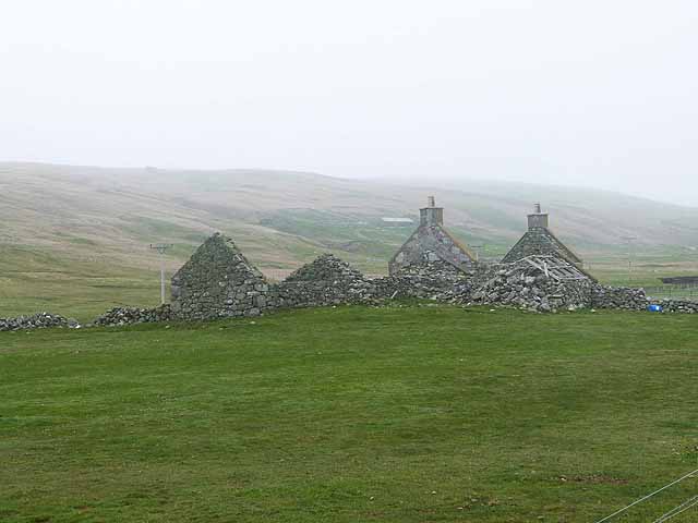
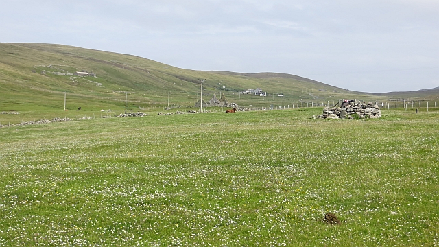
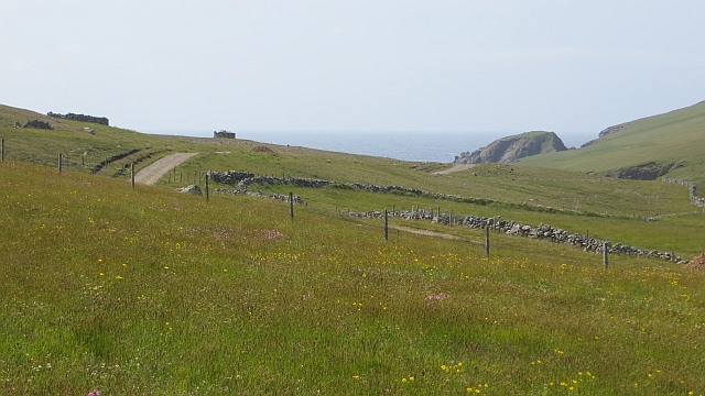
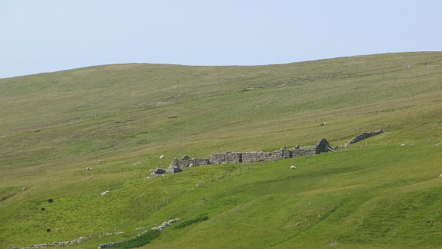
Erne's Stack Images

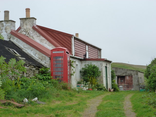
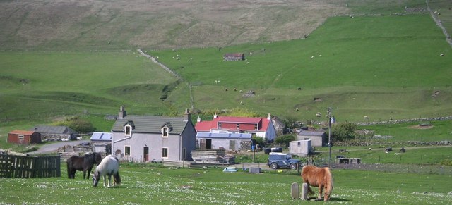
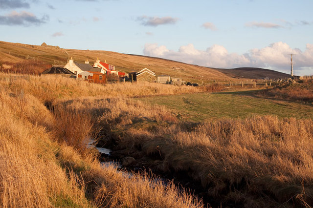
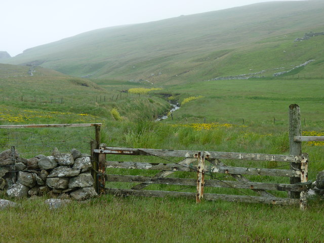
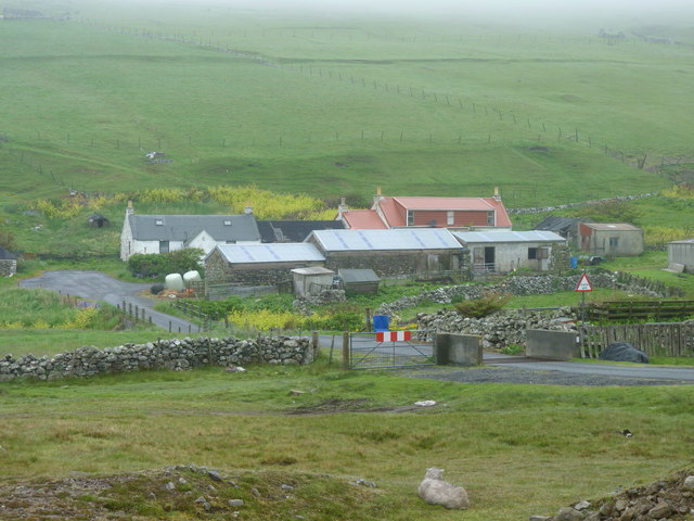
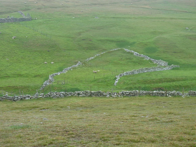
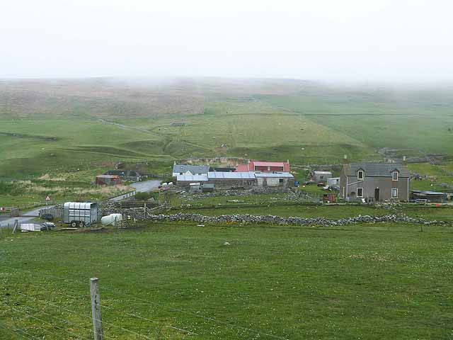
Images are sourced within 2km of 60.27249/-1.690659 or Grid Reference HU1754. Thanks to Geograph Open Source API. All images are credited.

Dale of Walls: telephone box and cottage This very isolated telephone box cannot surely see much use - well, attempted use, I should say: I lifted the handset and could get no tone whatsoever!
Dale of Walls: telephone box and cottage
This very isolated telephone box cannot surely see much use - well, attempted use, I should say: I lifted the handset and could get no tone whatsoever!
Horses at Dale
Horses at Dale
Cley Stacks, Shetland Islands Cley Stacks across Coppa Wick, Shetland Islands
Cley Stacks, Shetland Islands
Cley Stacks across Coppa Wick, Shetland Islands
Netherdale, Shetland Islands Netherdale crofts in the Dale of Walls, Shetland Islands
Netherdale, Shetland Islands
Netherdale crofts in the Dale of Walls, Shetland Islands
Gate to a view of the Burn of Dale It's easy to post photos of Shetland only when it is sunny - so here is one showing a more realistic view!
Gate to a view of the Burn of Dale
It's easy to post photos of Shetland only when it is sunny - so here is one showing a more realistic view!
Cattle grid,and Netherdale beyond
Remains of an enclosure at Swinland, Dale of Walls
Netherdale Farm Just inland from the Voe of Dale. A day of very low cloud.
Netherdale Farm
Just inland from the Voe of Dale. A day of very low cloud.
Ruined cottage at Dale
Field, Netherdale
Field, Netherdale
Road to Voe of Dale Downstream of Dale of Walls.
Road to Voe of Dale
Downstream of Dale of Walls.
Swinland Ruin, Dale of Walls.
Swinland
Ruin, Dale of Walls.
Netherdale Farm
Netherdale Farm
Coastline by Hesti Geo A fine view southwards along a remote stretch of coast
Coastline by Hesti Geo
A fine view southwards along a remote stretch of coast
Summit rocks of Ramna Vord The broken rocks of the summit were a contrast to the springy turf of the coastal footpath.  Papa Stour forms the background to this view.
Summit rocks of Ramna Vord
The broken rocks of the summit were a contrast to the springy turf of the coastal footpath. Papa Stour forms the background to this view.
Banks Head and the Bay of Deepdale A fine coastline.  The view was obtained from a stitch of a number of individual images using a panorama software in PhotoShop Elements.
Banks Head and the Bay of Deepdale
A fine coastline. The view was obtained from a stitch of a number of individual images using a panorama software in PhotoShop Elements.
Hesti Geo, Shetland A good viewpoint to wonder at the cliffs and the power of the sea to create the cave.
Hesti Geo, Shetland
A good viewpoint to wonder at the cliffs and the power of the sea to create the cave.
Coastal footpath to Deepdale Bay Little chance of getting lost1
Coastal footpath to Deepdale Bay
Little chance of getting lost1
Show me another place!

Erne's Stack is located at Grid Ref: HU1754 (Lat: 60.27249, Lng: -1.690659)

Unitary Authority: Shetland Islands

Police Authority: Highlands and Islands

What 3 Words

///amuse.steered.operation. Near Walls, Shetland Islands

Related Wikis

Sandness

Sandness (the "d" is not pronounced locally) is a headland and district in the west of Shetland Mainland, Scotland. Sandness was a civil parish, which...

Papa Stour Airstrip

Papa Stour Airstrip is a small airstrip in the village of Biggings on the island of Papa Stour. Shetland, Scotland. == History == Papa Stour Airstrip opened...

Forewick Holm

Forewick Holm is a 1-hectare (2.5-acre) island in the Sound of Papa in the Shetland islands, Scotland. Located between Papa Stour and the Sandness peninsula...

Biggings

Biggings is a village on the island of Papa Stour, in Shetland, Scotland. Papa Stour's church is situated at the south of Biggings. A homestead of Duke...

Have you been to Erne's Stack?

Leave your review of Erne's Stack below (or comments, questions and feedback).