Bay of Deepdale

Bay in Shetland

Scotland

Bay of Deepdale

Cley Stacks, Shetland Islands Cley Stacks across Coppa Wick, Shetland Islands
Cley Stacks, Shetland Islands Credit: Graham Uney

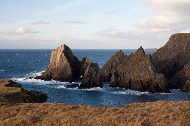
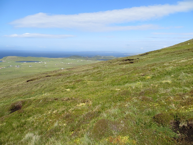
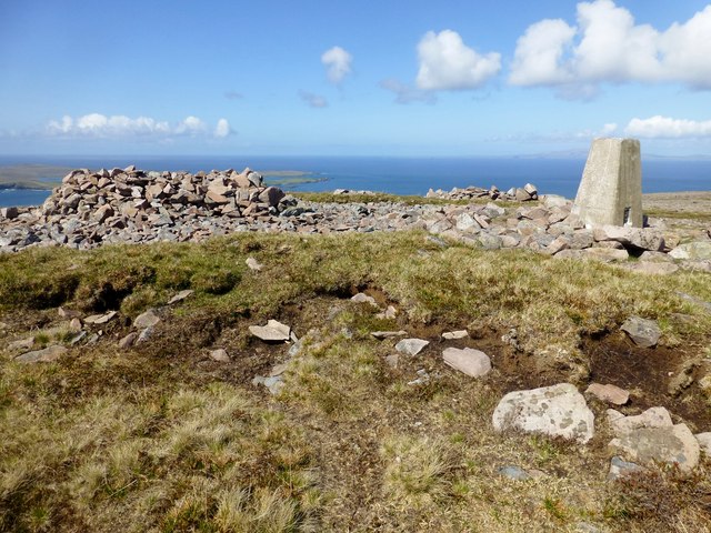
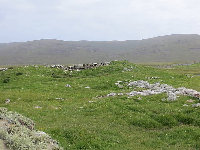
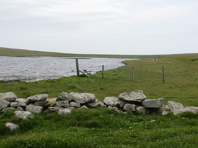
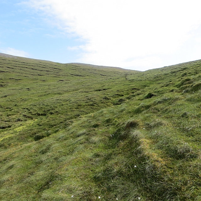
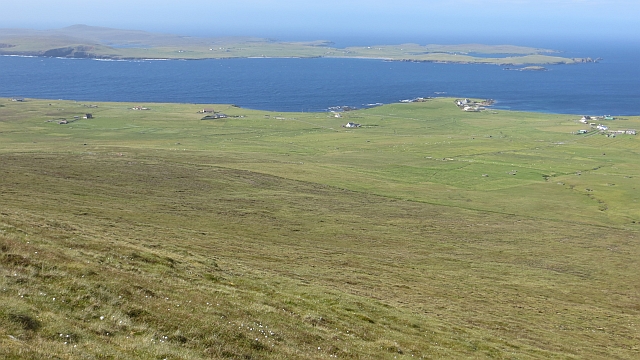
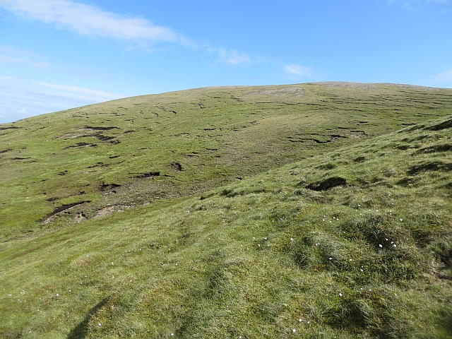
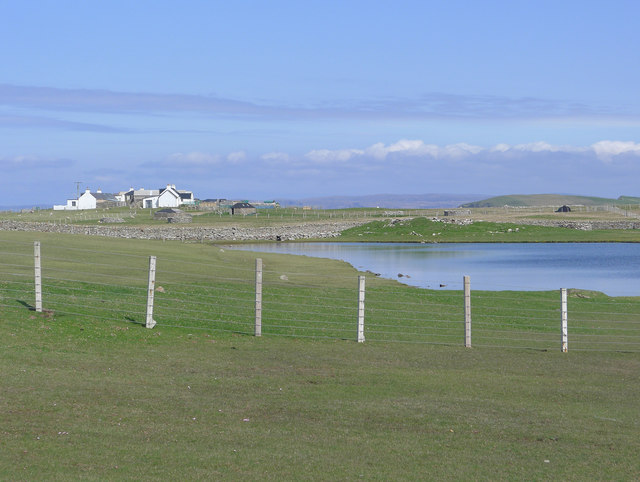
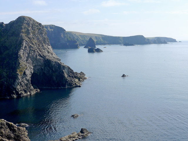
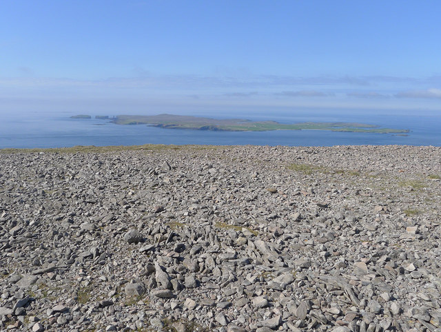
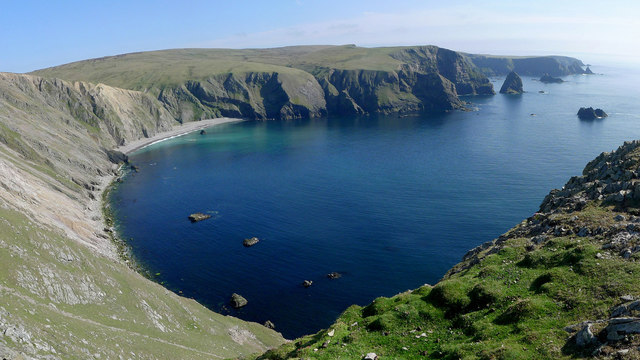
The Bay of Deepdale is a picturesque and tranquil bay located in the Shetland Islands, Scotland. Situated on the eastern coast of the island of Yell, it offers breathtaking views of the North Sea and is surrounded by rolling hills and cliffs.

The bay is characterized by its pristine sandy beaches and crystal-clear turquoise waters. The beach stretches for approximately 2 miles, providing ample space for visitors to relax, sunbathe, or take a leisurely stroll along the shore. The bay is also a popular spot for water activities such as swimming, kayaking, and snorkeling, thanks to its calm and sheltered waters.

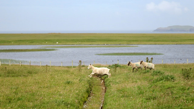
The surrounding area is rich in wildlife, making it a haven for nature enthusiasts. Seals can often be spotted lounging on the rocks, while seabirds soar above the bay, including puffins, guillemots, and razorbills. The bay is also known for its diverse marine life, with the possibility of sighting dolphins or even the occasional whale offshore.

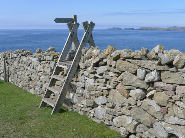
For those seeking a peaceful retreat, there are several walking trails and viewpoints that offer stunning panoramas of the bay and the surrounding countryside. The area is dotted with cozy cottages and guesthouses, providing accommodation options for those looking to stay overnight.

Overall, the Bay of Deepdale is a hidden gem in the Shetland Islands, combining natural beauty, tranquility, and a rich variety of wildlife, making it a must-visit destination for nature lovers and those seeking a peaceful coastal escape.

If you have any feedback on the listing, please let us know in the comments section below.

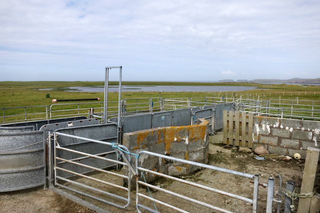
Bay of Deepdale Images

Images are sourced within 2km of 60.278661/-1.688178 or Grid Reference HU1754. Thanks to Geograph Open Source API. All images are credited.

Cley Stacks, Shetland Islands Cley Stacks across Coppa Wick, Shetland Islands
Cley Stacks, Shetland Islands
Cley Stacks across Coppa Wick, Shetland Islands
Summit, Sandness Hill Cairn and triangulation pillar near the summit with Papa Stour in the background.
Summit, Sandness Hill
Cairn and triangulation pillar near the summit with Papa Stour in the background.
Summit ridge, Sandness Hill View towards the west summit. I had set out earlier in the day from the background island, Foula (a 31km ferry crossing to Walls - fare £5).

Foula has a habit of briefly appearing and disappearing in a view, as does Mainland seen from Foula.
Summit ridge, Sandness Hill
View towards the west summit. I had set out earlier in the day from the background island, Foula (a 31km ferry crossing to Walls - fare £5). Foula has a habit of briefly appearing and disappearing in a view, as does Mainland seen from Foula.
Hill of Melby Moorland slopes of Sandness Hill.
Hill of Melby
Moorland slopes of Sandness Hill.
Slopes of Sandness Hill Peaty ground on the north side of the hill - not too boggy here due to the slope aiding drainage.
Slopes of Sandness Hill
Peaty ground on the north side of the hill - not too boggy here due to the slope aiding drainage.
Sandness Hill Bagged with Tricky Speirs on a sunny afternoon.
Name: Sandness Hill
Hill number: 1535
Height: 249m / 817ft
Area: 22: Shetland Islands
Class: Ma
Grid ref: HU 19164 55706
Summit feature: no feature: ground 5m WSW of trig point
Drop: 226m
Col: 23m  HU280527
Sandness Hill
Bagged with Tricky Speirs on a sunny afternoon. Name: Sandness Hill Hill number: 1535 Height: 249m / 817ft Area: 22: Shetland Islands Class: Ma Grid ref: HU 19164 55706 Summit feature: no feature: ground 5m WSW of trig point Drop: 226m Col: 23m HU280527
Broch, Huxter Just south of the mills at Huxter.
Broch, Huxter
Just south of the mills at Huxter.
Loch of Huxter Shallow loch near the shore, it provided a head of water to power the watermills.
Loch of Huxter
Shallow loch near the shore, it provided a head of water to power the watermills.
Mirdesgill Grassy hollow on Sandness Hill.
Mirdesgill
Grassy hollow on Sandness Hill.
Slopes of Hill of Melby North side of Sandness Hill above Melby.
Slopes of Hill of Melby
North side of Sandness Hill above Melby.
Sandness Hill Northern slopes of Sandness Hill.
Sandness Hill
Northern slopes of Sandness Hill.
Leaping Sheep Athletic livestock by the Loch of Huxter.
Leaping Sheep
Athletic livestock by the Loch of Huxter.
Sheepfold at Huxter
Sheepfold at Huxter
Loch of Huxter The broch lies on the bank of the loch. The farm of Huxter shows up clearly.
Loch of Huxter
The broch lies on the bank of the loch. The farm of Huxter shows up clearly.
Coastal path sign and stile The walk from Huxter towards Deepdale is well marked by signposts although the route is never in doubt.
Coastal path sign and stile
The walk from Huxter towards Deepdale is well marked by signposts although the route is never in doubt.
Coastline by Hesti Geo A fine view southwards along a remote stretch of coast
Coastline by Hesti Geo
A fine view southwards along a remote stretch of coast
Summit rocks of Ramna Vord The broken rocks of the summit were a contrast to the springy turf of the coastal footpath.  Papa Stour forms the background to this view.
Summit rocks of Ramna Vord
The broken rocks of the summit were a contrast to the springy turf of the coastal footpath. Papa Stour forms the background to this view.
Banks Head and the Bay of Deepdale A fine coastline.  The view was obtained from a stitch of a number of individual images using a panorama software in PhotoShop Elements.
Banks Head and the Bay of Deepdale
A fine coastline. The view was obtained from a stitch of a number of individual images using a panorama software in PhotoShop Elements.
Show me another place!

Bay of Deepdale is located at Grid Ref: HU1754 (Lat: 60.278661, Lng: -1.688178)

Unitary Authority: Shetland Islands

Police Authority: Highlands and Islands

What 3 Words

///scary.thankful.skate. Near Walls, Shetland Islands

Related Wikis

Sandness

Sandness (the "d" is not pronounced locally) is a headland and district in the west of Shetland Mainland, Scotland. Sandness was a civil parish, which...

Papa Stour Airstrip

Papa Stour Airstrip is a small airstrip in the village of Biggings on the island of Papa Stour. Shetland, Scotland. == History == Papa Stour Airstrip opened...

Forewick Holm

Forewick Holm is a 1-hectare (2.5-acre) island in the Sound of Papa in the Shetland islands, Scotland. Located between Papa Stour and the Sandness peninsula...

Biggings

Biggings is a village on the island of Papa Stour, in Shetland, Scotland. Papa Stour's church is situated at the south of Biggings. A homestead of Duke...

Have you been to Bay of Deepdale?

Leave your review of Bay of Deepdale below (or comments, questions and feedback).