Fir Island
Island in Lancashire South Lakeland
England
Fir Island
Fir Island is a small island located in the estuary of the River Wyre, near Fleetwood, in Lancashire, England. The island is situated between the Wyre and the Lune Estuary, just off the coast of Lancashire. It is approximately 6 hectares in size and is known for its rich biodiversity and important ecological value.
The island is primarily composed of saltmarsh, mudflats, and sand dunes, making it an ideal habitat for many bird species. It is designated as a Site of Special Scientific Interest (SSSI) due to its importance as a breeding ground and feeding area for various species of wading birds, such as redshanks, dunlins, and ringed plovers. It is also recognized as an important habitat for wintering wildfowl.
Access to Fir Island is restricted due to its ecological significance and the need to protect the wildlife. However, there are designated footpaths and bird hides that allow visitors to observe the birdlife without disturbing their natural habitat. The island is a popular destination for birdwatchers and nature enthusiasts who come to appreciate the diverse range of species that inhabit the area.
In addition to its ecological importance, Fir Island also has historical significance. It was once used as a landing place for fishermen and was an important area for salt production during the 18th and 19th centuries. Today, the island serves as a valuable nature reserve and a protected area for the wildlife that calls it home.
If you have any feedback on the listing, please let us know in the comments section below.
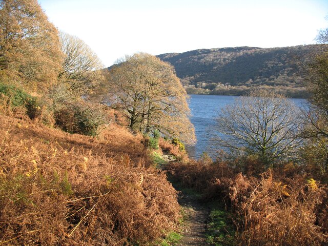
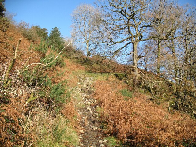
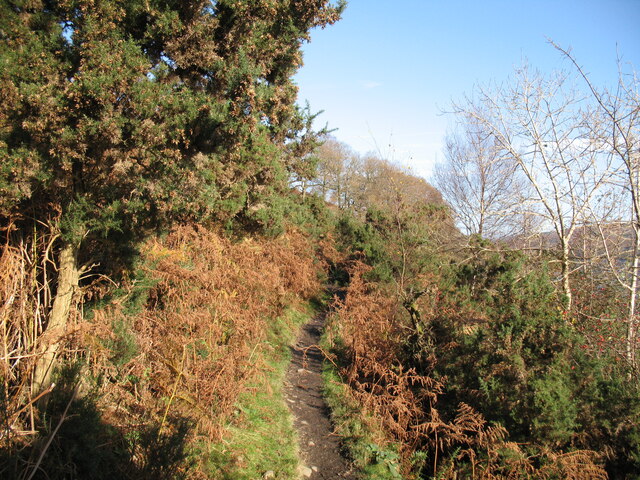
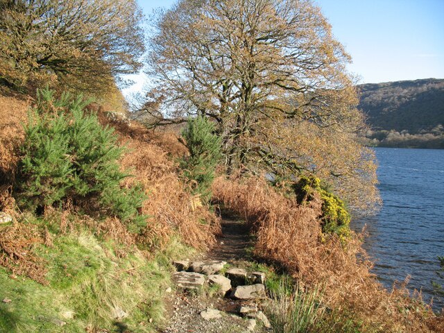
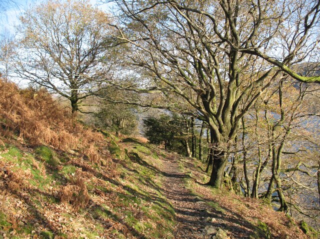
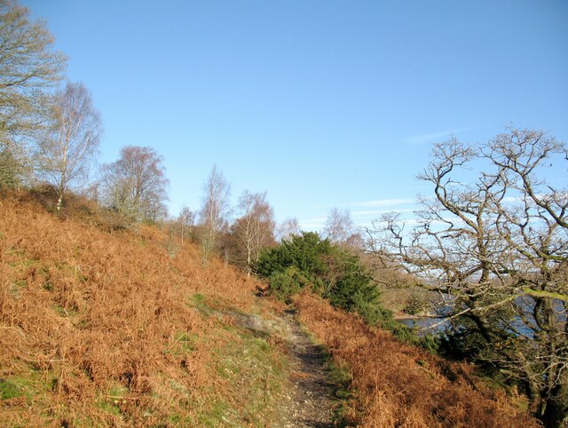
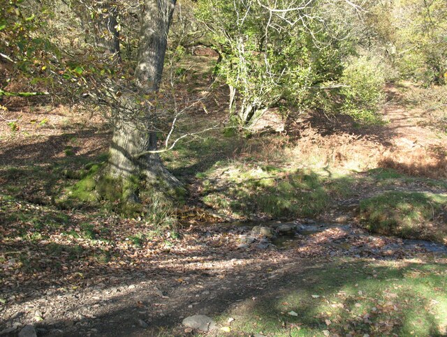
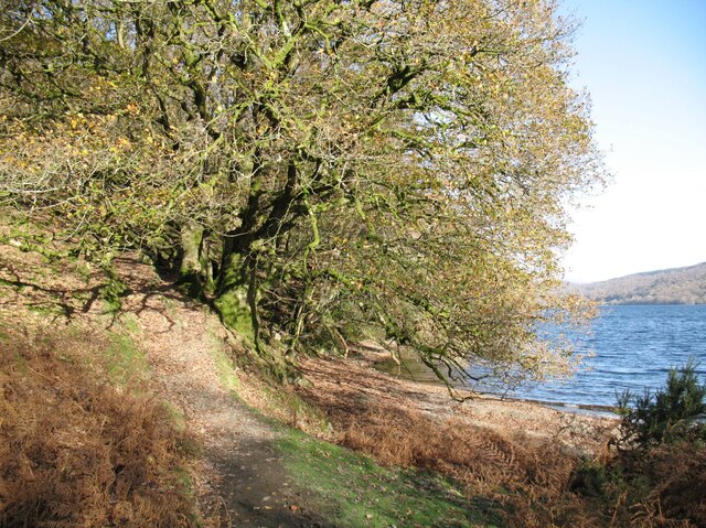
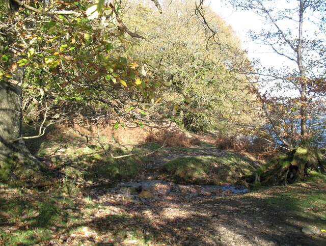
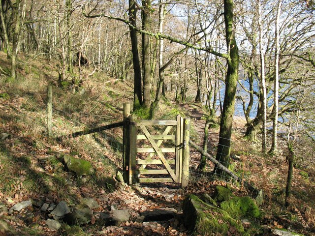
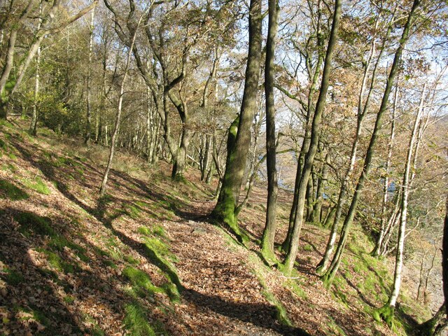
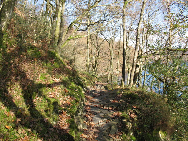
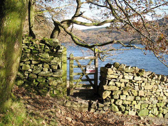
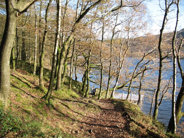
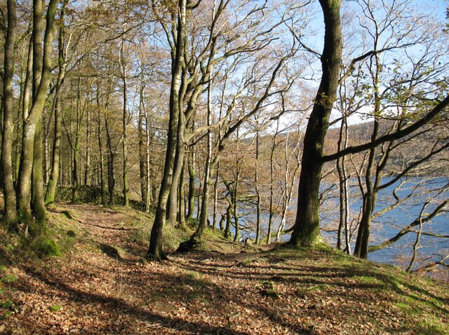
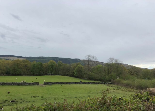
Fir Island Images
Images are sourced within 2km of 54.338566/-3.0692365 or Grid Reference SD3094. Thanks to Geograph Open Source API. All images are credited.
Fir Island is located at Grid Ref: SD3094 (Lat: 54.338566, Lng: -3.0692365)
Administrative County: Cumbria
District: South Lakeland
Police Authority: Cumbria
What 3 Words
///wizard.shimmered.sweetened. Near Windermere, Cumbria
Nearby Locations
Related Wikis

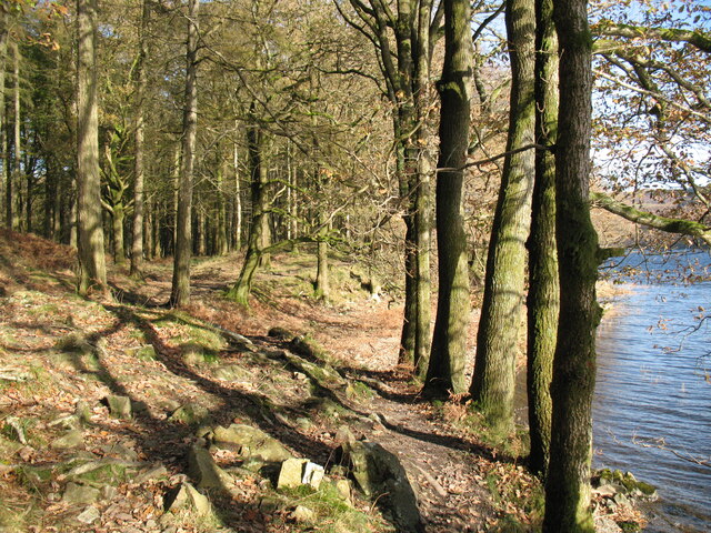
Coniston Water
Coniston Water is a lake in the Lake District in North West England. It is the third largest by volume, after Windermere and Ullswater, and the fifth-largest...

Lawson Park
Lawson Park is a remote English Lake District hillfarm, leased by Grizedale Arts (a contemporary art commissioner) from the Forestry Commission. It is...
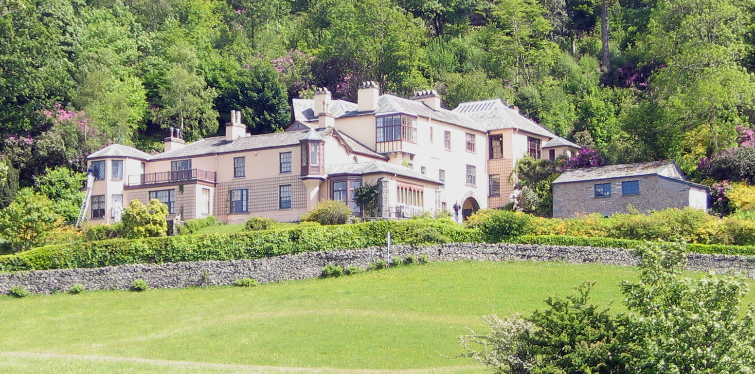
Brantwood
Brantwood is a historic house museum in Cumbria, England, overlooking Coniston Water. It has been the home of a number of prominent people. The house and...

Bowmanstead
Bowmanstead is a village in Cumbria, England. It is situated 1 mile to the south of Coniston and contains a Catholic church and a pub - The Ship Inn, it...
Nearby Amenities
Located within 500m of 54.338566,-3.0692365Have you been to Fir Island?
Leave your review of Fir Island below (or comments, questions and feedback).