Yorke Rock

Island in Glamorgan

Wales

Yorke Rock

Promenade Colonnade above Whitmore Bay
Promenade Colonnade above Whitmore Bay Credit: Alan Hughes

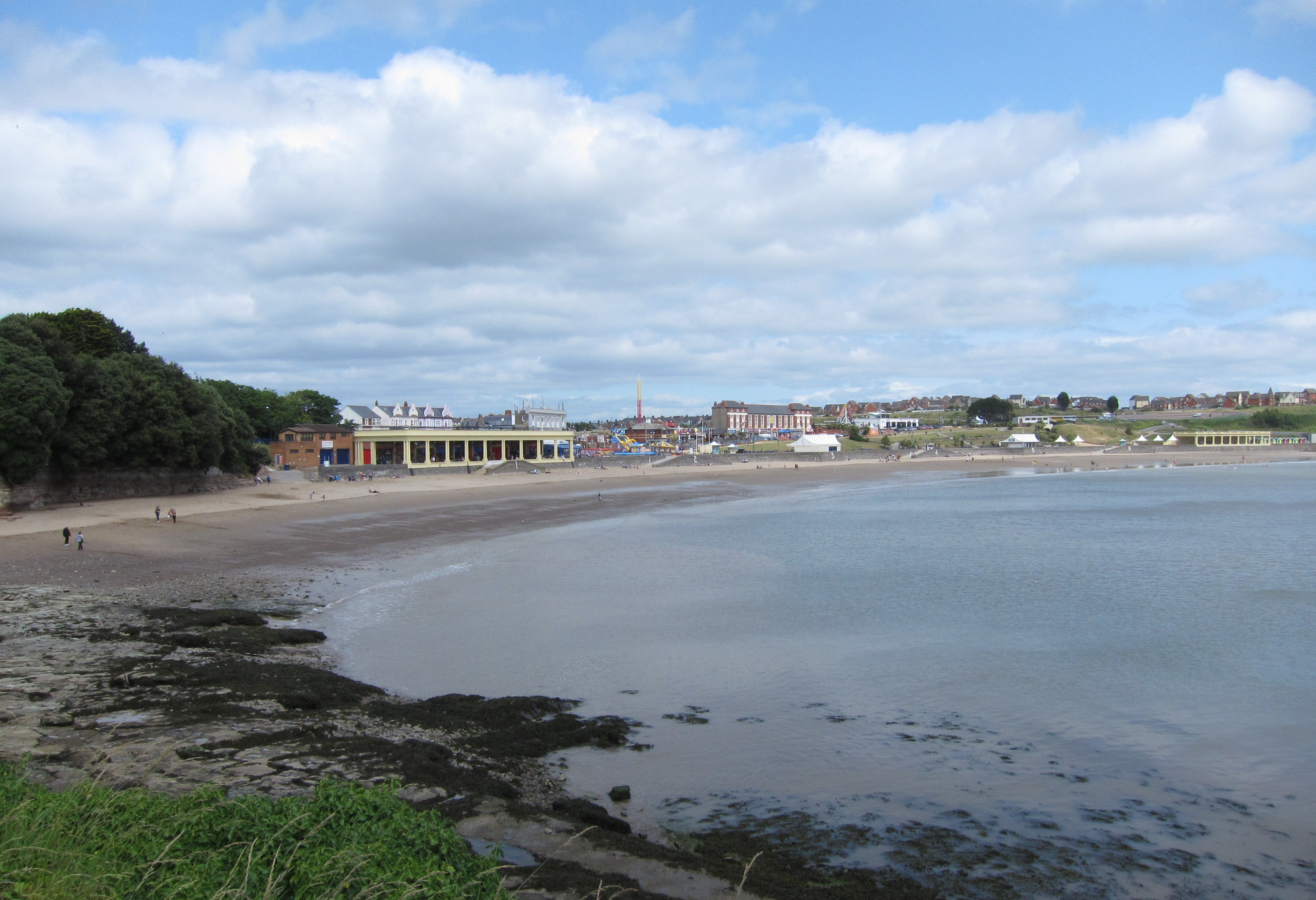
Yorke Rock is a small island located off the coast of Glamorgan, Wales. Situated in the Bristol Channel, it is approximately 1.5 miles east of the town of Porthcawl. The island is known for its stunning natural beauty and rich wildlife habitat.

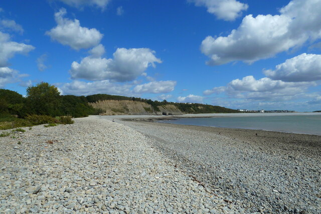
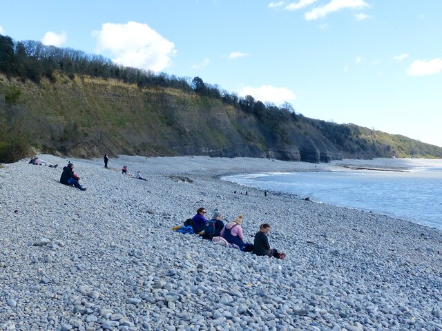
Yorke Rock is a rocky outcrop, rising about 20 meters above sea level. It has a rugged and jagged coastline, with cliffs and crevices providing nesting sites for various seabirds, including razorbills and guillemots. The island is also home to a colony of grey seals, which can often be seen basking on the rocks during low tide.

The island can only be accessed by boat, and caution is advised due to strong tidal currents in the area. It is a popular destination for birdwatchers and nature enthusiasts, who visit to observe the diverse range of avian species and enjoy the peacefulness of the island.

Yorke Rock is also of historical significance, with evidence of prehistoric human activity on the island. Archaeological discoveries suggest that it was inhabited during the Neolithic period, and remnants of ancient structures have been found. The island has been designated as a Scheduled Ancient Monument, ensuring its protection and preservation.

Overall, Yorke Rock offers a unique and picturesque experience for visitors, combining natural beauty, wildlife, and traces of human history. It is a must-visit destination for nature lovers and those seeking tranquility amidst the rugged coastal landscape of Glamorgan.

If you have any feedback on the listing, please let us know in the comments section below.
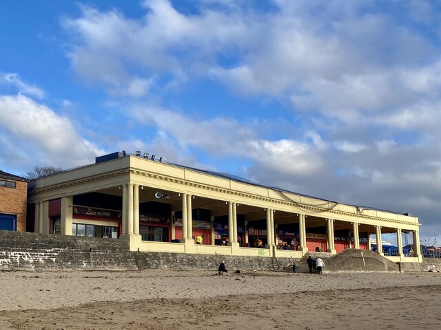
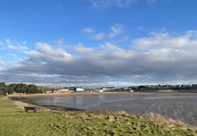
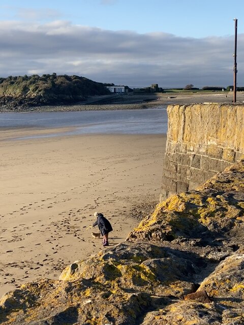
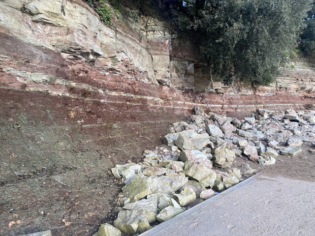
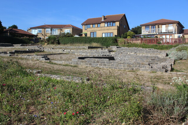
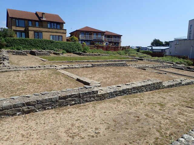
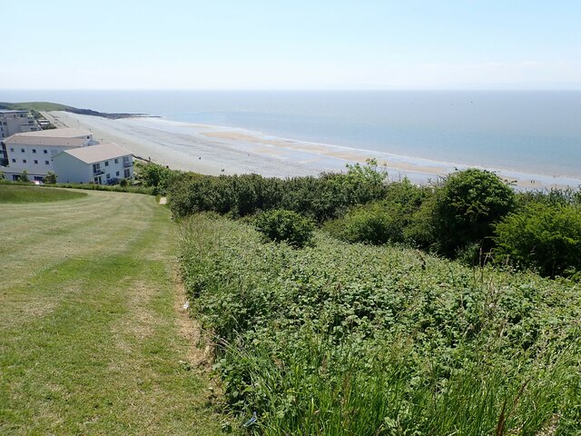
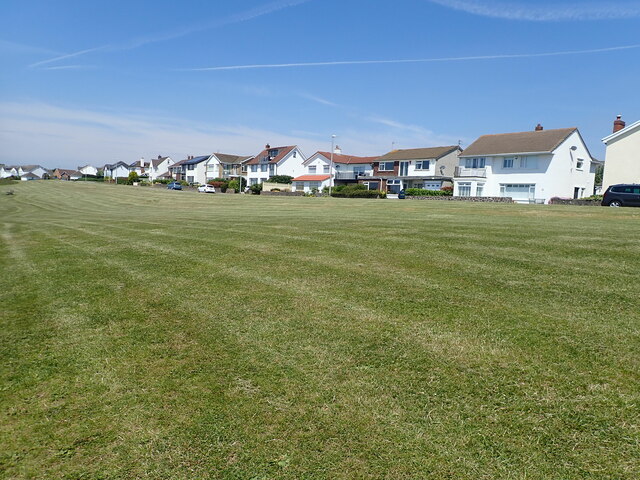
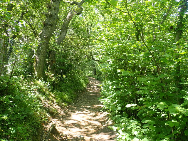
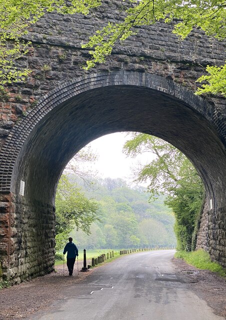
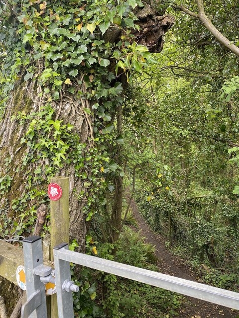
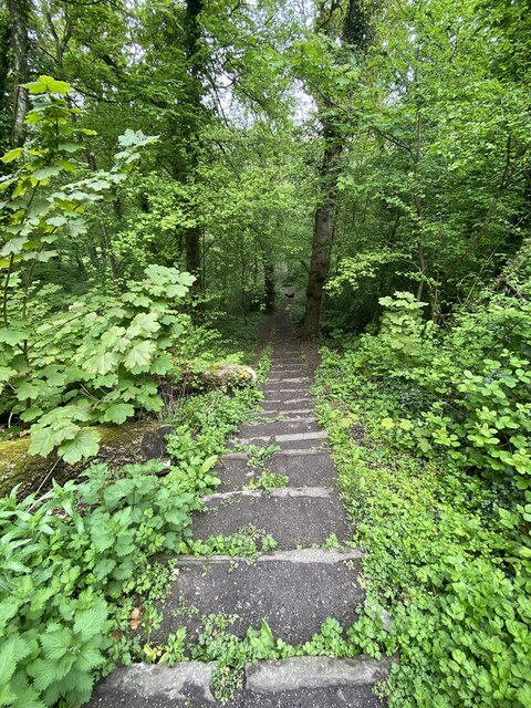
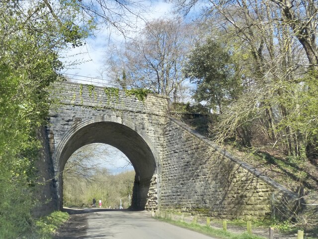
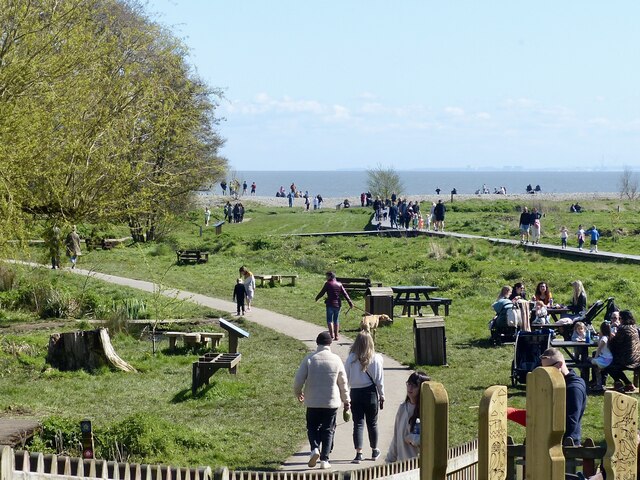
Yorke Rock Images

Images are sourced within 2km of 51.389646/-3.2853593 or Grid Reference ST1066. Thanks to Geograph Open Source API. All images are credited.

Promenade Colonnade above Whitmore Bay
Whitmore Bay, Barry Island
Fetch! Owner and dog alongside the old harbour wall.
Fetch!
Owner and dog alongside the old harbour wall.
Pigeons ready for the race … or just having a natter?
Pigeons ready for the race
… or just having a natter?
Fallen rocks Unstable cliff face at Barry Island.
Fallen rocks
Unstable cliff face at Barry Island.
Remains of Roman building, The Knapp Bases of the limestone walls of a late Roman building around a central courtyard; of uncertain function. Situated next to the Wales Coast Path amongst modern dwellings. For a better view of the far end of the site - <a href="https://www.geograph.org.uk/photo/272229">ST0966 : Roman Villa</a>.
Remains of Roman building, The Knapp
Bases of the limestone walls of a late Roman building around a central courtyard; of uncertain function. Situated next to the Wales Coast Path amongst modern dwellings. For a better view of the far end of the site - ST0966 : Roman Villa.
Roman remains, the Knap On the bank near the Knap car park are the remains of a large Roman building, believed to have been constructed c 290 A.D. Limestone and brick was taken from the site in the Middle Ages and used to build Barry Castle.
Roman remains, the Knap
On the bank near the Knap car park are the remains of a large Roman building, believed to have been constructed c 290 A.D. Limestone and brick was taken from the site in the Middle Ages and used to build Barry Castle.
Wales Coast Path near the Knap, Barry A steep hill to the top of Bull Cliff
Wales Coast Path near the Knap, Barry
A steep hill to the top of Bull Cliff
Houses on Marine Drive Above Bull Cliff
Houses on Marine Drive
Above Bull Cliff
Wales Coast Path in Cliff Wood On the way to Porothkerry
Wales Coast Path in Cliff Wood
On the way to Porothkerry
Porthkerry Beach and Bull Cliff Porthkerry beach and Bull Cliff looking north east towards Cold Knapp.
Porthkerry Beach and Bull Cliff
Porthkerry beach and Bull Cliff looking north east towards Cold Knapp.
Walking with two poles The bridge is still in use, carrying the Vale of Glamorgan line from Barry to Bridgend.
Walking with two poles
The bridge is still in use, carrying the Vale of Glamorgan line from Barry to Bridgend.
Public footpath Path through Porthkerry Park.
Public footpath
Path through Porthkerry Park.
Horse chestnut blossom
Woodland steps Steps down into Cwm Barri and Porthkerry Park.
Woodland steps
Steps down into Cwm Barri and Porthkerry Park.
Railway bridge, Porthkerry Country Park Near the entrance to the park.
On the Vale of Glamorgan railway line.
Railway bridge, Porthkerry Country Park
Near the entrance to the park. On the Vale of Glamorgan railway line.
Porthkerry Country Park Looking towards the Bristol Channel with the Somerset coastline on the horizon.
Porthkerry Country Park
Looking towards the Bristol Channel with the Somerset coastline on the horizon.
On the shore of the Bristol Channel  A pebbly beach which is accessible from Porthkerry Country Park. With fragile Bull Cliff behind.
On the shore of the Bristol Channel
A pebbly beach which is accessible from Porthkerry Country Park. With fragile Bull Cliff behind.
Show me another place!

Yorke Rock is located at Grid Ref: ST1066 (Lat: 51.389646, Lng: -3.2853593)

Unitary Authority: The Vale of Glamorgan

Police Authority: South Wales

What 3 Words

///silver.loyal.leave. Near Barry, Vale of Glamorgan

Related Wikis

Cold Knap

Cold Knap is a district of Barry in South Wales. == Amenities == Cold Knap is a coastal pebble beach (with some sand at low tide), approximately a mile...

Barry Island Pleasure Park

Barry Island Pleasure Park is an amusement park situated on the coast at Barry Island in the Vale of Glamorgan, about 10 mi (16 km) south west of the capital...

Barry Tourist Railway

The Barry Tourist Railway (formerly the Barry Island Railway) is a railway developed to attract visitors to Barry in the Vale of Glamorgan, South Wales...

Barry Island

Barry Island (Welsh: Ynys y Barri) is a district, peninsula and seaside resort, forming part of the town of Barry in the Vale of Glamorgan, South Wales...

Nearby Amenities

Located within 500m of 51.389646,-3.2853593
Source: PGS
Lat/Long: 51.3890683/-3.2797947
Source: PGS
Lat/Long: 51.3900307/-3.2784073
Source: PGS
Lat/Long: 51.3860907/-3.2894559
Source: PGS
Lat/Long: 51.3868389/-3.2891716
Source: PGS
Lat/Long: 51.3873879/-3.2889757
Source: PGS
Lat/Long: 51.3876239/-3.2896356
Source: PGS
Lat/Long: 51.3934569/-3.2822058
Source: PGS
Lat/Long: 51.3921933/-3.2797383
Source: PGS
Lat/Long: 51.3915421/-3.2801138
Source: PGS
Lat/Long: 51.3910586/-3.2803095
Source: PGS
Lat/Long: 51.3907137/-3.2807575
Source: PGS
Lat/Long: 51.3905102/-3.2812721
Source: PGS
Lat/Long: 51.3903957/-3.2818169
Source: PGS
Lat/Long: 51.3903003/-3.2823427
Source: PGS
Lat/Long: 51.3901966/-3.2830105
Source: PGS
Lat/Long: 51.3901229/-3.2834343
Source: PGS
Lat/Long: 51.3900417/-3.2838458
Source: PGS
Lat/Long: 51.389912/-3.2843805
Source: PGS
Lat/Long: 51.3898583/-3.2847406
Source: PGS
Lat/Long: 51.3898508/-3.2849221
Source: PGS
Lat/Long: 51.3898269/-3.2852018
Source: PGS
Lat/Long: 51.3897514/-3.2856659
Source: PGS
Lat/Long: 51.3896957/-3.2858125
Source: PGS
Lat/Long: 51.3896626/-3.2858369
Source: PGS
Lat/Long: 51.3896879/-3.2856796
Source: PGS
Lat/Long: 51.3897389/-3.2855456
Barrier: bollard
Lat/Long: 51.3895413/-3.2907034
The Knap
Place: suburb
Wikidata: Q5142291
Lat/Long: 51.3905035/-3.2915015
Watch House Bay
Name Cy: Bae'r Tŵr Gwylio
Natural: bay
Source: OS_OpenData_StreetView
Lat/Long: 51.3882163/-3.2891681
Bench
Backrest: yes
Source: survey
Lat/Long: 51.3885867/-3.2798648
Bus Stop
Bus: yes
Naptan AtcoCode: 5720AWA11831
Naptan NaptanCode: vglgdtj
Public Transport: platform
Route Ref: 95;96;100;B3;X5;X45
Shelter: yes
Source: survey
Lat/Long: 51.3938467/-3.2865945
Post Box
Mapillary: 1980730818775433
Post Box Type: pillar
Ref: CF62 11
Source: survey
Survey Date: 2021-06-27
Lat/Long: 51.3937622/-3.2862286
Seamark Light Category: vertical
Seamark Light Character: F
Seamark Light Colour: green
Seamark Light Height: 5
Seamark Light Multiple: 2
Seamark Light Range: 5
Seamark Light Reference: A 5411
Seamark Type: light_minor
Source: US NGA Pub. 114. 2011-05-26.
Lat/Long: 51.3896621/-3.2858024
Man Made: flagpole
Lat/Long: 51.3889461/-3.2810776
Lifeguard
Description: Lifeguard Station
Emergency: lifeguard
Opening Hours: Varied
Lat/Long: 51.3874377/-3.2904382
Traffic Signals
Lat/Long: 51.3938187/-3.2856942
Traffic Signals
Lat/Long: 51.3939294/-3.2857821
Friar's Point
Name Cy: Pentir y Brodyr
Natural: cape
Lat/Long: 51.3874368/-3.280222
Cold Knap Point
Natural: cape
Lat/Long: 51.3868811/-3.2901967
Little Island Bay
Natural: bay
Lat/Long: 51.388103/-3.2834459
Old Harbour
Natural: bay
Lat/Long: 51.3919571/-3.2838492
Direction: 215
Generator Method: photovoltaic
Generator Output Electricity: yes
Generator Solar Modules: 16
Generator Source: solar
Generator Type: solar_photovoltaic_panel
Location: roof
Power: generator
Lat/Long: 51.3932768/-3.2880416
Direction: 35
Generator Method: photovoltaic
Generator Output Electricity: yes
Generator Solar Modules: 4
Generator Source: solar
Generator Type: solar_photovoltaic_panel
Location: roof
Power: generator
Lat/Long: 51.3929279/-3.2883199
Direction: 125
Generator Method: photovoltaic
Generator Output Electricity: yes
Generator Solar Modules: 3
Generator Source: solar
Generator Type: solar_photovoltaic_panel
Location: roof
Power: generator
Lat/Long: 51.3928994/-3.2883286
Direction: 215
Generator Method: photovoltaic
Generator Output Electricity: yes
Generator Solar Modules: 4
Generator Source: solar
Generator Type: solar_photovoltaic_panel
Location: roof
Power: generator
Lat/Long: 51.3928908/-3.2883802
Direction: 215
Generator Method: photovoltaic
Generator Output Electricity: yes
Generator Solar Modules: 14
Generator Source: solar
Generator Type: solar_photovoltaic_panel
Location: roof
Power: generator
Lat/Long: 51.39174/-3.2899822
Direction: 175
Generator Method: photovoltaic
Generator Output Electricity: yes
Generator Solar Modules: 6
Generator Source: solar
Generator Type: solar_photovoltaic_panel
Location: roof
Power: generator
Lat/Long: 51.3902454/-3.2919107
Direction: 170
Generator Method: photovoltaic
Generator Output Electricity: yes
Generator Solar Modules: 11
Generator Source: solar
Generator Type: solar_photovoltaic_panel
Location: roof
Power: generator
Lat/Long: 51.3910557/-3.2918875
Drinking Water
Access: yes
Bottle: yes
Covered: no
Fee: no
Note: rough location
Operator: Vale of Glamorgan County Borough Council
Wheelchair: yes
Lat/Long: 51.3877286/-3.2906342
The data included in this document is from www.openstreetmap.org. The data is made available under ODbL.

Have you been to Yorke Rock?

Leave your review of Yorke Rock below (or comments, questions and feedback).