Marine Lake
Lake, Pool, Pond, Freshwater Marsh in Glamorgan
Wales
Marine Lake
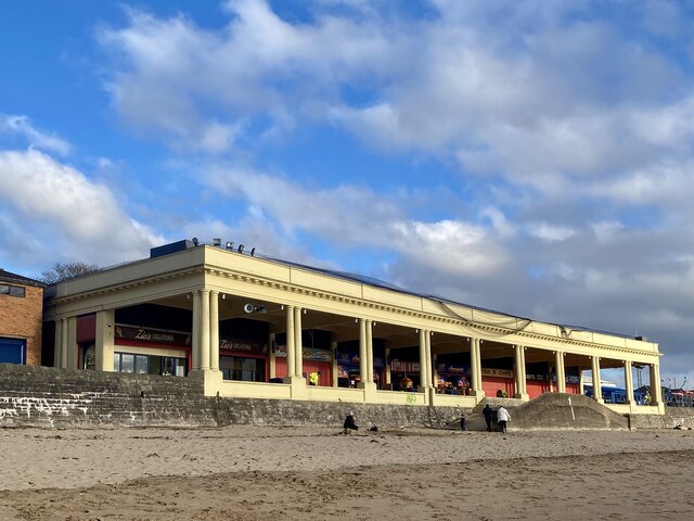
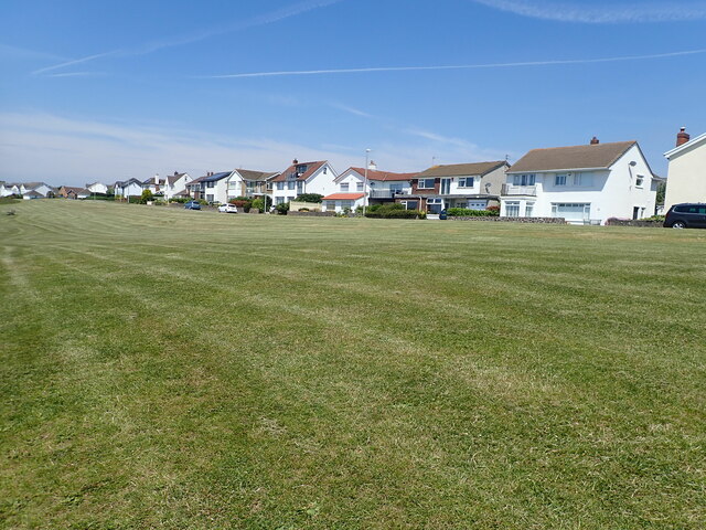
Marine Lake, located in Glamorgan, Wales, is a picturesque body of water that serves as a popular recreational area for locals and tourists alike. This man-made lake is an integral part of the coastal landscape and boasts a range of features, including a pool, pond, and freshwater marsh.
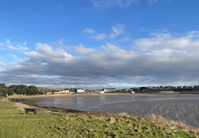
Covering an area of approximately 35 acres, Marine Lake offers a diverse range of habitats that attract a variety of wildlife, making it a haven for nature enthusiasts. The lake itself is a large, open expanse of water that is perfect for water-based activities such as sailing, kayaking, and paddleboarding. Its calm waters and gentle currents make it an ideal spot for beginners and experienced water sports enthusiasts alike.
Adjacent to the lake is a pool, which is a designated area for swimming. With its crystal-clear waters and sandy bottom, it provides a safe and enjoyable environment for those looking to take a dip and cool off during the summer months.
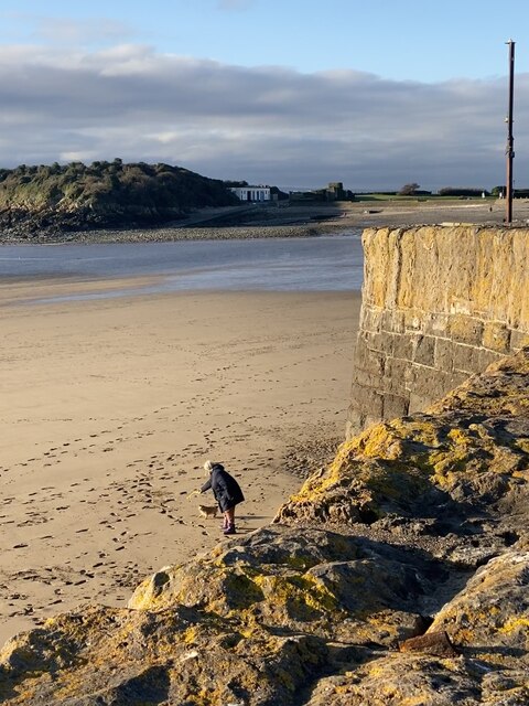
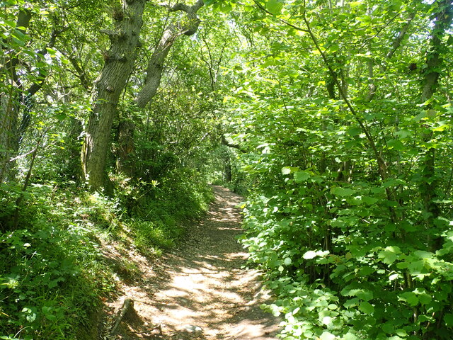
Surrounding the lake are lush vegetation and reed beds that make up the freshwater marsh. This unique ecosystem supports a wide range of plant and animal species, including various waterfowl, fish, and insects. The marsh is a haven for birdwatching enthusiasts, who can spot species such as herons, swans, and ducks in their natural habitat.
Overall, Marine Lake in Glamorgan offers a diverse range of recreational opportunities and is a haven for wildlife. Whether visitors are looking to engage in water sports, relax on the sandy shores, or observe the local flora and fauna, Marine Lake provides a serene and picturesque setting for all.
If you have any feedback on the listing, please let us know in the comments section below.
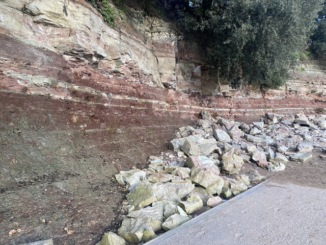
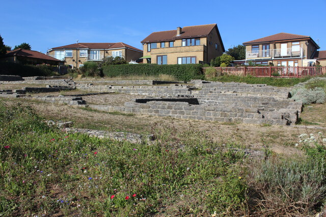
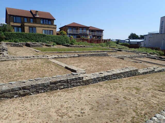
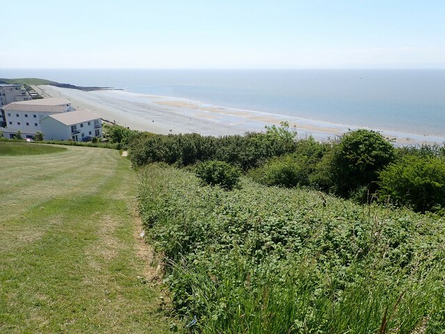
Marine Lake Images
Images are sourced within 2km of 51.389504/-3.293375 or Grid Reference ST1066. Thanks to Geograph Open Source API. All images are credited.


Marine Lake is located at Grid Ref: ST1066 (Lat: 51.389504, Lng: -3.293375)
Unitary Authority: The Vale of Glamorgan
Police Authority: South Wales
What 3 Words
///yacht.dirt.across. Near Barry, Vale of Glamorgan
Nearby Locations
Related Wikis

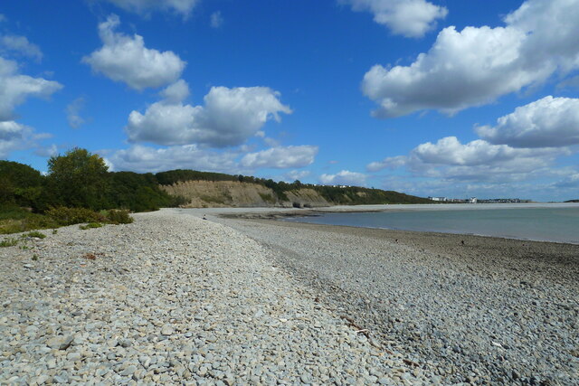
Cold Knap
Cold Knap is a district of Barry in South Wales. == Amenities == Cold Knap is a coastal pebble beach (with some sand at low tide), approximately a mile...

Barry railway station
Barry railway station (Welsh: Y Barri) is one of three stations serving the town of Barry, Vale of Glamorgan in South Wales. This one, Barry Town, is preceded...

Romilly, Vale of Glamorgan
Romilly is a western district of Barry in the Vale of Glamorgan, South Wales, United Kingdom. The area has an attractive public park which includes an...

Woodham Brothers
Woodham Brothers Ltd is a trading business, based mainly around activities and premises located within Barry Docks, in Barry, South Wales. It is noted...
Nearby Amenities
Located within 500m of 51.389504,-3.293375Have you been to Marine Lake?
Leave your review of Marine Lake below (or comments, questions and feedback).