Eilean Cam
Island in Argyllshire
Scotland
Eilean Cam

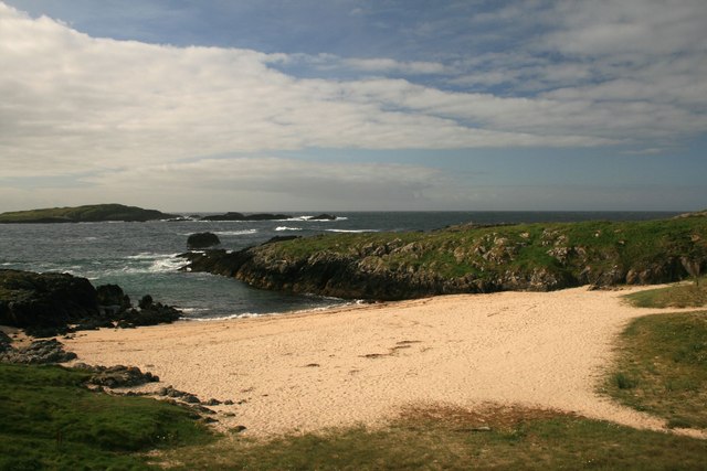
Eilean Cam is a small island located in Argyllshire, Scotland. It is situated in the Firth of Lorn, a picturesque sea loch known for its stunning natural beauty. The island is approximately 0.8 hectares in size, making it a tiny but charming piece of land.
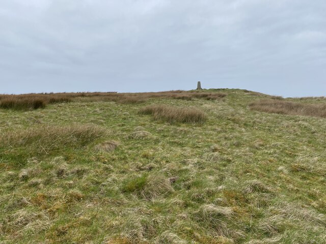
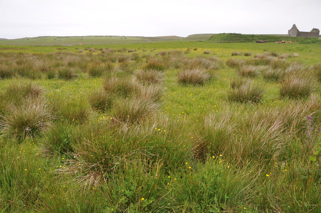
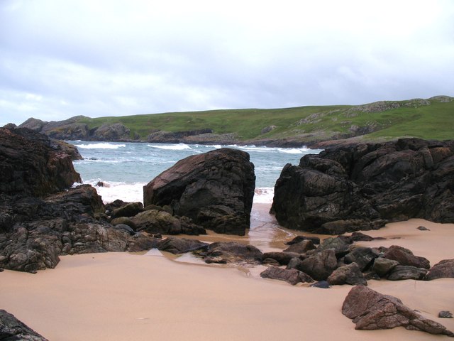
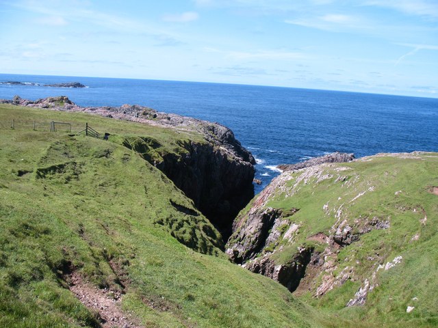
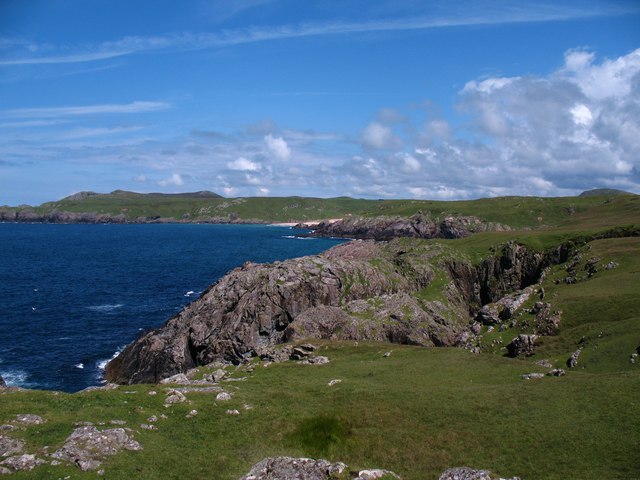
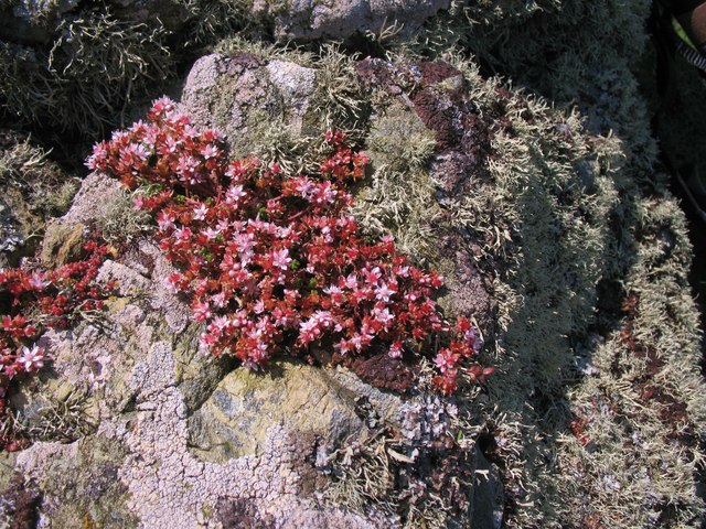
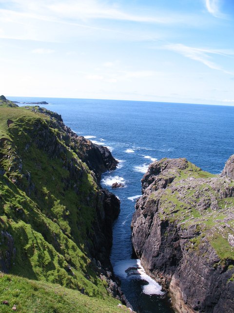
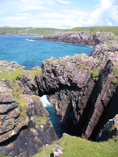
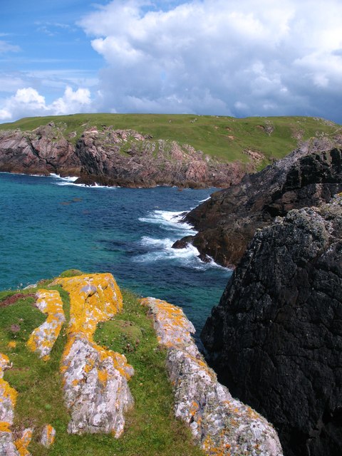
Eilean Cam is uninhabited and lacks any infrastructure or human settlements. It is mostly covered in grass and low-lying plants, with a few scattered trees providing some shade. The island's rugged coastline is home to various seabirds, including gulls and cormorants, which can often be seen nesting along the rocky cliffs.
Access to Eilean Cam is challenging due to its remote location and lack of transportation options. However, it is possible to reach the island by boat, either privately owned or by arranging a tour with local boat operators. The journey to Eilean Cam offers breathtaking views of the surrounding Argyllshire coastline and the nearby Isle of Mull.
Visitors to Eilean Cam can enjoy the tranquility and untouched nature of the island. The absence of human presence provides a unique opportunity to experience a sense of isolation and escape from the bustling world. Nature lovers can explore the island's rocky shores, observe the diverse birdlife, or simply relax and enjoy the peaceful surroundings.
Overall, Eilean Cam is a small yet captivating island that offers a glimpse into Scotland's rugged beauty. Its remote location and untouched nature make it a perfect destination for those seeking solitude and a true connection with the natural world.
If you have any feedback on the listing, please let us know in the comments section below.
Eilean Cam Images
Images are sourced within 2km of 55.698702/-6.5146604 or Grid Reference NR1654. Thanks to Geograph Open Source API. All images are credited.


Eilean Cam is located at Grid Ref: NR1654 (Lat: 55.698702, Lng: -6.5146604)
Unitary Authority: Argyll and Bute
Police Authority: Argyll and West Dunbartonshire
What 3 Words
///part.relishing.jingles. Near Portnahaven, Argyll & Bute
Related Wikis

Islay LIMPET
Islay LIMPET was the world's first commercial wave power device and was connected to the United Kingdom's National Grid. == History == Islay LIMPET (Land...

Eilean Mhic Coinnich
Eilean Mhic Coinnich, also known as Mackenzie Island (although recorded on the Land Register as McKenseys Island), is an uninhabited island of 17.3 hectares...

Portnahaven
Portnahaven (Scottish Gaelic: Port na h-Abhainne, meaning river port) is a village on Islay in the Inner Hebrides, Scotland. The village is within the...

Orsay, Inner Hebrides
Orsay (Scottish Gaelic: Orasaigh) is a small island in the Inner Hebrides of Scotland. It lies a short distance off the west coast of the island of Islay...
Have you been to Eilean Cam?
Leave your review of Eilean Cam below (or comments, questions and feedback).