Cnoc Buidhe Clèit
Hill, Mountain in Argyllshire
Scotland
Cnoc Buidhe Clèit

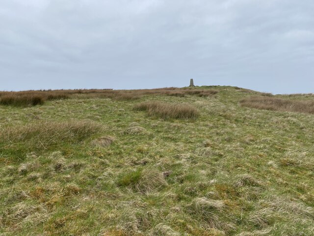
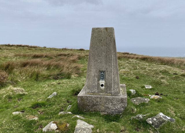
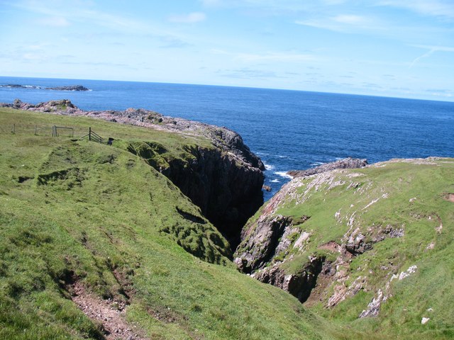
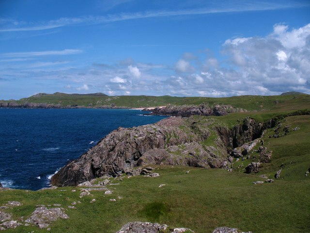
Cnoc Buidhe Clèit, also known as Cnoc Buidhe, is a prominent hill located in Argyllshire, Scotland. It is situated in the southern part of the county, close to the village of Clachan. Standing at an elevation of approximately 485 meters (1,591 feet), Cnoc Buidhe Clèit offers breathtaking panoramic views of the surrounding landscape.
The hill is characterized by its distinct golden color, which is a result of the presence of yellowish grass and heather covering its slopes. The terrain is generally rugged and rocky, with some steep sections that require careful navigation for climbers and hikers. The ascent to the summit can be challenging but rewarding, as it provides stunning vistas of the coastal areas and nearby hills.
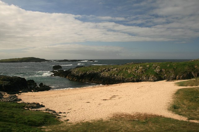
Cnoc Buidhe Clèit is a popular destination for outdoor enthusiasts, attracting hikers, mountaineers, and nature lovers. Its location within the stunning Scottish countryside makes it an ideal spot for those seeking tranquility and natural beauty. The hill is also home to a diverse range of flora and fauna, including various species of birds, wildflowers, and small mammals.
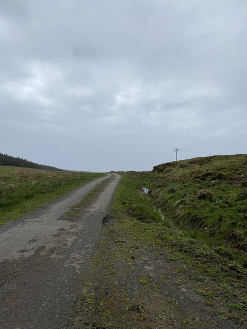
Access to Cnoc Buidhe Clèit is relatively straightforward, with several well-defined paths and trails leading to the summit. The surrounding area offers ample parking facilities and amenities for visitors. It is advisable to check weather conditions and ensure proper equipment before embarking on a hike to the hill, as the weather in the region can be unpredictable.
Overall, Cnoc Buidhe Clèit is a captivating natural landmark in Argyllshire, providing an opportunity for outdoor exploration and a chance to immerse oneself in the stunning Scottish countryside.
If you have any feedback on the listing, please let us know in the comments section below.
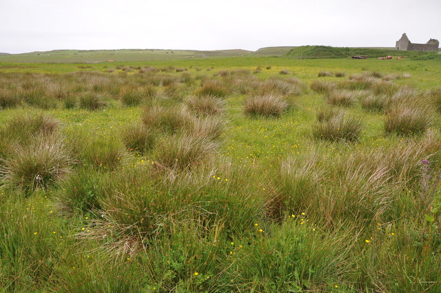
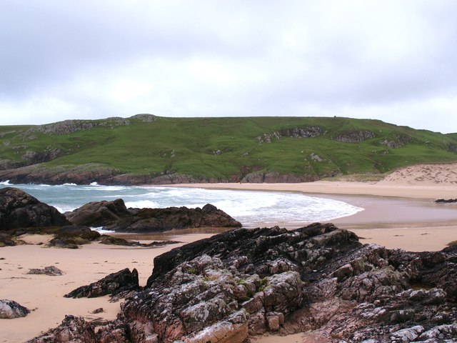
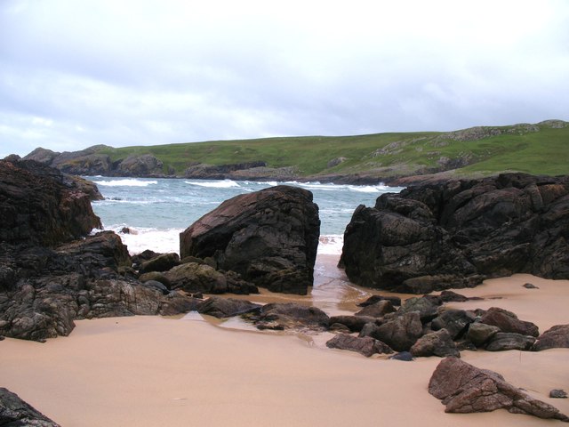
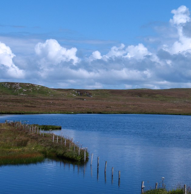
Cnoc Buidhe Clèit Images
Images are sourced within 2km of 55.698412/-6.5090999 or Grid Reference NR1654. Thanks to Geograph Open Source API. All images are credited.


Cnoc Buidhe Clèit is located at Grid Ref: NR1654 (Lat: 55.698412, Lng: -6.5090999)
Unitary Authority: Argyll and Bute
Police Authority: Argyll and West Dunbartonshire
What 3 Words
///facing.paused.withdraws. Near Portnahaven, Argyll & Bute
Related Wikis

Islay LIMPET
Islay LIMPET was the world's first commercial wave power device and was connected to the United Kingdom's National Grid. == History == Islay LIMPET (Land...

Eilean Mhic Coinnich
Eilean Mhic Coinnich, also known as Mackenzie Island (although recorded on the Land Register as McKenseys Island), is an uninhabited island of 17.3 hectares...

Portnahaven
Portnahaven (Scottish Gaelic: Port na h-Abhainne, meaning river port) is a village on Islay in the Inner Hebrides, Scotland. The village is within the...

Orsay, Inner Hebrides
Orsay (Scottish Gaelic: Orasaigh) is a small island in the Inner Hebrides of Scotland. It lies a short distance off the west coast of the island of Islay...
Have you been to Cnoc Buidhe Clèit?
Leave your review of Cnoc Buidhe Clèit below (or comments, questions and feedback).