Cnoc Àirigh nam Feadan
Hill, Mountain in Ross-shire
Scotland
Cnoc Àirigh nam Feadan
Cnoc Àirigh nam Feadan is a prominent hill/mountain located in Ross-shire, Scotland. It is situated in the northwest region of the country, specifically within the Wester Ross area. With an elevation of approximately 625 meters (2,051 feet), it offers stunning views of the surrounding landscape.
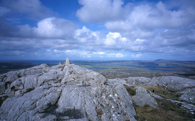
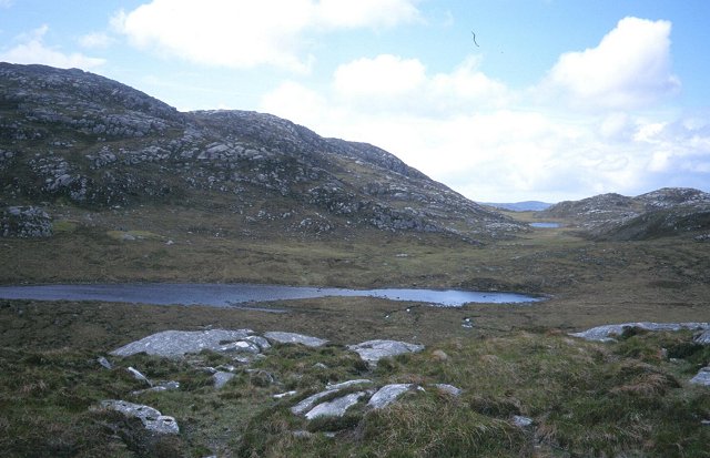
The hill/mountain is characterized by its rugged and rocky terrain, typical of the Scottish Highlands. It is covered in heather and scattered with boulders, giving it a wild and untamed appearance. Cnoc Àirigh nam Feadan is part of the wider mountain range known as the Torridon Mountains, which are renowned for their dramatic peaks and glacially-carved valleys.
Reaching the summit of Cnoc Àirigh nam Feadan can be a challenging but rewarding experience for avid hikers and mountaineers. There are several routes to choose from, varying in difficulty and length. The ascent typically involves traversing steep slopes and navigating rocky outcrops, requiring a certain level of fitness and experience.
From the top, visitors are rewarded with breathtaking panoramic views of the surrounding countryside. On clear days, it is possible to see the nearby lochs, including Loch Torridon, as well as the towering peaks of the Torridon Mountains. The hill/mountain is also home to a variety of wildlife, such as red deer and golden eagles, making it a popular spot for nature enthusiasts.
In summary, Cnoc Àirigh nam Feadan is a striking hill/mountain in Ross-shire, Scotland, offering challenging hikes and stunning vistas of the Scottish Highlands.
If you have any feedback on the listing, please let us know in the comments section below.
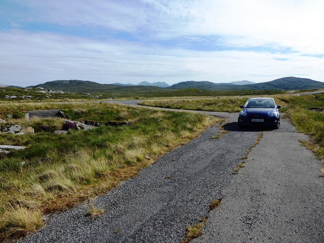
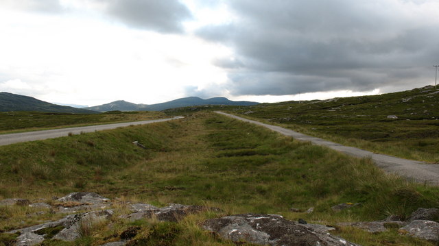
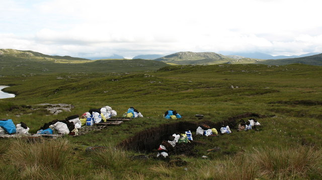
Cnoc Àirigh nam Feadan Images
Images are sourced within 2km of 58.152172/-6.8155709 or Grid Reference NB1628. Thanks to Geograph Open Source API. All images are credited.
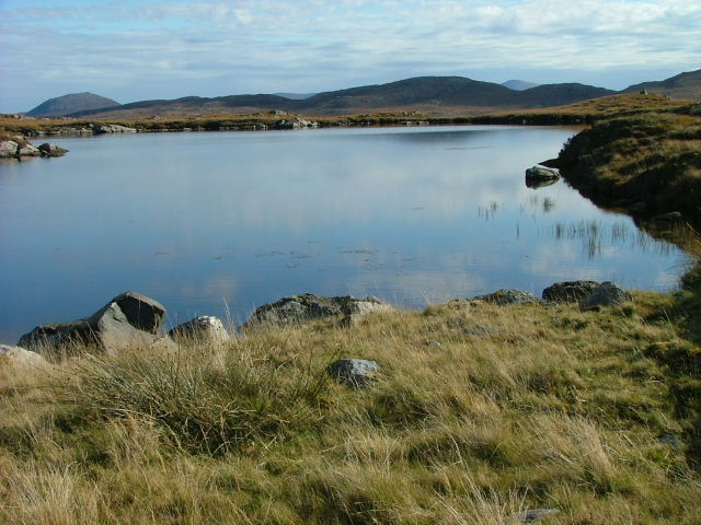
![A very odd lochan. There's nothing particularly unusual about this tiny, unnamed lochan close to the B8011, but maybe the cartographer made a mistake? The map shows a black outline around the loch, indicating [usually] tidal water, but it would seem unusual for the tide to reach 75 metres above its normal level.](https://s0.geograph.org.uk/photos/50/98/509888_3e14e61f.jpg)

Cnoc Àirigh nam Feadan is located at Grid Ref: NB1628 (Lat: 58.152172, Lng: -6.8155709)
Unitary Authority: Na h-Eileanan an Iar
Police Authority: Highlands and Islands
What 3 Words
///lately.torso.household. Near Carloway, Na h-Eileanan Siar
Nearby Locations
Related Wikis

Gisla Hydro-Electric Scheme
Gisla Hydro-Electric Scheme was a small scheme promoted by the North of Scotland Hydro-Electric Board on the Isle of Lewis, Outer Hebrides, Scotland. It...

Callanish VIII
The Callanish VIII stone setting is one of many megalithic structures around the better-known (and larger) Calanais I on the west coast of the Isle of...

Eilean Chearstaidh
Eilean Kearstay (Scottish Gaelic: Eilean Chearstaigh) is an uninhabited island in Loch Roag in the Outer Hebrides of Scotland. It lies south east of Great...

Callanish Stones
The Callanish Stones (or "Callanish I": Scottish Gaelic: Clachan Chalanais or Tursachan Chalanais) are an arrangement of standing stones placed in a cruciform...
Nearby Amenities
Located within 500m of 58.152172,-6.8155709Have you been to Cnoc Àirigh nam Feadan?
Leave your review of Cnoc Àirigh nam Feadan below (or comments, questions and feedback).