Da Loch Àirigh nam Feadan
Lake, Pool, Pond, Freshwater Marsh in Ross-shire
Scotland
Da Loch Àirigh nam Feadan
Da Loch Àirigh nam Feadan is a picturesque freshwater body located in Ross-shire, Scotland. Nestled amidst the stunning Scottish Highlands, this natural wonder serves as a haven for wildlife and a popular destination for nature enthusiasts.
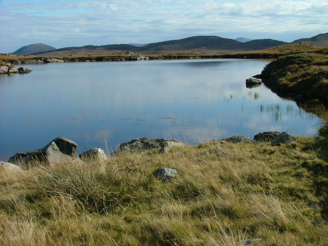
Covering an area of approximately 50 hectares, Da Loch Àirigh nam Feadan is characterized by its tranquil ambiance and breathtaking surroundings. The lake itself boasts crystal clear waters that reflect the surrounding mountains and lush vegetation. Its shallow depth and calm currents make it a perfect habitat for a wide variety of freshwater species.
The lake is home to an array of fish species, including brown trout, salmon, and arctic char. These thriving populations attract anglers from far and wide, eager to test their skills against the elusive fish. The surrounding marshland provides a rich feeding ground for numerous bird species, such as herons, ducks, and grebes. Birdwatchers can often spot these feathered creatures in their natural habitat, adding to the overall charm of the area.
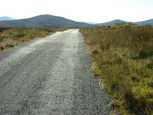
For those seeking to explore the lake and its surroundings, there are plenty of walking trails and viewpoints that offer stunning vistas of the surrounding landscape. The nearby hills and mountains also provide opportunities for hiking and mountaineering, further enhancing the outdoor experience.
Da Loch Àirigh nam Feadan is a true gem of Ross-shire, offering visitors a chance to reconnect with nature and experience the raw beauty of the Scottish Highlands. Whether it's fishing, birdwatching, or simply enjoying the peaceful atmosphere, this lake provides an unforgettable experience for all who visit.
If you have any feedback on the listing, please let us know in the comments section below.
Da Loch Àirigh nam Feadan Images
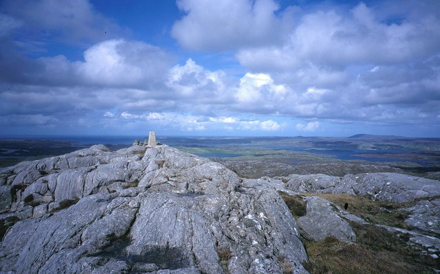
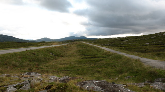
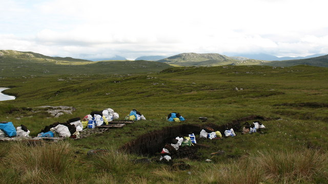
Images are sourced within 2km of 58.154082/-6.8159657 or Grid Reference NB1628. Thanks to Geograph Open Source API. All images are credited.
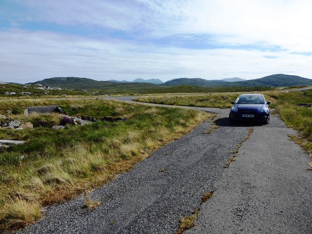
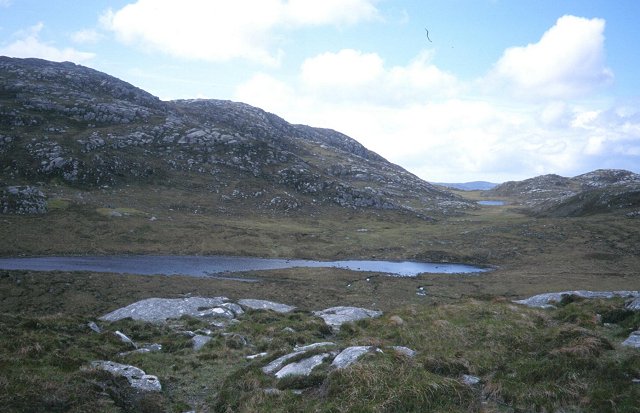
![A very odd lochan. There's nothing particularly unusual about this tiny, unnamed lochan close to the B8011, but maybe the cartographer made a mistake? The map shows a black outline around the loch, indicating [usually] tidal water, but it would seem unusual for the tide to reach 75 metres above its normal level.](https://s0.geograph.org.uk/photos/50/98/509888_3e14e61f.jpg)

Da Loch Àirigh nam Feadan is located at Grid Ref: NB1628 (Lat: 58.154082, Lng: -6.8159657)
Unitary Authority: Na h-Eileanan an Iar
Police Authority: Highlands and Islands
What 3 Words
///barstool.writings.compress. Near Carloway, Na h-Eileanan Siar
Nearby Locations
Related Wikis

Gisla Hydro-Electric Scheme
Gisla Hydro-Electric Scheme was a small scheme promoted by the North of Scotland Hydro-Electric Board on the Isle of Lewis, Outer Hebrides, Scotland. It...

Callanish VIII
The Callanish VIII stone setting is one of many megalithic structures around the better-known (and larger) Calanais I on the west coast of the Isle of...

Eilean Chearstaidh
Eilean Kearstay (Scottish Gaelic: Eilean Chearstaigh) is an uninhabited island in Loch Roag in the Outer Hebrides of Scotland. It lies south east of Great...

Callanish Stones
The Callanish Stones (or "Callanish I": Scottish Gaelic: Clachan Chalanais or Tursachan Chalanais) are an arrangement of standing stones placed in a cruciform...
Nearby Amenities
Located within 500m of 58.154082,-6.8159657Have you been to Da Loch Àirigh nam Feadan?
Leave your review of Da Loch Àirigh nam Feadan below (or comments, questions and feedback).