Geodha Carraig Anna
Coastal Feature, Headland, Point in Argyllshire
Scotland
Geodha Carraig Anna

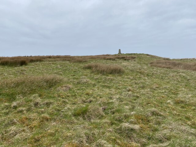
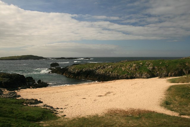
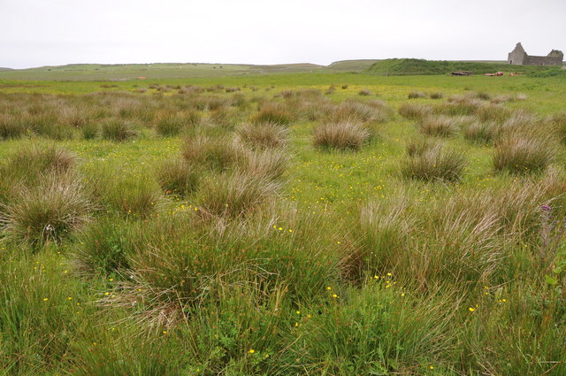
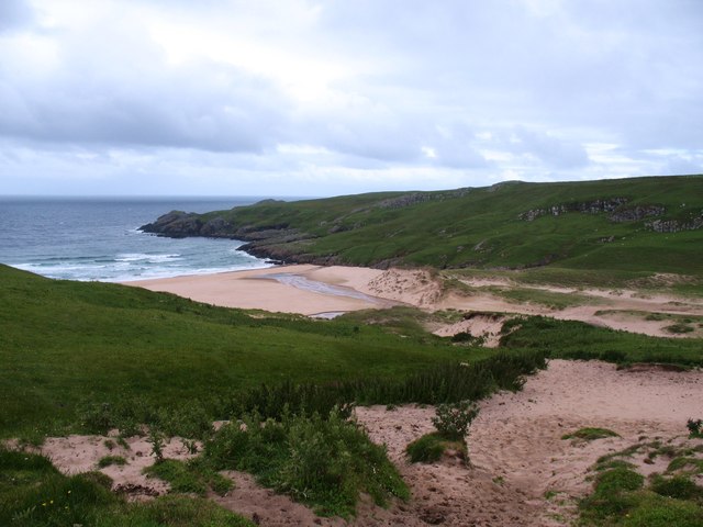
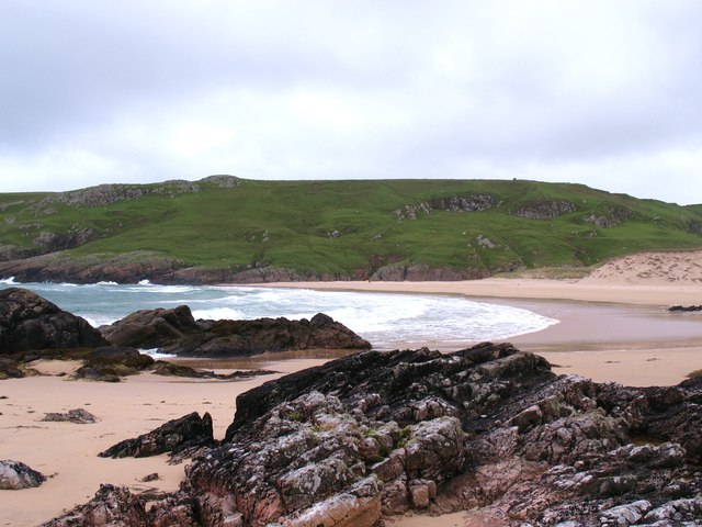
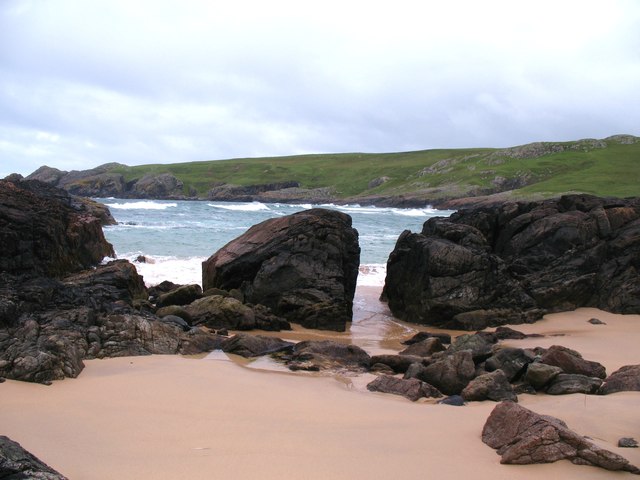
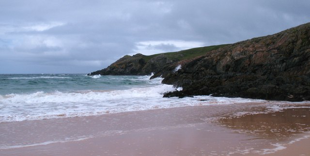
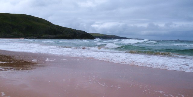
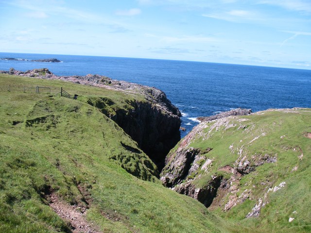
Geodha Carraig Anna is a stunning coastal feature located in Argyllshire, Scotland. This prominent headland is situated on the western coast of Scotland, near the small village of Lochgilphead. Geodha Carraig Anna is known for its rugged beauty, with towering cliffs, rocky outcrops, and breathtaking views of the surrounding sea.
The headland itself juts out into the Atlantic Ocean, forming a natural point that offers spectacular vistas of the coastline and the nearby islands. It is a popular spot for both locals and tourists, who come to admire the dramatic landscapes and immerse themselves in the tranquility of the area.
The cliffs of Geodha Carraig Anna are a haven for birdwatchers, as they provide nesting sites for various seabirds such as puffins, guillemots, and razorbills. The diversity of marine life in the surrounding waters also makes it a popular spot for fishing and diving enthusiasts.
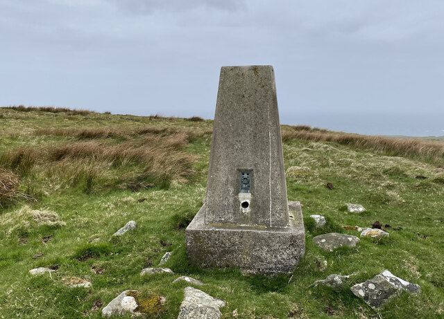
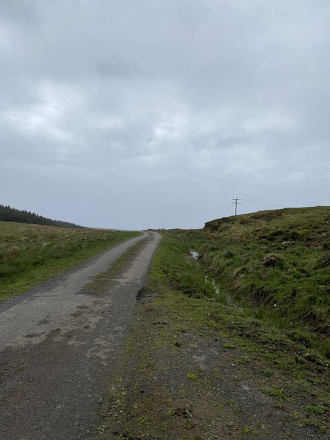
Visitors to Geodha Carraig Anna can explore the headland by following a network of coastal paths that wind their way through the rugged terrain. These paths offer an opportunity to discover hidden coves, secret beaches, and impressive geological formations.
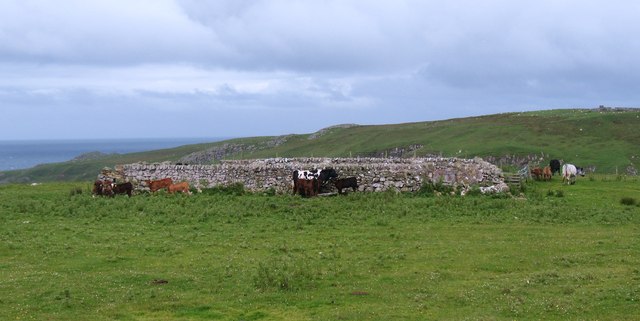
Geodha Carraig Anna is not only a natural wonder, but it also holds historical significance. The area is believed to have been inhabited by ancient civilizations, with archaeological remains and standing stones found in the vicinity.
Overall, Geodha Carraig Anna is a captivating coastal feature that showcases the raw beauty of Scotland's western coast. Its combination of dramatic cliffs, diverse wildlife, and historical importance make it a must-see destination for nature lovers and history enthusiasts alike.
If you have any feedback on the listing, please let us know in the comments section below.
Geodha Carraig Anna Images
Images are sourced within 2km of 55.70346/-6.5073407 or Grid Reference NR1654. Thanks to Geograph Open Source API. All images are credited.


Geodha Carraig Anna is located at Grid Ref: NR1654 (Lat: 55.70346, Lng: -6.5073407)
Unitary Authority: Argyll and Bute
Police Authority: Argyll and West Dunbartonshire
What 3 Words
///deflation.quite.puzzles. Near Portnahaven, Argyll & Bute
Related Wikis

Islay LIMPET
Islay LIMPET was the world's first commercial wave power device and was connected to the United Kingdom's National Grid. == History == Islay LIMPET (Land...

Eilean Mhic Coinnich
Eilean Mhic Coinnich, also known as Mackenzie Island (although recorded on the Land Register as McKenseys Island), is an uninhabited island of 17.3 hectares...

Portnahaven
Portnahaven (Scottish Gaelic: Port na h-Abhainne, meaning river port) is a village on Islay in the Inner Hebrides, Scotland. The village is within the...

Orsay, Inner Hebrides
Orsay (Scottish Gaelic: Orasaigh) is a small island in the Inner Hebrides of Scotland. It lies a short distance off the west coast of the island of Islay...
Have you been to Geodha Carraig Anna?
Leave your review of Geodha Carraig Anna below (or comments, questions and feedback).