Carraig Anna
Coastal Feature, Headland, Point in Argyllshire
Scotland
Carraig Anna

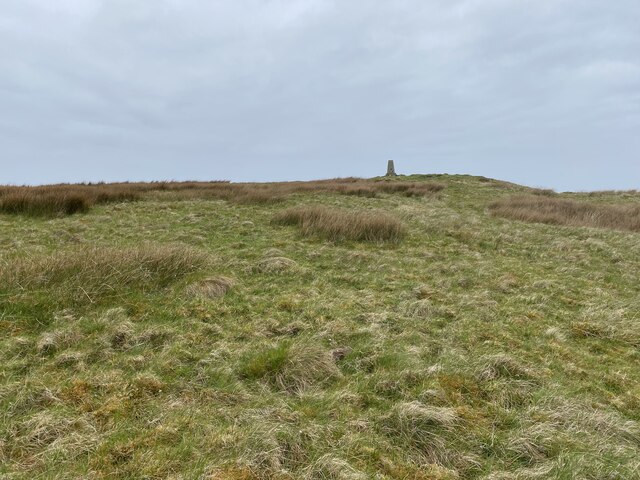
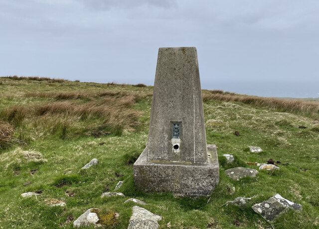
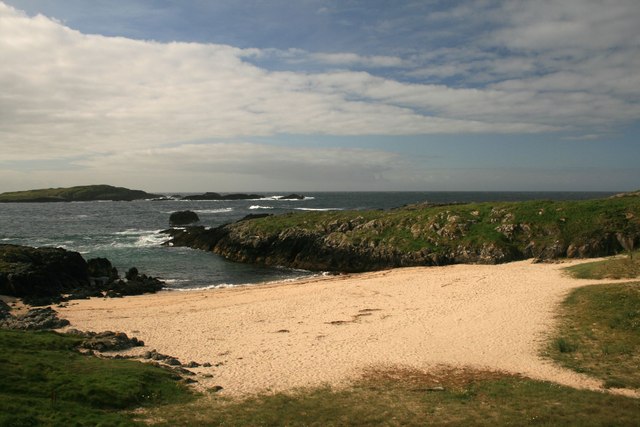
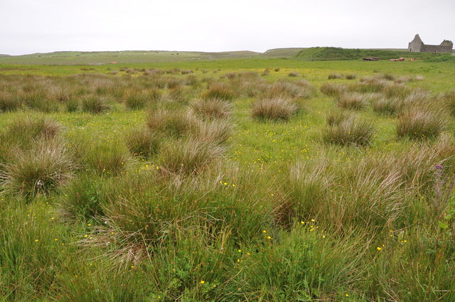
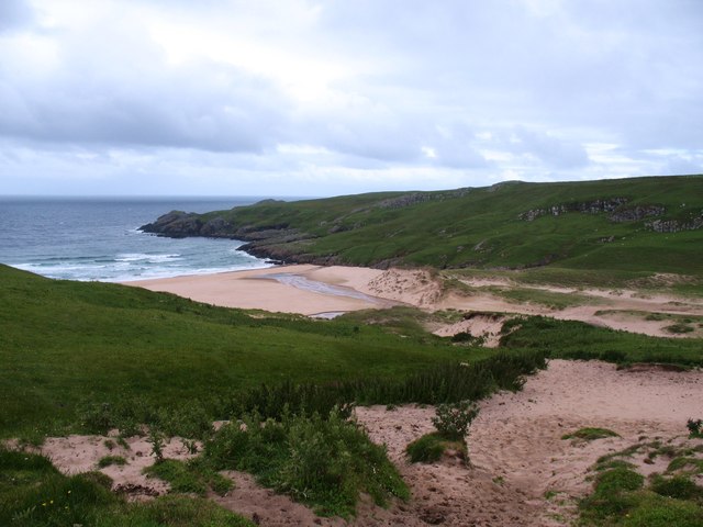
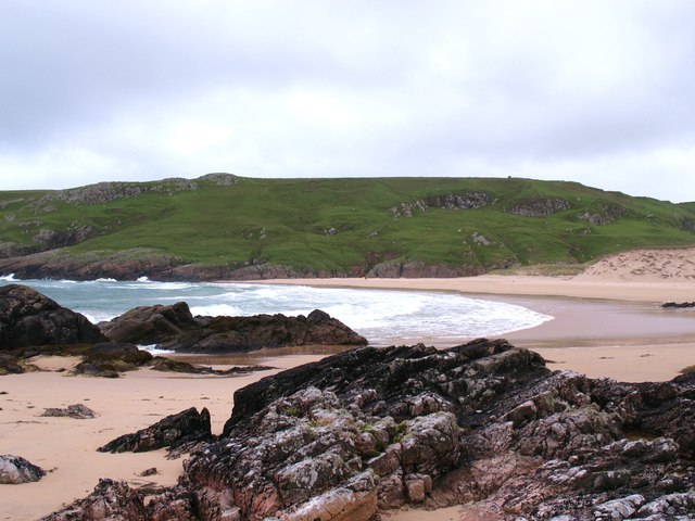
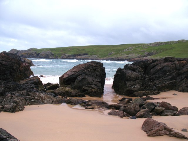
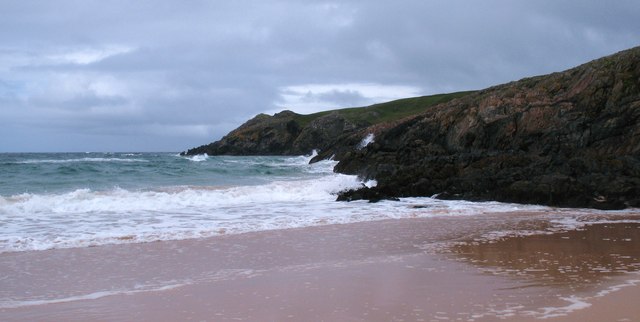
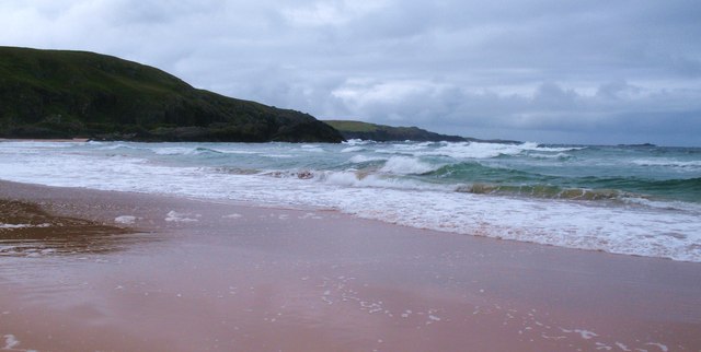
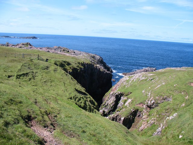
Carraig Anna is a prominent headland situated in Argyllshire, Scotland. Located on the west coast of the country, it is a striking coastal feature that offers breathtaking views of the surrounding landscape. This rugged headland is characterized by its steep cliffs and rocky terrain, making it an impressive sight for visitors and locals alike.
Situated at the meeting point of the land and sea, Carraig Anna stands as a natural barrier between the open ocean and the nearby coastline. Its strategic location has, throughout history, made it a significant landmark for navigational purposes. The headland provides a clear vantage point for sailors and fishermen, aiding in their safe passage along the coast.
The cliffs of Carraig Anna are home to a diverse range of seabirds, including puffins, gulls, and cormorants. The headland's proximity to the water and its rocky outcrops provide an ideal habitat for these avian creatures. Birdwatchers and nature enthusiasts flock to Carraig Anna to observe and appreciate the variety of species that can be found here.
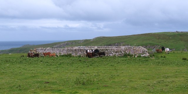
In addition to its natural beauty, Carraig Anna holds historical significance. Ancient ruins and artifacts have been discovered in the vicinity, indicating that this headland has been inhabited by humans for centuries. These remnants offer insights into the rich cultural heritage of the area and attract archaeologists and history buffs.
Overall, Carraig Anna is a captivating coastal feature that combines stunning natural scenery, a diverse range of wildlife, and a rich historical past. Its impressive cliffs, breathtaking views, and cultural significance make it a must-visit destination for those exploring the Argyllshire region.
If you have any feedback on the listing, please let us know in the comments section below.
Carraig Anna Images
Images are sourced within 2km of 55.70316/-6.5071945 or Grid Reference NR1654. Thanks to Geograph Open Source API. All images are credited.


Carraig Anna is located at Grid Ref: NR1654 (Lat: 55.70316, Lng: -6.5071945)
Unitary Authority: Argyll and Bute
Police Authority: Argyll and West Dunbartonshire
What 3 Words
///radiates.cherish.segregate. Near Portnahaven, Argyll & Bute
Nearby Locations
Related Wikis

Islay LIMPET
Islay LIMPET was the world's first commercial wave power device and was connected to the United Kingdom's National Grid. == History == Islay LIMPET (Land...

Eilean Mhic Coinnich
Eilean Mhic Coinnich, also known as Mackenzie Island (although recorded on the Land Register as McKenseys Island), is an uninhabited island of 17.3 hectares...

Portnahaven
Portnahaven (Scottish Gaelic: Port na h-Abhainne, meaning river port) is a village on Islay in the Inner Hebrides, Scotland. The village is within the...

Orsay, Inner Hebrides
Orsay (Scottish Gaelic: Orasaigh) is a small island in the Inner Hebrides of Scotland. It lies a short distance off the west coast of the island of Islay...

Easter Ellister
Easter Ellister (Aolastradh) is a settlement on the Rinns of Islay on Islay in the Inner Hebrides of Scotland. It lies just off the A847 road between Portnahaven...

Rhinns complex
The Rhinns complex is a deformed Palaeoproterozoic igneous complex that is considered to form the basement to the Colonsay Group of metasedimentary rocks...

Nerabus
Nerabus (otherwise Nereabolls) is a hamlet in the west of the isle of Islay in Scotland. The vicinity is noted for its scenic qualities and diverse birdlife...

Rinns of Islay
The Rinns of Islay (Scottish Gaelic: Na Roinn Ìleach; alternative English spelling Rhinns of Islay) is an area on the west of the island of Islay in the...
Have you been to Carraig Anna?
Leave your review of Carraig Anna below (or comments, questions and feedback).