Geodh' an Eilein Chaim
Coastal Feature, Headland, Point in Argyllshire
Scotland
Geodh' an Eilein Chaim

Geodh' an Eilein Chaim is a prominent coastal feature located in Argyllshire, Scotland. It is a headland or point that juts out into the sea, offering stunning views of the surrounding landscape. The geographical coordinates of Geodh' an Eilein Chaim are approximately 56.0036° N latitude and 5.4437° W longitude.
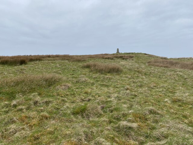
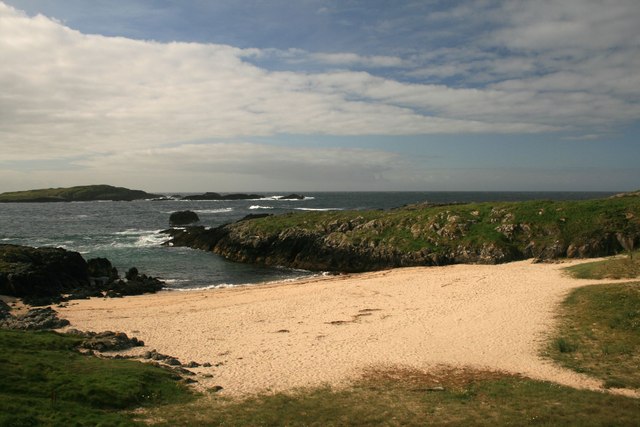
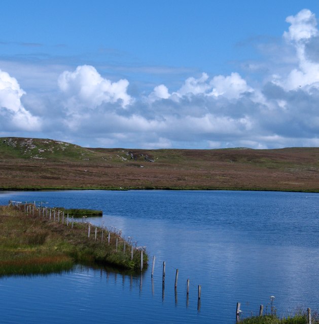
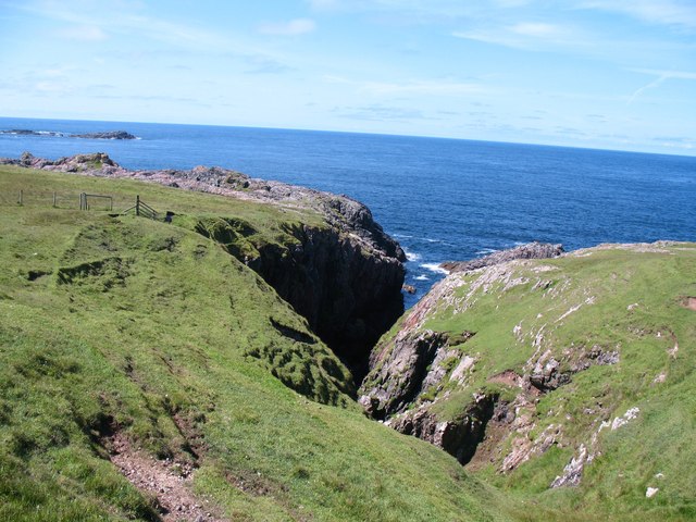
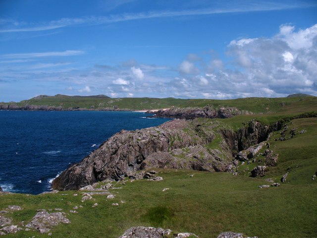
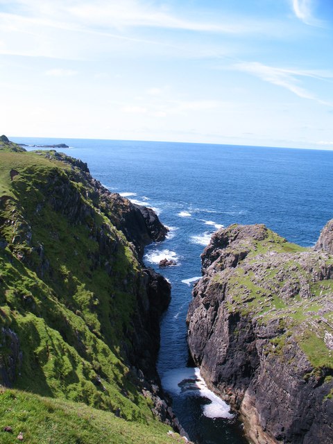
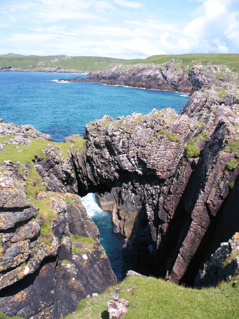
The headland is characterized by its rugged and rocky terrain, which is typical of the Scottish coastline. It is situated on the western coast of the Kintyre Peninsula, facing the Atlantic Ocean. The area around Geodh' an Eilein Chaim is known for its picturesque beauty, with pristine beaches, clear turquoise waters, and dramatic cliffs.
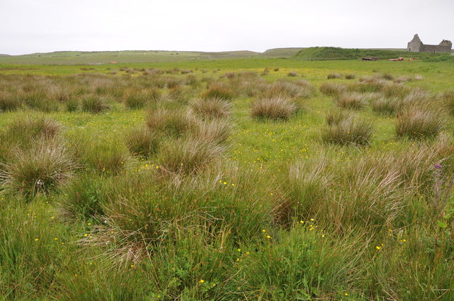
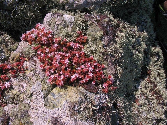
The headland is a popular spot for outdoor enthusiasts, offering opportunities for hiking, birdwatching, and wildlife spotting. Visitors can enjoy walking along the coastal path that leads to Geodh' an Eilein Chaim, taking in the breathtaking scenery and observing the diverse flora and fauna that inhabit the area.
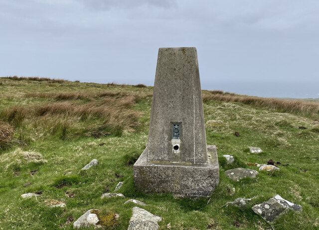
In addition to its natural beauty, Geodh' an Eilein Chaim also holds historical and cultural significance. There are ancient ruins and archaeological sites scattered along the headland, providing insights into the area's rich history. These remnants serve as a reminder of the human presence in the region throughout the centuries.
Overall, Geodh' an Eilein Chaim is a captivating coastal feature in Argyllshire, offering a perfect blend of natural beauty, outdoor activities, and historical intrigue. It is a must-visit destination for those seeking an authentic Scottish coastal experience.
If you have any feedback on the listing, please let us know in the comments section below.
Geodh' an Eilein Chaim Images
Images are sourced within 2km of 55.698193/-6.5155413 or Grid Reference NR1654. Thanks to Geograph Open Source API. All images are credited.


Geodh' an Eilein Chaim is located at Grid Ref: NR1654 (Lat: 55.698193, Lng: -6.5155413)
Unitary Authority: Argyll and Bute
Police Authority: Argyll and West Dunbartonshire
What 3 Words
///bottle.someone.repayment. Near Portnahaven, Argyll & Bute
Nearby Locations
Related Wikis

Islay LIMPET
Islay LIMPET was the world's first commercial wave power device and was connected to the United Kingdom's National Grid. == History == Islay LIMPET (Land...

Eilean Mhic Coinnich
Eilean Mhic Coinnich, also known as Mackenzie Island (although recorded on the Land Register as McKenseys Island), is an uninhabited island of 17.3 hectares...

Portnahaven
Portnahaven (Scottish Gaelic: Port na h-Abhainne, meaning river port) is a village on Islay in the Inner Hebrides, Scotland. The village is within the...

Orsay, Inner Hebrides
Orsay (Scottish Gaelic: Orasaigh) is a small island in the Inner Hebrides of Scotland. It lies a short distance off the west coast of the island of Islay...

Easter Ellister
Easter Ellister (Aolastradh) is a settlement on the Rinns of Islay on Islay in the Inner Hebrides of Scotland. It lies just off the A847 road between Portnahaven...

Rhinns complex
The Rhinns complex is a deformed Palaeoproterozoic igneous complex that is considered to form the basement to the Colonsay Group of metasedimentary rocks...

Nerabus
Nerabus (otherwise Nereabolls) is a hamlet in the west of the isle of Islay in Scotland. The vicinity is noted for its scenic qualities and diverse birdlife...

Rinns of Islay
The Rinns of Islay (Scottish Gaelic: Na Roinn Ìleach; alternative English spelling Rhinns of Islay) is an area on the west of the island of Islay in the...
Have you been to Geodh' an Eilein Chaim?
Leave your review of Geodh' an Eilein Chaim below (or comments, questions and feedback).