Cill Clèit
Coastal Feature, Headland, Point in Argyllshire
Scotland
Cill Clèit

Cill Clèit, also known as Kilchattan, is a coastal feature located in Argyllshire, Scotland. It is specifically situated on the southern part of the Isle of Bute, which is located on the west coast of Scotland. Cill Clèit is classified as a headland, also referred to as a point, and is known for its stunning natural beauty and rich history.
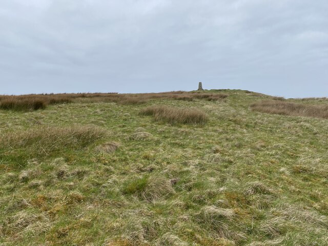
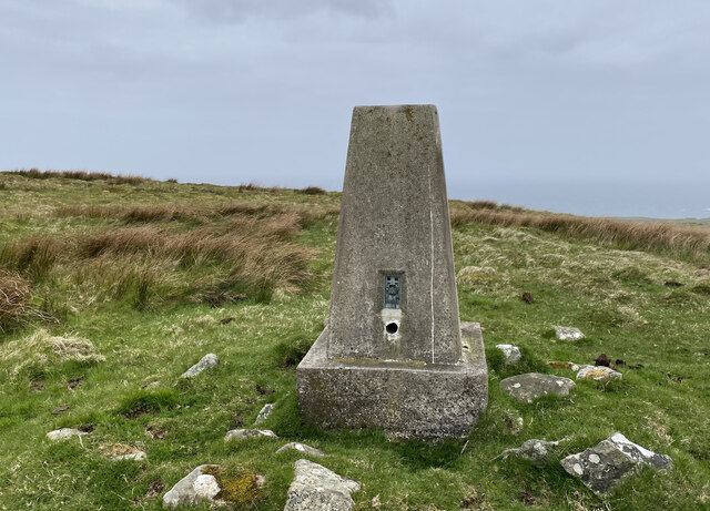
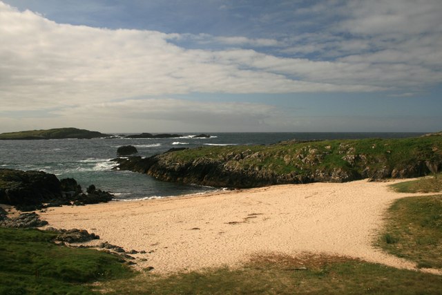
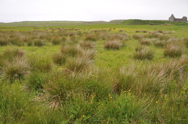
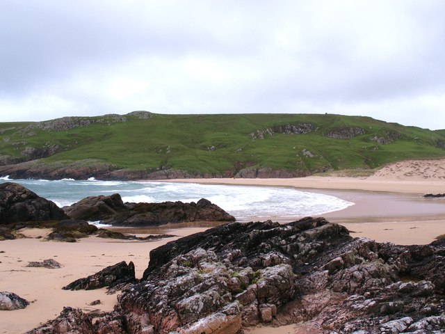
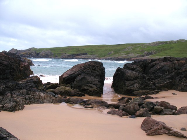
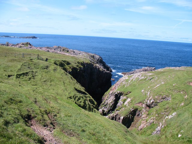
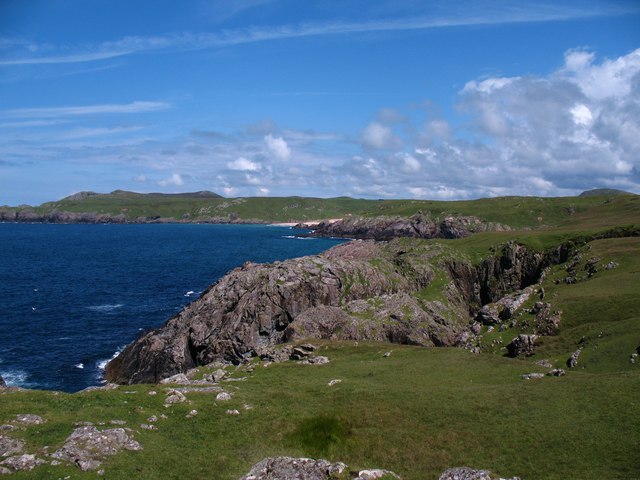
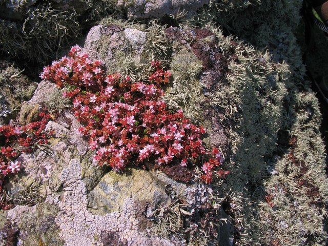
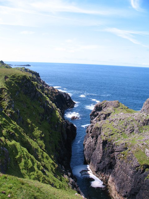
The headland of Cill Clèit offers magnificent panoramic views of the surrounding area. It is characterized by rugged cliffs that plunge into the azure waters of the Firth of Clyde. The headland is also adorned with lush greenery and wildflowers, creating a picturesque setting. The area is home to a diverse range of flora and fauna, making it a haven for nature enthusiasts and birdwatchers.
Cill Clèit holds historical significance as well. The headland is home to ancient ruins of a monastic settlement, believed to date back to the 6th century. These ruins are a testament to the rich religious history of the area and serve as a reminder of the early Christian presence in Scotland.
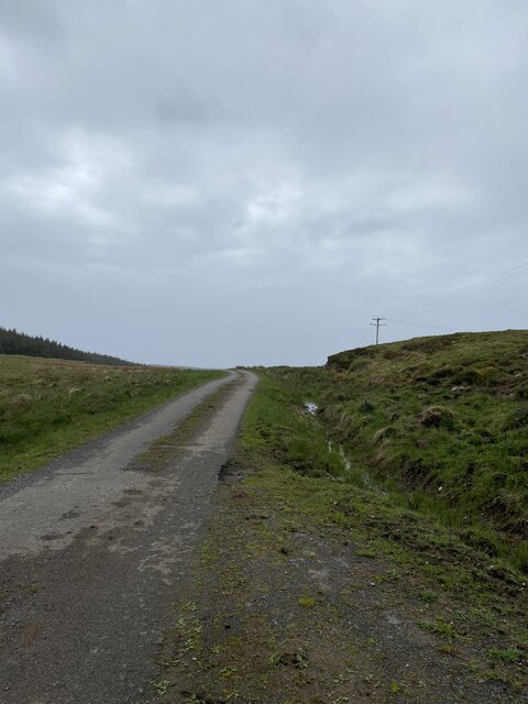
Visitors to Cill Clèit can explore the headland by following scenic walking trails that lead to breathtaking viewpoints. The area is also popular for outdoor activities such as hiking, birdwatching, and photography.
In summary, Cill Clèit in Argyllshire is a captivating headland with stunning coastal views, an abundance of wildlife, and a rich historical background. It offers visitors the opportunity to immerse themselves in nature and explore the remnants of an ancient monastic settlement.
If you have any feedback on the listing, please let us know in the comments section below.
Cill Clèit Images
Images are sourced within 2km of 55.699561/-6.5128323 or Grid Reference NR1654. Thanks to Geograph Open Source API. All images are credited.


Cill Clèit is located at Grid Ref: NR1654 (Lat: 55.699561, Lng: -6.5128323)
Unitary Authority: Argyll and Bute
Police Authority: Argyll and West Dunbartonshire
What 3 Words
///woes.glossed.tilting. Near Portnahaven, Argyll & Bute
Related Wikis

Islay LIMPET
Islay LIMPET was the world's first commercial wave power device and was connected to the United Kingdom's National Grid. == History == Islay LIMPET (Land...

Eilean Mhic Coinnich
Eilean Mhic Coinnich, also known as Mackenzie Island (although recorded on the Land Register as McKenseys Island), is an uninhabited island of 17.3 hectares...

Portnahaven
Portnahaven (Scottish Gaelic: Port na h-Abhainne, meaning river port) is a village on Islay in the Inner Hebrides, Scotland. The village is within the...

Orsay, Inner Hebrides
Orsay (Scottish Gaelic: Orasaigh) is a small island in the Inner Hebrides of Scotland. It lies a short distance off the west coast of the island of Islay...
Have you been to Cill Clèit?
Leave your review of Cill Clèit below (or comments, questions and feedback).