Lintz

Settlement in Durham

England

Lintz

Old Lintz Green Station Bridge
Old Lintz Green Station Bridge Credit: Clive Nicholson

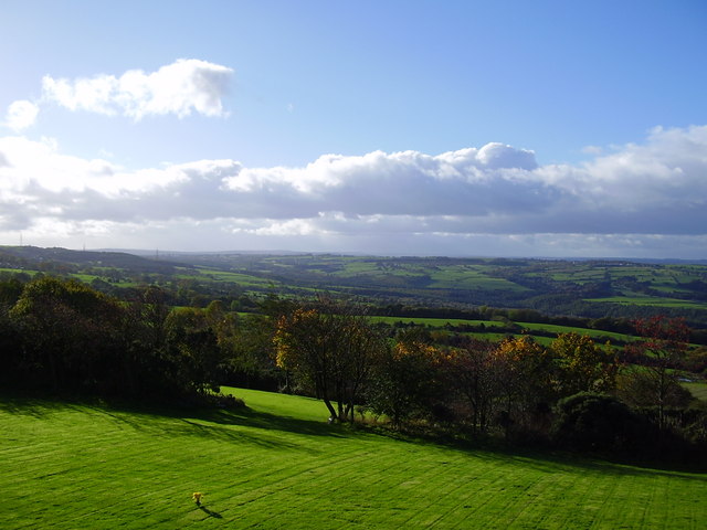
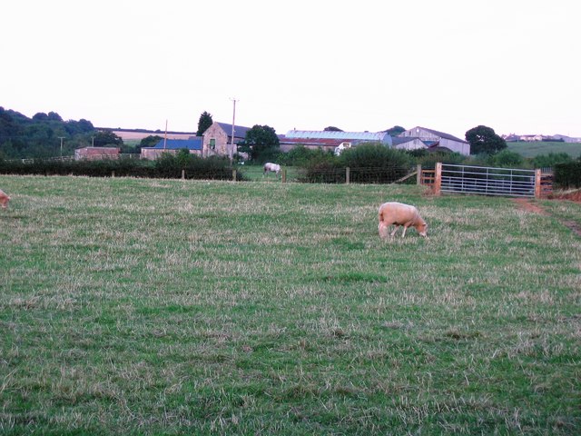
Lintz is a small village located in the county of Durham, in the northeast of England. Situated approximately 10 miles southwest of Newcastle upon Tyne, it falls within the civil parish of Burnopfield. The village is nestled in a rural area, surrounded by picturesque countryside and rolling hills.

Lintz has a rich history dating back centuries. It was once an important mining community, with coal mining being the primary industry in the region during the 19th and early 20th centuries. The remnants of Lintz Colliery, which closed in 1967, can still be seen in the village today, serving as a reminder of its industrial past.

Despite its small size, Lintz offers a close-knit community atmosphere. The village is home to a local primary school, providing education to the children of the area. It also boasts a charming village hall, which serves as a venue for various community events and gatherings.

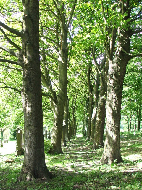
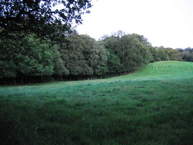
For those seeking outdoor activities, Lintz is ideally situated near several nature reserves and parks, such as Chopwell Wood and Derwent Walk Country Park. These areas provide opportunities for walking, cycling, and exploring the natural beauty of the region.

While Lintz may be a quiet village, it benefits from its proximity to larger towns and cities. Residents can easily access amenities and services in nearby Burnopfield and Newcastle upon Tyne, including shops, restaurants, and cultural attractions.

Overall, Lintz is a tranquil village with a rich history, offering a peaceful and picturesque setting for its residents to enjoy.

If you have any feedback on the listing, please let us know in the comments section below.
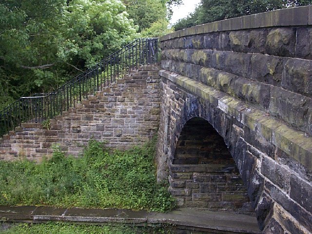
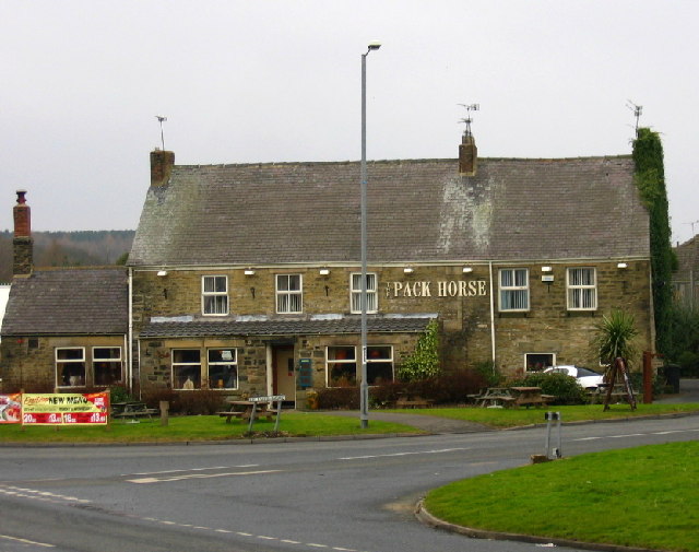
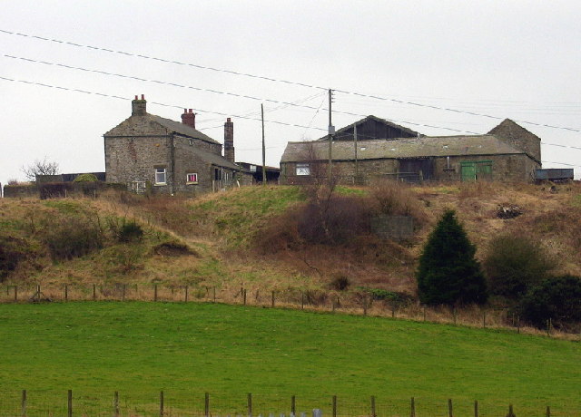
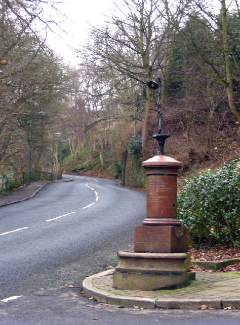
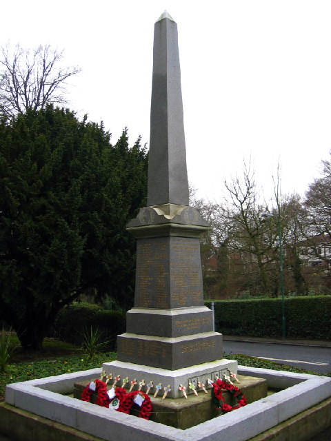
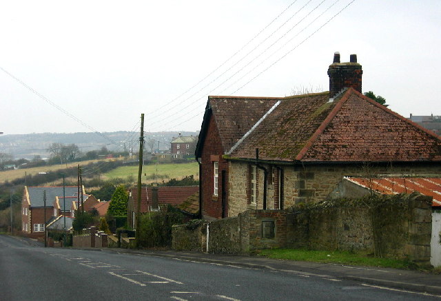
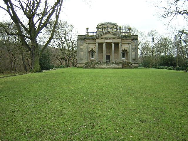
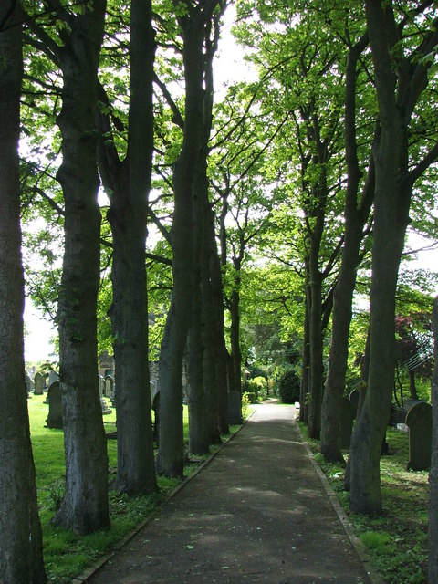
Lintz Images

Images are sourced within 2km of 54.901709/-1.740786 or Grid Reference NZ1656. Thanks to Geograph Open Source API. All images are credited.

Old Lintz Green Station Bridge
Mountsett Crematorium
The Pack Horse, Crookgate Just outside Burnopfield, this pub was destroyed by fire in 2002 but reopened after six months
The Pack Horse, Crookgate
Just outside Burnopfield, this pub was destroyed by fire in 2002 but reopened after six months
Crookbank Farm
Crookbank Farm
Roadside Pant On the B6314 near the end of its climb into Burnopfield, this fountain (with electric light!) was erected in 1905 in memory of a respected local resident, known especially for his "kindness to dumb animals".
Roadside Pant
On the B6314 near the end of its climb into Burnopfield, this fountain (with electric light!) was erected in 1905 in memory of a respected local resident, known especially for his "kindness to dumb animals".
War Memorial, Burnopfield A simple monument in pristine condition; obviously well cared for.
War Memorial, Burnopfield
A simple monument in pristine condition; obviously well cared for.
The Travellers Rest, High Friarside
Toft Gate Farm, near Pickering Nook
Clough Dene, near Tantobie Housing old and new - I know which I prefer!
Clough Dene, near Tantobie
Housing old and new - I know which I prefer!
Gibside Chapel
Gibside Chapel
Sycamore Lined Walkway that leads you to St James Church Burnopfield
Sycamore Lined Walkway
that leads you to St James Church Burnopfield
Another Sycamore Lined Walkway Path through the churchyard for the Church of St James which is situated on both sides of the B6310.
Another Sycamore Lined Walkway
Path through the churchyard for the Church of St James which is situated on both sides of the B6310.
Derwent Walk & Cycleway, Priestfield Wood A section of this excellent footpath and cycleway on the former trackbed of the three rivers railway.  More information at: <span class="nowrap"><a title="http://www.cycle-routes.org/threerivers/3r_bridges/derwent_bridges.html" rel="nofollow ugc noopener" href="http://www.cycle-routes.org/threerivers/3r_bridges/derwent_bridges.html">Link</a><img style="margin-left:2px;" alt="External link" title="External link - shift click to open in new window" src="https://s1.geograph.org.uk/img/external.png" width="10" height="10"/></span>
Derwent Walk & Cycleway, Priestfield Wood
A section of this excellent footpath and cycleway on the former trackbed of the three rivers railway. More information at: LinkExternal link
Car Park, Rowlands Gill Car park adjacent to the former trackbed of the three valleys railway just off the B6314 at Rowlands Gill. The car park provides direct access to the western section of the Derwent Walk and cycleway.
Car Park, Rowlands Gill
Car park adjacent to the former trackbed of the three valleys railway just off the B6314 at Rowlands Gill. The car park provides direct access to the western section of the Derwent Walk and cycleway.
Trees at Mountsett Crematorium
Briar Terrace, Crookgate Bank
Loft House Farm Looking across pastureland towards Loft House Farm
Loft House Farm
Looking across pastureland towards Loft House Farm
Priestfield Wood Looking up the side of Priestfield Wood from the footpath adjacent to the River Derwent
Priestfield Wood
Looking up the side of Priestfield Wood from the footpath adjacent to the River Derwent
Show me another place!

Lintz is located at Grid Ref: NZ1656 (Lat: 54.901709, Lng: -1.740786)

Unitary Authority: County Durham

Police Authority: Durham

What 3 Words

///reminds.wheat.renting. Near Burnopfield, Co. Durham

Related Wikis

High Friarside

High Friarside is a village in County Durham, England. It is situated a short distance to the west of Burnopfield. == References ==

Burnopfield

Burnopfield is a village in County Durham, in England. It is situated north of Stanley and Annfield Plain, close to the River Derwent and is 564 feet above...

Pickering Nook

Pickering Nook is a small village in County Durham, in England. It is situated a few miles north of Annfield Plain and Stanley, on the A692 between Consett...

Hobson, County Durham

Hobson is a village in County Durham, in England. It is situated to the south of Burnopfield, north of Stanley and Annfield Plain. Hobson was a pit village...

Clough Dene

Clough Dene is a village in County Durham, England. It is situated a short distance to the north of Tantobie, a few miles from Stanley and Annfield Plain...

Lintz Green railway station

Lintz Green Railway Station was on the Derwent Valley Railway Branch of the North Eastern Railway near Consett, County Durham, England. The railway station...

Crookgate Bank

Crookgate Bank is a village in County Durham, in England. It is situated to the east of Burnopfield. == References ==

Hill Top, Stanley

Hill Top is a village in County Durham, England. It is situated to the west of Tantobie, near Stanley. == References ==

Nearby Amenities

Located within 500m of 54.901709,-1.740786
Lintz Colliery
Historic: mine
Resource: coal
Source: NPE
Website: http://www.dmm.org.uk/colliery/l014.htm
Lat/Long: 54.9003495/-1.7467787
Bus Stop
Roseberry Cottage
Naptan AtcoCode: 13001531A
Naptan Bearing: N
Naptan CommonName: Roseberry Cottage
Naptan Indicator: north bound
Naptan Landmark: opposite entrance to Syke Bank Top
Naptan NaptanCode: duragdmw
Naptan Street: Syke Road
Naptan Verified: no
Source: naptan_import
Lat/Long: 54.9011441/-1.739231
Bus Stop
Roseberry Cottage
Naptan AtcoCode: 13001531E
Naptan Bearing: S
Naptan CommonName: Roseberry Cottage
Naptan Indicator: south bound
Naptan Landmark: 30m south of entrance to Syke Bank Top
Naptan NaptanCode: duragdpa
Naptan Street: Syke Road
Naptan Verified: no
Source: naptan_import
Lat/Long: 54.9009727/-1.7389202
Bus Stop
Community Centre
Bench: no
Bin: no
Bus: yes
Departures Board: timetable
Naptan AtcoCode: 13001532D
Naptan Bearing: S
Naptan BusStopType: MKD
Naptan CommonName: Community Centre
Naptan Indicator: S-bound
Naptan Landmark: Landmark not known
Naptan NaptanCode: duragdpd
Naptan Notes: burnopfield youth and community centre- syke road- burnopfield
Naptan Street: Syke Road
Naptan Verified: no
Public Transport: platform
Shelter: yes
Source: naptan_import
Lat/Long: 54.9047504/-1.7405021
Bus Stop
Community Centre
Naptan AtcoCode: 13001532H
Naptan Bearing: N
Naptan BusStopType: MKD
Naptan CommonName: Community Centre
Naptan Indicator: NW-bound
Naptan Landmark: Landmark not known
Naptan NaptanCode: duragdpg
Naptan Notes: opp 24- syke road- burnopfield
Naptan Street: Syke Road
Naptan Verified: no
Source: naptan_import
Lat/Long: 54.9041843/-1.7404902
Bus Stop
Thornhill Gardens
Bench: yes
Bin: no
Bus: yes
Departures Board: timetable
Naptan AtcoCode: 13001537B
Naptan Bearing: SW
Naptan BusStopType: MKD
Naptan CommonName: Thornhill Gardens
Naptan Indicator: NE-bound
Naptan Landmark: Landmark not known
Naptan NaptanCode: duragdtm
Naptan Notes: syke rd and priestfield gardens- burnopfield
Naptan Street: Thornhill Gardens
Naptan Verified: no
Public Transport: platform
Shelter: yes
Source: naptan_import
Lat/Long: 54.9040387/-1.7406172
Bus Stop
Thornhill Gardens
Bench: no
Bus: yes
Departures Board: timetable
Naptan AtcoCode: 13001537E
Naptan Bearing: S
Naptan BusStopType: MKD
Naptan CommonName: Thornhill Gardens
Naptan Indicator: S-bound
Naptan Landmark: Landmark not known
Naptan NaptanCode: duragdtp
Naptan Notes: 10- friarside gardens- burnopfield
Naptan Street: Thornhill Gardens
Naptan Verified: no
Public Transport: platform
Shelter: yes
Source: naptan_import
Lat/Long: 54.9033495/-1.740979
Bus Stop
Albion Gardens
Bus: yes
Departures Board: timetable
Naptan AtcoCode: 13001595B
Naptan Bearing: NE
Naptan BusStopType: MKD
Naptan CommonName: Albion Gardens
Naptan Indicator: NE-bound
Naptan Landmark: Landmark not known
Naptan NaptanCode: duragpgd
Naptan Notes: opp albion inn ph- albion gardens- burnopfield
Naptan Street: Unclassified Road
Naptan Verified: no
Public Transport: platform
Shelter: yes
Source: naptan_import
Lat/Long: 54.9021773/-1.7433257
Bus Stop
Albion Gardens
Bus: yes
Naptan AtcoCode: 13001595H
Naptan Bearing: NW
Naptan BusStopType: MKD
Naptan CommonName: Albion Gardens
Naptan Indicator: NW-bound
Naptan Landmark: Landmark not known
Naptan NaptanCode: duragpgj
Naptan Notes: front street- 14- lumley gardens- burnopfield
Naptan Street: Front Street
Naptan Verified: no
Public Transport: platform
Shelter: yes
Source: naptan_import
Lat/Long: 54.902377/-1.7442758
Bus Stop
Lumley Gardens
Bus: yes
Naptan AtcoCode: 13001596D
Naptan Bearing: SE
Naptan CommonName: Lumley Gardens
Naptan Indicator: south east bound
Naptan Landmark: Landmark not known
Naptan NaptanCode: duragpgm
Naptan Notes: 4- raby gardens- burnopfield
Naptan Street: Front Street
Naptan Verified: no
Public Transport: platform
Shelter: yes
Source: naptan_import
Lat/Long: 54.9031156/-1.7450664
Bus Stop
Briardene
Bus: yes
Departures Board: timetable
Naptan AtcoCode: 13001597D
Naptan Bearing: SE
Naptan CommonName: Briardene
Naptan Indicator: south east bound
Naptan Landmark: Landmark not known
Naptan NaptanCode: duragpgp
Naptan Notes: opp ent to brackenridge- front street- burnopfield
Naptan Street: Front Street
Naptan Verified: no
Public Transport: platform
Shelter: yes
Source: naptan_import
Lat/Long: 54.90426/-1.7465876
Bus Stop
Lambton Gardens
Naptan AtcoCode: 13001617B
Naptan Bearing: NE
Naptan CommonName: Lambton Gardens
Naptan Indicator: north east bound
Naptan Landmark: Landmark not known
Naptan NaptanCode: duragtam
Naptan Street: Lambton Gardens
Naptan Verified: no
Source: naptan_import
Lat/Long: 54.901021/-1.744721
Bus Stop
Lambton Gardens
Naptan AtcoCode: 13001617F
Naptan Bearing: SW
Naptan CommonName: Lambton Gardens
Naptan Indicator: south west bound
Naptan Landmark: Landmark not known
Naptan NaptanCode: duragtap
Naptan Street: Lambton Gardens
Naptan Verified: no
Source: naptan_import
Lat/Long: 54.900946/-1.7445503
Noexit: yes
Lat/Long: 54.903281/-1.7415743
Give Way
Direction: forward
Lat/Long: 54.9020119/-1.7436775
Noexit: yes
Lat/Long: 54.903261/-1.7472016
Noexit: yes
Lat/Long: 54.9041816/-1.7410755
Noexit: yes
Lat/Long: 54.9011328/-1.7428621
Bus: yes
Public Transport: stop_position
Lat/Long: 54.9033103/-1.7410702
Noexit: yes
Lat/Long: 54.9027518/-1.7455712
Turning Circle
Lat/Long: 54.9040804/-1.7379131
Doctors
Cedars Medical Practice
Addr City: Burnopfield
Addr Postcode: NE16 6HU
Contact Facebook: cedarsmedicalgroup
Phone: +44 1207 272272
Website: https://www.cedarsmedicalgroup.nhs.uk/
Lat/Long: 54.9051093/-1.7397885
Pharmacy
Lat/Long: 54.9052264/-1.7397466
Noexit: yes
Lat/Long: 54.9050545/-1.7393323
Post Office
Leazes Post Office
Addr City: Burnopfield
Addr Street: Syke Road
Lat/Long: 54.9046482/-1.7411048
Leazes Convenience Store
Addr Housenumber: 19
Addr Postcode: NE16 6JE
Addr Street: Syke Road
Addr Village: Burnopfield
Brand: Premier
Brand Wikidata: Q7240340
Brand Wikipedia: en:Premier Stores
Fhrs Id: 879430
Opening Hours: Mo-Sa 06:00-20:00; Su 08:00-20:00
Shop: convenience
Source Addr: FHRS Open Data
Website: https://www.premier-stores.co.uk/our-stores/leazes-convenience-store
Lat/Long: 54.9047207/-1.7411561
Waste Basket
Lat/Long: 54.9046991/-1.7408764
Post Box
Operator: Royal Mail
Operator Wikidata: Q638098
Post Box Type: pillar
Ref: NE16 68
Lat/Long: 54.9046817/-1.7409255
Post Box
Brand: Royal Mail
Brand Wikidata: Q638098
Operator: Royal Mail
Operator Wikidata: Q638098
Post Box Type: lamp
Ref: NE16 322
Royal Cypher: EIIR
Source: survey
Survey Date: 2024-02-08
Lat/Long: 54.9026404/-1.7445967
Leazes
Place: locality
Lat/Long: 54.9059061/-1.7401957
Lintz
Place: locality
Lat/Long: 54.9007044/-1.7442512
Noexit: yes
Lat/Long: 54.9030126/-1.7436816
Noexit: yes
Lat/Long: 54.9030712/-1.7406284
Noexit: yes
Lat/Long: 54.9035862/-1.7404328
Generator Method: photovoltaic
Generator Output Electricity: yes
Generator Source: solar
Generator Type: solar_photovoltaic_panel
Power: generator
Lat/Long: 54.902169/-1.7424434
Generator Method: photovoltaic
Generator Output Electricity: yes
Generator Source: solar
Generator Type: solar_photovoltaic_panel
Power: generator
Lat/Long: 54.9027597/-1.7412016
Generator Method: photovoltaic
Generator Output Electricity: yes
Generator Source: solar
Generator Type: solar_photovoltaic_panel
Power: generator
Lat/Long: 54.9027227/-1.7411211
Generator Method: photovoltaic
Generator Output Electricity: yes
Generator Source: solar
Generator Type: solar_photovoltaic_panel
Power: generator
Lat/Long: 54.9026625/-1.7431194
Generator Method: photovoltaic
Generator Output Electricity: yes
Generator Source: solar
Generator Type: solar_photovoltaic_panel
Power: generator
Lat/Long: 54.9027813/-1.7450573
Generator Method: photovoltaic
Generator Output Electricity: yes
Generator Source: solar
Generator Type: solar_photovoltaic_panel
Power: generator
Lat/Long: 54.903631/-1.7461543
Generator Method: photovoltaic
Generator Output Electricity: yes
Generator Source: solar
Generator Type: solar_photovoltaic_panel
Power: generator
Lat/Long: 54.9028931/-1.7455588
Generator Method: photovoltaic
Generator Output Electricity: yes
Generator Source: solar
Generator Type: solar_photovoltaic_panel
Power: generator
Lat/Long: 54.9029185/-1.7454582
Generator Method: photovoltaic
Generator Output Electricity: yes
Generator Source: solar
Generator Type: solar_photovoltaic_panel
Power: generator
Lat/Long: 54.9029509/-1.7453865
Generator Method: photovoltaic
Generator Output Electricity: yes
Generator Source: solar
Generator Type: solar_photovoltaic_panel
Power: generator
Lat/Long: 54.9041523/-1.7471534
Generator Method: photovoltaic
Generator Output Electricity: yes
Generator Source: solar
Generator Type: solar_photovoltaic_panel
Power: generator
Lat/Long: 54.9041106/-1.7472473
Give Way
Direction: forward
Lat/Long: 54.902971/-1.7398363
Noexit: yes
Lat/Long: 54.9015676/-1.7426848
Give Way
Direction: backward
Lat/Long: 54.9040569/-1.7403335
Noexit: yes
Lat/Long: 54.9017768/-1.7433486
Noexit: yes
Lat/Long: 54.9016339/-1.743054
Generator Method: photovoltaic
Generator Output Electricity: yes
Generator Source: solar
Generator Type: solar_photovoltaic_panel
Power: generator
Lat/Long: 54.9026024/-1.7423952
Generator Method: photovoltaic
Generator Output Electricity: yes
Generator Source: solar
Generator Type: solar_photovoltaic_panel
Power: generator
Lat/Long: 54.9025407/-1.7425668
Generator Method: photovoltaic
Generator Output Electricity: yes
Generator Source: solar
Generator Type: solar_photovoltaic_panel
Power: generator
Lat/Long: 54.9024975/-1.7426822
Generator Method: photovoltaic
Generator Output Electricity: yes
Generator Source: solar
Generator Type: solar_photovoltaic_panel
Power: generator
Lat/Long: 54.9021845/-1.744262
Generator Method: photovoltaic
Generator Output Electricity: yes
Generator Source: solar
Generator Type: solar_photovoltaic_panel
Power: generator
Lat/Long: 54.9021043/-1.7444229
Noexit: yes
Lat/Long: 54.9035246/-1.7461127
Noexit: yes
Lat/Long: 54.9034159/-1.7463836
Generator Method: photovoltaic
Generator Output Electricity: yes
Generator Source: solar
Generator Type: solar_photovoltaic_panel
Power: generator
Lat/Long: 54.9009029/-1.7448789
Generator Method: photovoltaic
Generator Output Electricity: yes
Generator Source: solar
Generator Type: solar_photovoltaic_panel
Power: generator
Lat/Long: 54.9051331/-1.7365891
Generator Method: photovoltaic
Generator Output Electricity: yes
Generator Source: solar
Generator Type: solar_photovoltaic_panel
Power: generator
Lat/Long: 54.902954/-1.7473733
Generator Method: photovoltaic
Generator Output Electricity: yes
Generator Source: solar
Generator Type: solar_photovoltaic_panel
Power: generator
Lat/Long: 54.901691/-1.7447206
Generator Method: photovoltaic
Generator Output Electricity: yes
Generator Source: solar
Generator Type: solar_photovoltaic_panel
Power: generator
Lat/Long: 54.9016524/-1.7448306
Generator Method: photovoltaic
Generator Output Electricity: yes
Generator Source: solar
Generator Type: solar_photovoltaic_panel
Power: generator
Lat/Long: 54.9014997/-1.7452168
Generator Method: photovoltaic
Generator Output Electricity: yes
Generator Source: solar
Generator Type: solar_photovoltaic_panel
Power: generator
Lat/Long: 54.9006484/-1.7449594
Generator Method: photovoltaic
Generator Output Electricity: yes
Generator Source: solar
Generator Type: solar_photovoltaic_panel
Power: generator
Lat/Long: 54.900653/-1.7452759
Generator Method: photovoltaic
Generator Output Electricity: yes
Generator Source: solar
Generator Type: solar_photovoltaic_panel
Power: generator
Lat/Long: 54.8998202/-1.7455038
Generator Method: photovoltaic
Generator Output Electricity: yes
Generator Source: solar
Generator Type: solar_photovoltaic_panel
Power: generator
Lat/Long: 54.8998341/-1.7456648
Generator Method: photovoltaic
Generator Output Electricity: yes
Generator Source: solar
Generator Type: solar_photovoltaic_panel
Power: generator
Lat/Long: 54.8998233/-1.7457828
Generator Method: photovoltaic
Generator Output Electricity: yes
Generator Source: solar
Generator Type: solar_photovoltaic_panel
Power: generator
Lat/Long: 54.9003615/-1.745123
Generator Method: photovoltaic
Generator Output Electricity: yes
Generator Source: solar
Generator Type: solar_photovoltaic_panel
Power: generator
Lat/Long: 54.9008967/-1.7454958
Generator Method: photovoltaic
Generator Output Electricity: yes
Generator Source: solar
Generator Type: solar_photovoltaic_panel
Location: roof
Power: generator
Lat/Long: 54.9034259/-1.7404692
Generator Method: photovoltaic
Generator Output Electricity: yes
Generator Source: solar
Generator Type: solar_photovoltaic_panel
Location: roof
Power: generator
Lat/Long: 54.9034555/-1.7407771
Camera Mount: pole
Man Made: surveillance
Surveillance Type: camera
Lat/Long: 54.9018797/-1.7436526
Generator Method: photovoltaic
Generator Output Electricity: yes
Generator Source: solar
Generator Type: solar_photovoltaic_panel
Location: roof
Power: generator
Lat/Long: 54.9037273/-1.7407293
The data included in this document is from www.openstreetmap.org. The data is made available under ODbL.

Have you been to Lintz?

Leave your review of Lintz below (or comments, questions and feedback).