Leazes
Settlement in Durham
England
Leazes

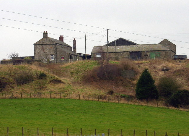
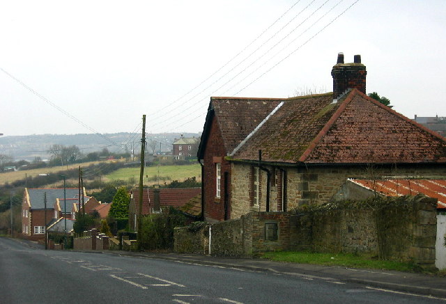
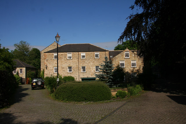
Leazes is a small village situated in County Durham, England. Located about 6 miles northwest of the city of Durham, it is nestled in a scenic rural area with rolling hills and picturesque landscapes. The village is known for its peaceful atmosphere and close-knit community.
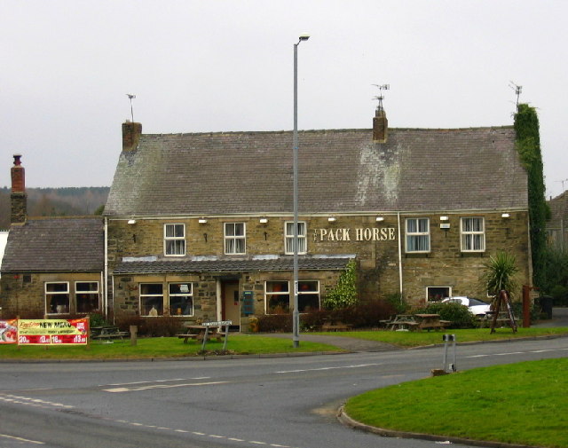
Leazes is home to approximately 300 residents, who enjoy the tranquility and charm of the countryside. The architecture in the village is predominantly traditional, with many historic buildings dating back several centuries. These include quaint cottages, farmhouses, and a charming village church, adding to the village's character and appeal.
The village offers limited amenities, with a small local shop providing essentials, but residents often rely on nearby towns and cities for more extensive services. However, the lack of commercial activity contributes to the village's peaceful ambiance, making it an ideal place for those seeking a quiet and rural lifestyle.
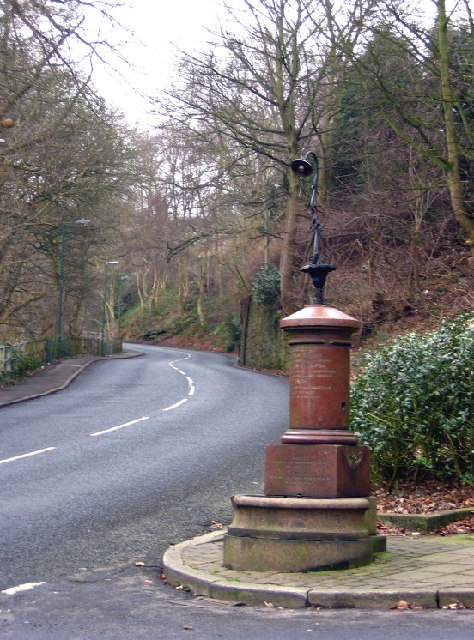
The surrounding countryside offers ample opportunities for outdoor activities, such as hiking, cycling, and horse riding. Leazes benefits from its proximity to the River Wear, which provides beautiful riverside walks and fishing spots for enthusiasts.
Leazes is well-connected to neighboring towns and cities, with regular bus services and good road links. The village's close proximity to Durham means residents can easily access a wider range of amenities, including shopping centers, schools, and healthcare facilities.
In summary, Leazes is a charming and tranquil village in County Durham, offering a peaceful rural lifestyle with access to beautiful countryside and nearby towns for additional services and activities.
If you have any feedback on the listing, please let us know in the comments section below.
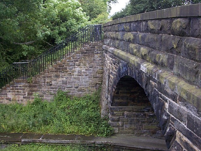
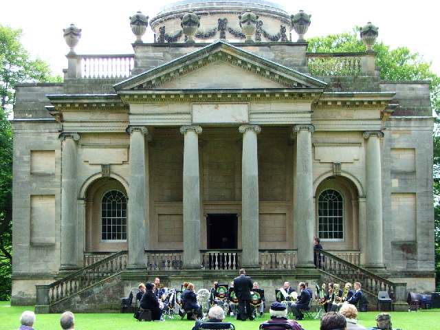
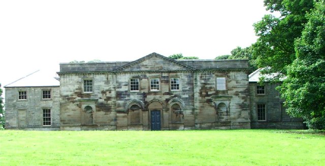
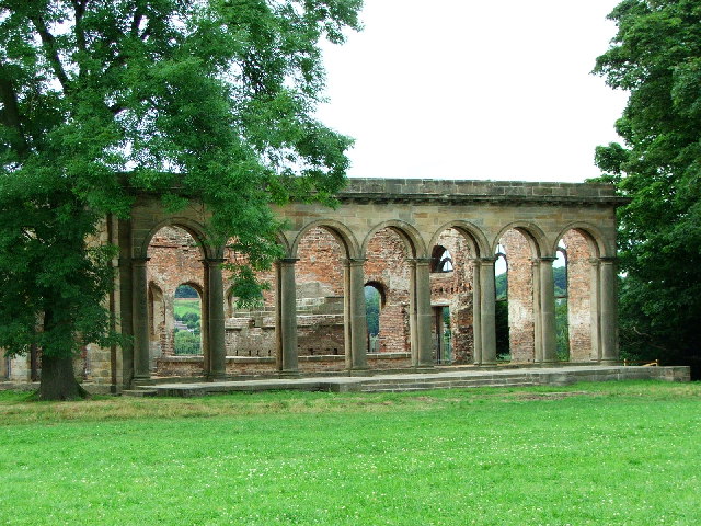
Leazes Images
Images are sourced within 2km of 54.904654/-1.7407288 or Grid Reference NZ1656. Thanks to Geograph Open Source API. All images are credited.


Leazes is located at Grid Ref: NZ1656 (Lat: 54.904654, Lng: -1.7407288)
Unitary Authority: County Durham
Police Authority: Durham
What 3 Words
///lemons.sheds.sizes. Near Burnopfield, Co. Durham
Nearby Locations
Related Wikis

High Friarside
High Friarside is a village in County Durham, England. It is situated a short distance to the west of Burnopfield. == References ==
Burnopfield
Burnopfield is a village in County Durham, in England. It is situated north of Stanley and Annfield Plain, close to the River Derwent and is 564 feet above...
Pickering Nook
Pickering Nook is a small village in County Durham, in England. It is situated a few miles north of Annfield Plain and Stanley, on the A692 between Consett...
Hobson, County Durham
Hobson is a village in County Durham, in England. It is situated to the south of Burnopfield, north of Stanley and Annfield Plain. Hobson was a pit village...

Lintz Green railway station
Lintz Green Railway Station was on the Derwent Valley Railway Branch of the North Eastern Railway near Consett, County Durham, England. The railway station...
Lintzford
Lintzford is a small village on the border of County Durham and Tyne and Wear, England. Situated on the River Derwent in the countryside near the town...
Clough Dene
Clough Dene is a village in County Durham, England. It is situated a short distance to the north of Tantobie, a few miles from Stanley and Annfield Plain...

Rowlands Gill railway station
Rowlands Gill railway station served the village of Rowlands Gill, Tyne and Wear, England from 1867 to 1963 on the Derwent Valley Railway. == History... ==
Related Videos

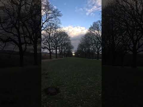
Rowlands Gill: 4K Autumn Walking Tour. #autumn #autumnleaves #walk #walkingtour
Video recorded by Luke Honeythunder on Saturday 4th November 2023. Video recorded using a DJI OSMO Pocket 3 camera in ...

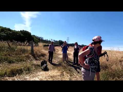
Lintzford Loop walk with 'Interesting Walks - Your Friendly NE Walking Group'
Short video of quite a lovely, long, hot walk with the Facebook group 'Interesting Walks -Your Friendly NE Walking Group'
Nearby Amenities
Located within 500m of 54.904654,-1.7407288Have you been to Leazes?
Leave your review of Leazes below (or comments, questions and feedback).