Friarside, High
Settlement in Durham
England
Friarside, High
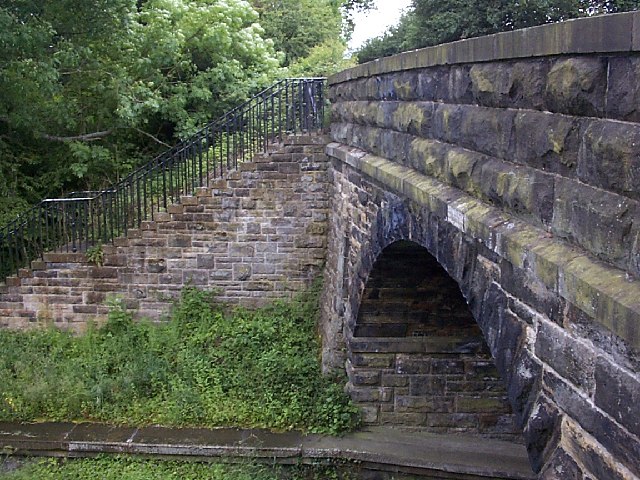
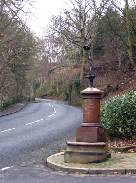
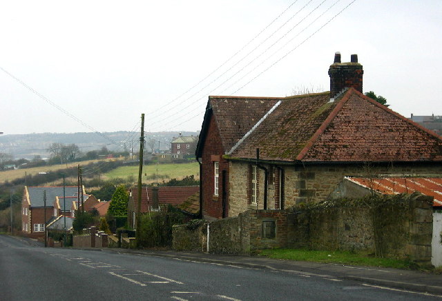
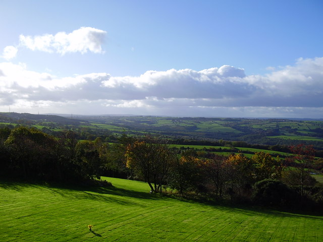
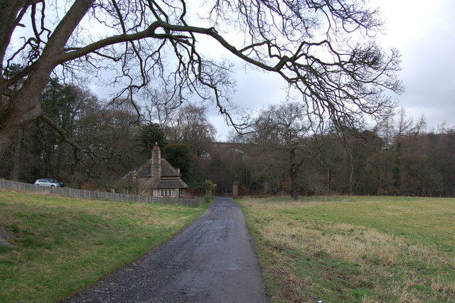
Friarside is a small village located in the county of Durham, England. Situated in the northern part of the county, it is part of the larger parish of High, which encompasses several neighboring settlements. The village is nestled in a picturesque rural landscape, surrounded by rolling hills and green fields.
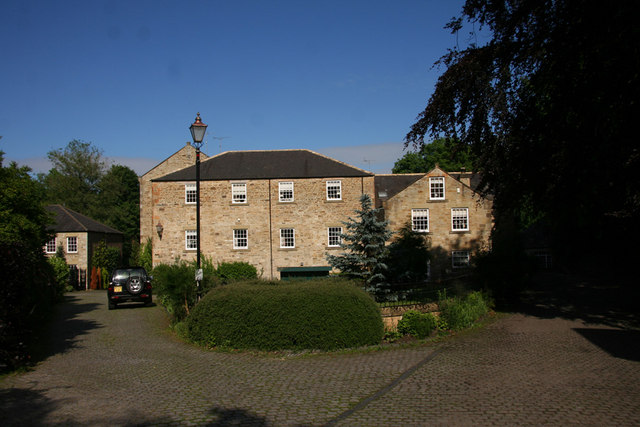
With a population of around 500 residents, Friarside exudes a charming and close-knit community atmosphere. The village is primarily residential, with a scattering of traditional stone houses and cottages lining its streets. The architecture reflects the area's rich history, with some buildings dating back several centuries.
Despite its small size, Friarside boasts a few amenities to cater to its residents' needs. These include a local pub, which serves as a popular meeting place for villagers, and a small convenience store that provides essential goods. Additionally, the village has a primary school, ensuring that families have access to education within the community.
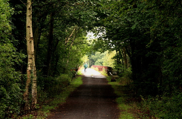
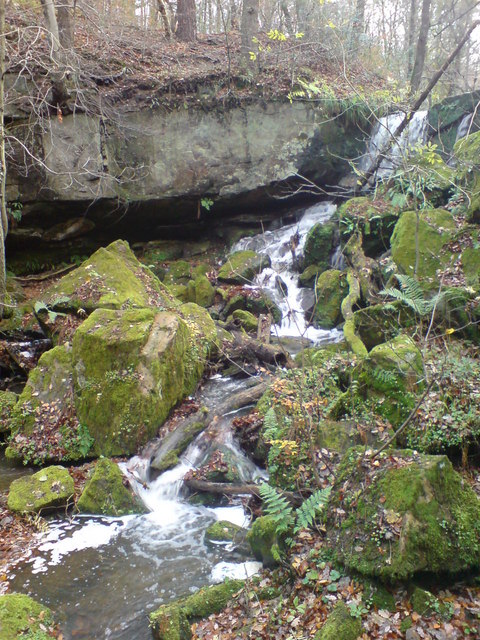
Nature lovers will find themselves at home in Friarside, as it offers easy access to the stunning countryside that surrounds it. The village is surrounded by numerous walking trails and nature reserves, providing ample opportunities for outdoor activities such as hiking, cycling, and birdwatching.
Overall, Friarside is a peaceful and idyllic village that offers a quiet retreat from the hustle and bustle of city life. With its beautiful surroundings, friendly community, and convenient amenities, it is a place that many residents are proud to call home.
If you have any feedback on the listing, please let us know in the comments section below.
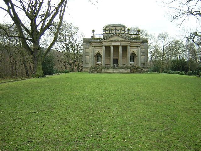
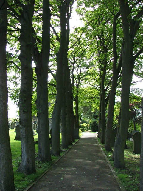
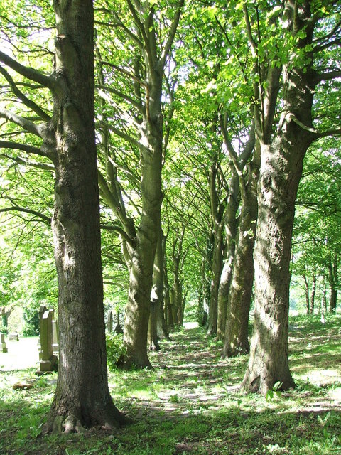
Friarside, High Images
Images are sourced within 2km of 54.90496/-1.748719 or Grid Reference NZ1656. Thanks to Geograph Open Source API. All images are credited.


Friarside, High is located at Grid Ref: NZ1656 (Lat: 54.90496, Lng: -1.748719)
Unitary Authority: County Durham
Police Authority: Durham
What 3 Words
///shimmered.tablets.insert. Near Burnopfield, Co. Durham
Nearby Locations
Related Wikis

High Friarside
High Friarside is a village in County Durham, England. It is situated a short distance to the west of Burnopfield. == References ==
Burnopfield
Burnopfield is a village in County Durham, in England. It is situated north of Stanley and Annfield Plain, close to the River Derwent and is 564 feet above...

Lintz Green railway station
Lintz Green Railway Station was on the Derwent Valley Railway Branch of the North Eastern Railway near Consett, County Durham, England. The railway station...
Lintzford
Lintzford is a small village on the border of County Durham and Tyne and Wear, England. Situated on the River Derwent in the countryside near the town...
Nearby Amenities
Located within 500m of 54.90496,-1.748719Have you been to Friarside, High?
Leave your review of Friarside, High below (or comments, questions and feedback).