High Friarside
Settlement in Durham
England
High Friarside
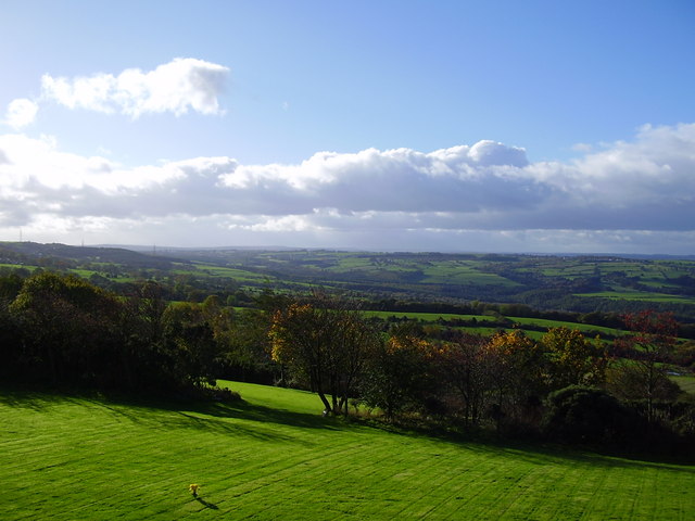
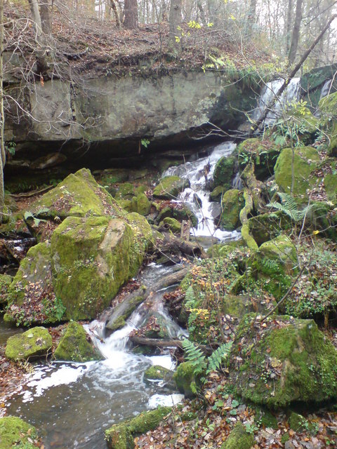
High Friarside is a small village located in County Durham, England. Situated approximately 4 miles northwest of Durham City, it lies within the civil parish of Lanchester. The village is nestled amidst picturesque countryside, with rolling hills and stunning landscapes that attract nature enthusiasts and outdoor lovers.
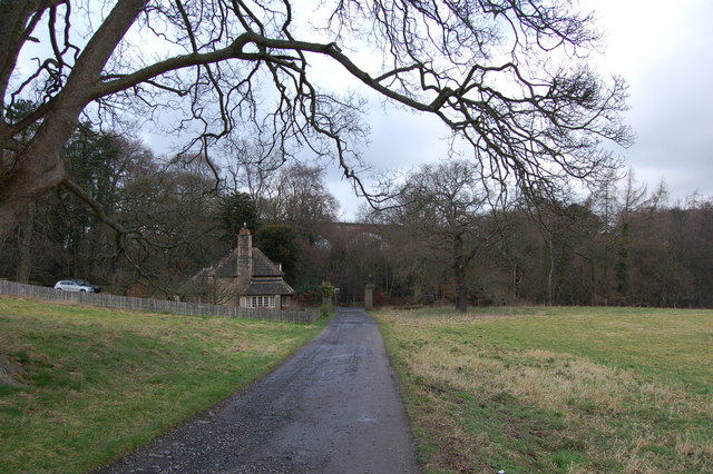
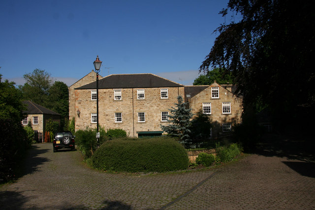
High Friarside is known for its traditional charm and peaceful atmosphere, making it a desirable place to live for those seeking a slower pace of life away from the hustle and bustle of urban areas. The village is characterized by a mix of old stone houses, farm buildings, and cottages, giving it a quaint and rustic feel.
Despite its small size, High Friarside offers a range of amenities and services to its residents. There is a local pub, The Friarside, which serves as a social hub for the community, offering a place to unwind and enjoy a drink or meal. Additionally, the village has a primary school, ensuring that families have access to quality education for their children.
For those seeking recreational activities, High Friarside benefits from its proximity to the surrounding countryside. There are numerous walking and cycling routes that wind through the scenic landscapes, providing opportunities for outdoor adventures and exploration.
Overall, High Friarside provides a tranquil and idyllic setting for its residents, offering a close-knit community and access to the natural beauty of the Durham countryside.
If you have any feedback on the listing, please let us know in the comments section below.
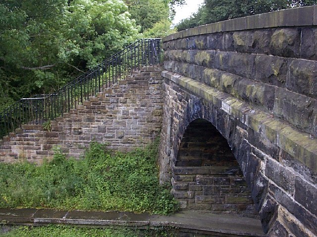
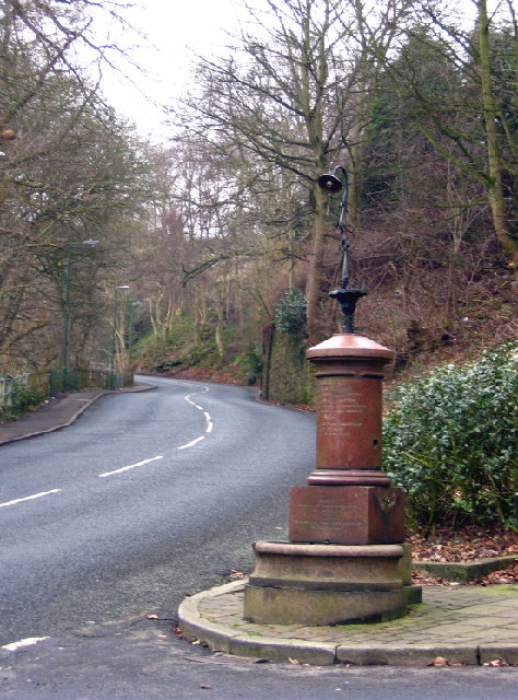
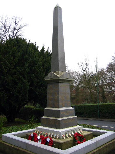
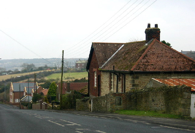
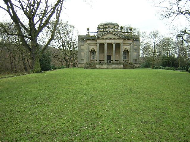
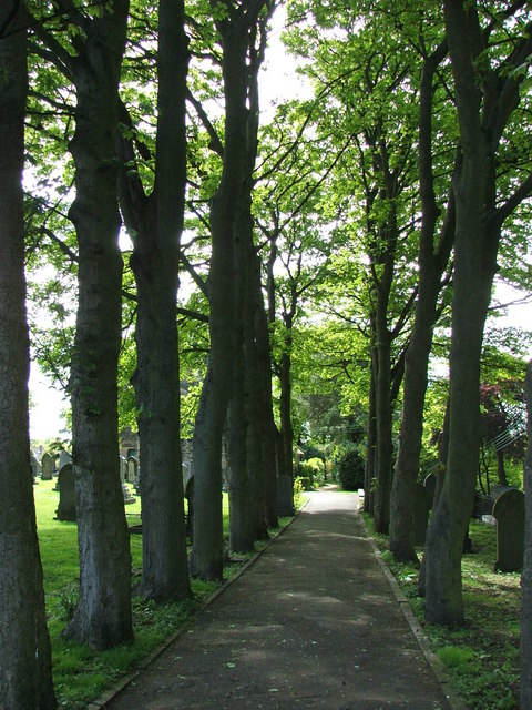
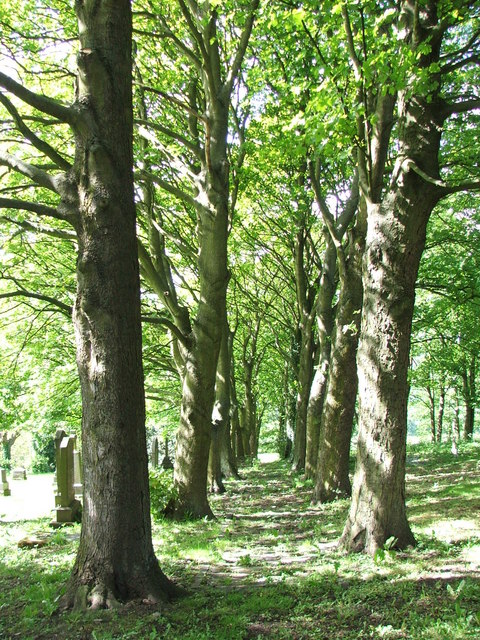
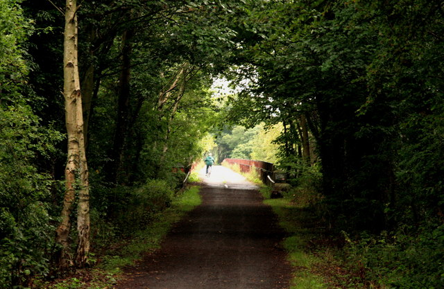
High Friarside Images
Images are sourced within 2km of 54.90496/-1.748719 or Grid Reference NZ1656. Thanks to Geograph Open Source API. All images are credited.


High Friarside is located at Grid Ref: NZ1656 (Lat: 54.90496, Lng: -1.748719)
Unitary Authority: County Durham
Police Authority: Durham
What 3 Words
///shimmered.tablets.insert. Near Burnopfield, Co. Durham
Nearby Locations
Related Wikis

High Friarside
High Friarside is a village in County Durham, England. It is situated a short distance to the west of Burnopfield. == References ==
Burnopfield
Burnopfield is a village in County Durham, in England. It is situated north of Stanley and Annfield Plain, close to the River Derwent and is 564 feet above...

Lintz Green railway station
Lintz Green Railway Station was on the Derwent Valley Railway Branch of the North Eastern Railway near Consett, County Durham, England. The railway station...
Lintzford
Lintzford is a small village on the border of County Durham and Tyne and Wear, England. Situated on the River Derwent in the countryside near the town...
Pickering Nook
Pickering Nook is a small village in County Durham, in England. It is situated a few miles north of Annfield Plain and Stanley, on the A692 between Consett...
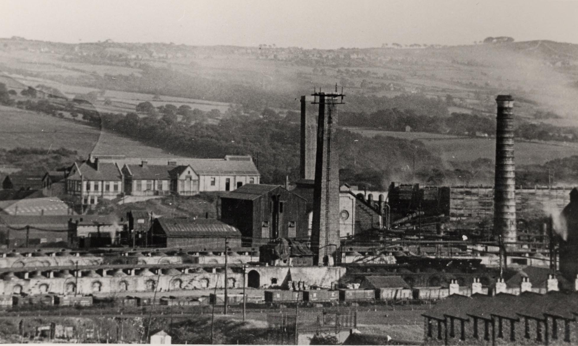
Whinfield coke works
Whinfield coke works was a large industrial complex located near Rowlands Gill in Tyne and Wear, North East England. The complex comprised a coking plant...
Hobson, County Durham
Hobson is a village in County Durham, in England. It is situated to the south of Burnopfield, north of Stanley and Annfield Plain. Hobson was a pit village...

Rowlands Gill railway station
Rowlands Gill railway station served the village of Rowlands Gill, Tyne and Wear, England from 1867 to 1963 on the Derwent Valley Railway. == History... ==
Nearby Amenities
Located within 500m of 54.90496,-1.748719Have you been to High Friarside?
Leave your review of High Friarside below (or comments, questions and feedback).