Furze, High
Settlement in Warwickshire Stratford-on-Avon
England
Furze, High

Furze, High is a small village located in the county of Warwickshire, England. Situated approximately 5 miles southeast of the town of Warwick, the village is nestled in a picturesque rural landscape, surrounded by rolling hills and farmland.
With a population of around 300 residents, Furze, High maintains a close-knit and friendly community atmosphere. The village is characterized by its charming thatched-roof cottages, which add to its traditional English countryside appeal. The architecture of the village reflects its long history, with some buildings dating back to the 17th century.
Despite its small size, Furze, High offers a range of amenities for residents and visitors alike. The village boasts a well-maintained village hall, which serves as a hub for community events and gatherings. Additionally, there is a primary school within the village, providing educational facilities for local children.
Nature enthusiasts will appreciate the abundance of walking trails and green spaces surrounding Furze, High. The village is located near several nature reserves and parks, offering opportunities for leisurely strolls and wildlife spotting. The nearby River Avon also provides a picturesque setting for outdoor activities such as fishing and boating.
For those seeking a taste of local history, the nearby town of Warwick offers numerous attractions, including the famous Warwick Castle, a medieval fortress steeped in history. The castle, along with its beautiful grounds and gardens, provides an ideal destination for day trips and exploration.
Overall, Furze, High is a tranquil and idyllic village, offering residents and visitors a peaceful retreat from the hustle and bustle of city life.
If you have any feedback on the listing, please let us know in the comments section below.
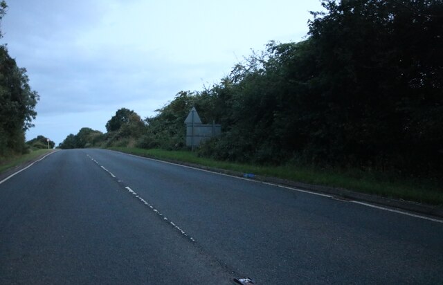
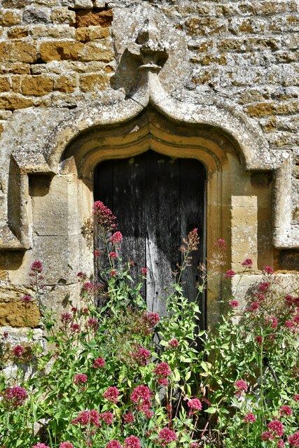
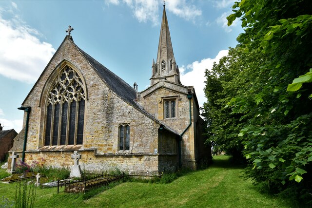
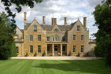
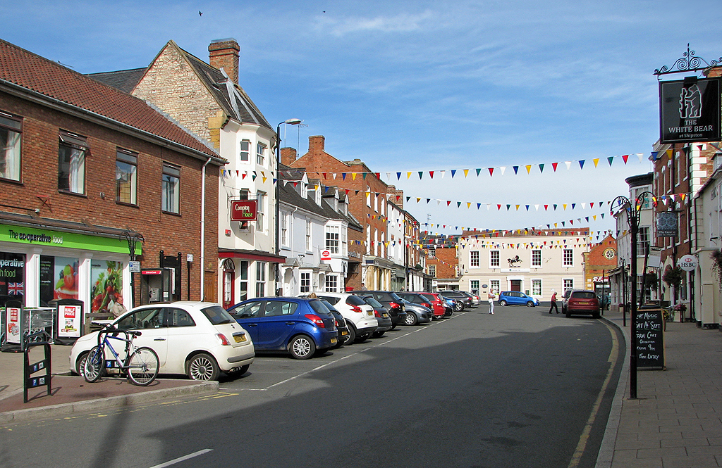
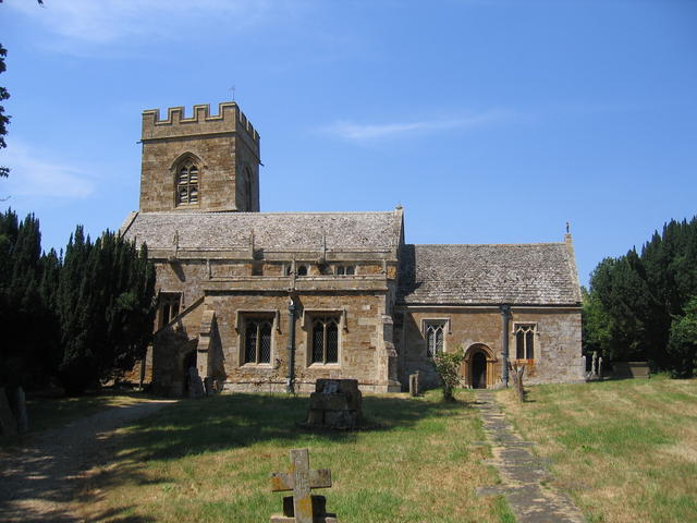
Furze, High Images
Images are sourced within 2km of 52.038/-1.6417 or Grid Reference SP2437. Thanks to Geograph Open Source API. All images are credited.


Furze, High is located at Grid Ref: SP2437 (Lat: 52.038, Lng: -1.6417)
Administrative County: Warwickshire
District: Stratford-on-Avon
Police Authority: Warwickshire
What 3 Words
///outlooks.ages.shapeless. Near Shipston on Stour, Warwickshire
Nearby Locations
Related Wikis
Tidmington
Tidmington is a village and civil parish in the Stratford-on-Avon District of Warwickshire, England. It is 11 miles (18 km) south from the town of Stratford...
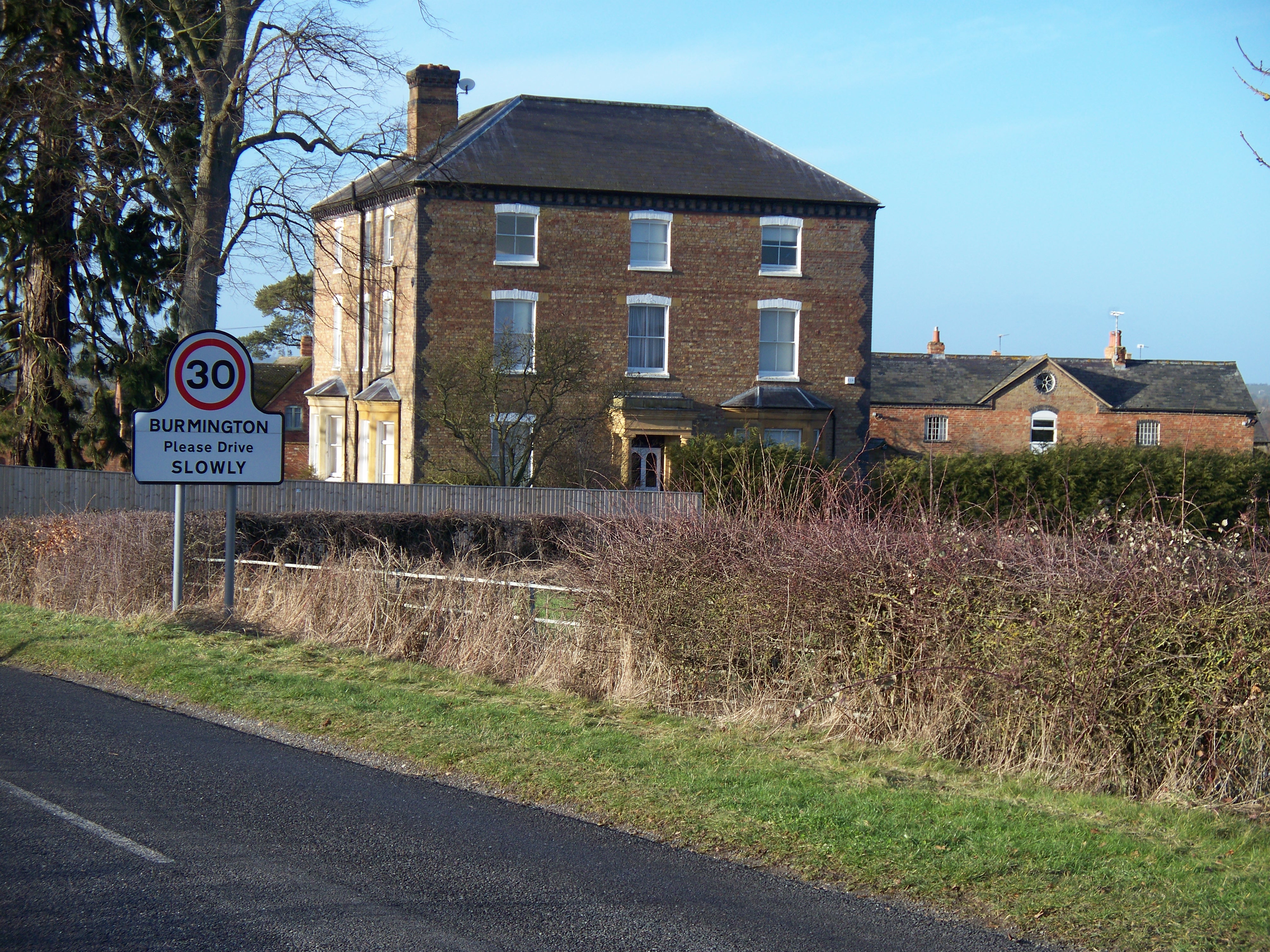
Burmington
Burmington is a village and civil parish in Warwickshire, England. It is 2 miles (3 km) south of Shipston-on-Stour. The population at the 2001 Census was...

Stretton-on-Fosse railway station
Stretton-on-Fosse railway station was a railway station which served the village of Stretton-on-Fosse, Warwickshire, England. It was located north-east...
Todenham
Todenham is a village and civil parish in the Cotswold district of Gloucestershire, England. The village is significant for its Grade I listed 14th-century...
Stretton-on-Fosse
Stretton-on-Fosse is a village in the Stratford District in Warwickshire, England. It is situated between the towns of Moreton-in-Marsh and Shipston-on...
Willington, Warwickshire
Willington is a village in Warwickshire, England. Population details are included within Barcheston. The origin of the place-name is from Old English tun...
Shipston-on-Stour
Shipston-on-Stour is a town and civil parish in the Stratford-on-Avon District in southern Warwickshire, England. It is located on the banks of the River...
Barcheston
Barcheston is a village and civil parish in the Stratford-on-Avon district of Warwickshire, England. The village is on the east bank of the River Stour...
Nearby Amenities
Located within 500m of 52.038,-1.6417Have you been to Furze, High?
Leave your review of Furze, High below (or comments, questions and feedback).