Lintzford
Settlement in Durham
England
Lintzford
Lintzford is a small suburban village located in County Durham, England. It is situated on the southern bank of the River Derwent, approximately 3 miles northwest of the town of Chester-le-Street. Lintzford falls within the historical boundaries of County Durham, which is known for its rich industrial heritage.
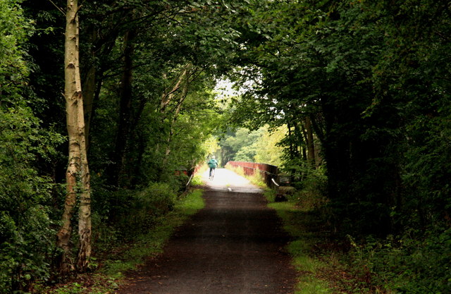
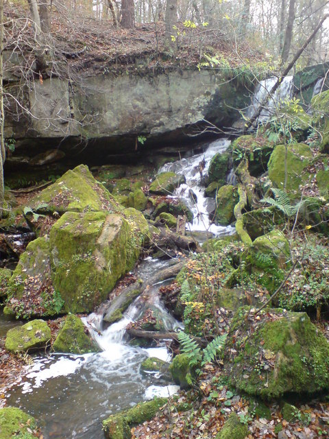
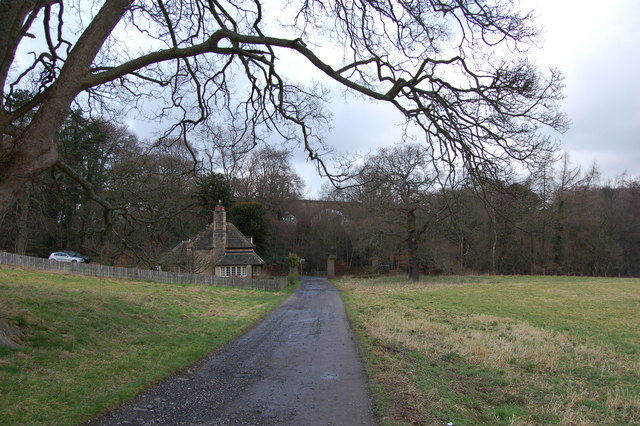
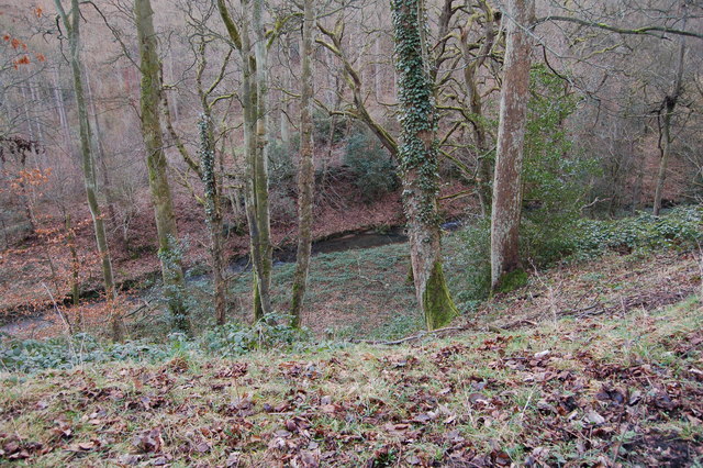
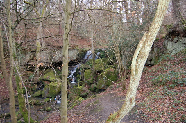
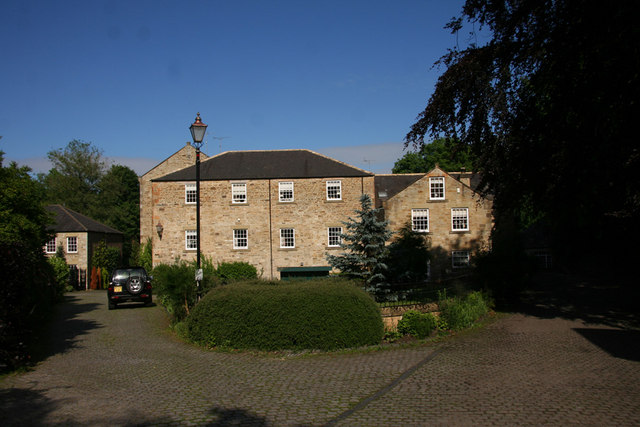
The village is primarily residential, with a mix of housing styles ranging from traditional cottages to modern developments. Lintzford benefits from its proximity to both natural and urban amenities. The nearby Derwent Walk Country Park offers picturesque green spaces, walking trails, and a popular cycling route along the former Derwent Valley Railway line. The park attracts nature enthusiasts and families alike.
Despite its small size, Lintzford has a close-knit community and a range of local amenities. There is a primary school serving the village, providing education for children aged 5-11. Additionally, there are several shops, a post office, and a pub, catering to the daily needs of residents.
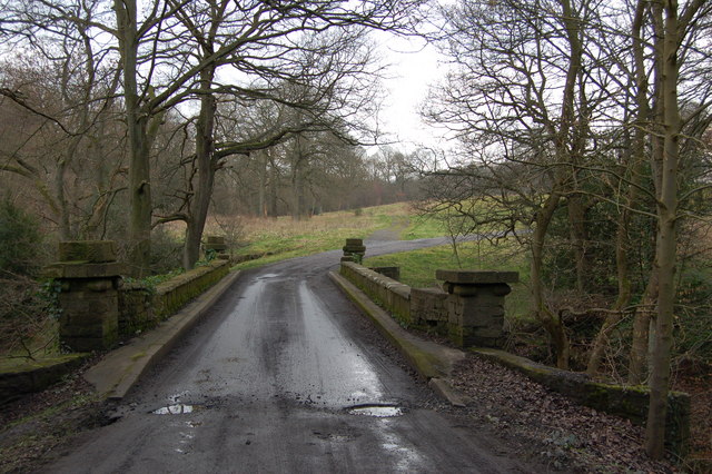
Transport links in Lintzford are convenient, with regular bus services connecting the village to Chester-le-Street and surrounding areas. The A1(M) motorway is easily accessible, providing connections to Newcastle upon Tyne and Durham City.
Lintzford offers a peaceful and picturesque setting, making it an attractive place to live for those seeking a suburban lifestyle within reach of both rural scenery and urban conveniences.
If you have any feedback on the listing, please let us know in the comments section below.
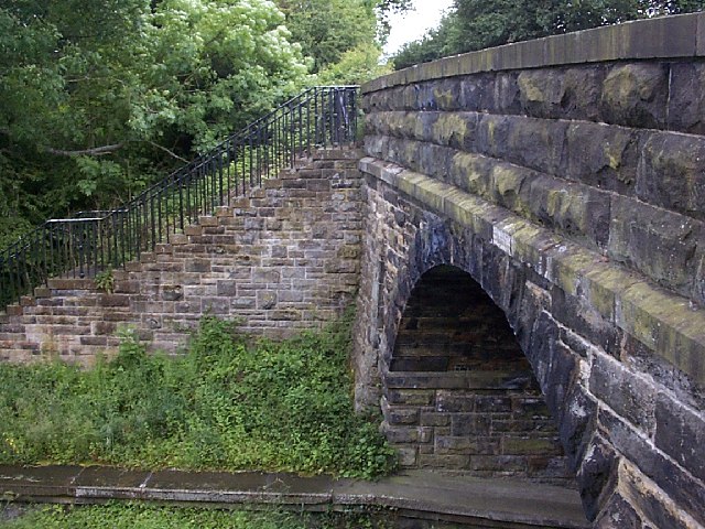
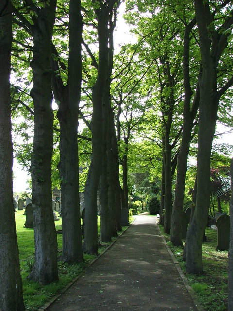
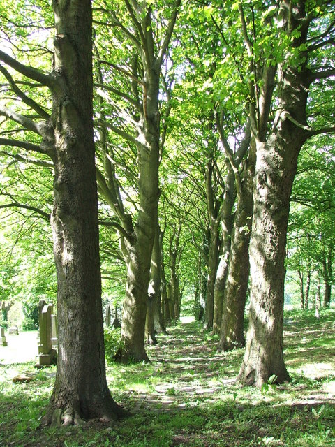
Lintzford Images
Images are sourced within 2km of 54.909208/-1.765397 or Grid Reference NZ1557. Thanks to Geograph Open Source API. All images are credited.


Lintzford is located at Grid Ref: NZ1557 (Lat: 54.909208, Lng: -1.765397)
Unitary Authority: Gateshead
Police Authority: Northumbria
What 3 Words
///unpainted.issues.stove. Near Rowlands Gill, Tyne & Wear
Nearby Locations
Related Wikis
Lintzford
Lintzford is a small village on the border of County Durham and Tyne and Wear, England. Situated on the River Derwent in the countryside near the town...

Lintz Green railway station
Lintz Green Railway Station was on the Derwent Valley Railway Branch of the North Eastern Railway near Consett, County Durham, England. The railway station...
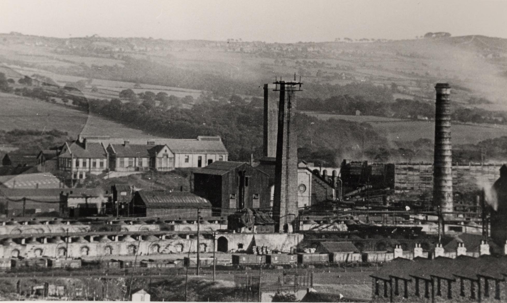
Whinfield coke works
Whinfield coke works was a large industrial complex located near Rowlands Gill in Tyne and Wear, North East England. The complex comprised a coking plant...

Hamsterley Mill
Hamsterley Mill is a village in County Durham, around 3 miles from Burnopfield and approximately the same distance from Consett.
High Friarside
High Friarside is a village in County Durham, England. It is situated a short distance to the west of Burnopfield. == References ==
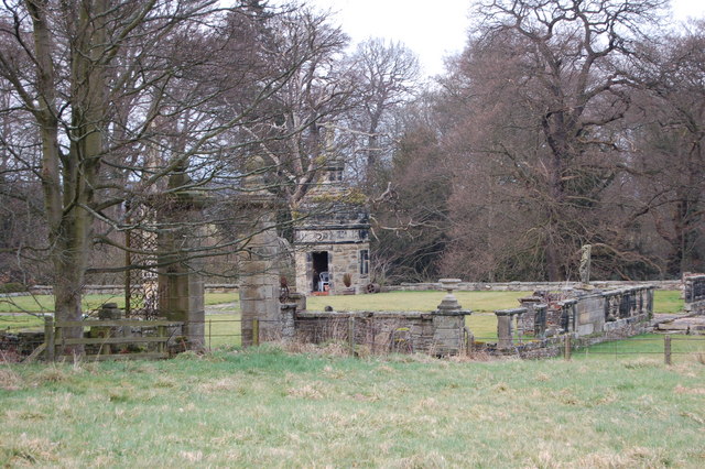
Hamsterley Hall
Hamsterley Hall is an 18th-century English country house at Hamsterley, Rowlands Gill, County Durham, England. It is a Grade II* listed building. The estate...
Rowlands Gill
Rowlands Gill is a village on the north bank of the River Derwent, in the Metropolitan Borough of Gateshead, Tyne and Wear, England. The Gibside Estate...
Burnopfield
Burnopfield is a village in County Durham, in England. It is situated north of Stanley and Annfield Plain, close to the River Derwent and is 564 feet above...
Nearby Amenities
Located within 500m of 54.909208,-1.765397Have you been to Lintzford?
Leave your review of Lintzford below (or comments, questions and feedback).