Lintridge
Settlement in Gloucestershire Forest of Dean
England
Lintridge
Lintridge is a small village located in the county of Gloucestershire, England. Situated in the picturesque Cotswolds region, it is known for its idyllic countryside and charming rural atmosphere. Lintridge is nestled amidst rolling hills and green pastures, offering residents and visitors a peaceful retreat away from the hustle and bustle of city life.
The village itself is relatively small, with a population of around 500 people. It features a quaint parish church, St. Mary's, which dates back to the 12th century and is a prominent historical landmark in the area. The church's stunning architecture and serene surroundings make it a popular spot for weddings and other special occasions.
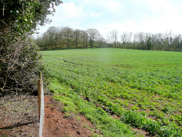
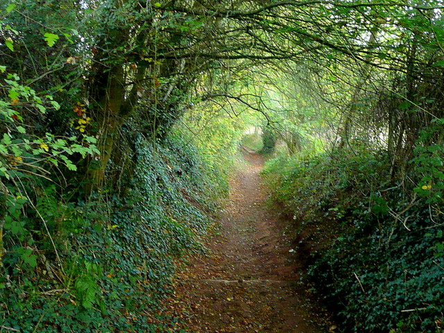
Though primarily a residential area, Lintridge is surrounded by a number of farms, contributing to the village's agricultural heritage. This rural setting provides opportunities for outdoor activities such as hiking, cycling, and horse riding, allowing visitors to immerse themselves in the natural beauty of the Cotswolds.
Lintridge is also well-connected to nearby towns and cities. The market town of Stroud is just a short drive away, offering a range of amenities including shops, restaurants, and leisure facilities. The city of Gloucester, with its historic cathedral and vibrant cultural scene, is also within easy reach.
Overall, Lintridge offers a tranquil and picturesque setting for those seeking a peaceful countryside experience. With its charming village atmosphere, stunning surroundings, and convenient location, it is a hidden gem in the heart of Gloucestershire.
If you have any feedback on the listing, please let us know in the comments section below.
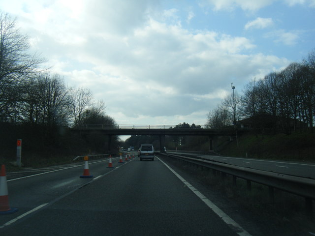
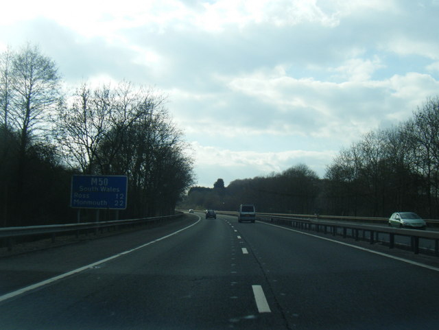
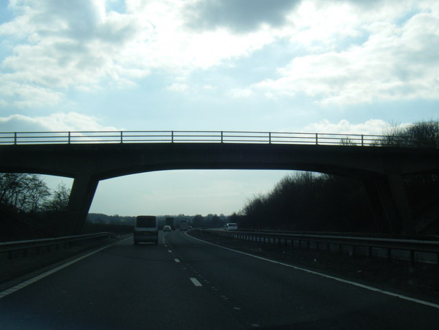
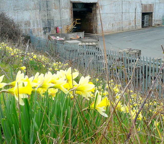
Lintridge Images
Images are sourced within 2km of 51.985842/-2.3800097 or Grid Reference SO7432. Thanks to Geograph Open Source API. All images are credited.


Lintridge is located at Grid Ref: SO7432 (Lat: 51.985842, Lng: -2.3800097)
Administrative County: Gloucestershire
District: Forest of Dean
Police Authority: Gloucestershire
What 3 Words
///revolts.deferring.soothing. Near Donnington, Herefordshire
Nearby Locations
Related Wikis

Redmarley D'Abitot
Redmarley D'Abitot is a civil parish and village in the Forest of Dean district, Gloucestershire, South West England. In addition to the village of Redmarley...

Bromsberrow
Bromsberrow (or Bromesberrow) is part of the Forest of Dean district. The village is close to the meeting point between Gloucestershire, Herefordshire...

Ketford Bank
Ketford Bank (grid reference SO723308) is a 0.69-hectare (1.7-acre) nature reserve in Gloucestershire.The site is owned and managed by the Gloucestershire...

Three Counties (Gloucestershire, Herefordshire and Worcestershire)
The Three Counties of England are traditionally the three agrarian counties of Gloucestershire, Herefordshire and Worcestershire.Including towns and cities...

Vell Mill Daffodil Meadow
Vell Mill Daffodil Meadow (grid reference SO710314) is a 2.1-hectare (5.2-acre) nature reserve in Gloucestershire.The site is owned and managed by the...

Donnington, Herefordshire
Donnington is a village and civil parish near Ledbury. == Parish church == The parish church is dedicated to Saint Mary. Donnington Hall is located here...

Castle Tump, Dymock
Castle Tump was a castle in the village of Dymock in Gloucestershire, England. The castle was built in either the 11th or more probably the early 12th...

Pauntley
Pauntley is a village and civil parish in the district of Forest of Dean, Gloucestershire, England. In 2019 it had a population of 304. == School == Pauntley...
Nearby Amenities
Located within 500m of 51.985842,-2.3800097Have you been to Lintridge?
Leave your review of Lintridge below (or comments, questions and feedback).